


Lake Tenno Tour


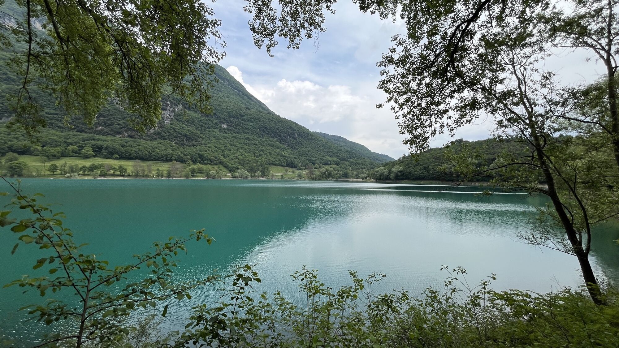
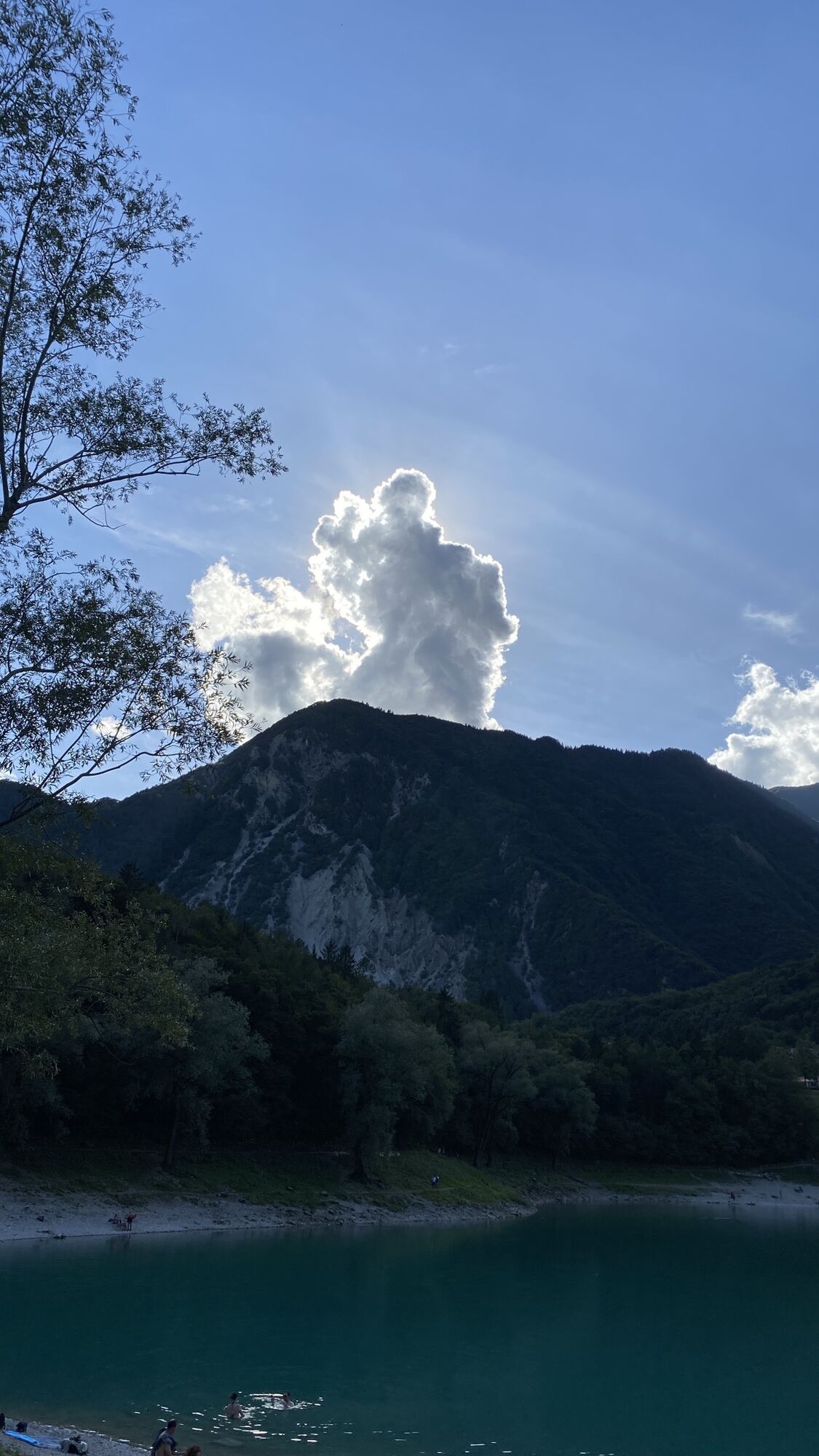
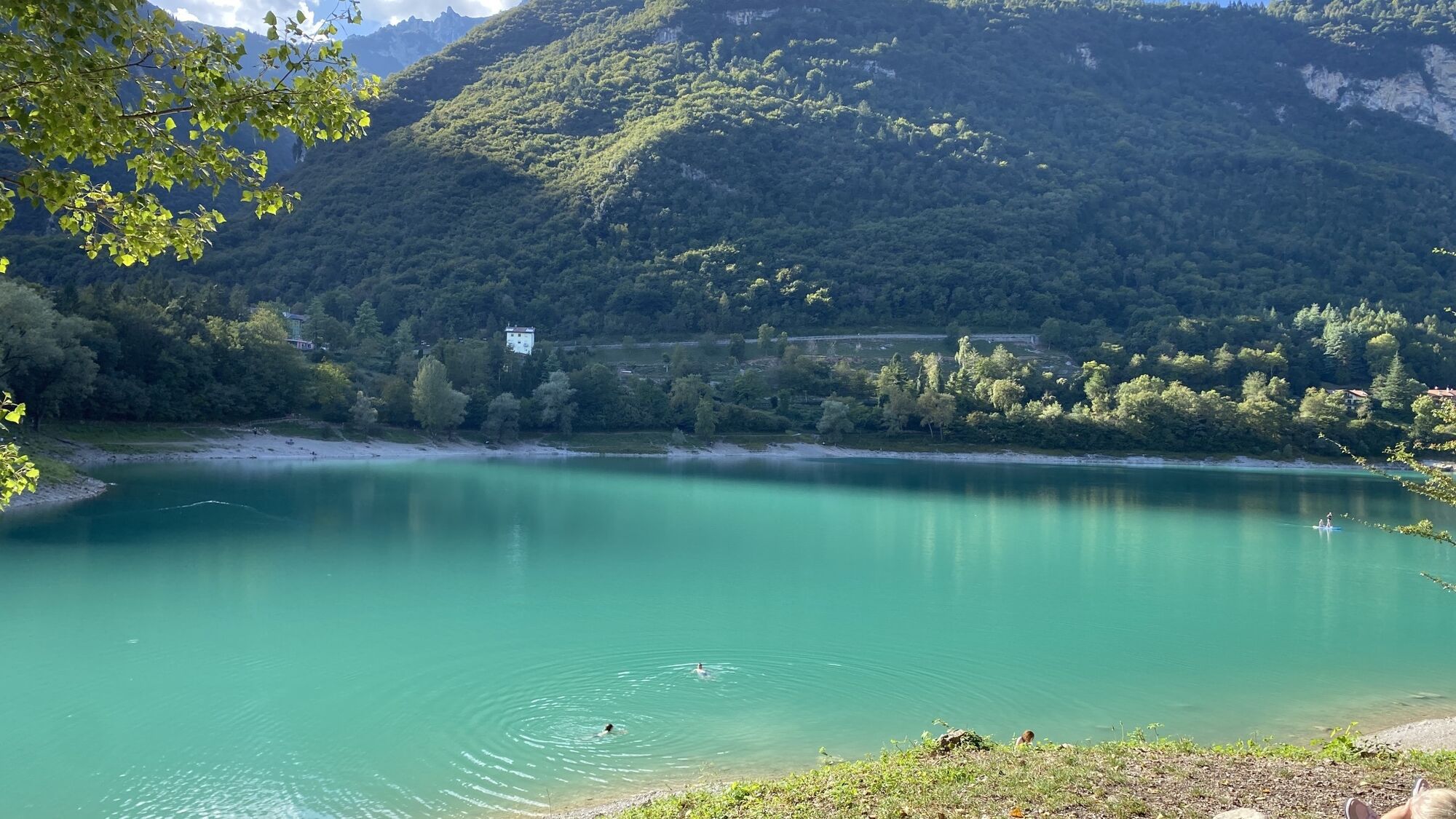
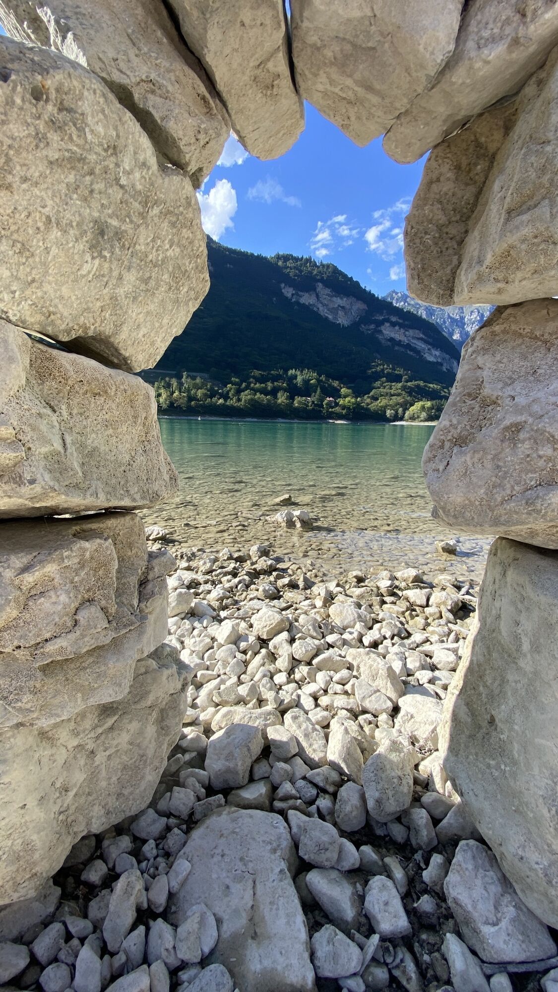
Photos de nos utilisateurs
Signage: 736. Lago di Tenno - Tour
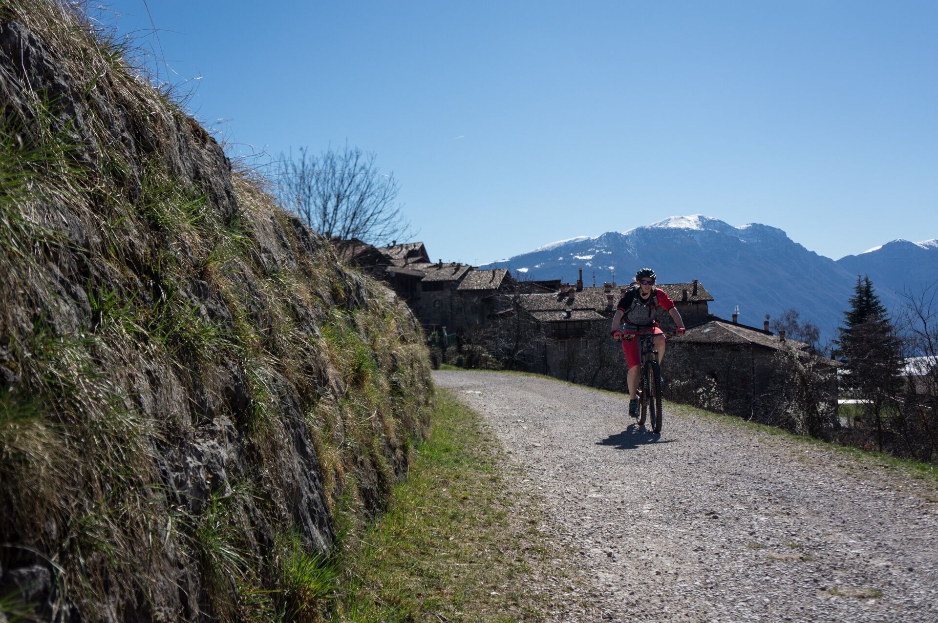
Start at the traffic-calmed centre of Tenno, ascending until you meet the main road at a bend. Cross it, then ride on gravel roads along the sunny slopes amid vineyards...
Signage: 736. Lago di Tenno - Tour
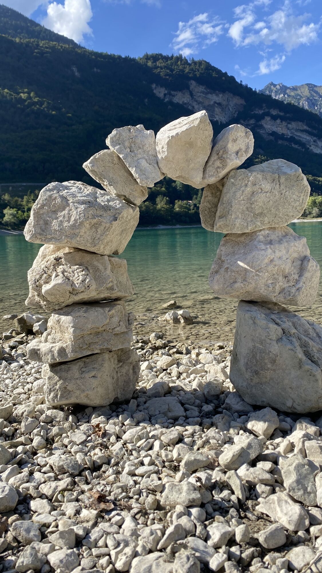
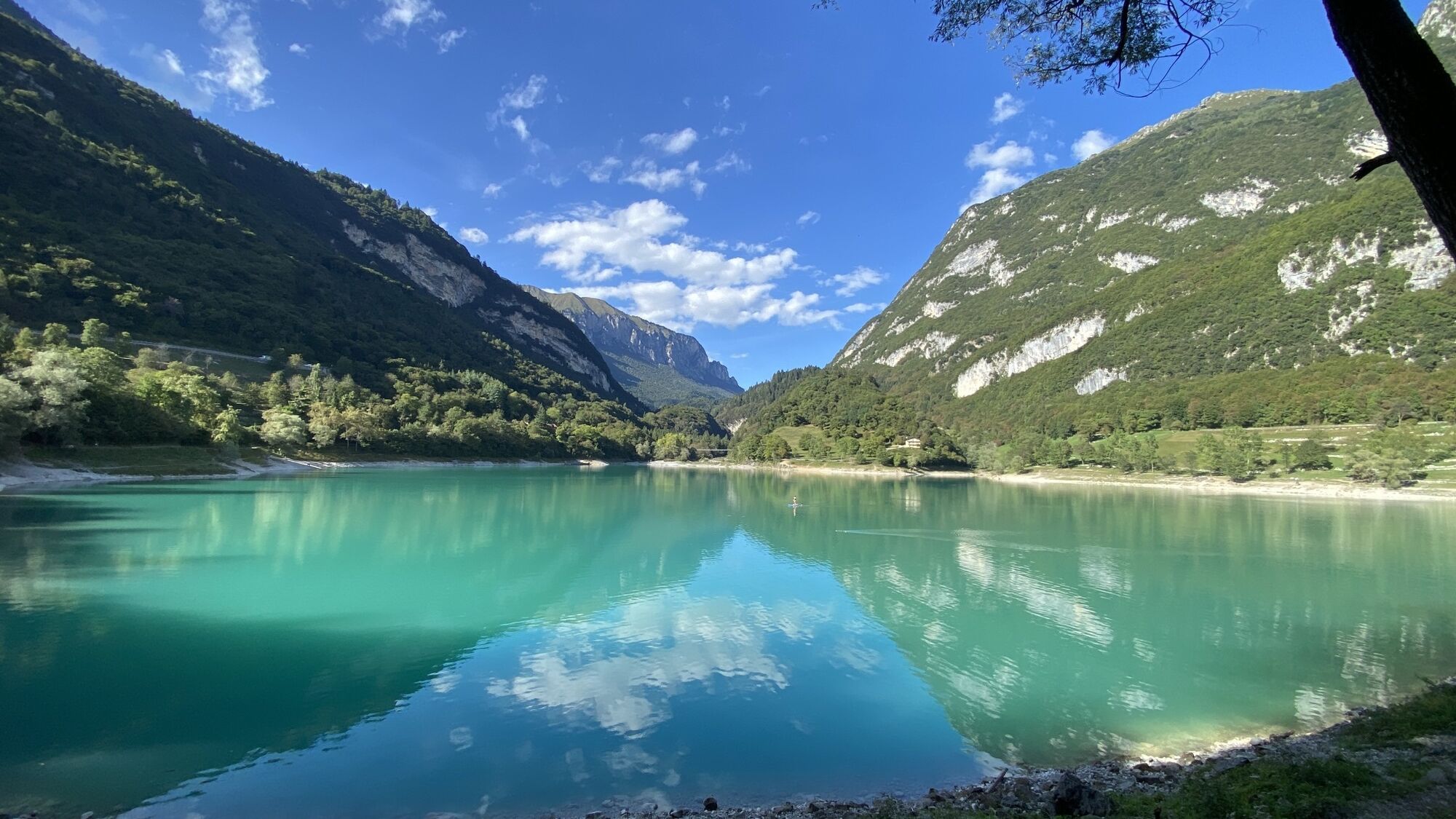
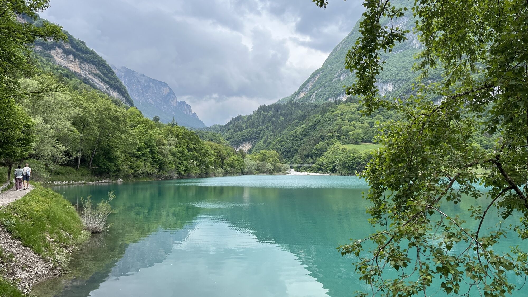
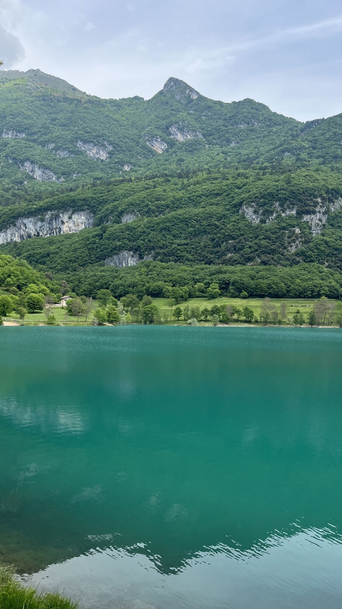
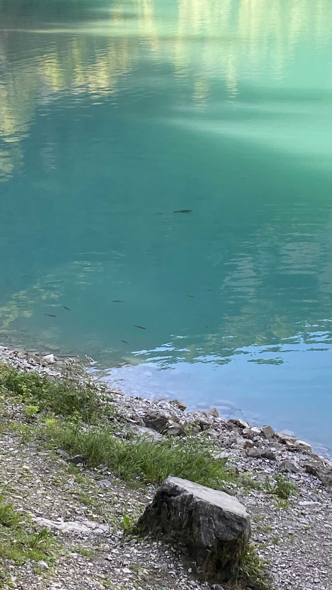
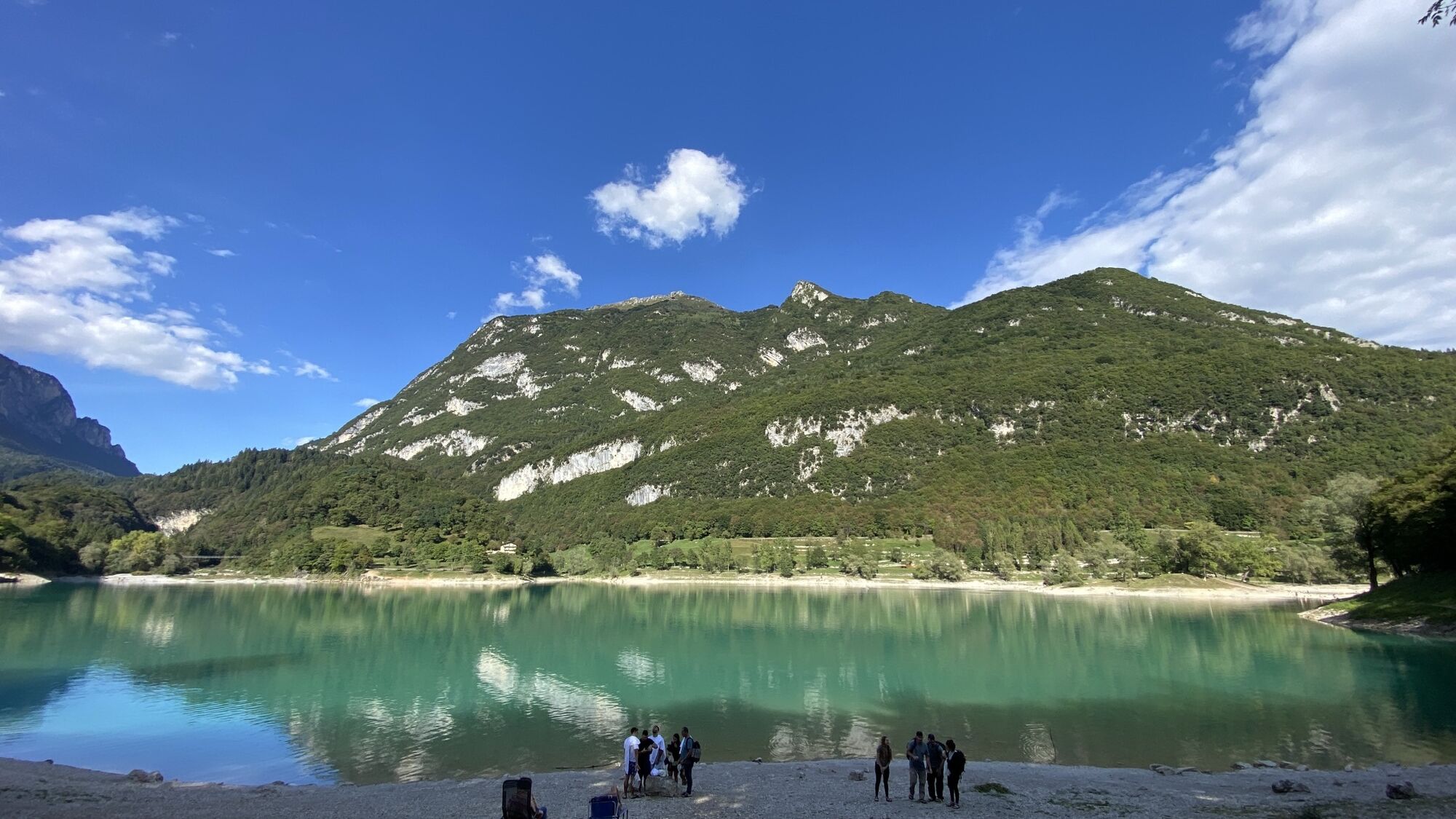
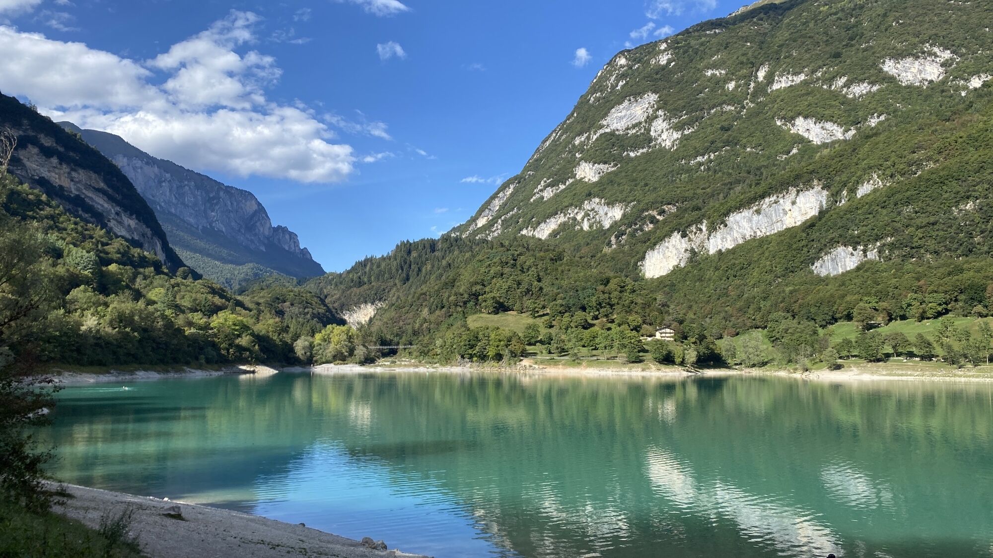
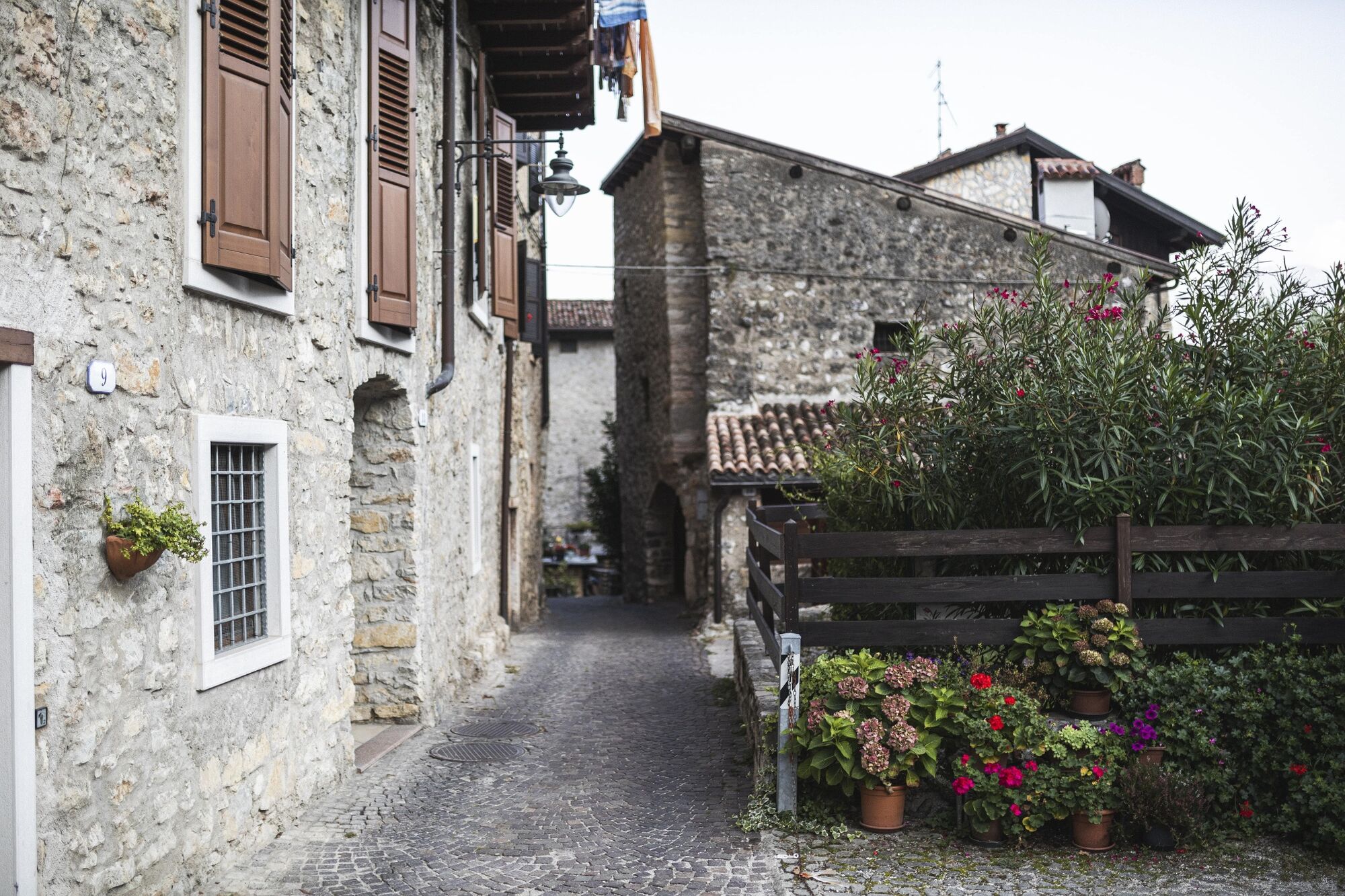
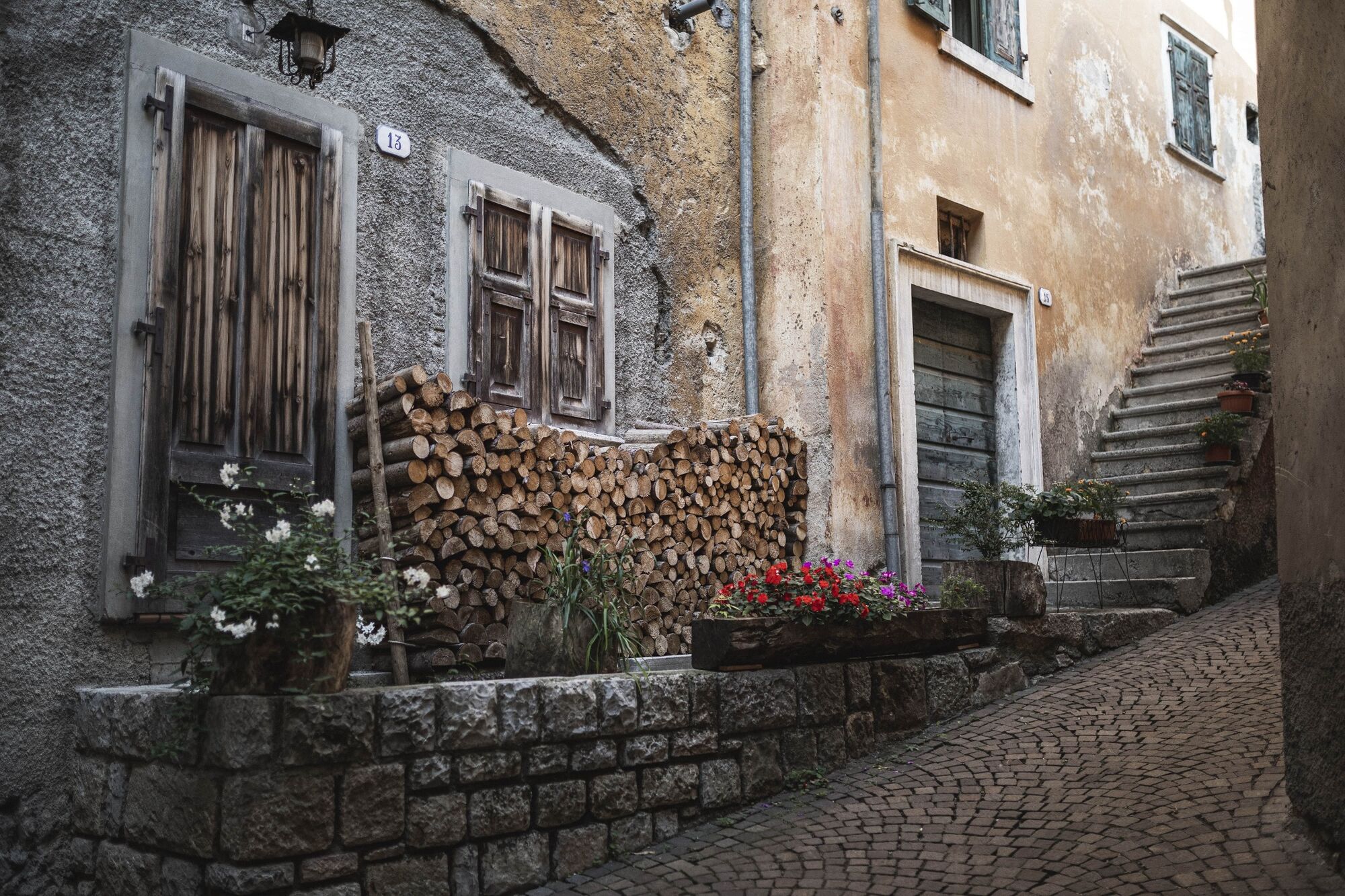
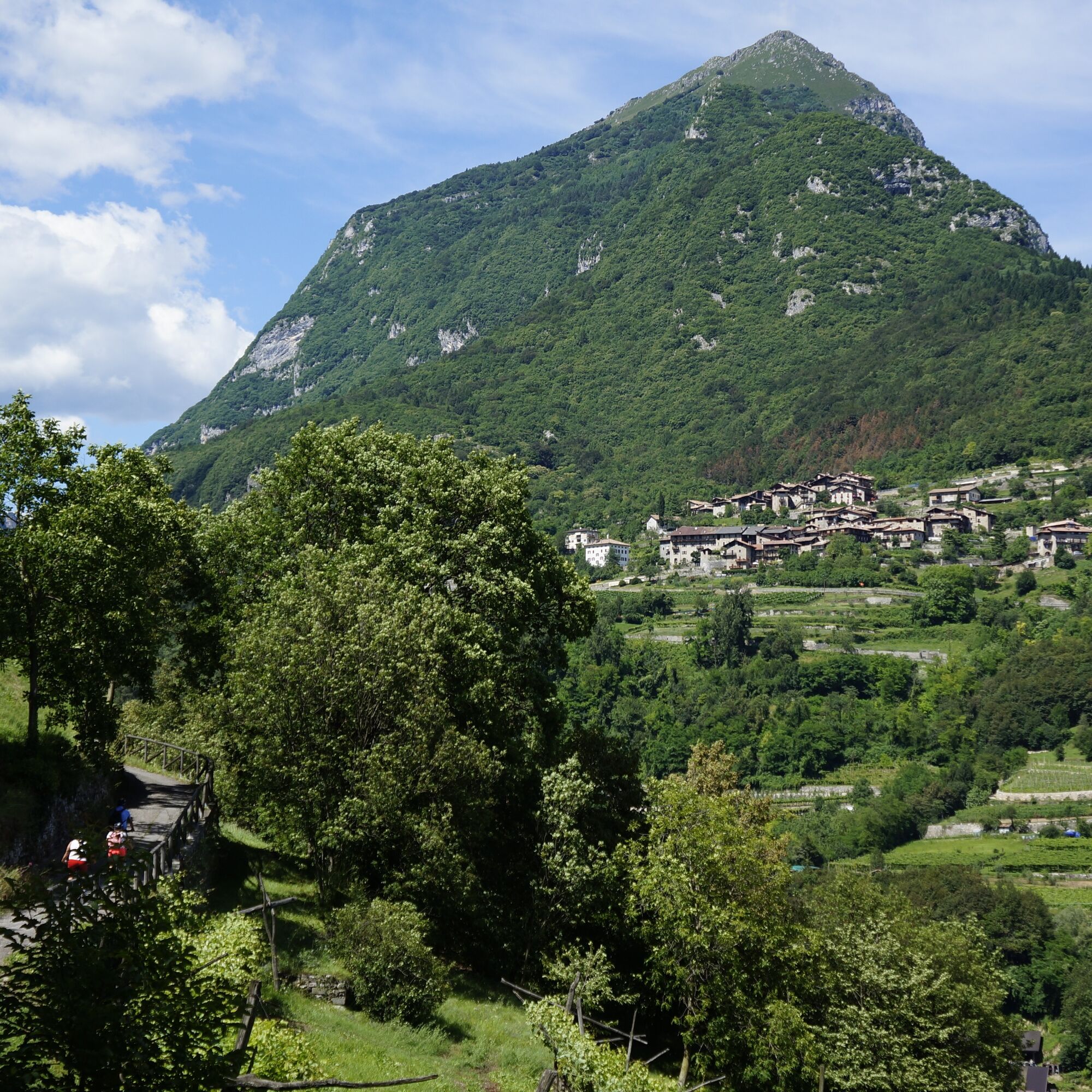
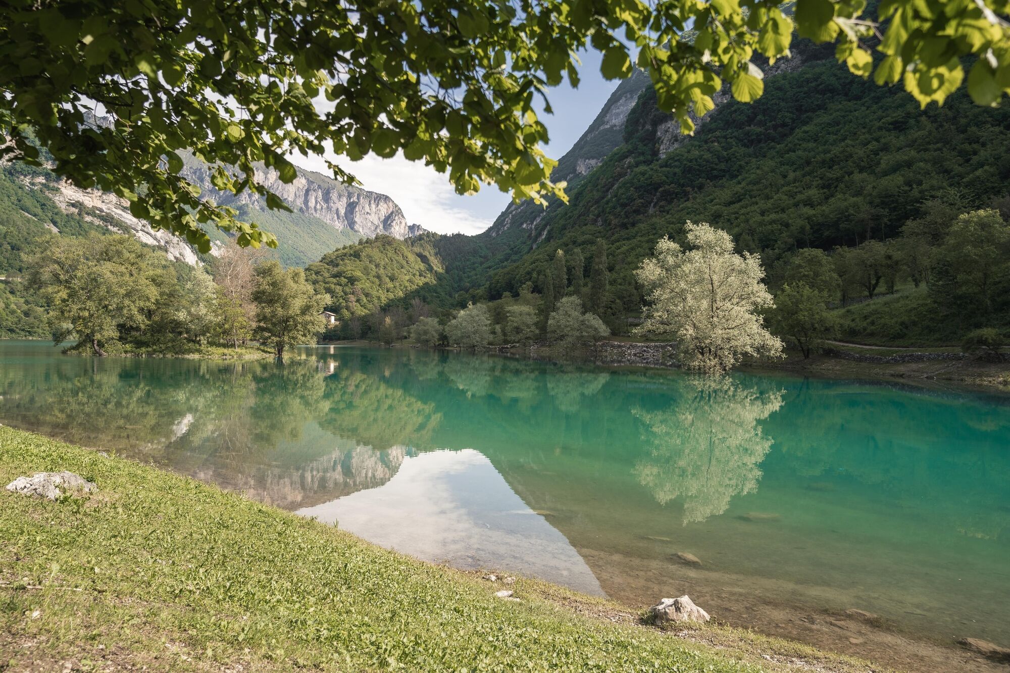
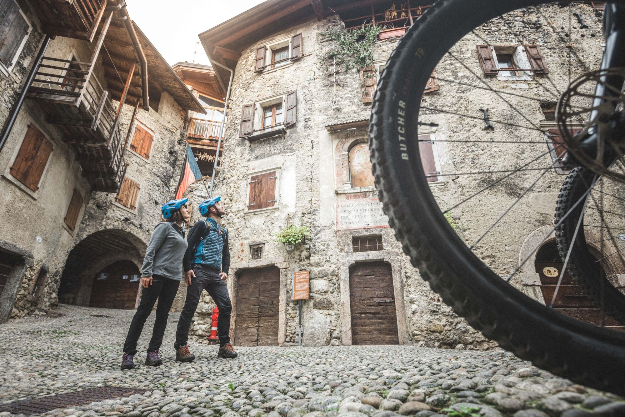
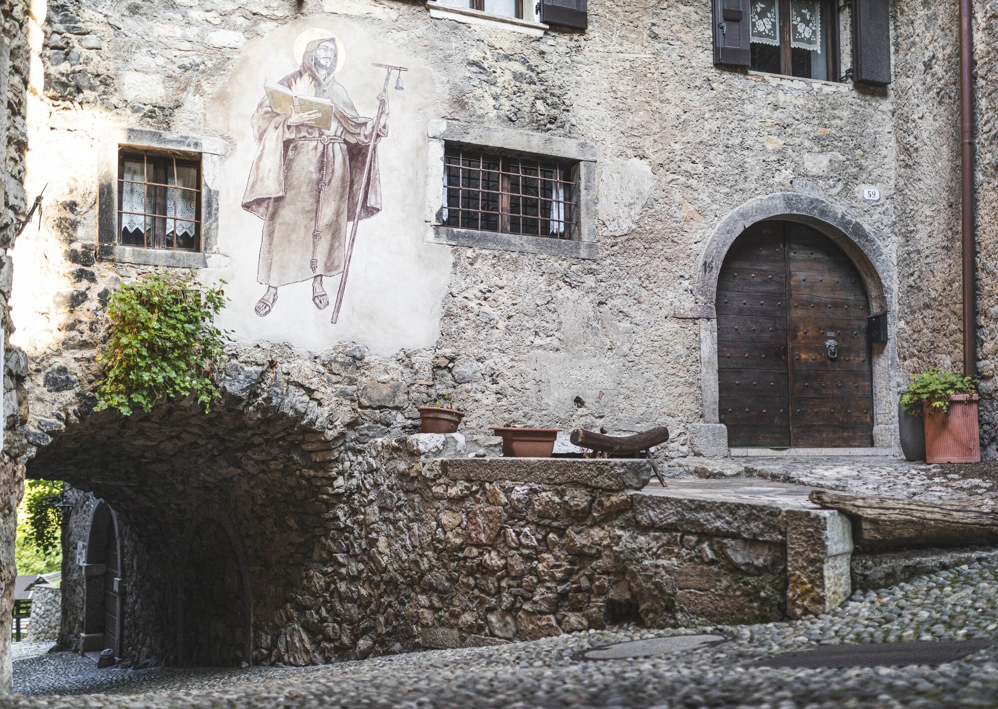
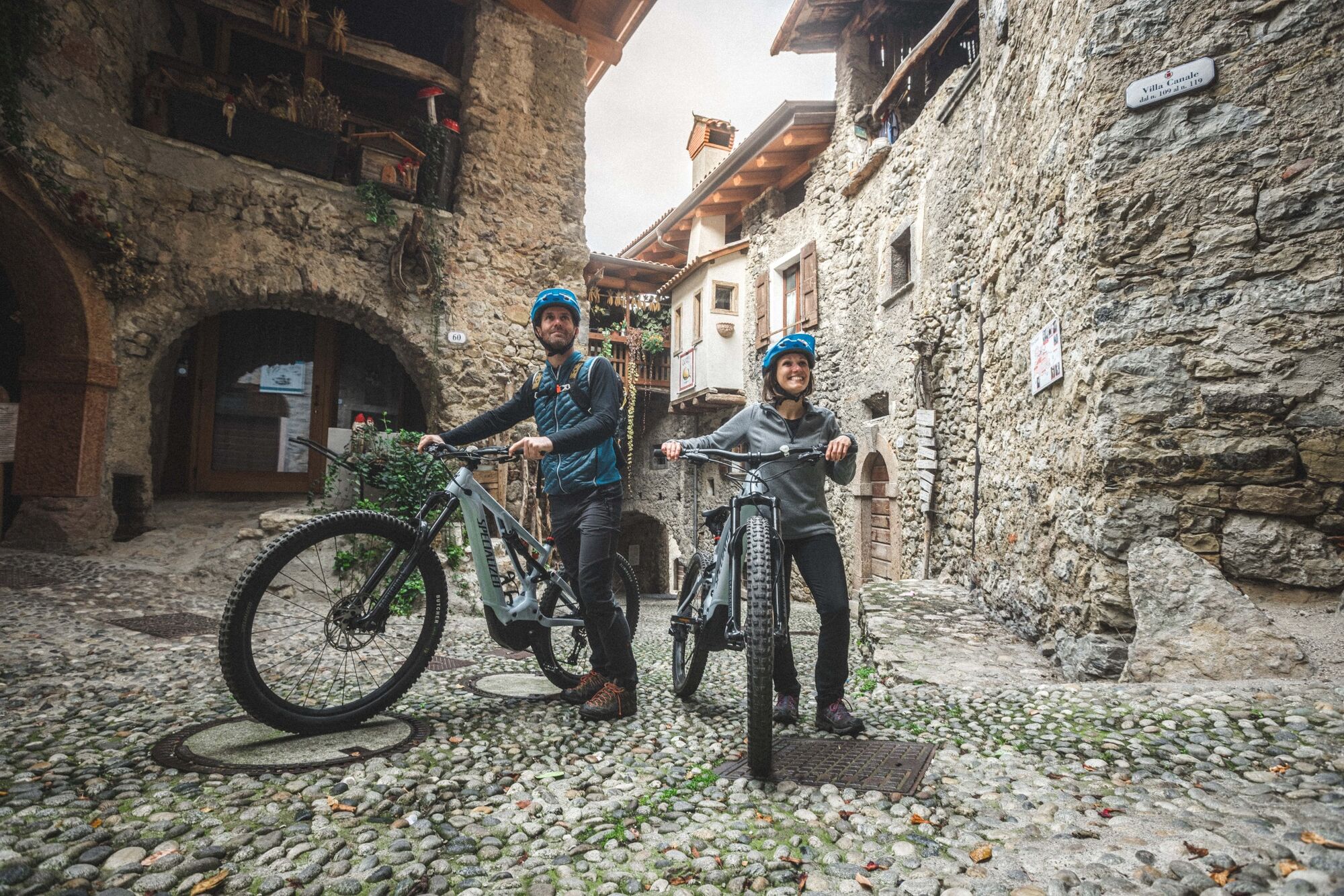
Start at the traffic-calmed centre of Tenno, ascending until you meet the main road at a bend. Cross it, then ride on gravel roads along the sunny slopes amid vineyards and olives. Just 2.5 km along the road is Canale di Tenno, which has one of the most original and charming medieval village centres and has rightly been named one of the most beautiful villages in Italy. Continue uphill towards Lago di Tenno. The route doesn’t pass right by the lake, because the paths along it are reserved exclusively for walkers. We should definitely respect that, but don’t let it stop you from visiting the idyllic turquoise water. Descend on the other side of the valley via the village of Pranzo, back to Tenno.


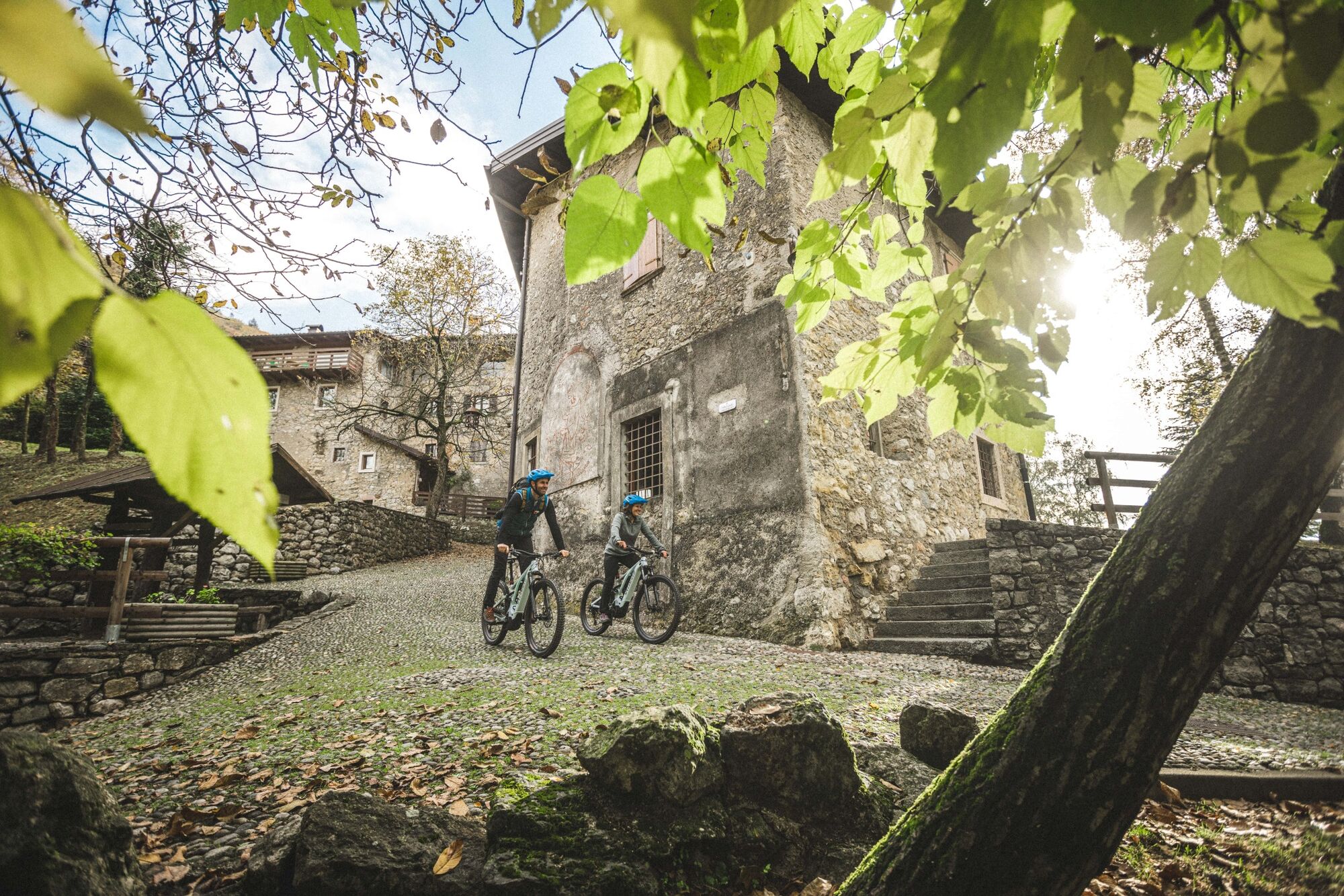
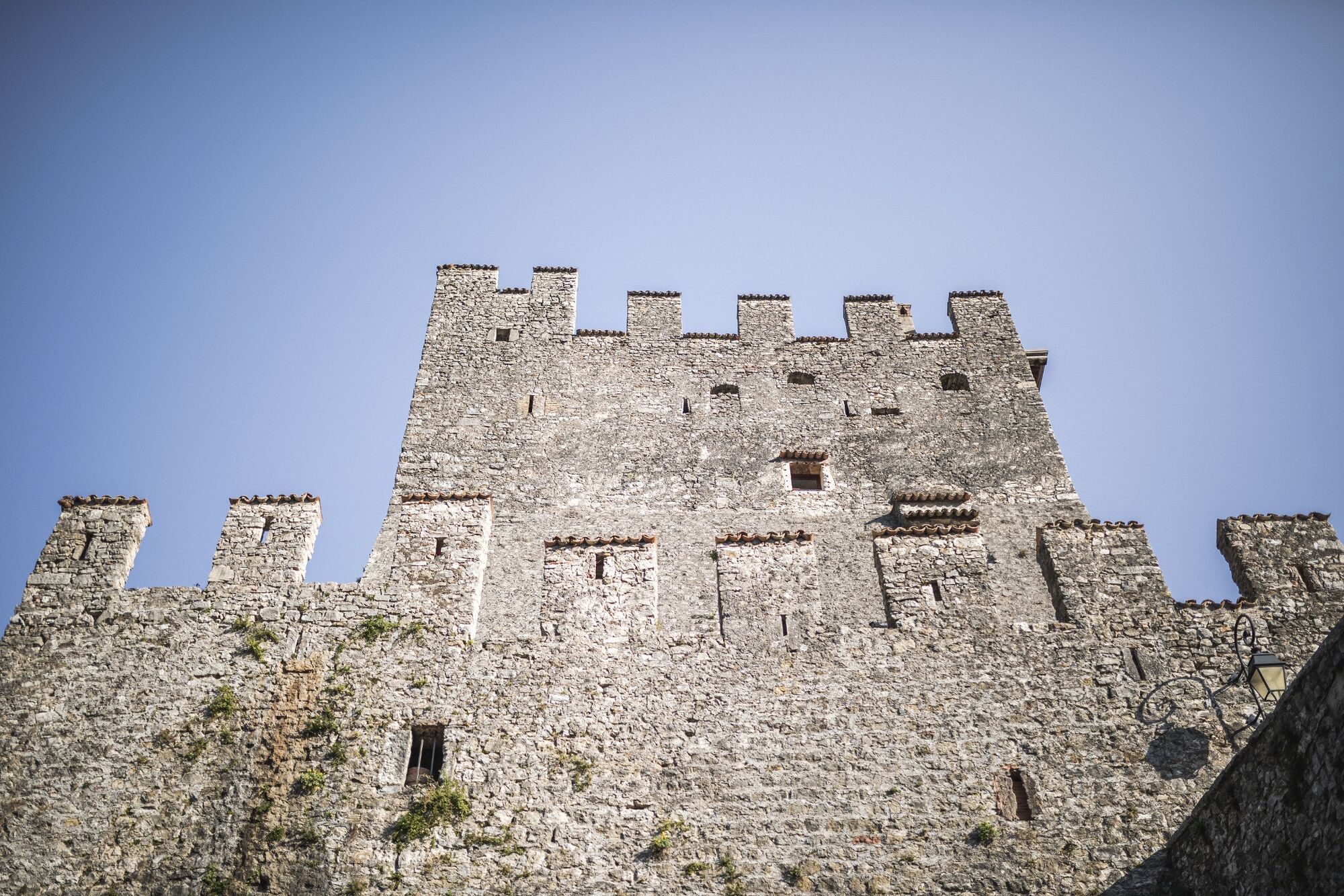
The starting point of the tour is at the car park along the main road in Tenno. From here we follow the main road towards the castle and turn left into Via Gioacchino Prati. We ride through the village and past the square and meet the main road again at a bend.
After a short stretch on asphalt, we leave the road to take the gravel path on the other side. This fairly steep path leads to the church of Sant'Antonio in Ville del Monte. We ride behind the church and then continue uphill on the main road, then turn right and take the winding asphalt road to the medieval village of Canale di Tenno.
The tour leads through Canale to the village square, where we keep to the right to take the trail towards Lake Tenno, which is paved in the first part and then turn into gravel. However, we do not go all the way to the lake: at the crossroads we turn left onto a small asphalt road (Loc. Matoni) and then left again after the car park.
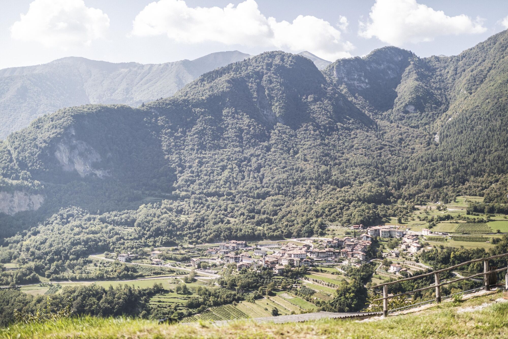
We continue along this road and pass the car park where the info point is located. At the roundabout we take the Strada provinciale and after 500 m we meet the cycle path that runs along the main road for a short stretch. Then we have no alternative than ride on the main road to reach the village of Pranzo.
We enter the village via Via di Val and continue downhill, first past the church and then below the cemetery, where we meet the main road again. After a short stretch, we leave the main road once more and take a side path on the left. At the next junction with the main road, we turn left and go up a short stretch. We then take Via dei Molini to go back to Tenno.
Riding your bike requires specific clothing and equipment, even for relatively short and easy trips. It is always better to be prepared… e.g. for bad weather or a sudden drop in your energy levels. The unexpected things are part of the fun!
Remember to thoroughly evaluate the type of route you plan on doing, the locations you intend to cross and the current season. Has it been raining? Attention: The paths may be slippery and require more caution.
What do I need to bring on my bike tour?
An adequate water supply according to your needs (considering temperature, possibility of refuelling and duration of the route) Plenty of snacks (for example, dried fruit or energy bars) Waterproof / Windproof jacket A spare top / spare socks (Descending in a sweaty garment, will make you cold). Suncream Sunglasses Bike gloves/mitts Map or GPS device Bike lights: best placed on your helmet or handlebars. (It is always best to be prepared) Bike repair kit for punctures and mechanical breakdowns First aid kit Emergency whistle
It is always advised to let someone know where you plan to go and how long you expect to be.
Emergency telephone number 112.
ITRS - International Trail Rating System
The ITRS is an objective way to assess trails and routes from a biker’s perspective, evaluating four aspects:
Technical Difficulty: riding skill level needed Endurance: combined effect of length, uphill and downhill Wilderness: amount of planning required based on mobile phone reception, rescue options, water supply and wildlife Exposure: consequences of a fall
Discover more about the ITRS system and check the classification of this tour in the photo gallery.
Safety Tips
Always wear your helmet. Plan your ride. You share the trail with other users. Yield right of way to hikers. Let your speed be determined by your experience. Ride slowly on crowded trails, overtake with politeness and respect. Cycle only on authorized and open trails. Avoid muddy trails in order not to damage them further. Respect public and private property. Always be self-sufficient. Do not cycle solo in remote areas.
This information is subject to inevitable variations, so none of these indications are absolute. It is not entirely possible to avoid giving inexact or imprecise information, given how quickly environmental and weather conditions can change. For this reason, we decline any responsibility for changes which the user may encounter. In any case, it is advisable to check environment and weather conditions before setting out.
Find out how to reach Garda Trentino.
Tenno is connected by the intercity bus line 211 (Riva del Garda - Tenno - Fiavè - Ponte Arche).
Attention! Buses are not very frequent!
Up-to-date information on timetables and routes.
Parking in the village of Tenno in Via dei Laghi, near the playground.
Picked your route? Now find the right experts to go with it. Make the most of every ride with support from local MTB specialists – from guides and rentals to shuttle services and workshops.
In summer, at the end of the tour, reward yourself with a dip in Lake Tenno. It is forbidden to ride in the area surrounding beaches.
Parcours populaires à proximité
- 4,7
Bocca Fortini - Tour
difficileVTT35,4 km - 4,7
Via Ferrata Rio Sallagoni
moyenVia ferrata2,75 km - 4,2
Tremalzo Big - Tour
difficileVTT45,6 km - 4,7
Walking around Lake Ledro
facileRandonnée9,40 km - 4,8
Via Ferrata Fausto Susatti - Cima Capi (from Ledro)
moyenVia ferrata7,11 km - 4,7
Tremalzo Garda XXL - Tour
difficileVTT66,6 km - 4,7
Via Ferrata delle Laste e Gallerie di Cima Rocca
facileVia ferrata6,38 km - 5,0
Via Ferrata Signora delle Acque - Rio Ruzza
difficileVia ferrata5,32 km - 5,0
Bastione and Santa Barbara, the lords of Riva del Garda
moyenRandonnée2,94 km - 4,7
Cima Capi - Cima Rocca
moyenVia ferrata8,36 km
Randonnée et suivi


Ne manquez pas les offres et l'inspiration pour vos prochaines vacances
Votre adresse électronique a été ajouté à la liste de diffusion.