


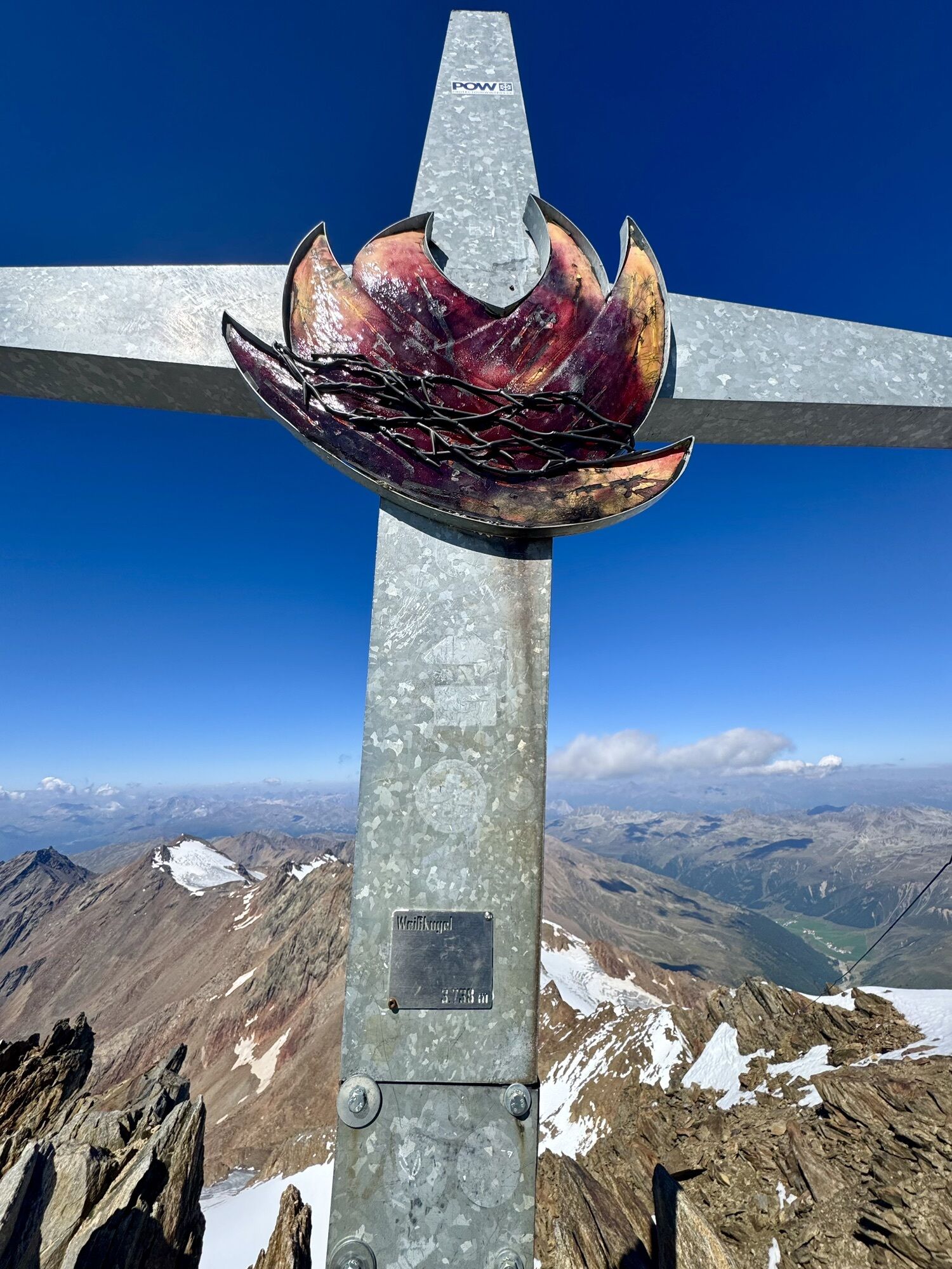
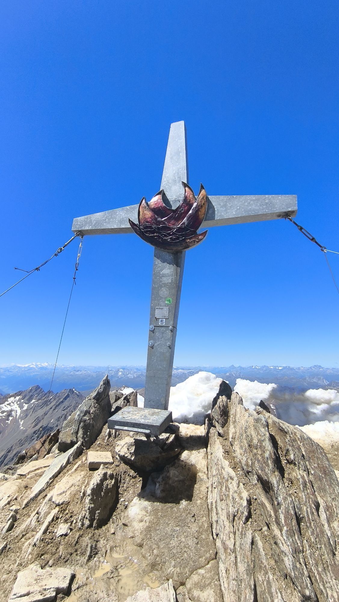
Weisskugel


From the Brandenburger House first in a south-westerly direction and later in the south to the Vernaglwand (point: 3,065 m). On partly insured walk down to the Langtaufernferner. Over this glacier-splendid...
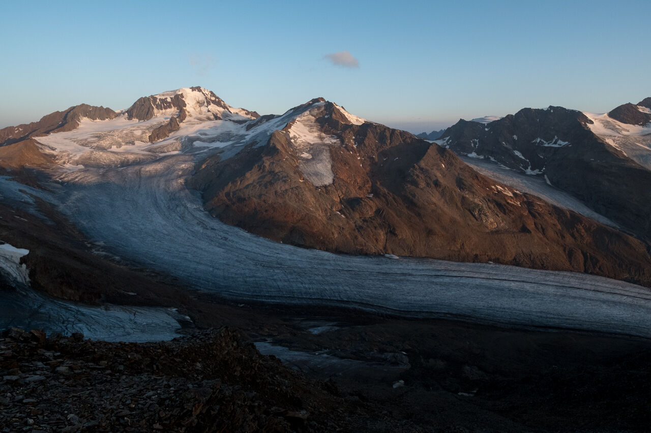
From the Brandenburger House first in a south-westerly direction and later in the south to the Vernaglwand (point: 3,065 m). On partly insured walk down to the Langtaufernferner. Over this glacier-splendid foothill to the Weißkugeljoch and from here steeply over the Felsgrat directly to the summit.Nice is the climb over the magnificent north ridge (sometimes by icing difficult).Easiest descent: over the Hintereisjoch and the Hintereisferner directly to the Hochjoch Hospiz in about 4 h.


From the Brandenburger House first in a south-westerly direction and later in the south to the Vernaglwand (point: 3,065 m). On partly insured walk down to the Langtaufernferner. Over this glacier-splendid foothill to the Weißkugeljoch and from here steeply over the Felsgrat directly to the summit.Nice is the climb over the magnificent north ridge (sometimes by icing difficult).Easiest descent: over the Hintereisjoch and the Hintereisferner directly to the Hochjoch Hospiz in about 4 h.
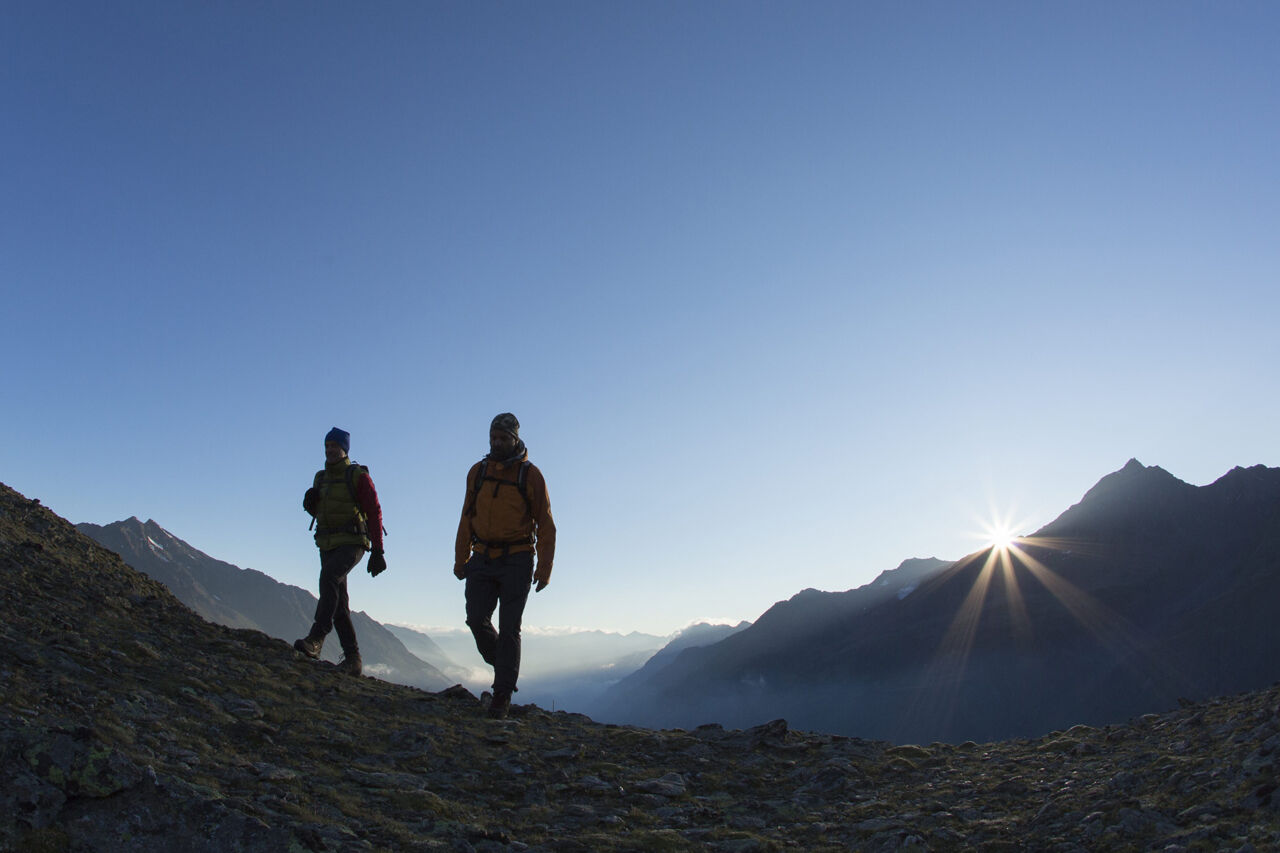
Appropriate equipment such as breathable suitable outdoor clothes for the weather, ankle-high walking boots, wind-, rain- & sun protection, hat, possibly gloves, is for all hikes and tours necessary. Please bring a first-aid box, a mobile phone, a walking map and if there is no hut on the way a snack and enough to drink.
For high alpine experienced mountaineers that are free from vertigo & surefooted. Excellent physical condition, extensive mountain experience, alpine climbing gear, safety- and orientation guide, good weather conditions recommended. Please pay attention to the current weather report: www.oetztal.com
The car drive to the Ötztal valley. Situated in Tirol, the Ötztal valley set off in southerly direction and is the longest side valley in the Eastern Alps. The journey with the car leads you through the Inntal valley to the entrance of the valley and further on through the valley. Among the toll motorways you can also use the country roads. A route planner will show you the easiest and most convenient way: https://www.google.at/maps
Enjoy a both comfortable and relaxing train ride to the train station in Ötztal Bahnhof. You get off the train in ÖTZTAL Bahnhof where you change to a public bus or local taxi. The current bus schedule can be found at: http://fahrplan.vvt.at
The following parking options are available in the mountaineering village Vent
- In summertime in front of the village (parking machine, only coins or EC card) and at the chairlift (at the ticket office of the mountain railways)
- In wintertime only at the chairlift
Cost: € 5,00 per day/car
More details about hiking In Ötztal: www.oetztal.com/wandern
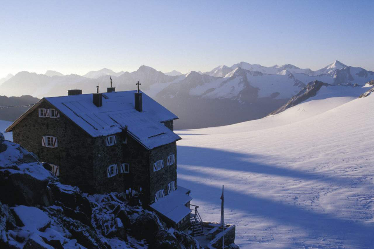
Reservation of the hut sleeping places necessary!
Parcours populaires à proximité
- 4,2
Rundweg Vernagter See plus Einkehr Finailhof
moyenRandonnée8,73 km - 4,0
Vernagt-Stausee (Seerundgang)
facileRandonnée6,70 km - 5,0
Kreuzspitze
difficileRandonnée11,6 km - 4,5
Vent - Wilder Mann - cabane Breslauer - Stableinalm
moyenRandonnée7,25 km - 5,0
De Vent au Similaun à 3 606 m
difficileRandonnée d'altitude29,2 km - 4,8
Vent - Martin Busch Hütte - Similaunhütte
moyenRandonnée13,7 km - 5,0
Vent - refuge Similaun - site de découverte d'Ötzi
moyenRandonnée14,9 km Breslauer Hütte - Wildspitze
difficileRandonnée d'altitude4,33 km- 5,0
Weißkugel 3738m - Kurzras über Schöne Aussicht zur Weißkugel
difficileRandonnée d'altitude14,7 km - 5,0
Similaun-Hütte
moyenRandonnée en montagne14 km
Randonnée et suivi


Ne manquez pas les offres et l'inspiration pour vos prochaines vacances
Votre adresse électronique a été ajouté à la liste de diffusion.