Planjava
moyen
Naviguer
Naviguer
Télécharge cette visite sur ton portable
Planjava
moyen
Randonnée
6,88
km
Scanner le code QR et commencer la navigation dans l'application bergfex

Randonnée & tracking


Planjava
moyen
Distance
6,88
km
Durée
03:25
h
Ascension
1.367
m
Altitude
1.018 -
2.345
m
Téléchargement de la piste
Planjava
moyen
Randonnée
6,88
km


Start: Dom planincev v Logarski dolini- hut on Klemenča jama– Škarje– Babe– Planjava. Descent to the hut Koča na Kamniškem sedlu– Okrešelj– Hut under the Rinka waterfall.
Return to the start on the main...
Description
Start: Dom planincev v Logarski dolini- hut on KlemenÄa jama– Škarje– Babe– Planjava. Descent to the hut KoÄa na Kamniškem sedlu– Okrešelj– Hut under the Rinka waterfall.
Return to the start on the main road
Parcours
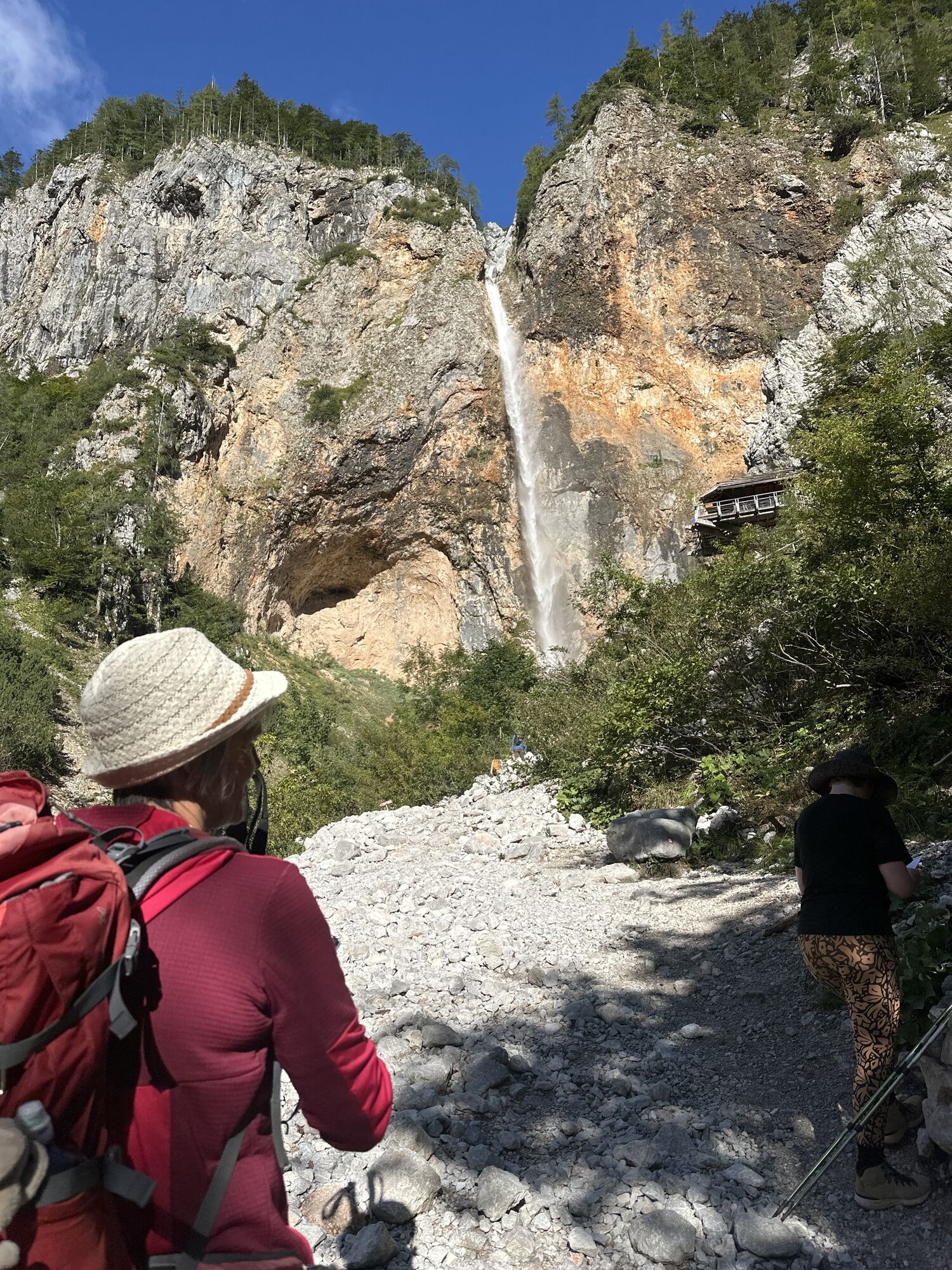
Rinka
(1.198 m)
Chute d'eau
1,0 km
Waterfall Rinka
(1.123 m)
Chute d'eau
1,0 km
Kamniška koča na Kamniškem sedlu
(1.866 m)
Refuge
4,4 km
Planjava - Zahodni vrh
(2.394 m)
Sommet
6,8 km
Parcours
Planjava
moyen
Randonnée
6,88
km
Orlovo gnezdo
(1.113 m)
Restaurant
0,6 km
Rinka
(1.198 m)
Chute d'eau
1,0 km
Waterfall Rinka
(1.123 m)
Chute d'eau
1,0 km
Izvir Savinje
(1.298 m)
Source
1,3 km
Frischaufov dom na Okrešlju
(1.396 m)
Refuge
1,7 km
Kamniška koča na Kamniškem sedlu
(1.866 m)
Refuge
4,4 km
Kamniško sedlo
(1.870 m)
Selle de montagne
4,5 km
Planjava - Zahodni vrh
(2.394 m)
Sommet
6,8 km

Dernier suivi
il y a 4 semaines
Informations sur l'itinéraire
Tour des sommets
Oui
Consignes de sécurité
High mountains
Informations sur l'arrivée
Arrivée
Mozirje-Nazarje-SolÄava- Logarska dolina
Transports en commun
You can reach Logarska dolina valley with a local bus from Mozirje-SolÄava
Parking
Available
Évaluations
5
(0)
4
(1)
3
(0)
2
(0)
1
(0)
Parcours populaires à proximité
- 4,5
Vom Seebergsattel auf den Kärntner Storschitz (Rundweg)
difficileRandonnée8,30 km - 4,9
Koschlak Klettersteig BC, D
moyenVia ferrata2,60 km - 4,8
Bad Eisenkappel: Hochobir-Tour
difficileVTT39,6 km - 5,0
Kärntner Storschitz
moyenRandonnée en montagne7,71 km - 4,5
Türkenkopf Klettersteig D/E, Eisenkappel
difficileVia ferrata1,60 km - 4,0
Krainersteig - Kärntner Storschitz
moyenRandonnée2,70 km - 4,1
Felsentore, St. Leonhard, Kupitzklamm
difficileRandonnée15 km 3 Tage in den Steiner Alpen
difficileRandonnée14,4 km- 4,6
Logarska dolina sa Minom, Borkom i Žakom
facileRandonnée9,59 km - 5,0
Karawanken - Govca 1.929m - Uschowa Felsentore als Hike and Bike
moyenRandonnée en montagne15,5 km
Randonnée et suivi

Plus de 550.000 propositions de circuits, des cartes détaillées et un planificateur d'itinéraire intuitif font de cette application un must pour tous les passionnés de nature.

Ne manquez pas les offres et l'inspiration pour vos prochaines vacances
S'inscrire à la newsletter
Erreur
Une erreur s'est produite. Veuillez réessayer.Merci pour votre inscription
Votre adresse électronique a été ajouté à la liste de diffusion.
Parcours en Europe
Autriche Suisse Allemagne Italie Slovénie France Pays-Bas Belgique Pologne Liechtenstein République tchèque Slovaquie Espagne Croatie Bosnie-Herzégovine Luxembourg Andorre Portugal Islande Royaume-Uni Irlande Grèce Albanie Macédoine du Nord Malte Norvège Monténégro Moldavie Kosovo Hongrie Saint-Marin Roumanie Estonie Lettonie Bélarus Chypre Lituanie Serbie Bulgarie Monaco Danemark Suède Finlande