


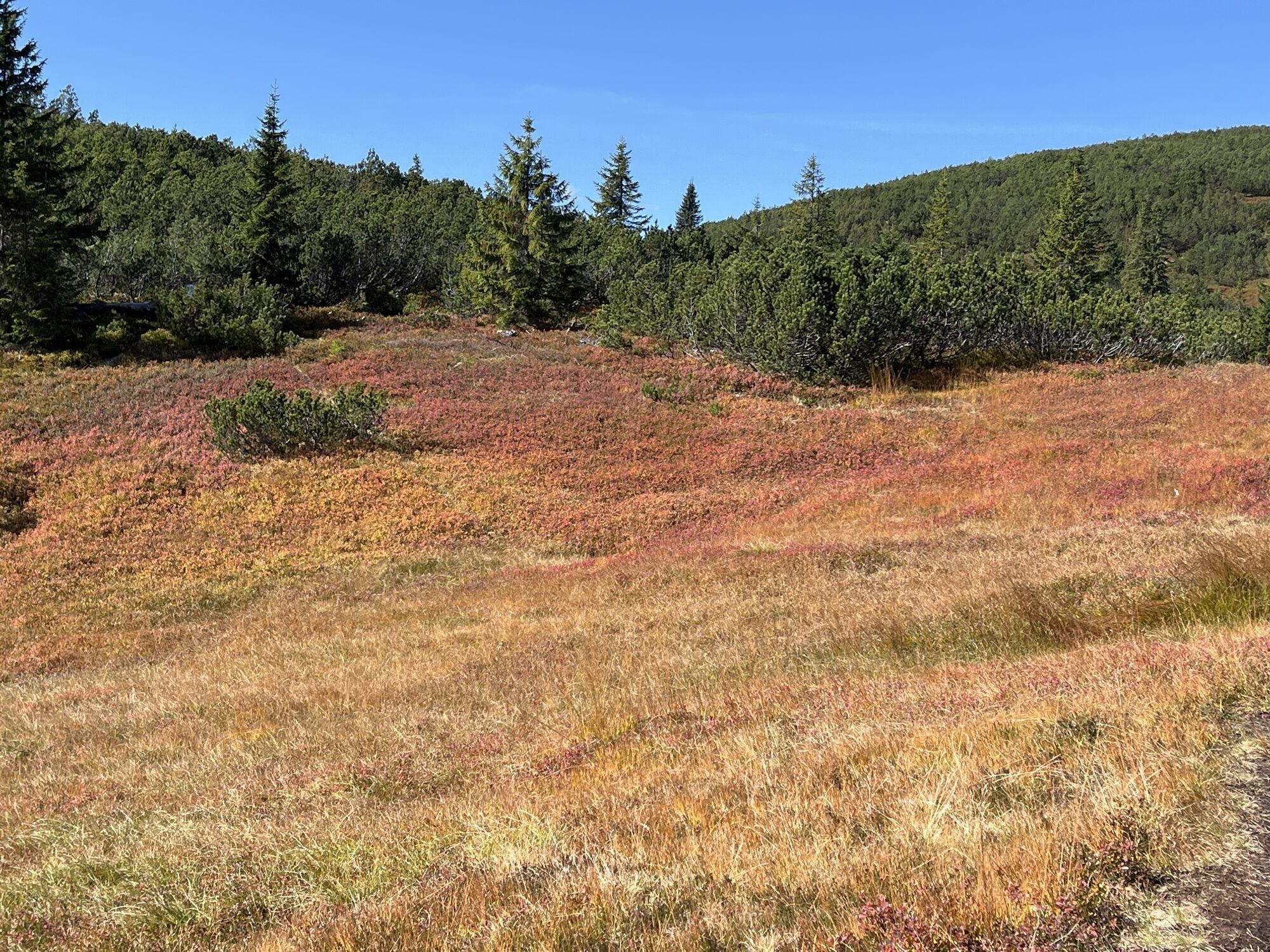
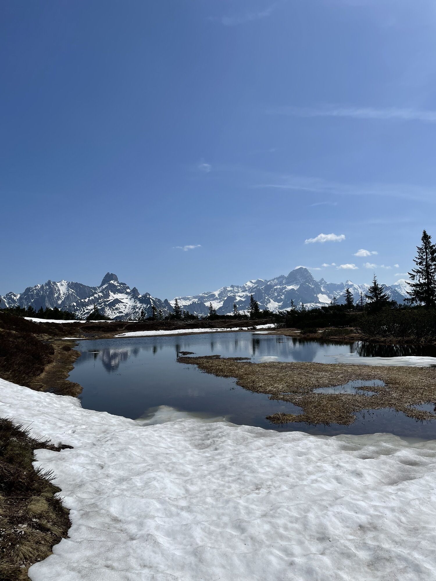
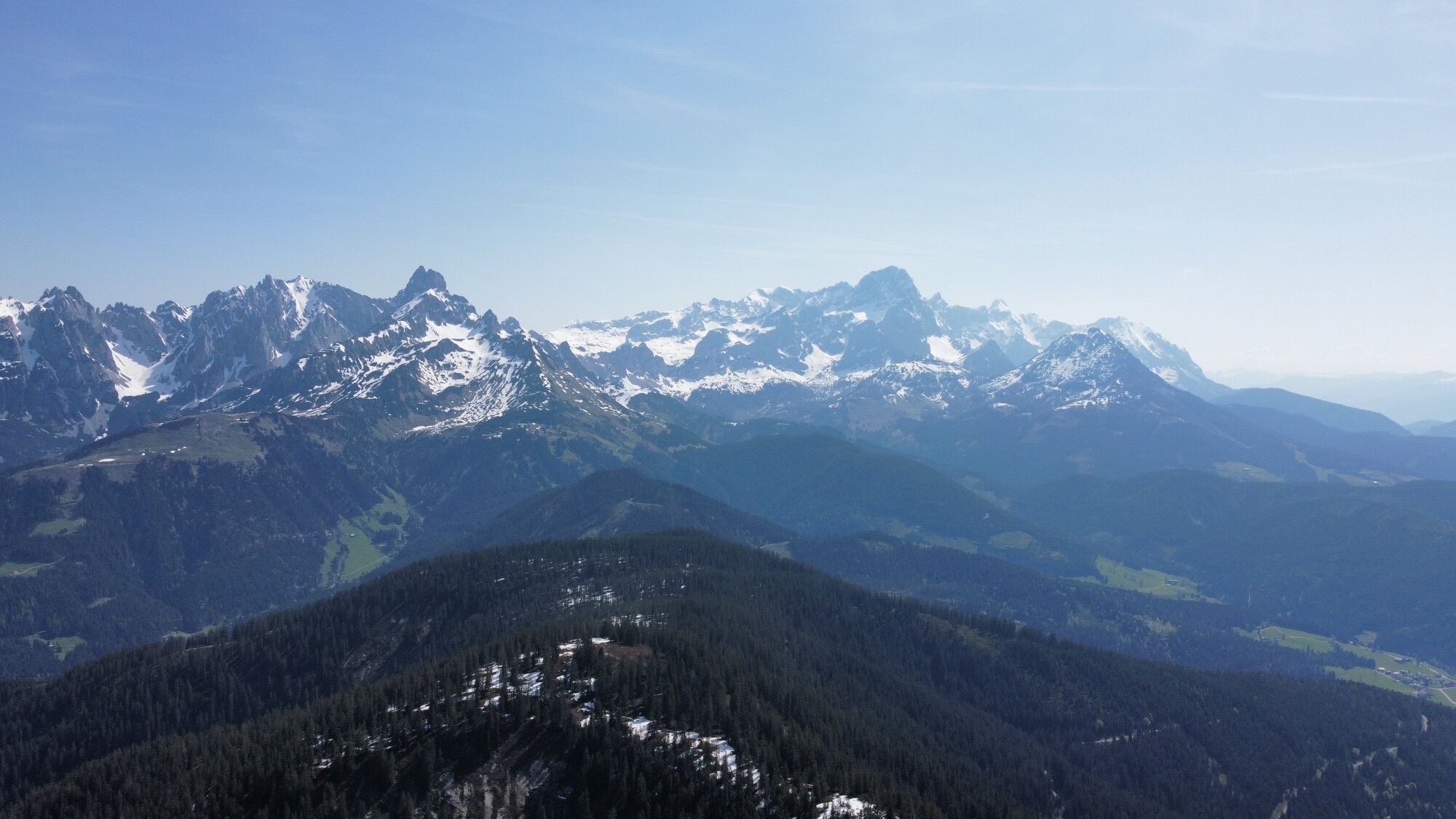
Gerzkopf with Black Lake


Photos de nos utilisateurs

 © Maximilian StögerCréé le 22.05.2023
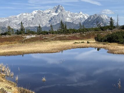
 © Roland SteinfadtCréé le 06.10.2022
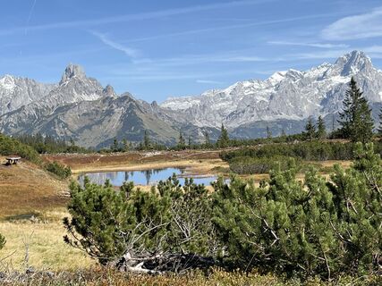 © Roland SteinfadtCréé le 06.10.2022
 © Roland SteinfadtCréé le 06.10.2022
 © Roland SteinfadtCréé le 06.10.2022
 © Maximilian StögerCréé le 22.05.2023
 © Maximilian StögerCréé le 22.05.2023
 © Maximilian StögerCréé le 22.05.2023
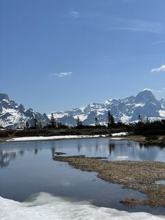 © Maximilian StögerCréé le 22.05.2023
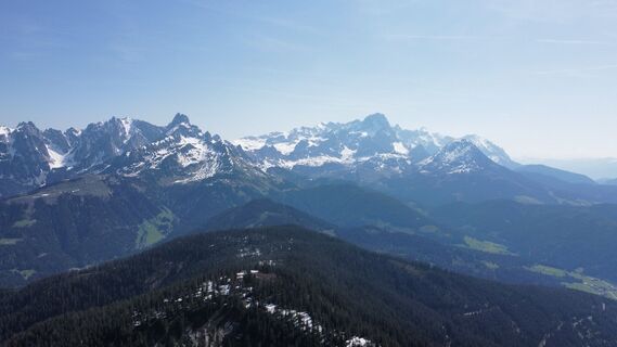 © Maximilian StögerCréé le 22.05.2023
 © Maximilian StögerCréé le 22.05.2023
 © Maximilian StögerCréé le 22.05.2023
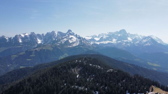 © Maximilian StögerCréé le 22.05.2023
 © Maximilian StögerCréé le 22.05.2023
 © Maximilian StögerCréé le 22.05.2023
 © Maximilian StögerCréé le 22.05.2023
 © Maximilian StögerCréé le 22.05.2023
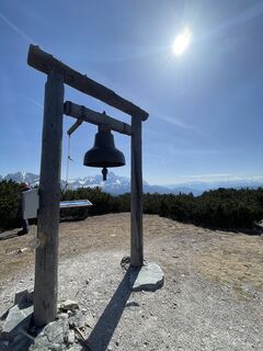 © Maximilian StögerCréé le 22.05.2023
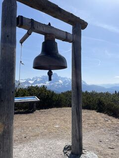 © Maximilian StögerCréé le 22.05.2023
 © Roland SteinfadtCréé le 06.10.2022


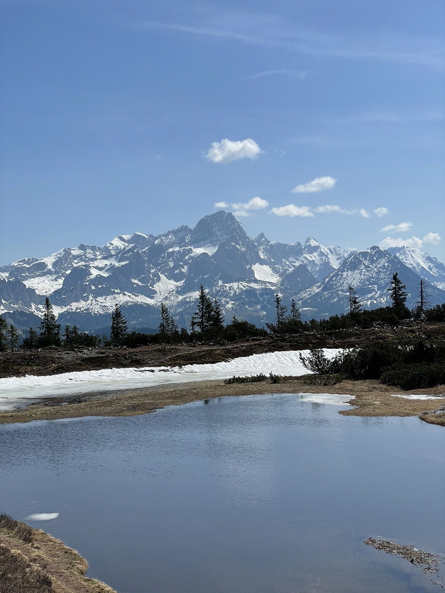


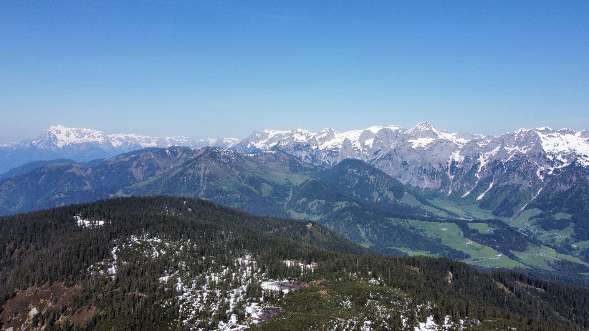
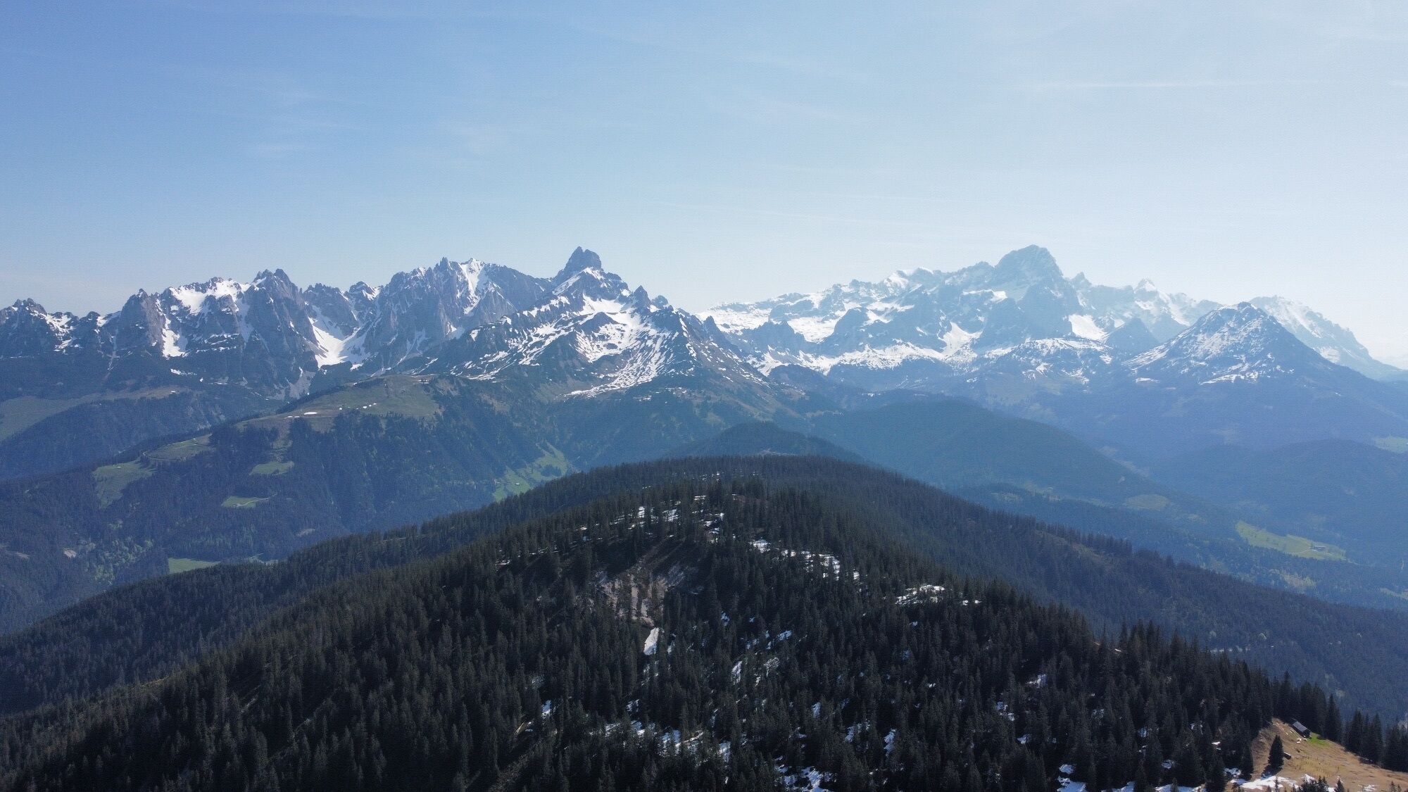

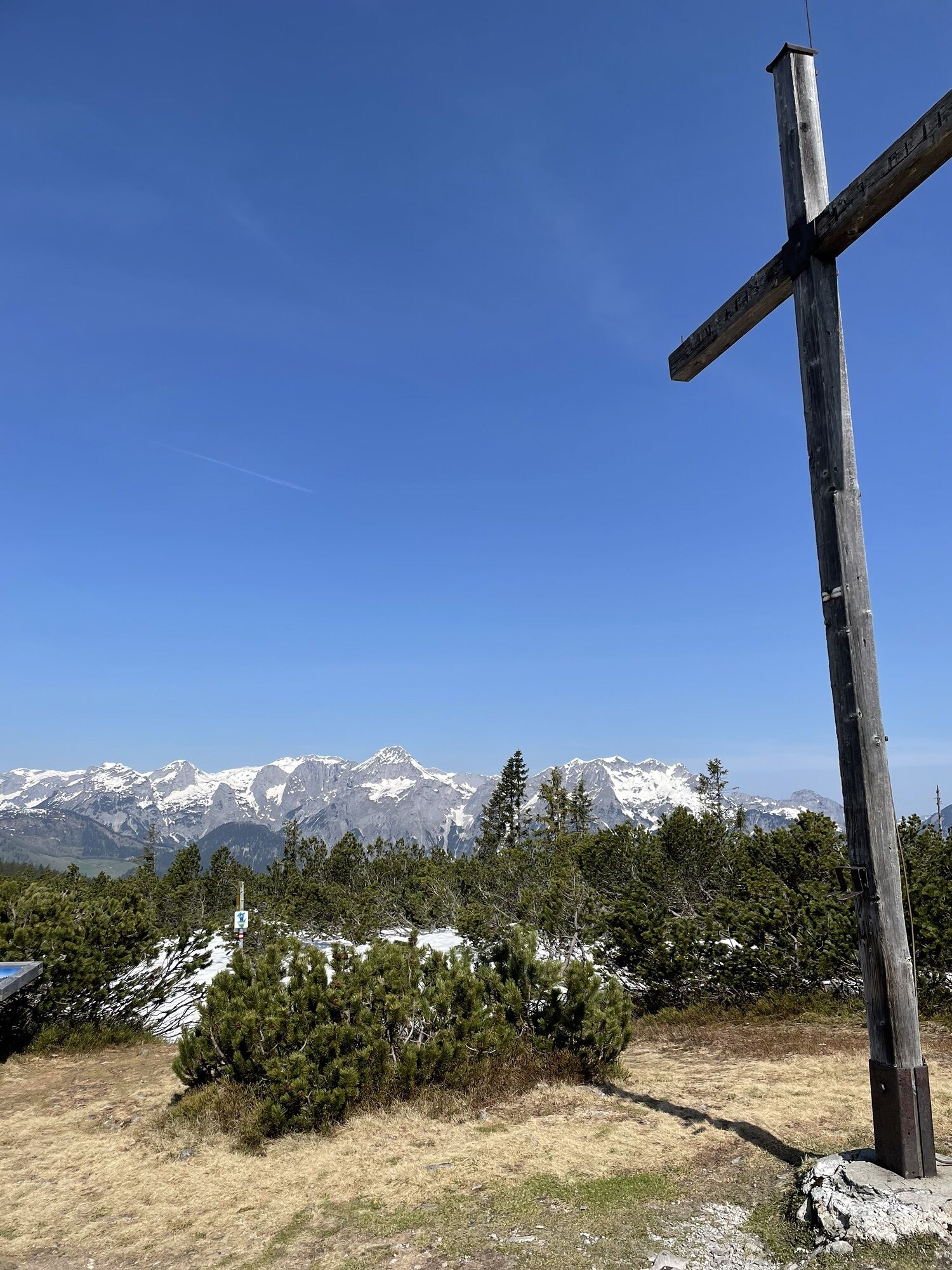


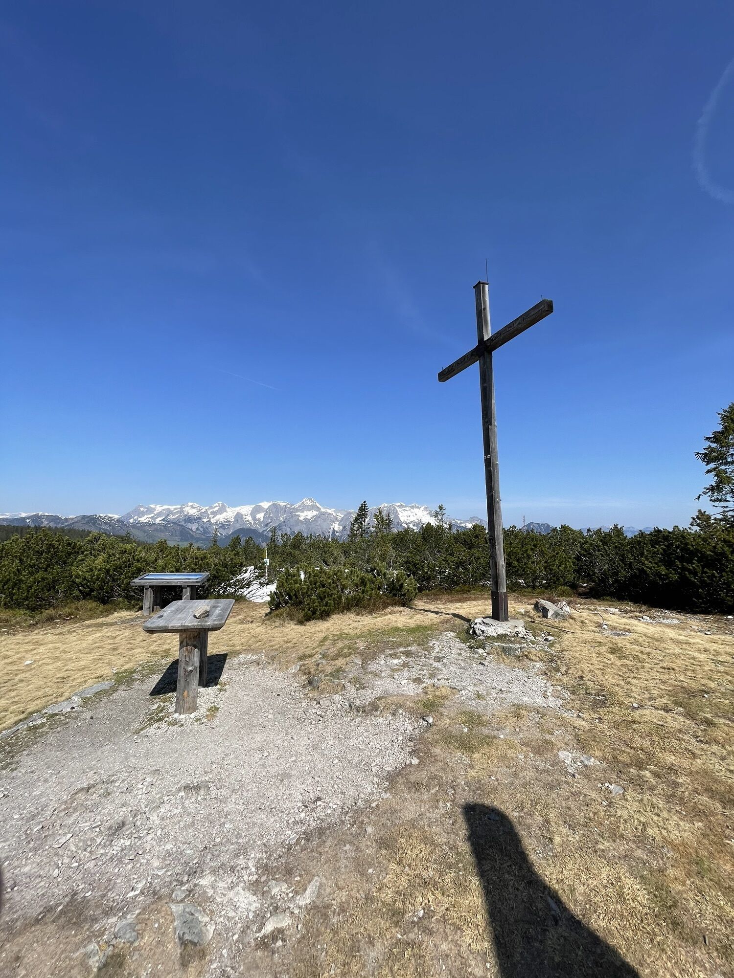


A protected gem of local nature that rewards hikers who reach the summit with a great panoramic view.

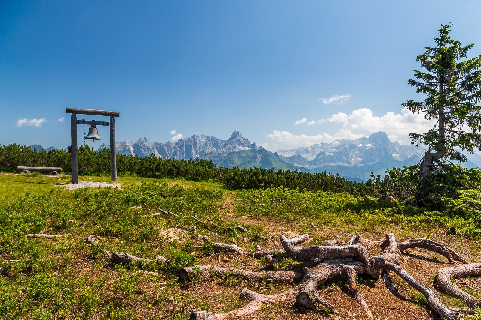
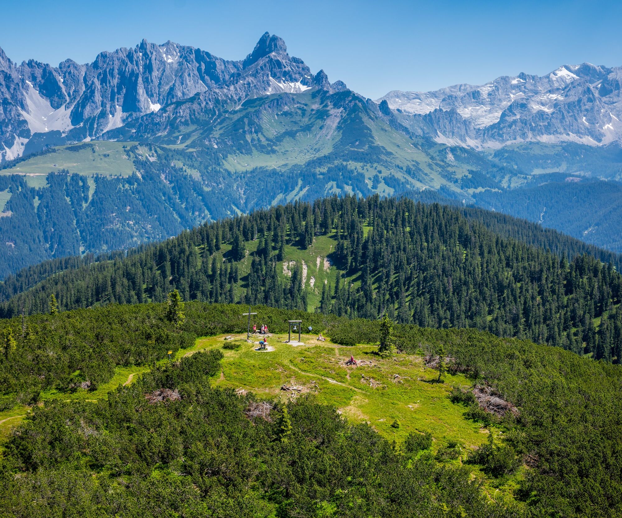
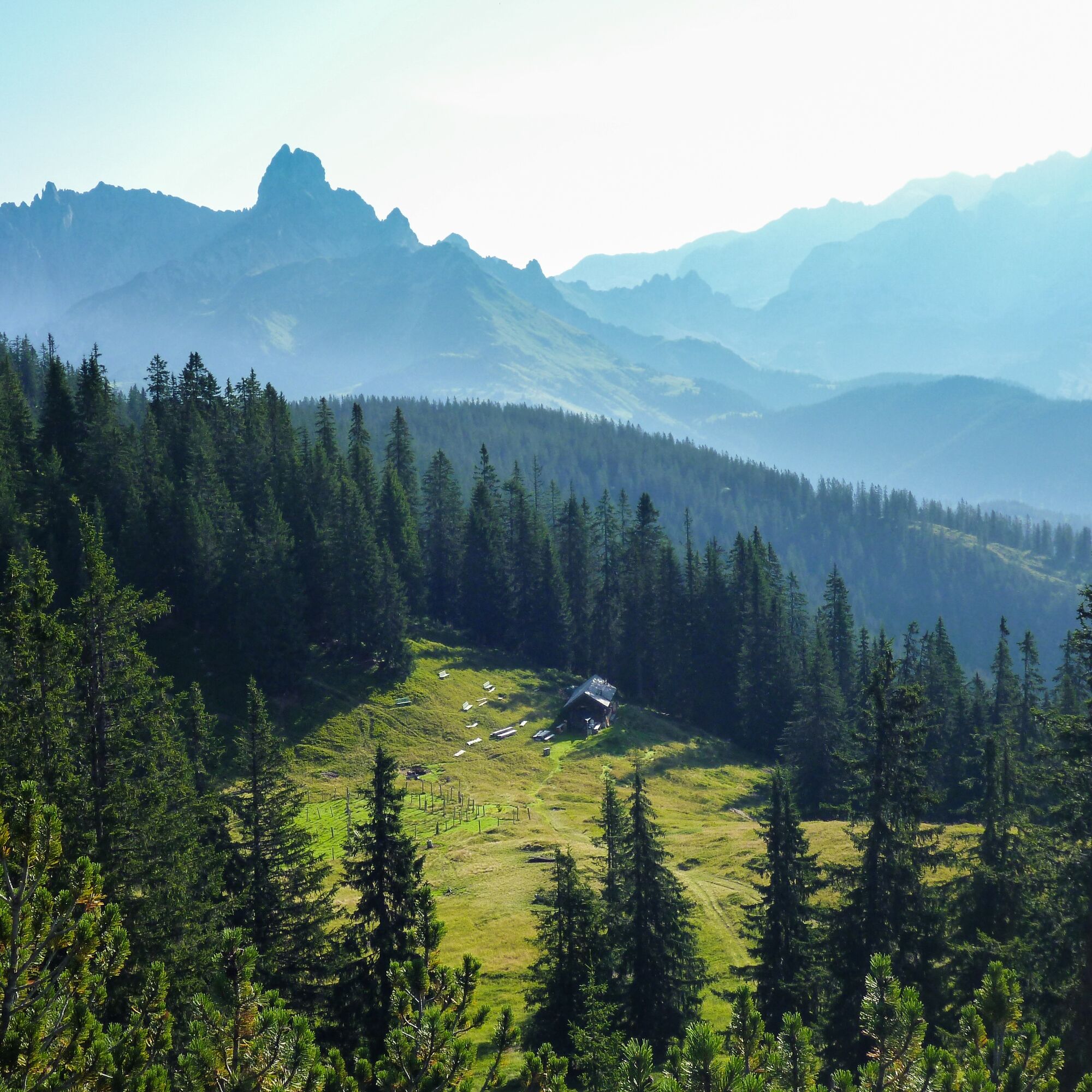
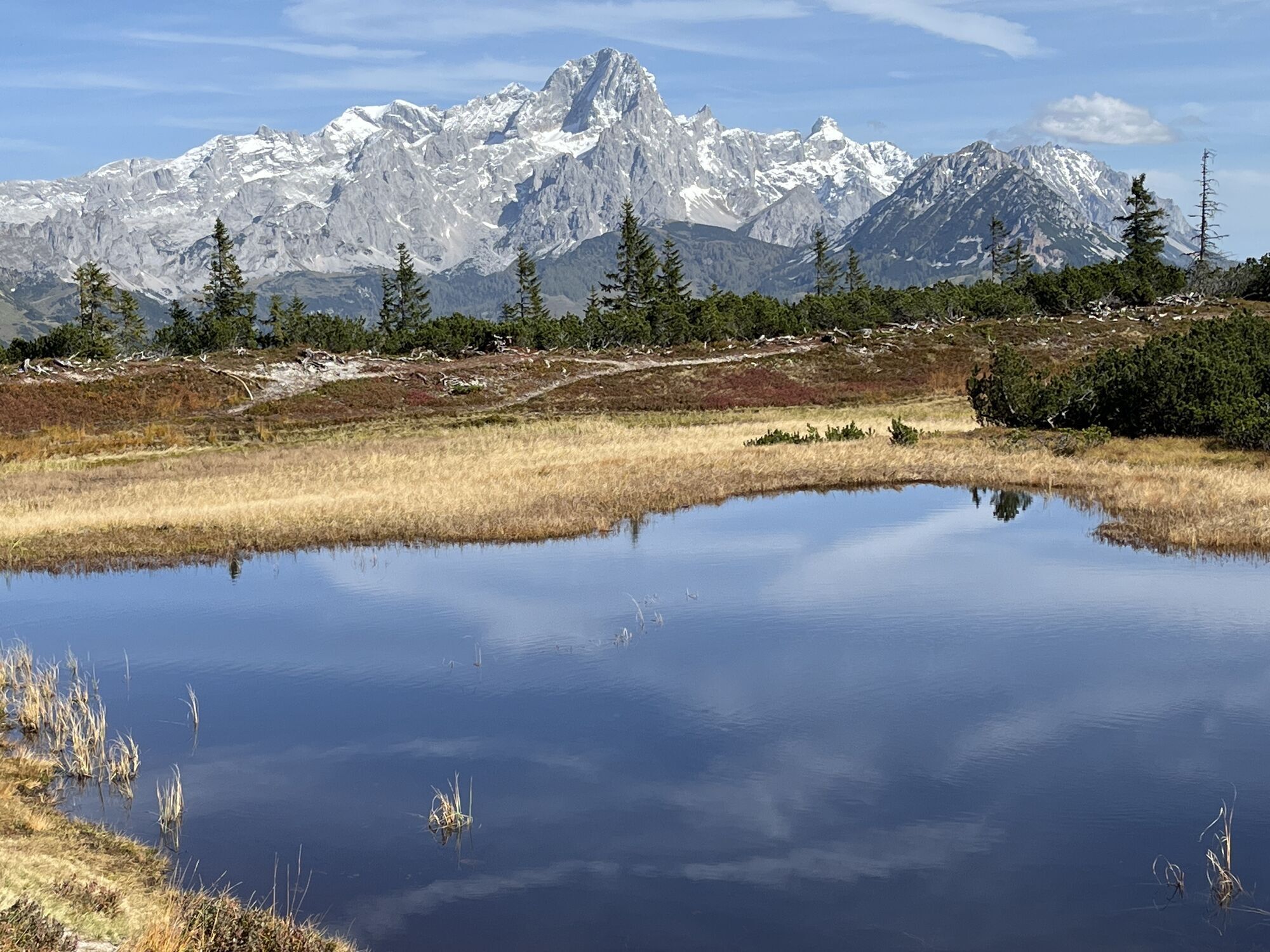
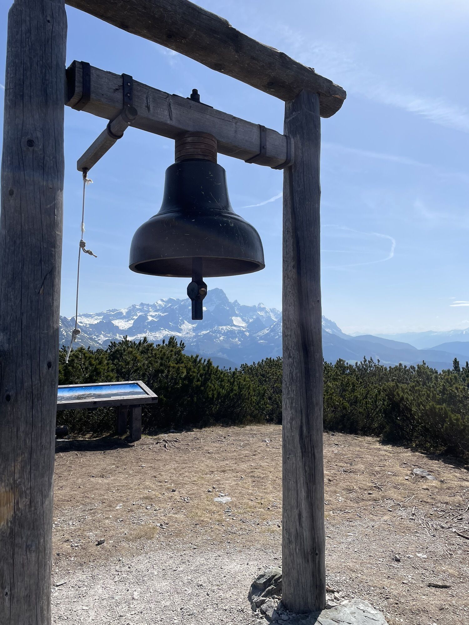
The tour starts at the Knappbauern in Eben, where you can also park. After two switchbacks on a forest road, turn left onto hiking trail no.15. Via this path, which leads through the shady high forest, you will soon reach the ridge height. On the apex of this ridge it goes on a slight incline to the tree line. In between there are always wonderful views of the Dachstein and Bischofsmütze, which invite you to rest for a moment. At the beginning of the mountain pines you will reach a fork in the road. The Schäferhütte is located at the bottom right, but you cross a short but steep mountain pine belt on the left to the idyllic and "legendary" Schwarzen Lacke. You are already in the middle of the nature reserve when the summit of the Gerzkopf (1,728m) comes within sight. After a total of two hours of walking, you can ring the bell on the summit and enjoy the wonderful panorama. On the descent there is the opportunity to stop for a snack from the friendly dairymaid of the Schäferhütte. Strengthened and full of unforgettable impressions, it goes from there back to the Knappbauern.
Oui
In our hiking test center in Radstadt you can rent and test hiking shoes, hiking sticks, backpacks and child carriers. With the guest card, the first day is free.
On the road from Eben to Filzmoos at the Schattaugut bus stop, turn left into the Schattbachtal. At the end the Knappbauer is on a hill on the right. (Schattbachwinkel 35, 5531 Eben im Pongau)
parking space at Knappbauer
This is one of the most beautiful hiking tours around Radstadt. The brochure can be obtained from the Radstadt tourist office.
Parcours populaires à proximité
- 4,7
Tour around the Gosaukamm
moyenRandonnée20,9 km - 4,3
Filzmoos: Rötelstein (Rettenstein)
Randonnée9,50 km - 4,6
Donnerkogel vom Gosausee mit Intersport Klettersteig C/D und Himmelsleiter
difficileVia ferrata7,70 km - 4,7
Vorderer u. hinterer Gosausee
moyenRandonnée15,0 km - 4,7
Parcours de ski Lackenkogel
moyenSki de randonnée7,82 km - 4,2
Jungfrauensteig Rundtour
moyenRandonnée7,63 km - 4,7
GOSAU | Gosauseen
facileRandonnée14,6 km - 5,0
Forstau - Rippetegg / Reiteralm
moyenRandonnée13,9 km - 4,2
Hornspitz von Russbach
moyenSki de randonnée6,93 km - 4,5
Wengerau - Tauernkogel - Eiskogel - Napf - Wengerau
moyenRandonnée d'altitude15,5 km
Randonnée et suivi


Ne manquez pas les offres et l'inspiration pour vos prochaines vacances
Votre adresse électronique a été ajouté à la liste de diffusion.