


LE 04 | Grießner Almen - Runde


On the cycle path, it is for the most part an easy uphill journey to Hochfilzen. There is a short section on the main road to cover before you head onto the forest road. The ascent to the Grießner Almen...
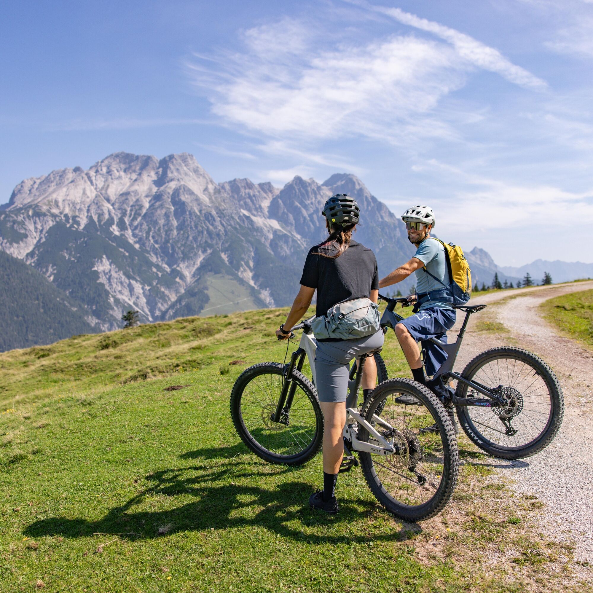
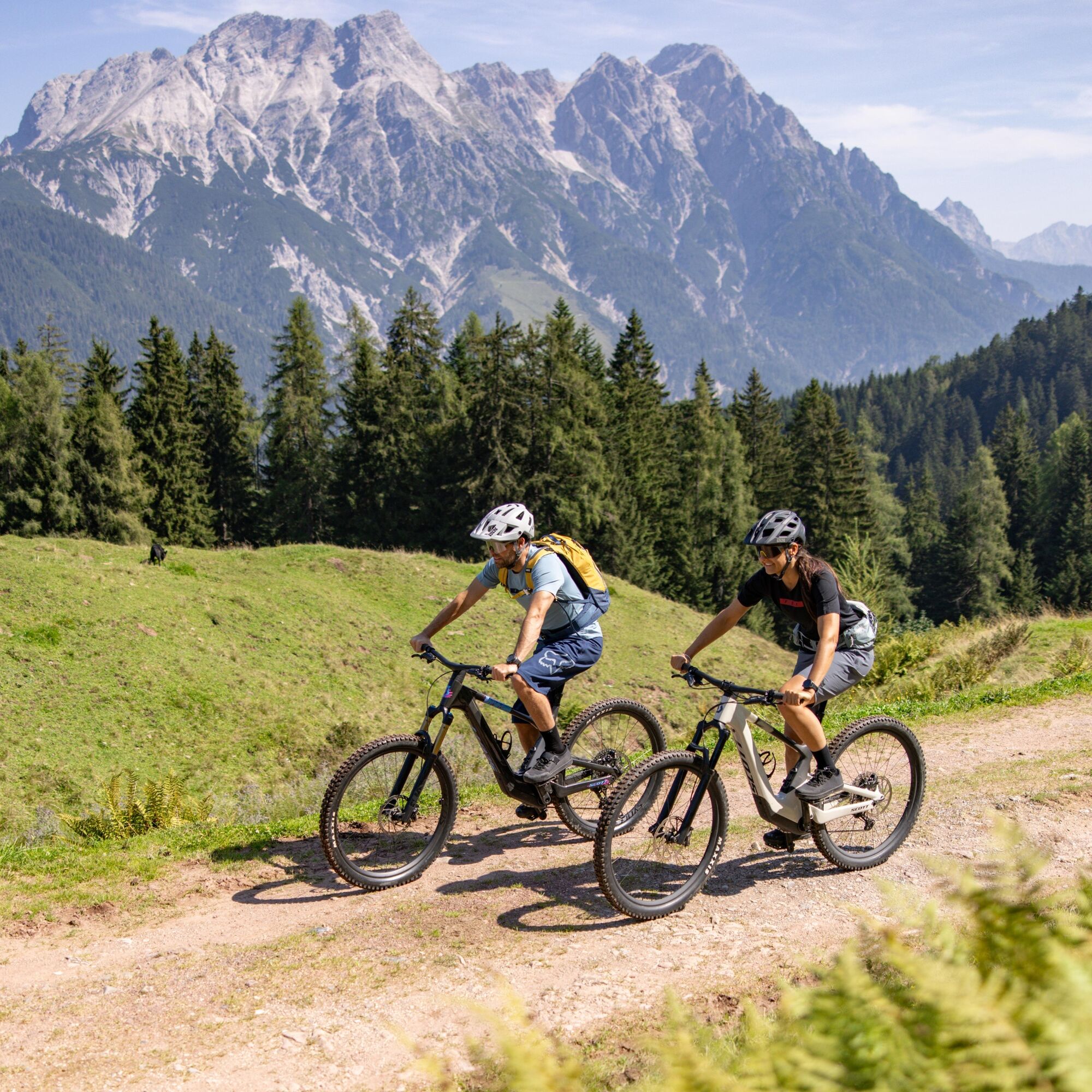
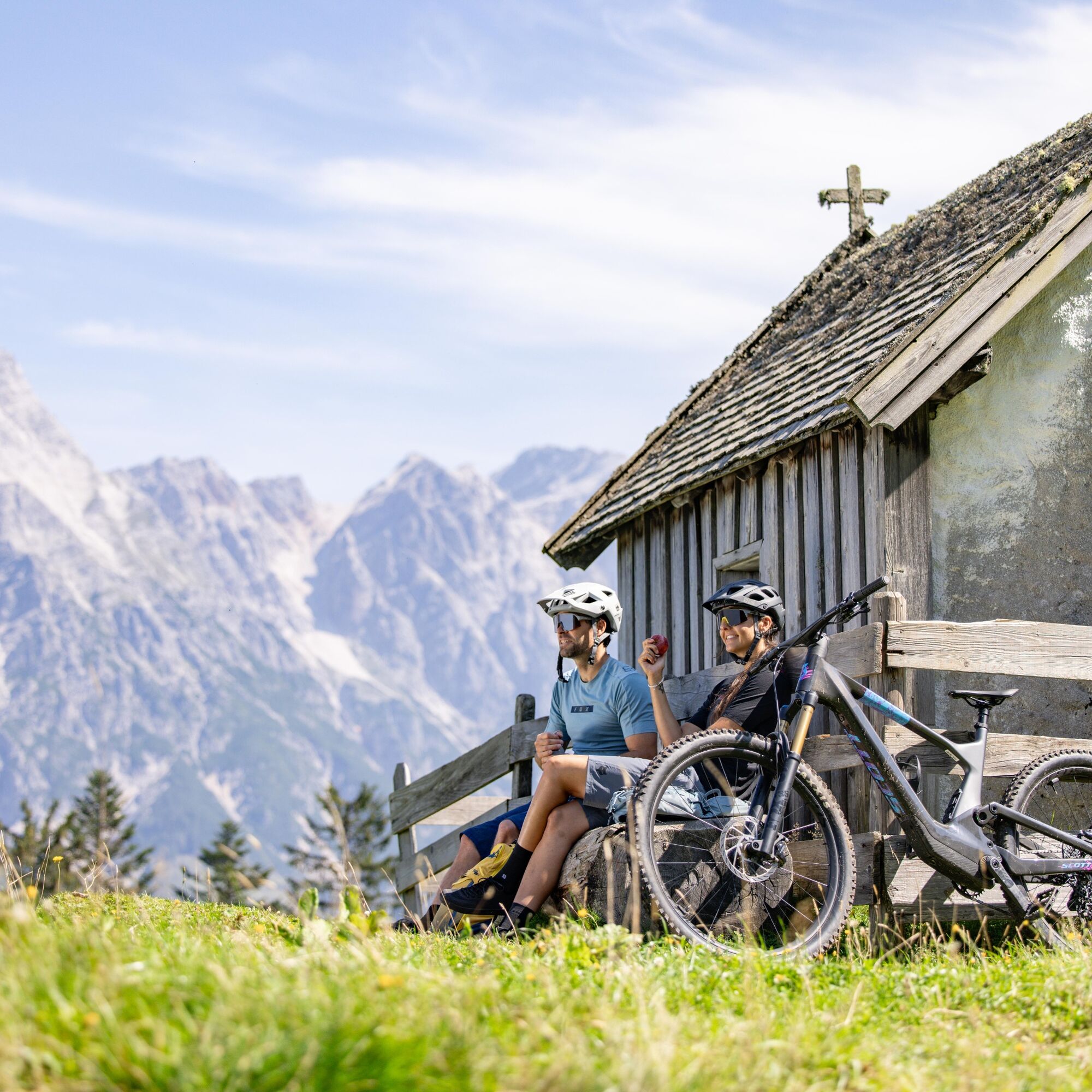
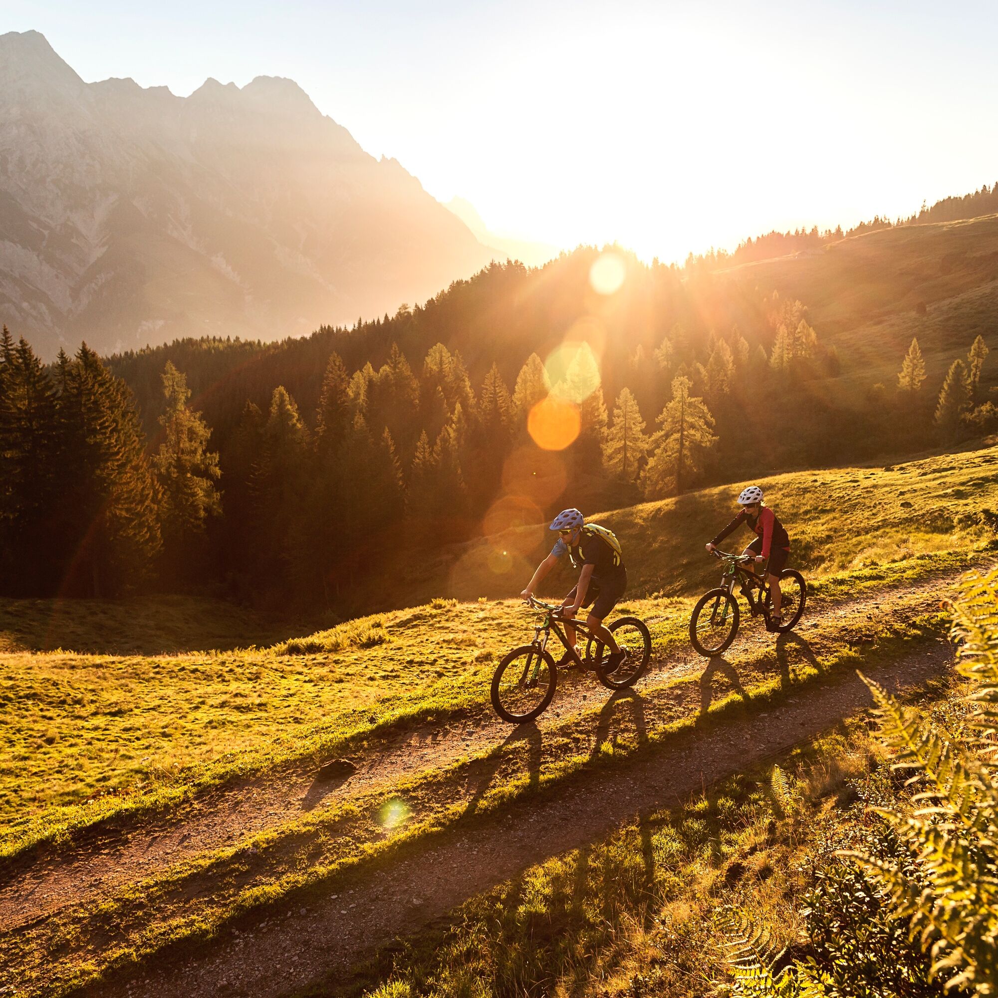
On the cycle path, it is for the most part an easy uphill journey to Hochfilzen. There is a short section on the main road to cover before you head onto the forest road. The ascent to the Grießner Almen is a very pleasant climb. After a short descent there is a brief uphill section again. Then follows a longer descent to Feistenau. Enjoy great panoramic views of the surrounding mountain ranges – Wilder Kaiser, Leoganger Steinberge and the Kitzbüheler Horn. Having arrived in Hochfilzen, we then head back to Leogang.

On the cycle path, it is for the most part an easy uphill journey to Hochfilzen. There is a short section on the main road to cover before you head into the terrain. The ascent to the Grießner Almen features a very pleasant climb. After a short descent there is a brief uphill section again. Then follows a longer descent to Feistenau. The panoramic view of this tour imparts all the facets of the mountains in the Alps - Wilder Kaiser, Leoganger Steinberge and the Kitzbüheler Horn. Having arrived in Hochfilzen, we then head back to Leogang.
Take the train and start to enjoy your vacation as soon as you leave home. Relax and enjoy the view as you travel to Saalfelden Leogang with no traffic to slow you down. Visit the website of the Austrian railway (ÖBB) for schedules and tickets to Leogang station: www.oebb.at (route to the starting point approx. 10 minutes)
Webcams de la tournée
Asitz Gipfel
Berghotel Seidl-Alm
Asitz Mittelstation
Hochfilzen - Ferienwohnungen Schreder
Asitz Bergstation
Asitz Talstation
Reckmoos
Fieberbrunn - Buchensteinwand in Tirol
Leogang
Großer Asitz / Gipfelkreuz
Lärchfilzkogel
Talstation Asitzbahn
Saalbach-Hinterglemm - Kohlmais
Kohlmaiskopf
Leogang - Grosser Asitz
Fieberbrunn Talstation Streuböden
Fieberbrunn - Streuböden Bergstation
Pillersee - Jakobskreuz
Talstation Pillersee
Reckmoos
Fairhotel Hochfilzen
Parcours populaires à proximité
- 4,5
Birnbachloch Leogang, Österreich
moyenRandonnée5,18 km - 4,1
Passauer Hütte
difficileRandonnée4,14 km - 4,4
Birnbachloch
moyenRandonnée6,40 km - 5,0
Leoganger SÜD
difficileVia ferrata4,08 km - 4,2
Spielbergalmen
moyenRandonnée10 km - 5,0
Manlitzkogel
difficileRandonnée13,4 km - 4,1
De Pürzlbach au Seehorn (2322 m)
moyenRandonnée15,8 km - 4,5
Lettlkaser
moyenRandonnée4,40 km - 4,5
Seisenbergklamm
facileRandonnée2,41 km - 4,9
Loferer Steinberge, zum Hinterhorn über die Schmid-Zabierow Hütte, 19.06.22
difficileRandonnée14,0 km
Randonnée et suivi


Ne manquez pas les offres et l'inspiration pour vos prochaines vacances
Votre adresse électronique a été ajouté à la liste de diffusion.