


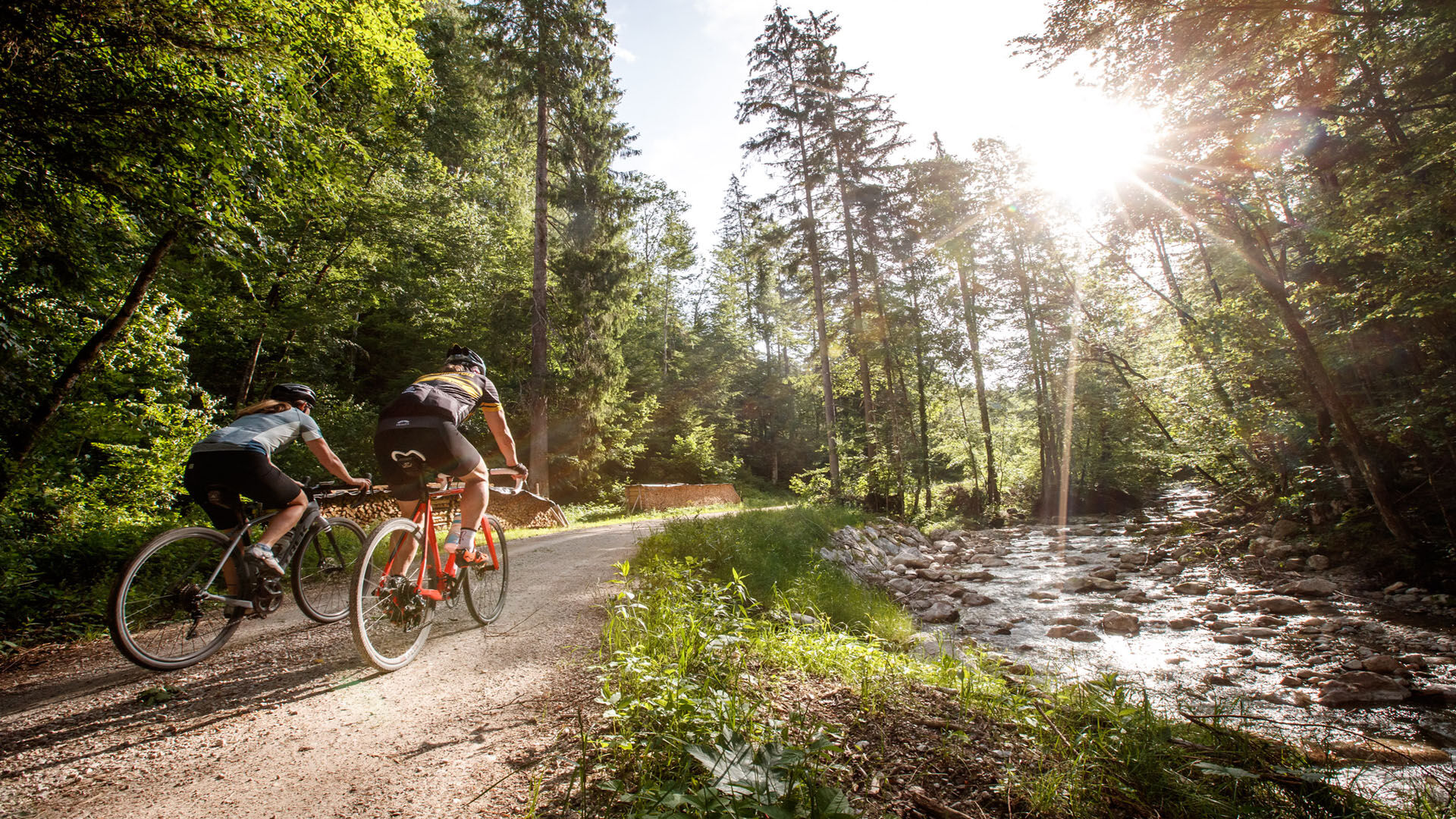
Gravel bike tour around the Sarstein


Photos de nos utilisateurs
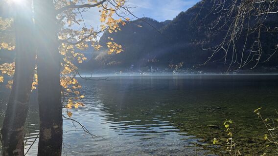
 © Robert8992Créé le 29.10.2025
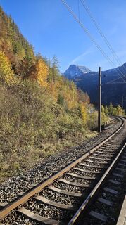 © Robert8992Créé le 29.10.2025
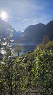 © Robert8992Créé le 29.10.2025
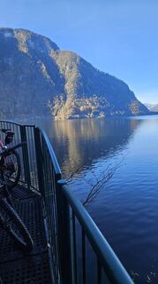 © Robert8992Créé le 29.10.2025
 © Robert8992Créé le 29.10.2025
 © Robert8992Créé le 29.10.2025
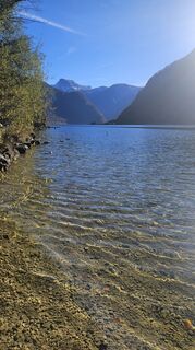 © Robert8992Créé le 29.10.2025
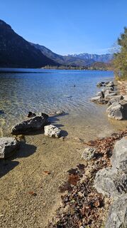 © Robert8992Créé le 29.10.2025
 © Michael M.Créé le 12.10.2025
 © Michael M.Créé le 12.10.2025
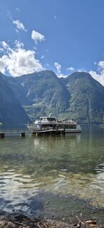
 © Hari SchrittwieserCréé le 11.09.2025
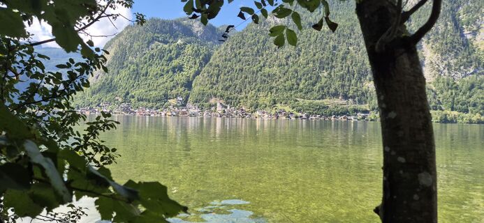 © Hari SchrittwieserCréé le 11.09.2025
 © Petra silbersbergerCréé le 14.08.2025
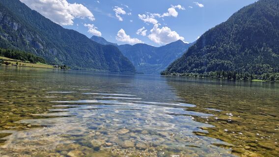
 © Utassy Tóth JohannaCréé le 20.07.2025
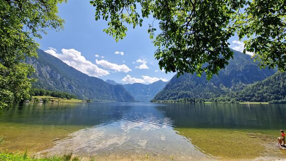 © Utassy Tóth JohannaCréé le 20.07.2025
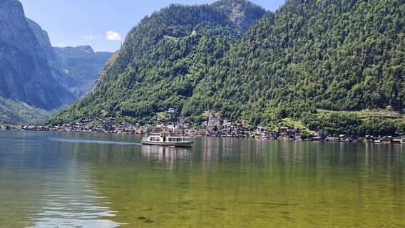 © Utassy Tóth JohannaCréé le 20.07.2025
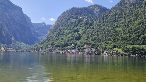 © Utassy Tóth JohannaCréé le 20.07.2025
 © Petr Kučera 4Créé le 14.07.2025
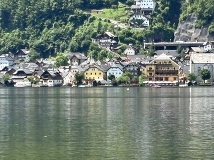
 © Christiane NoebauerCréé le 13.07.2025
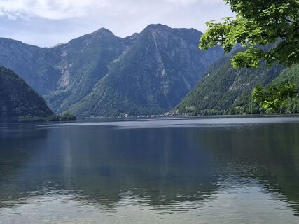 © gatholaCréé le 04.06.2025
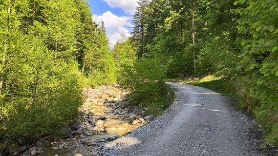 © WilliStCréé le 11.05.2025
 © WilliStCréé le 11.05.2025
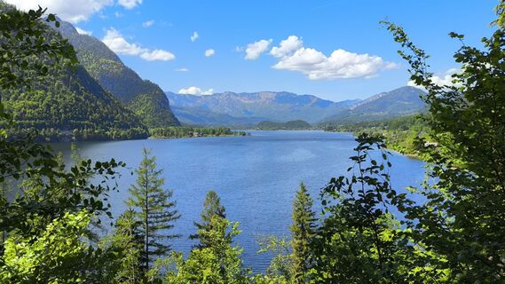 © WilliStCréé le 11.05.2025
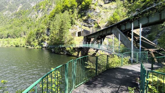 © WilliStCréé le 11.05.2025
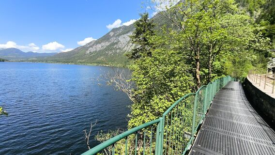 © WilliStCréé le 11.05.2025
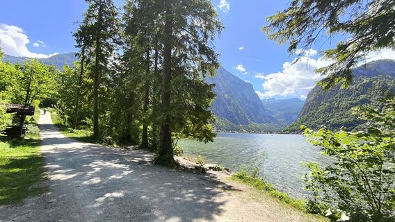 © WilliStCréé le 11.05.2025
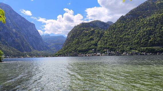 © WilliStCréé le 11.05.2025
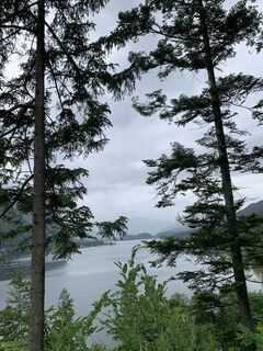
 © Michael KoglerCréé le 30.05.2024
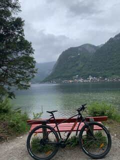 © Michael KoglerCréé le 30.05.2024
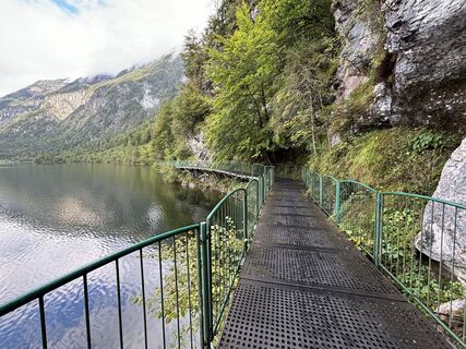
 © Andy CagranoCréé le 10.09.2024
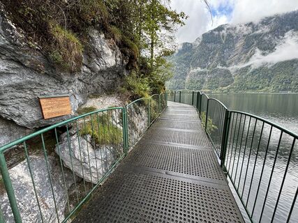 © Andy CagranoCréé le 10.09.2024
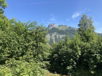
 © StefanSchmidtCréé le 09.08.2021
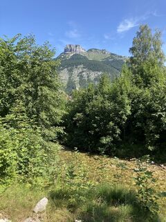 © StefanSchmidtCréé le 09.08.2021
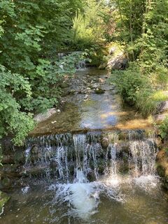 © StefanSchmidtCréé le 09.08.2021
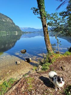
 © Gerhard Hofer 4Créé le 08.08.2025
 © Gerhard Hofer 4Créé le 08.08.2025
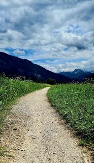
 © Petra ScherrerCréé le 18.07.2025
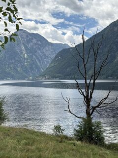
 © Barbara DolivierCréé le 28.06.2025
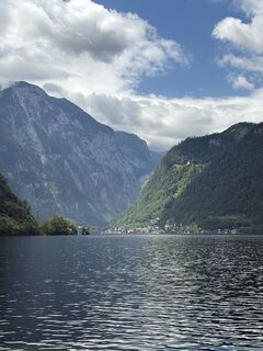 © Barbara DolivierCréé le 28.06.2025
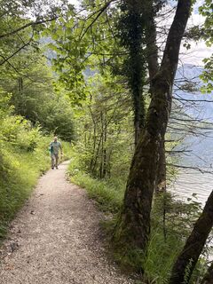 © Barbara DolivierCréé le 28.06.2025
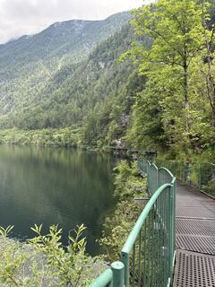 © Barbara DolivierCréé le 28.06.2025
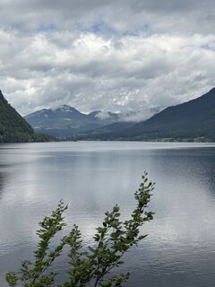 © Barbara DolivierCréé le 28.06.2025
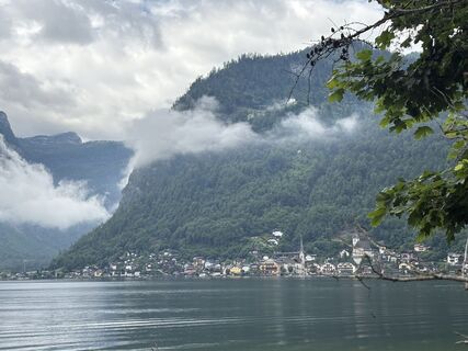 © Barbara DolivierCréé le 28.06.2025
 © Barbara DolivierCréé le 28.06.2025
 © Barbara DolivierCréé le 28.06.2025
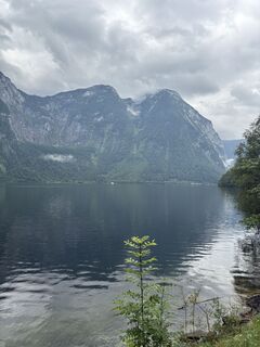 © Barbara DolivierCréé le 28.06.2025
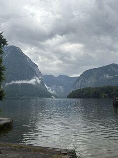 © Barbara DolivierCréé le 28.06.2025
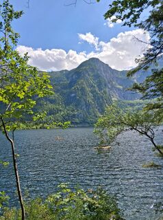
 © Enkidu55Créé le 31.05.2025
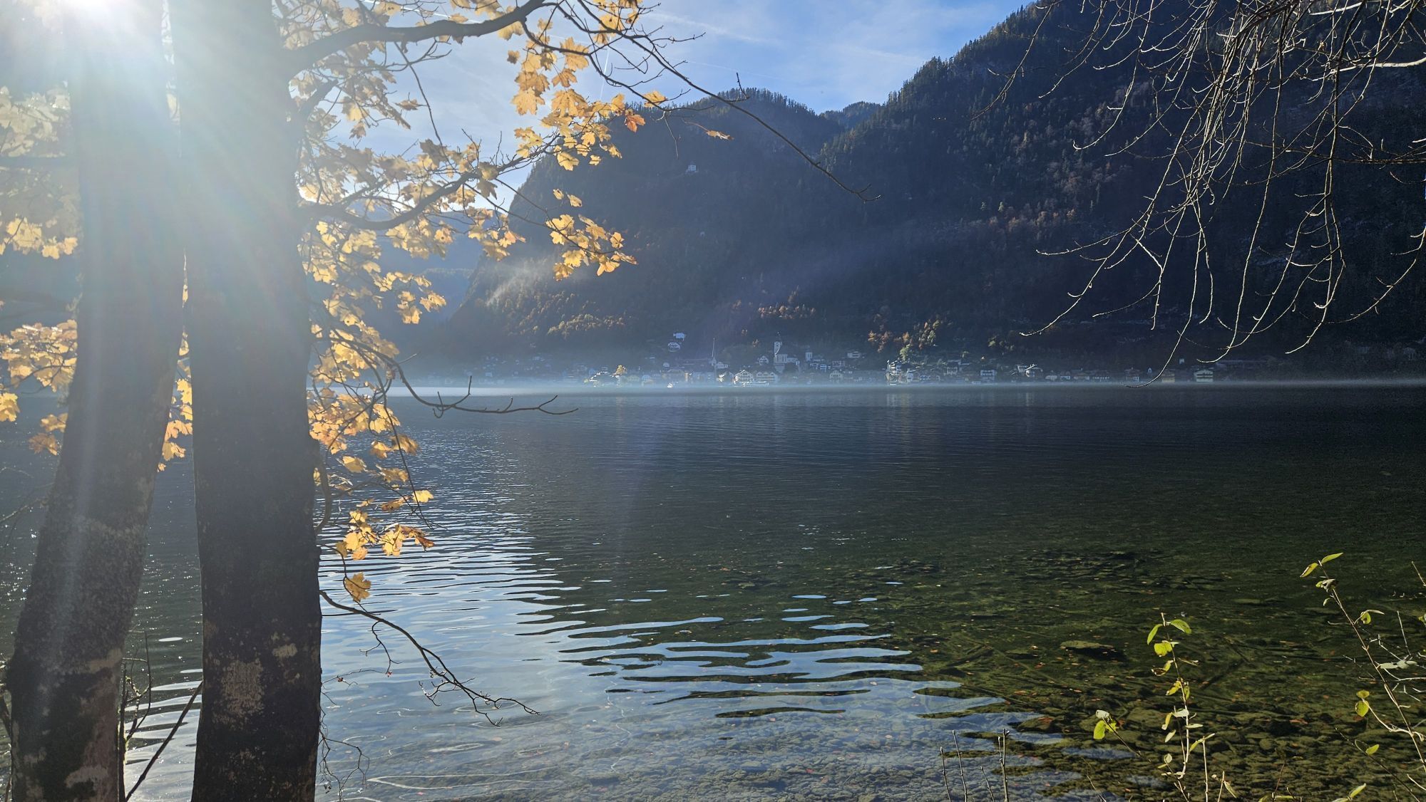


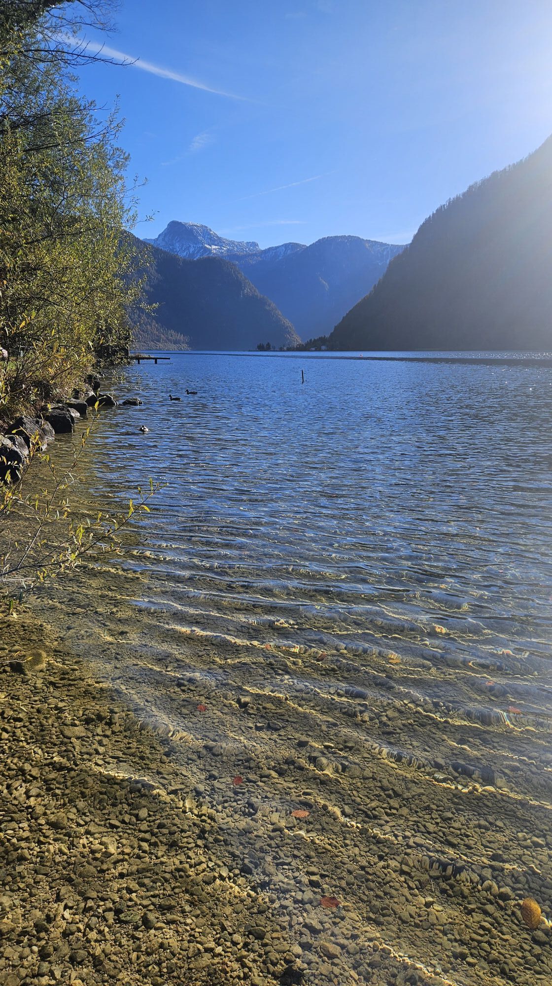
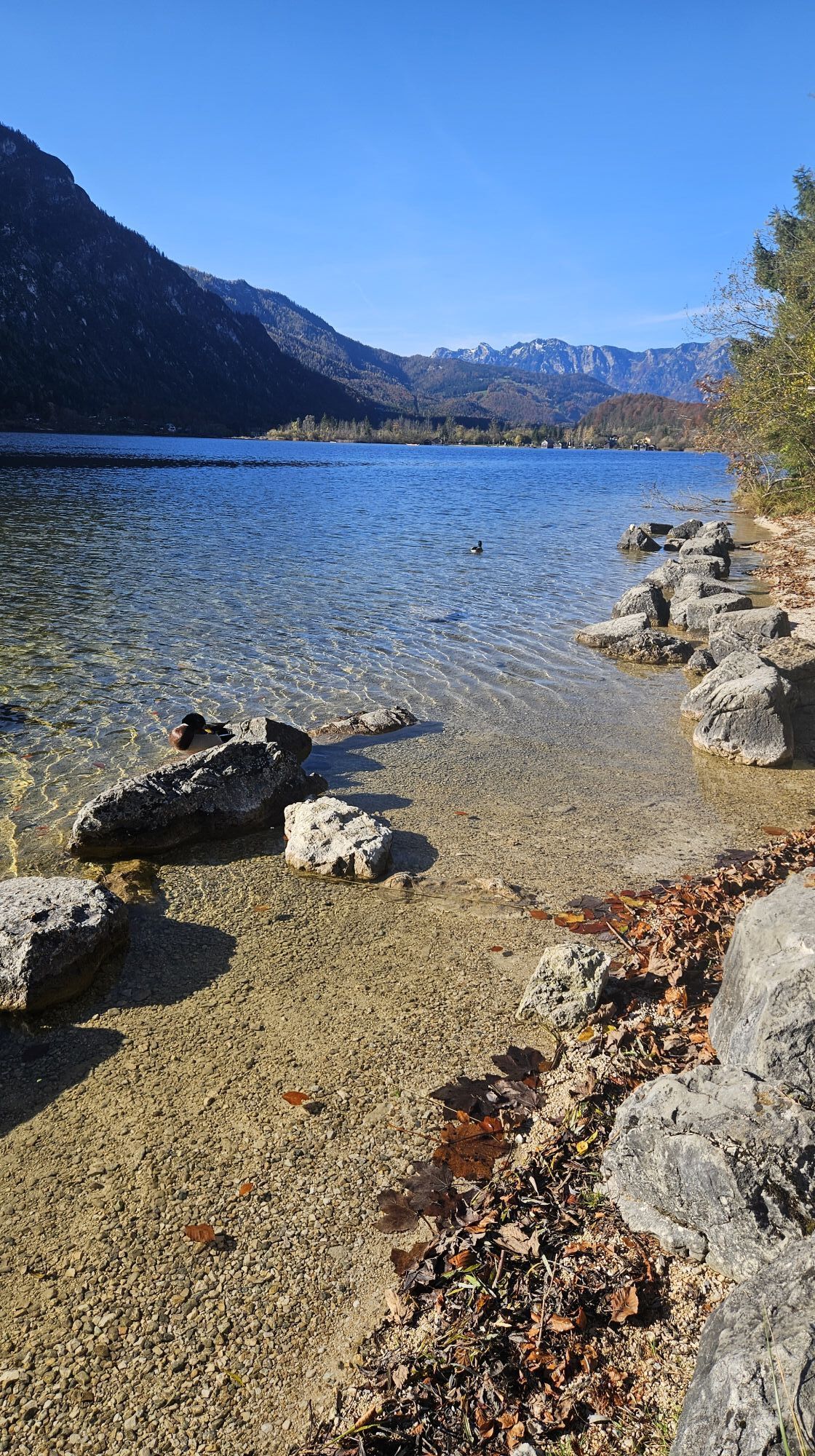
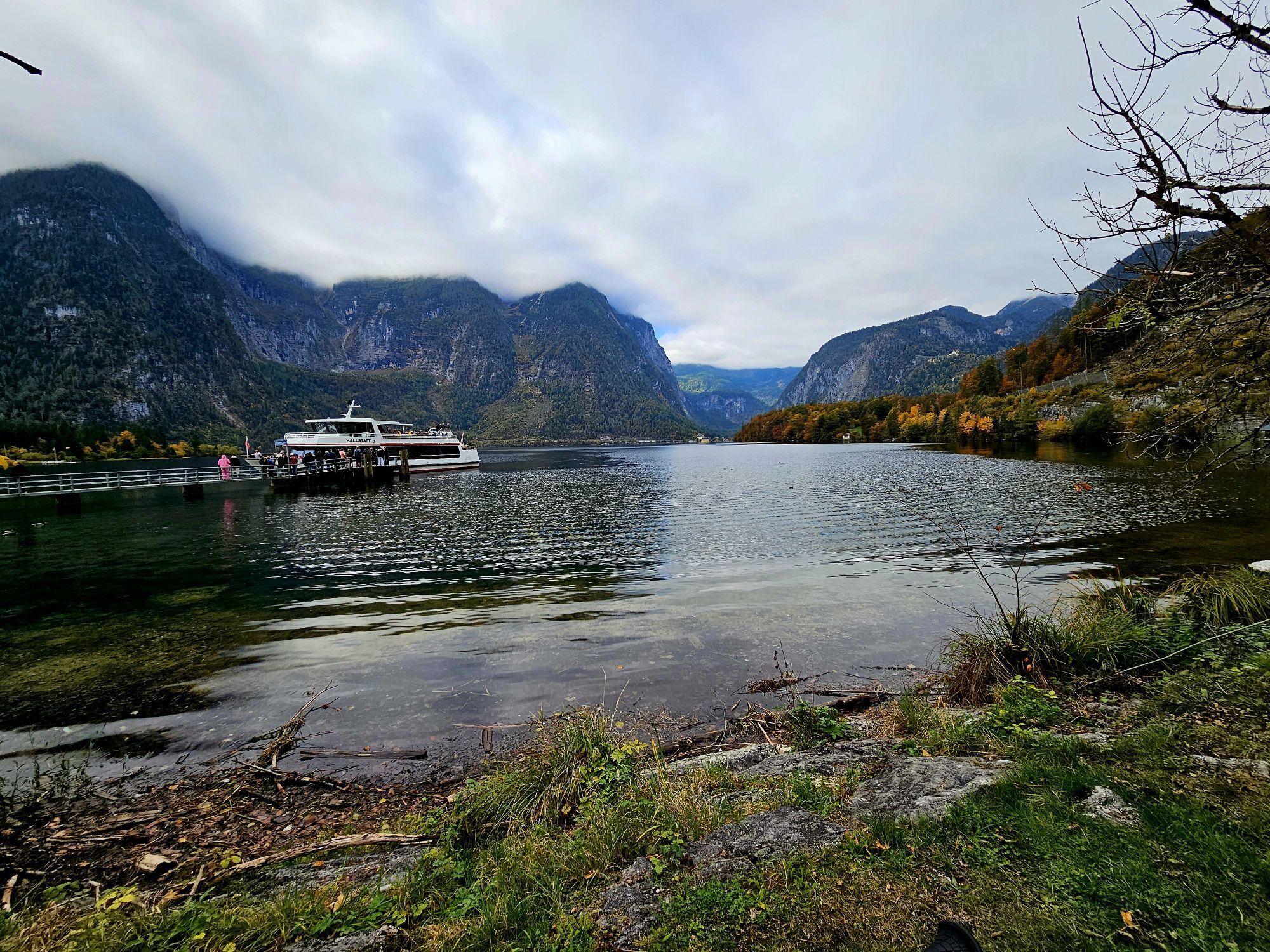

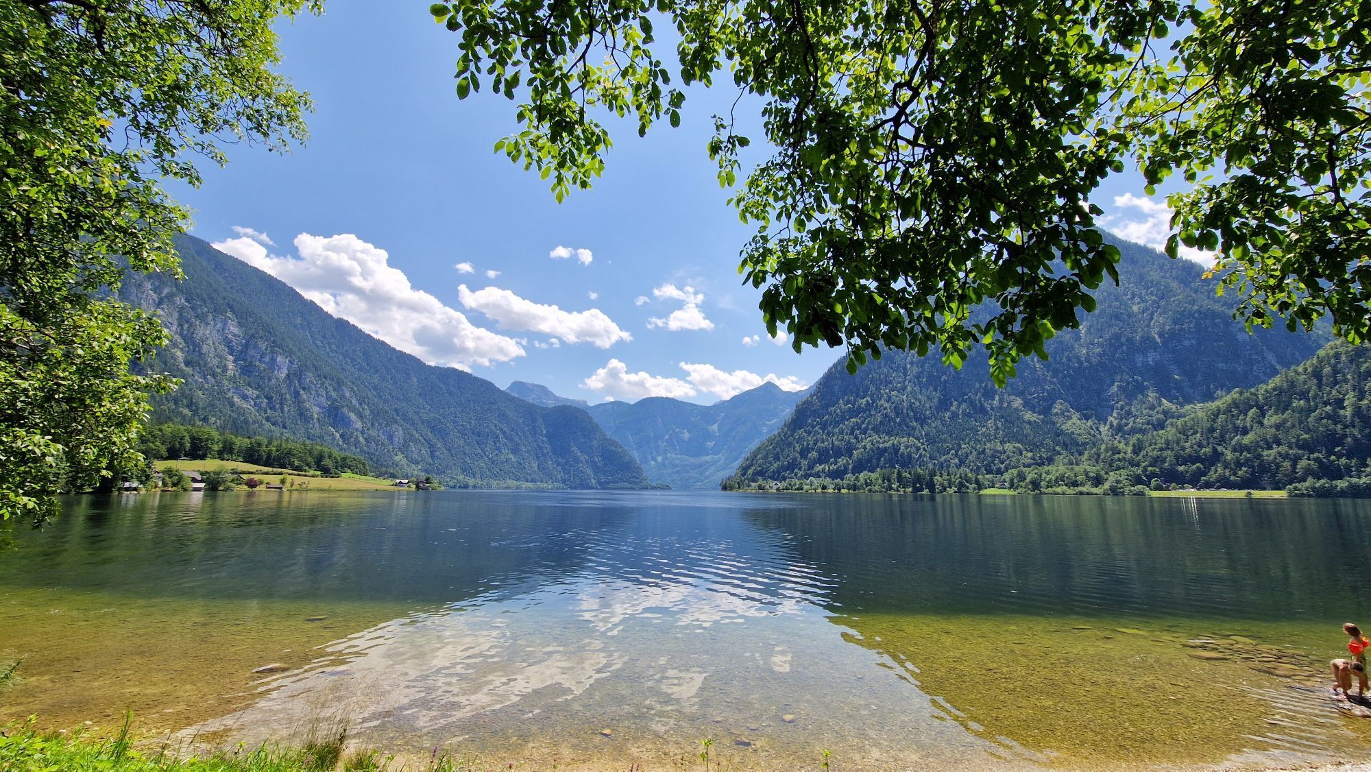


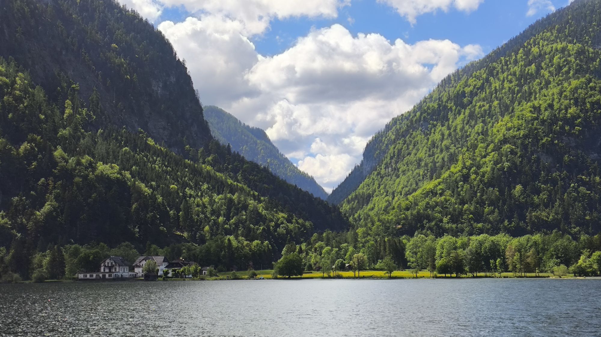
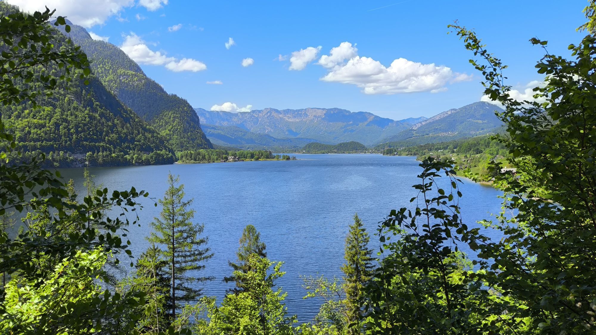


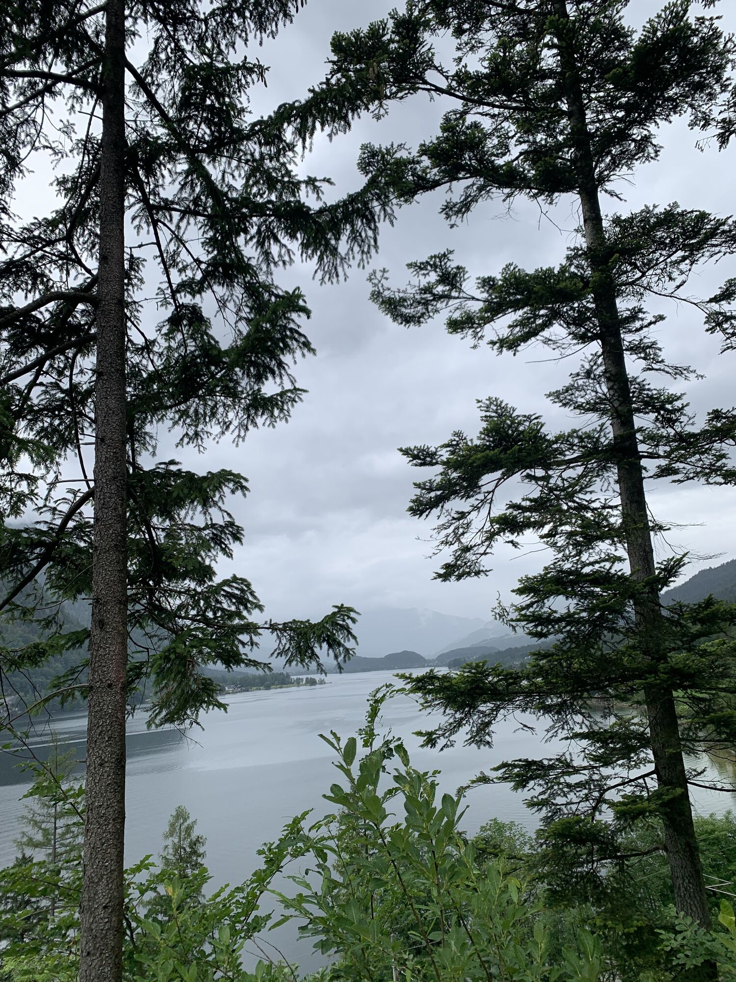
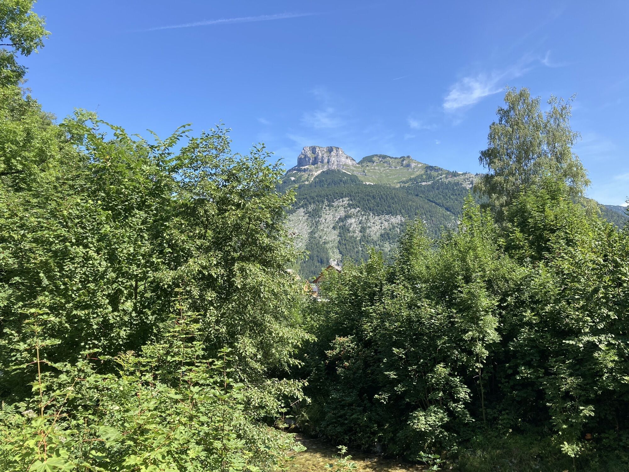


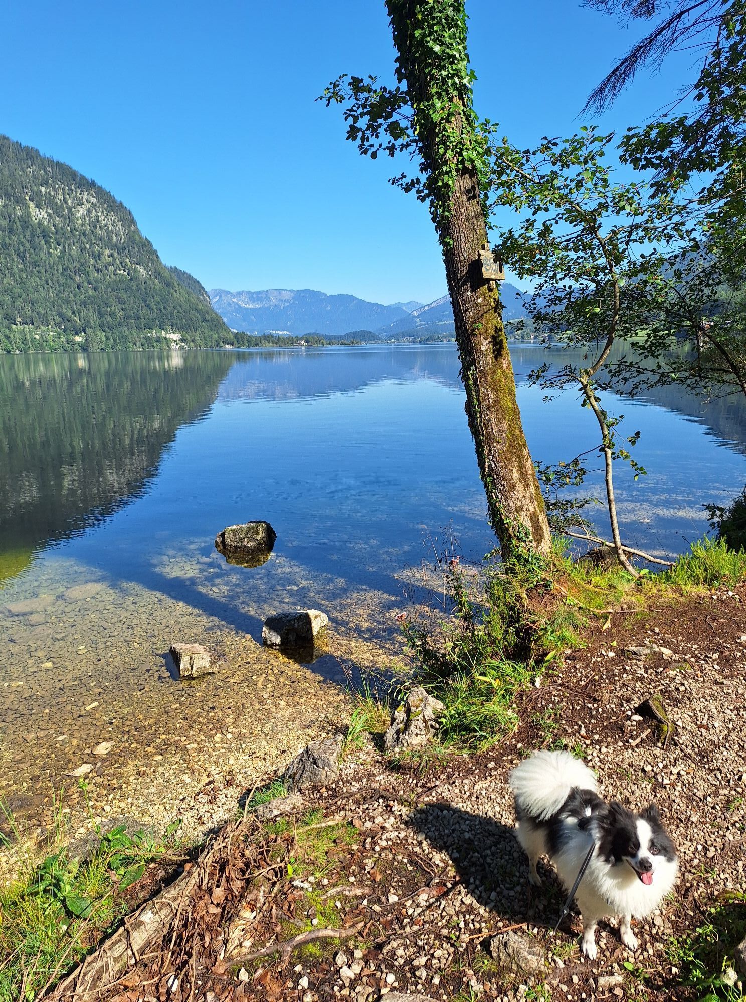
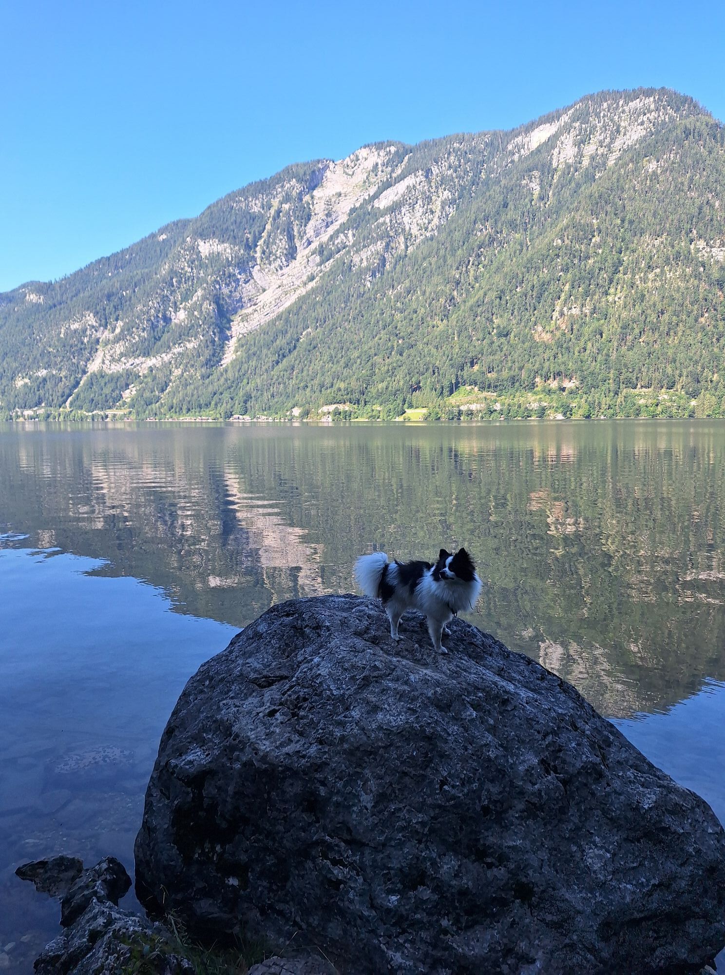
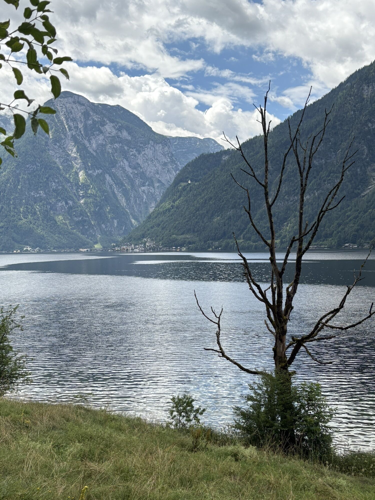

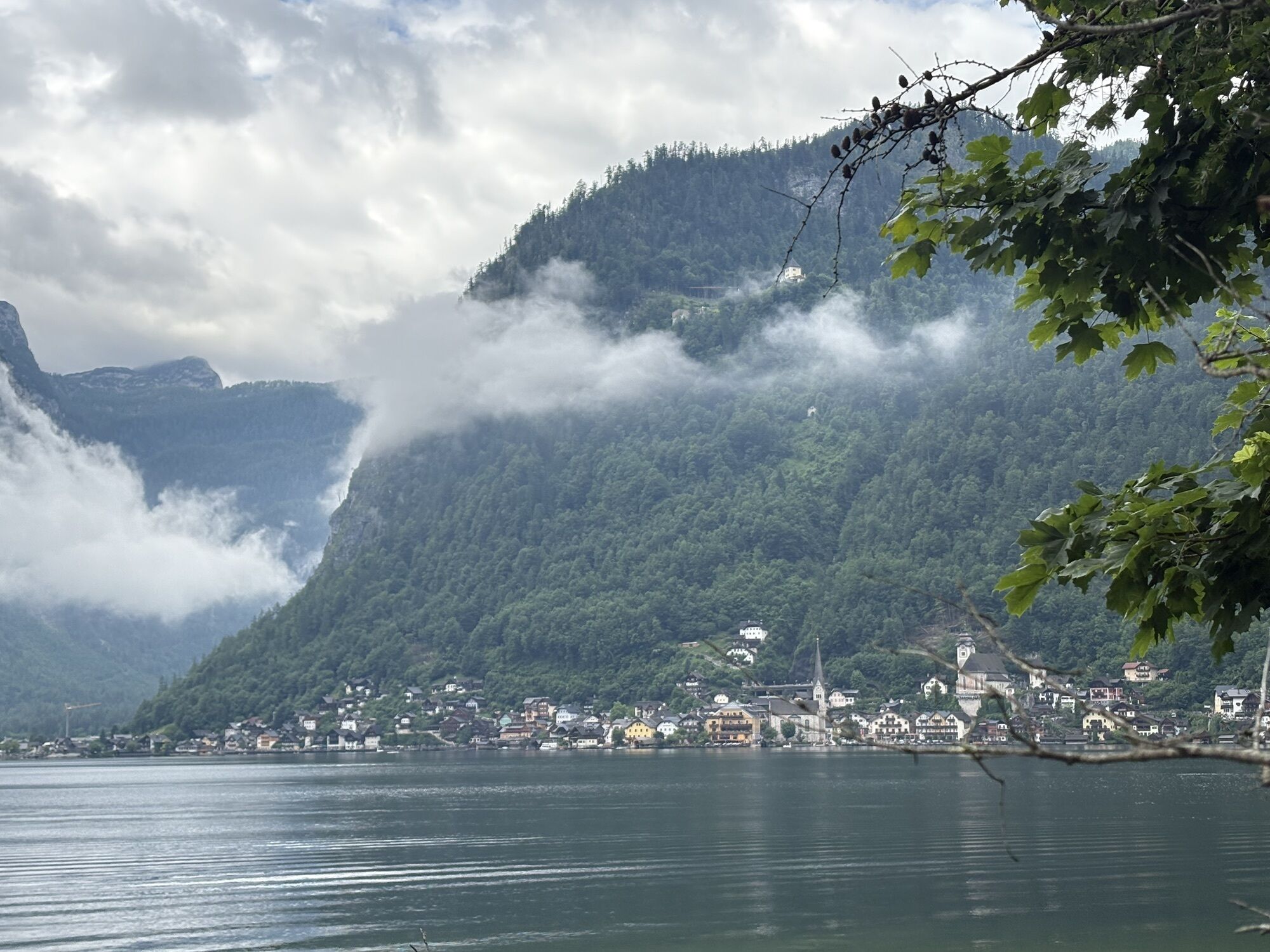


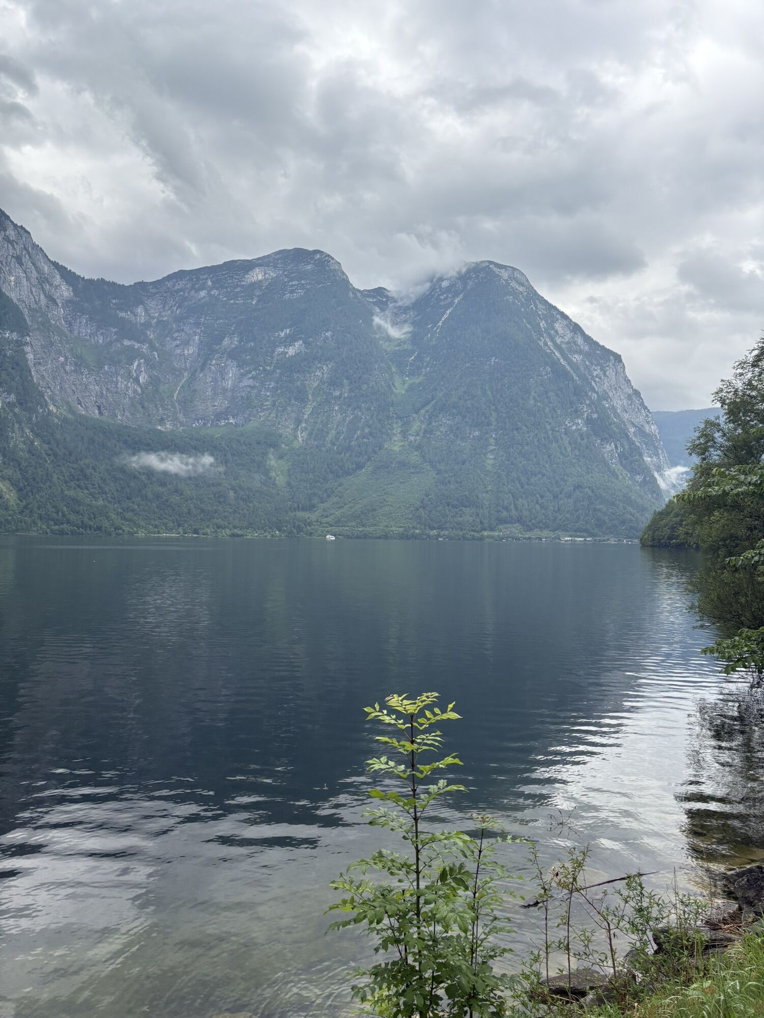
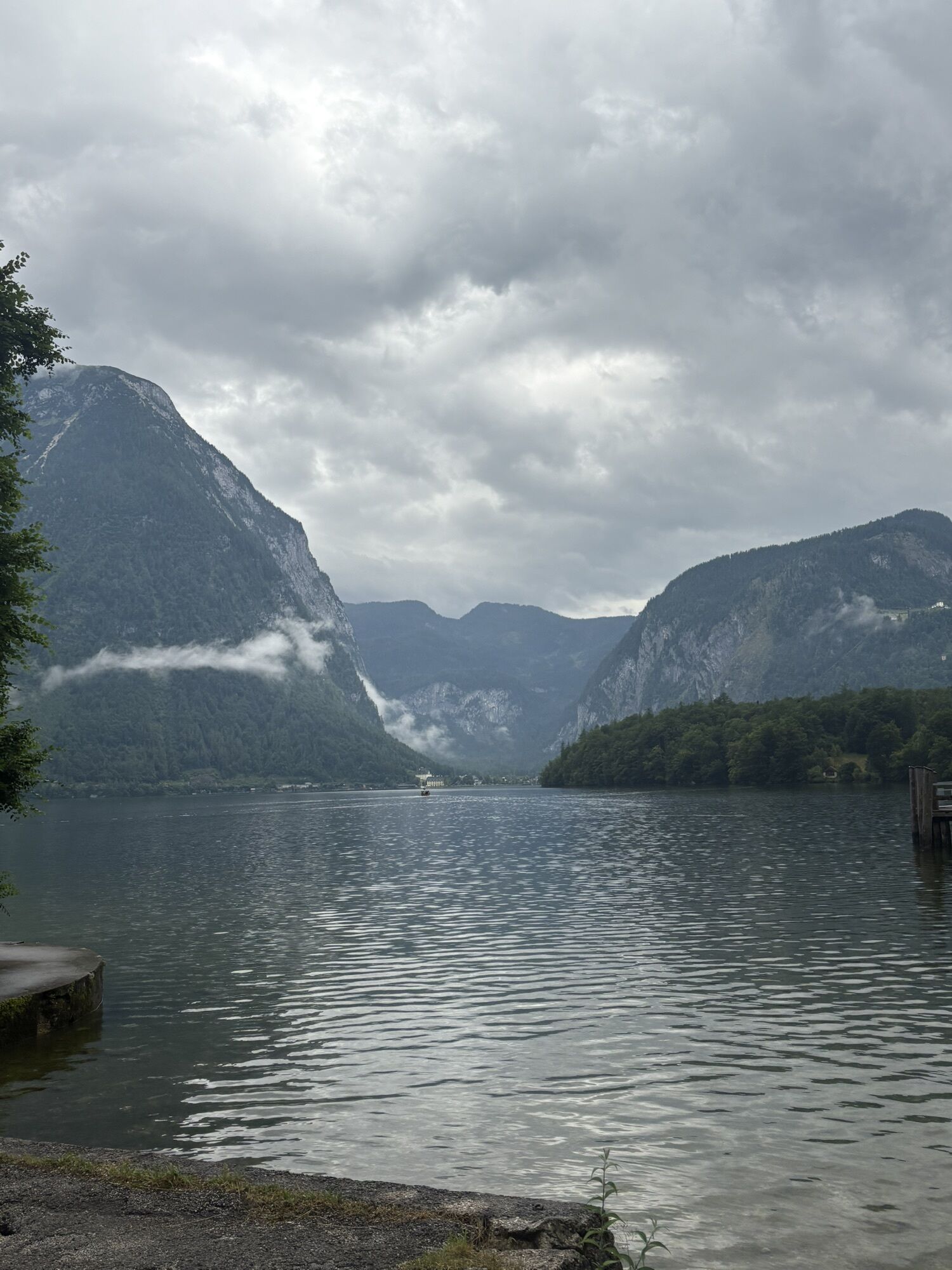

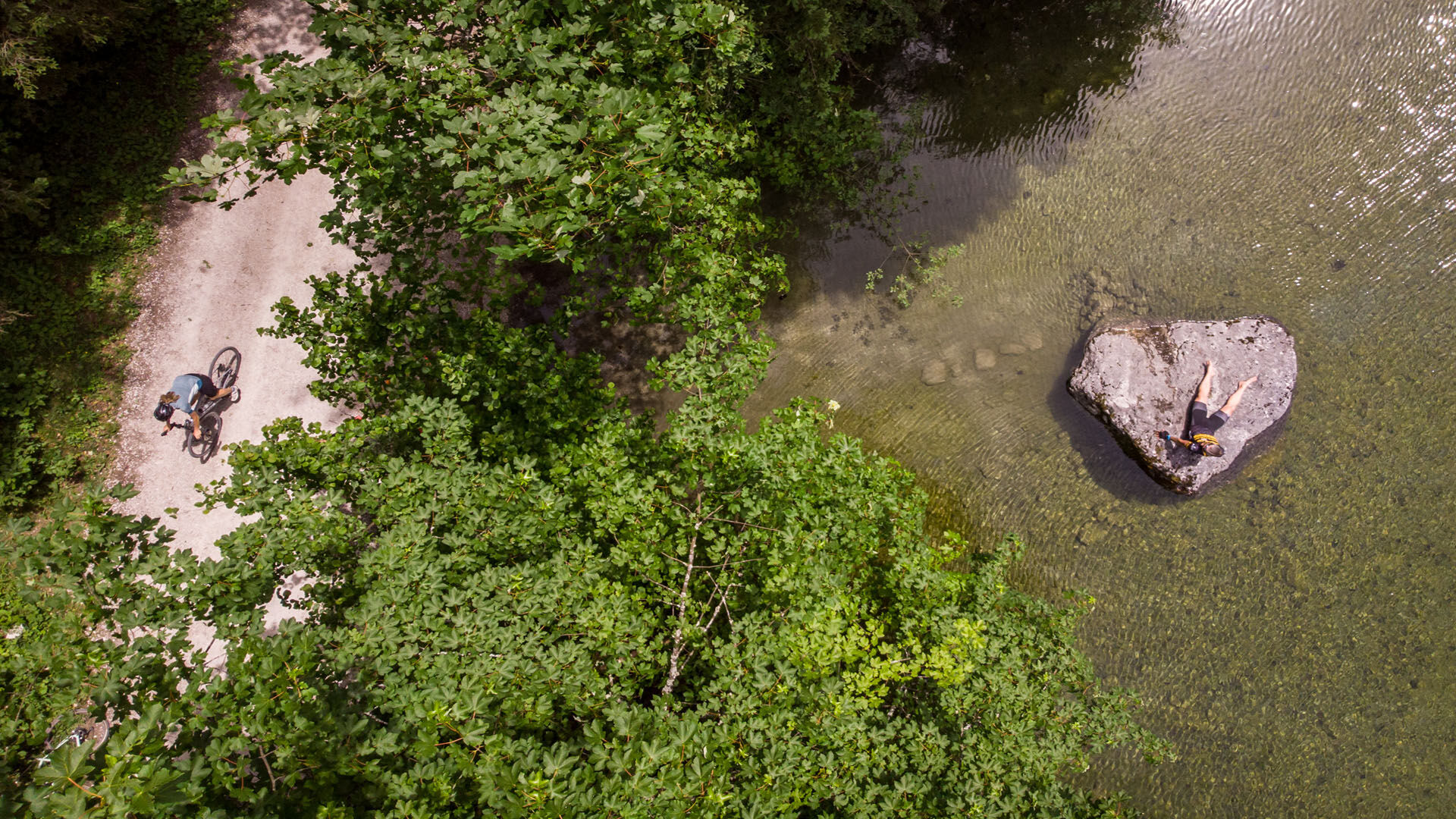
Water that constantly accompanies you on the gravel bike tour, whether as a stream, river or lake.
The holiday region Dachstein Salzkammergut and the Ausseerland create the ideal connection for gravel bikers...
Water that constantly accompanies you on the gravel bike tour, whether as a stream, river or lake.
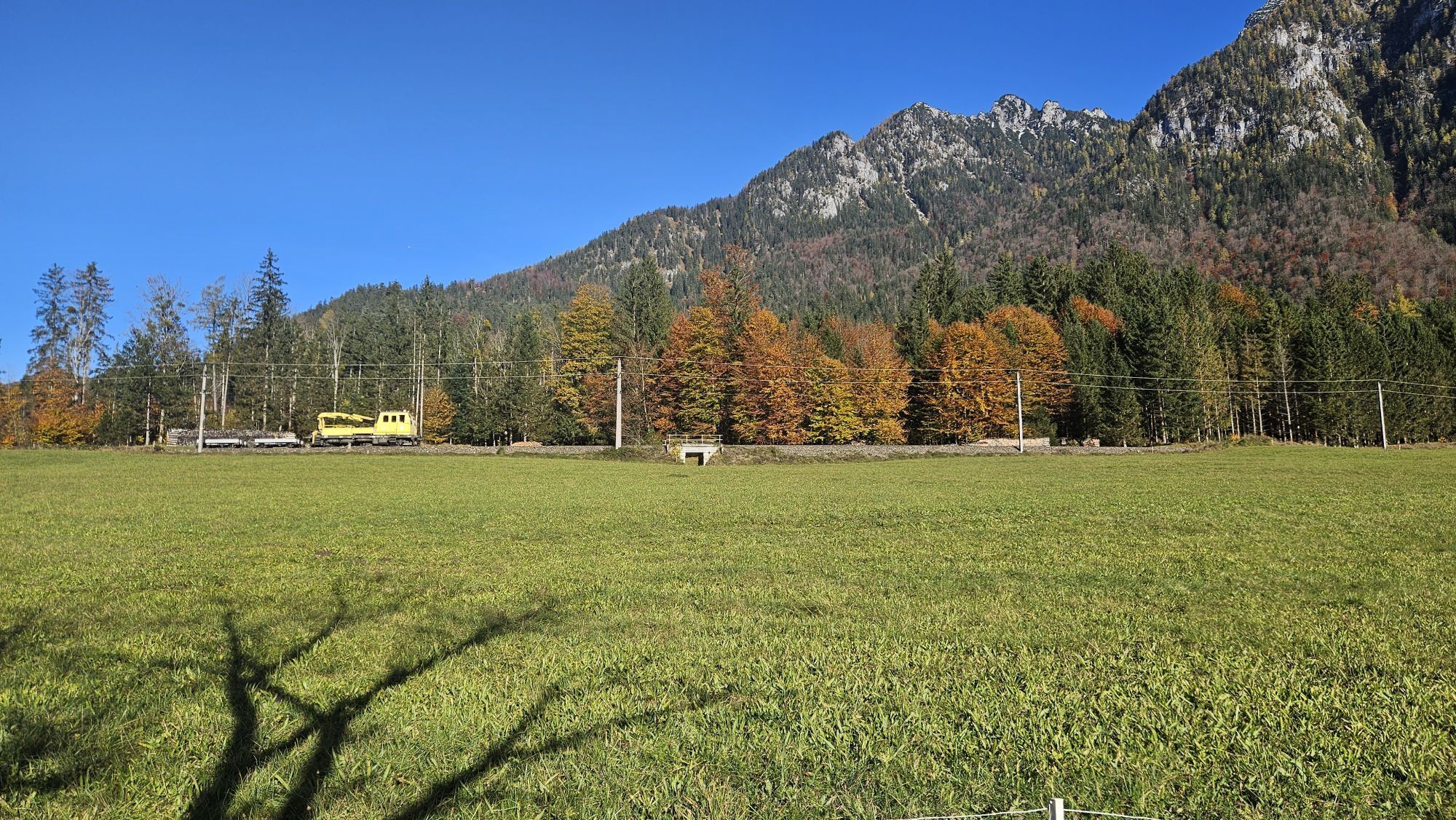
The holiday region Dachstein Salzkammergut and the Ausseerland create the ideal connection for gravel bikers in the Salzkammergut. Forest and local roads take you through part of the Inner Salzkammergut, always accompanied by water, most of which comes from the Dachstein Glacier. On the Gravel Bike Tour around the Sarstein, you will make up a lot of kilometres and metres in altitude on your personal gravel bike account and enjoy the most beautiful sides of the federal states of Styria and Upper Austria.
To the tour:
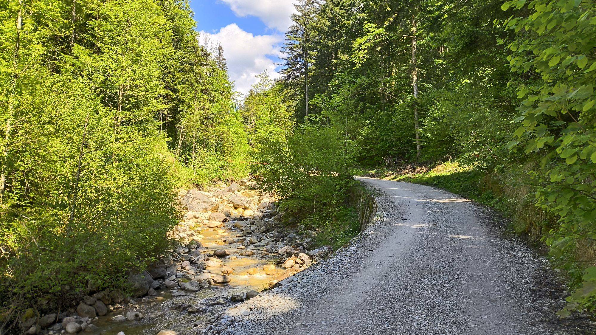
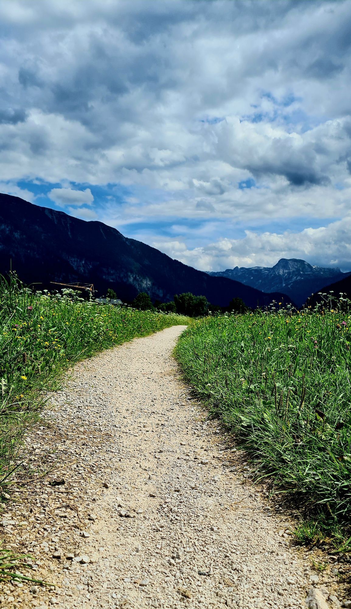
Start at marketplace in Bad Goisern am Hallstättersee in a southerly direction. After crossing the B 166, you will reach St. Agatha on the footpath and cycle path. At the crossroads after the Agathawirt Landhotel turn left towards the Halleralm. Pass the Schützenheim and soon turn right along the "Leislingstraße" along the Zlambach. This forest road will take you up a few metres in altitude. In Ausseerland, it takes you past meadows that are in full bloom in spring - daffodils as far as the eye can see. Why not enjoy this sight on a short detour to Ruine Pflindsberg.
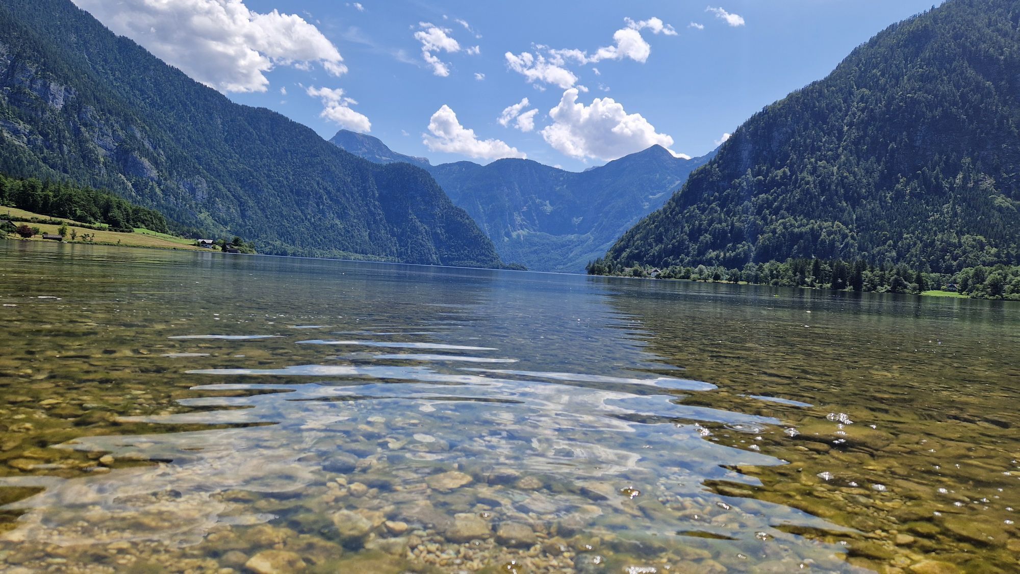
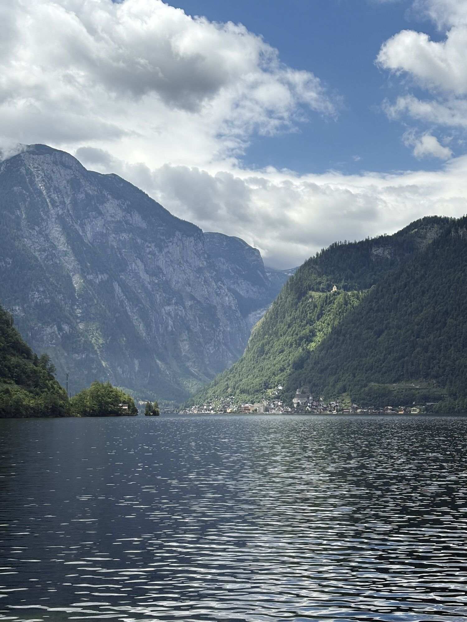
The path continues along the signposts down to Altaussee. After a few minutes on the right, you will reach Lake Altaussee. A short break by the water, with the beautiful mountain scenery with the Trisselwand on the opposite side of the lake in view, is also a good idea here.
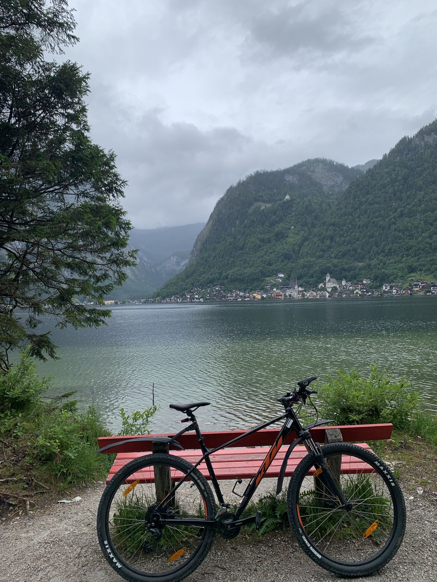
The gravel bike tour around the Sarstein, however, takes you right along Altausseer Straße to Bad Aussee. Turn left here into the town centre and keep right again at the next junction (post office) towards Bad Aussee railway station. You will pass the geographical centre of Austria. This is located in the spa gardens of Bad Aussee.
Shortly after Bad Aussee train station, you will climb a few metres in altitude again at the start of Koppenstraße. Follow this road for a few kilometres before turning right onto the Koppentalradweg. Alternatively, you can continue along the road to Obertraun follow.
A small diversions to Koppenwinklsee with its impressive fauna and flora as well as a short break at Gasthaus Koppenrast are highly recommended.
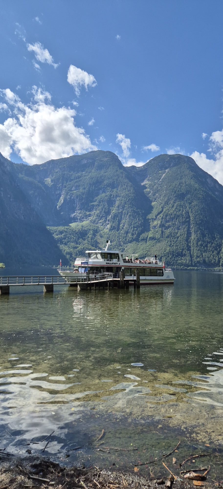
Then follow the road to Strandbad. On hot summer days, a dip in the lake will cool you down.
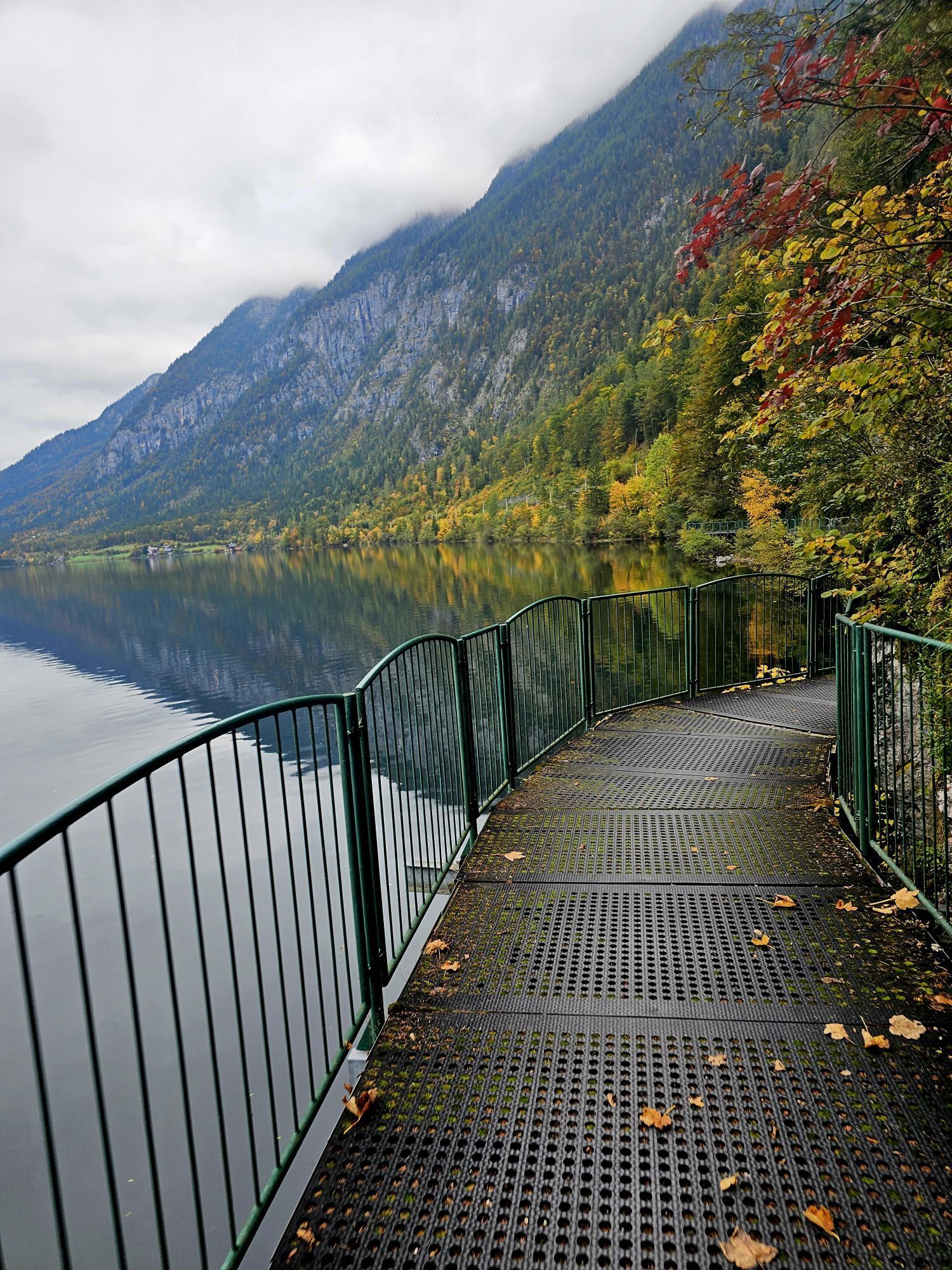
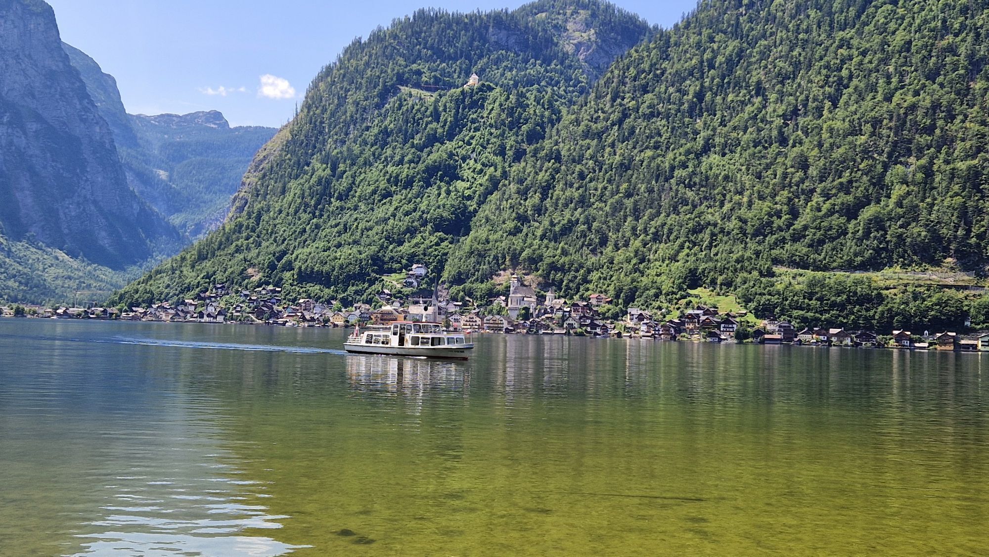
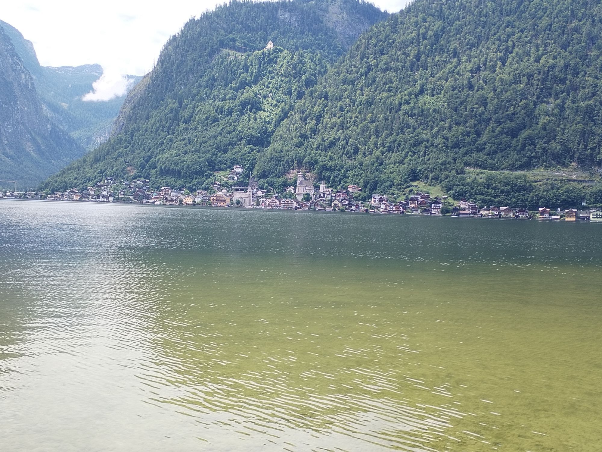
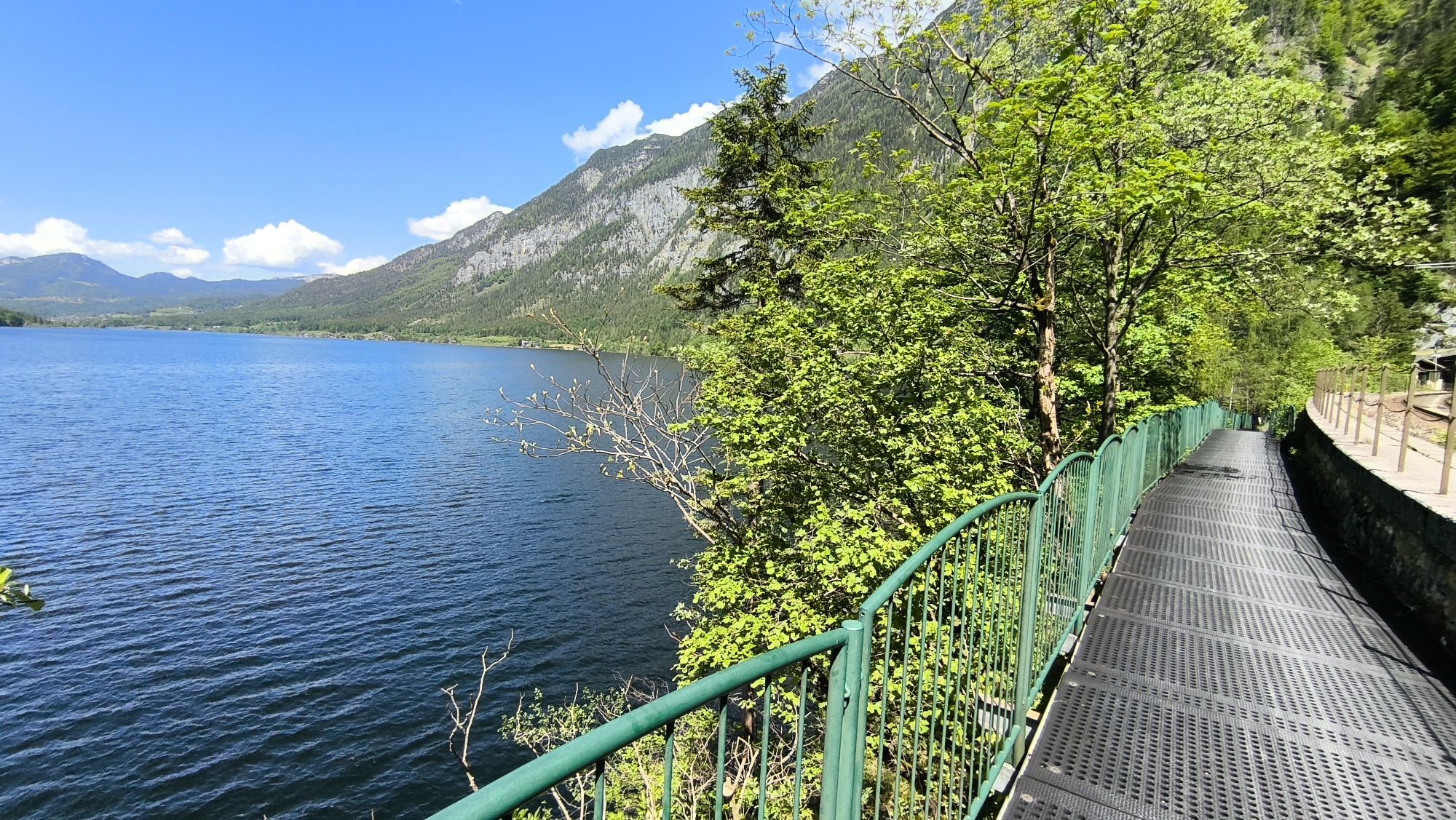
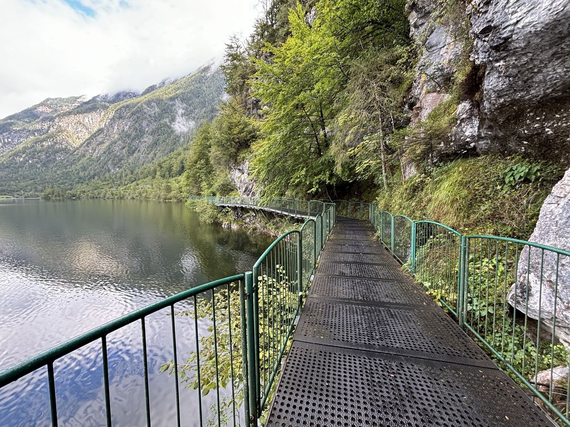
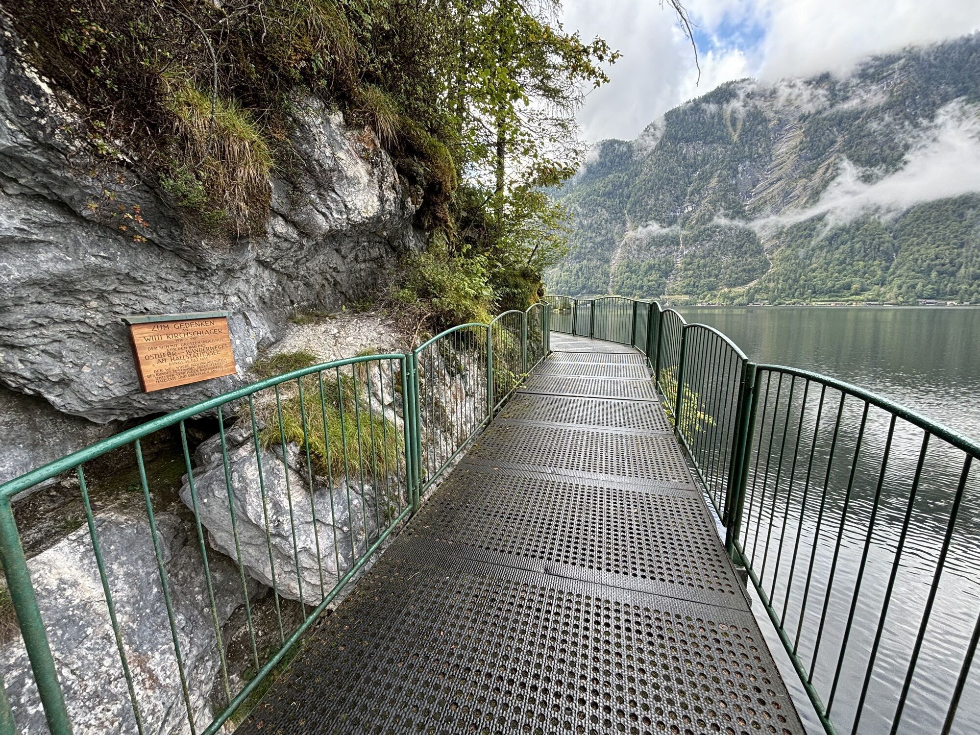
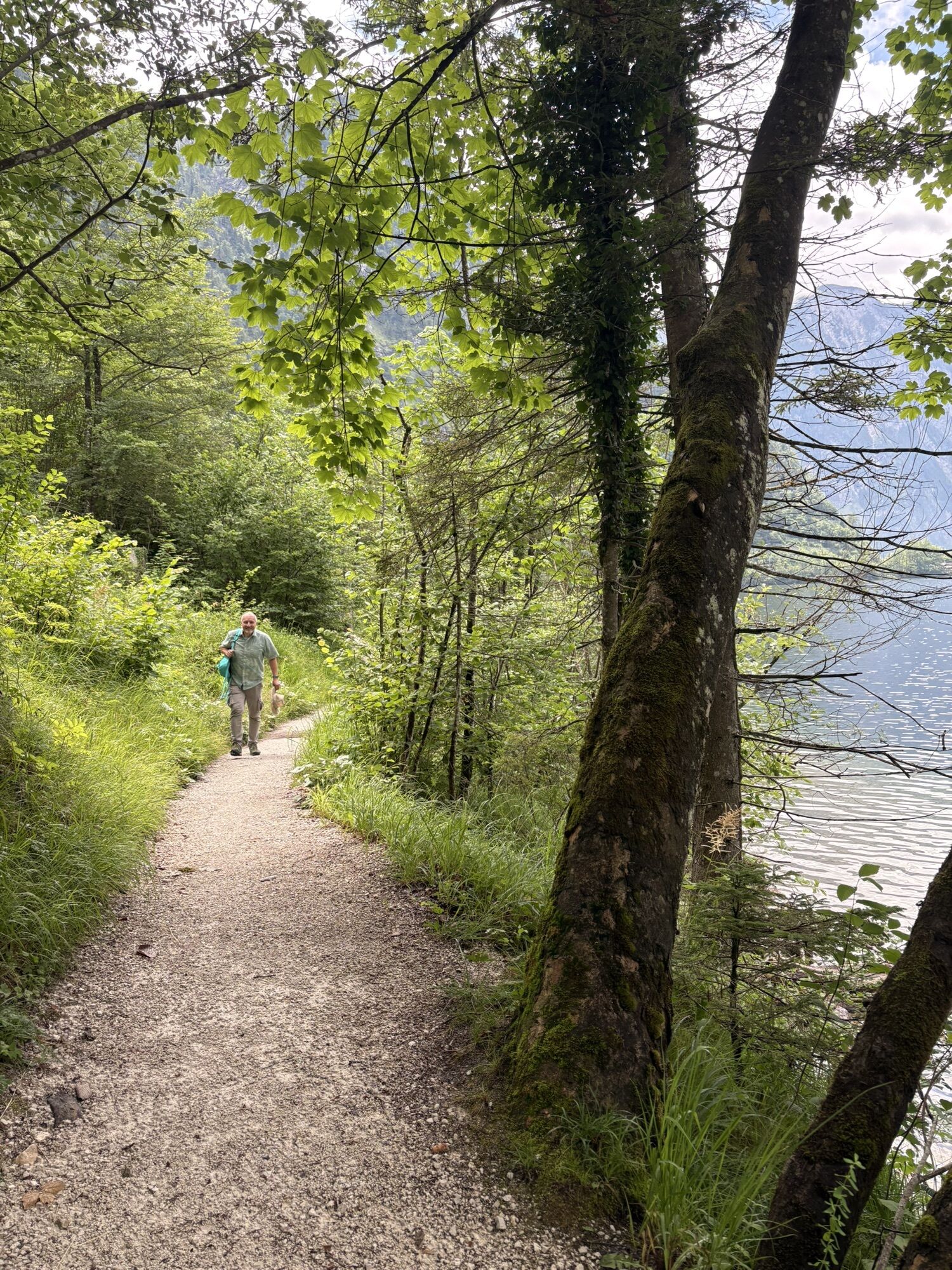
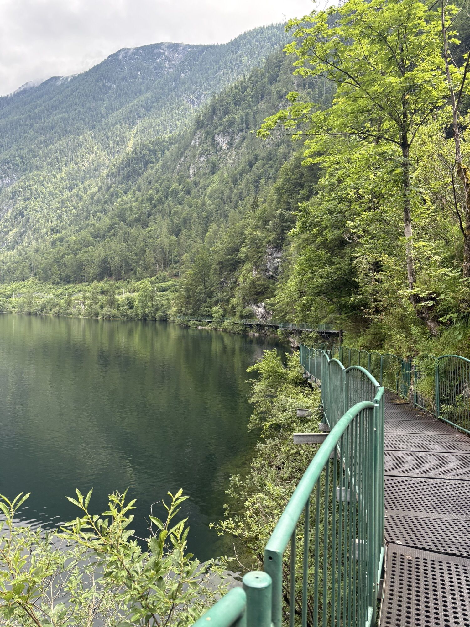
After that, head to the Ostuferradweg dem Lake Hallstatt. This path is used by cyclists and hikers - please be considerate.
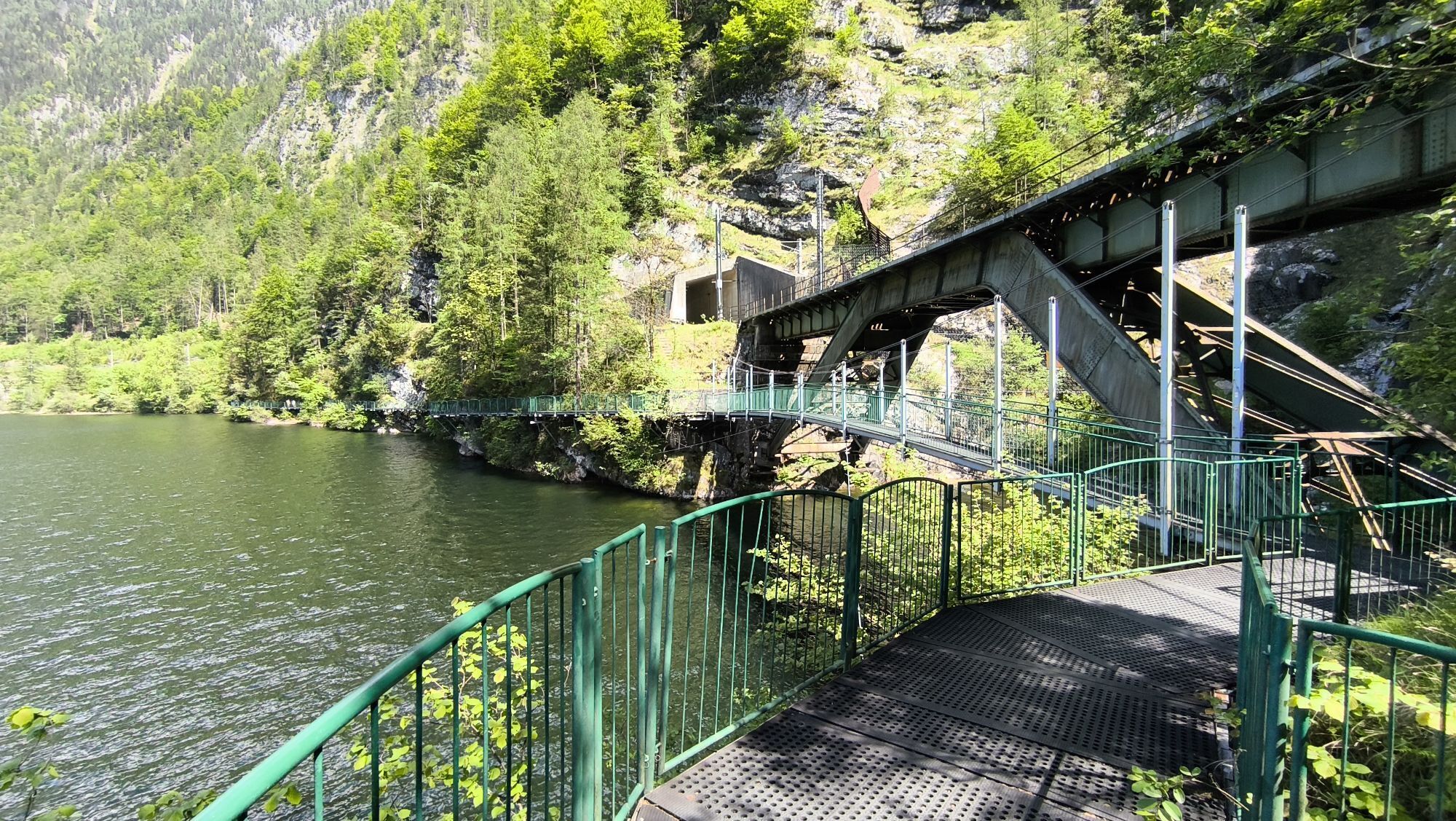
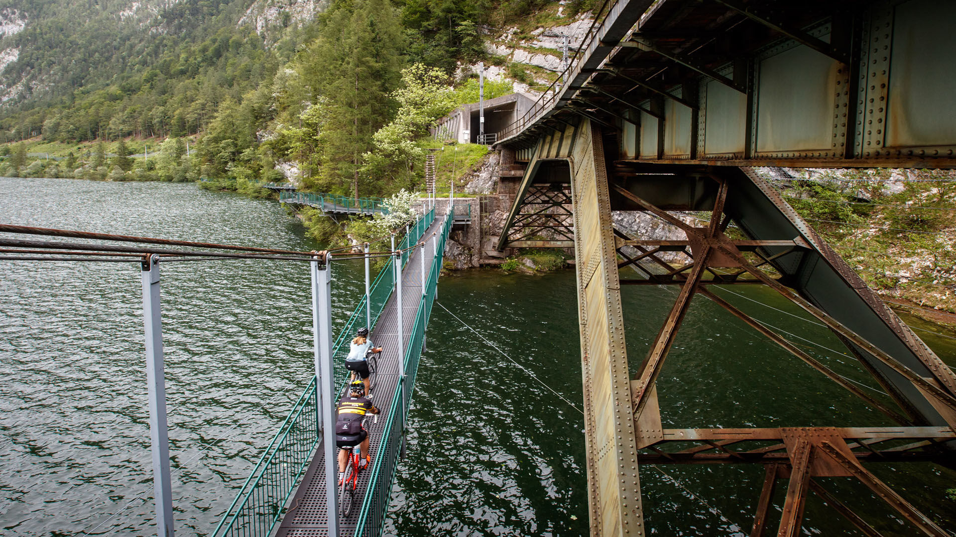
After a few minutes' ride you will reach Hallstatt train station. Afterwards, another highlight of the tour awaits you. On the Suspension Bridge you cross the deepest point of Lake Hallstatt at approx. 125 metres. There must be time for a little souvenir photo here!
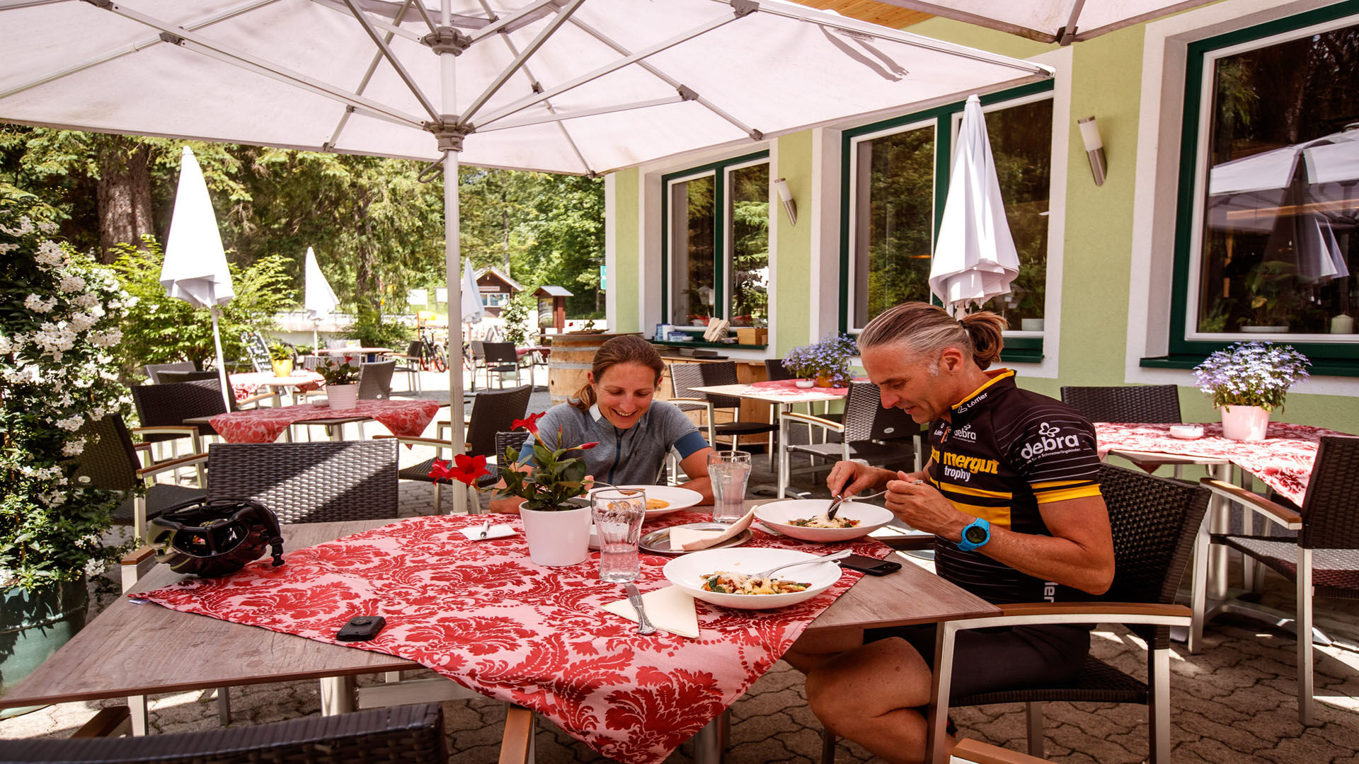
Shortly after the suspension bridge, the cycle path separates from the hiking trail and continues above to Uferwirt Seeraunzn. The sunny terrace invites you to rest and recharge your batteries. Afterwards, cyclists and hikers continue along the same route. The road continues via the villages of Obersee and Untersee to Au. From here, follow the footpath and cycle path along the B 166 to the entrance to Bad Goisern-Süd and cycle back to the starting point on Obere Marktstraße.
Here you can find lots more information about Gravel Biken.
Experience a 360° panoramic tour through Bad Goisern on Lake Hallstatt...

Parcours populaires à proximité
- 4,8
Heilbronner circular trail
facileRandonnée7,78 km - 4,4
Bad Goisern: Pötschenhöhe – Sarstein - Obertraun
Randonnée11,4 km - 4,5
Hike to the Hütteneckalm
facileRandonnée8,70 km - 4,8
Loserrunde über Augstsee, Loserfenster, Losergipfel und Loserhütte
moyenRandonnée4,69 km - 4,4
+++ Grundlsee Umrundung
facileRandonnée14,9 km - 4,9
„Hoher Sarstein 1975m“ - Hallstätter Genusstour - Hallstatt - Obertraun - Bad Ischl
difficileRandonnée23,2 km - 4,0
Predigtstuhl 1.278m
moyenRandonnée6,77 km - 3,7
Rund um den Grundlsee
facileRandonnée14,7 km - 4,6
Frühlingsausflug auf den Predigtstuhl
moyenRandonnée4,43 km - 4,7
Hütteneck ski & snowshoe tour
moyenRaquettes3,88 km
Randonnée et suivi


Ne manquez pas les offres et l'inspiration pour vos prochaines vacances
Votre adresse électronique a été ajouté à la liste de diffusion.