


Lake Faak Hike- take a stroll around Lake Faak


Photos de nos utilisateurs

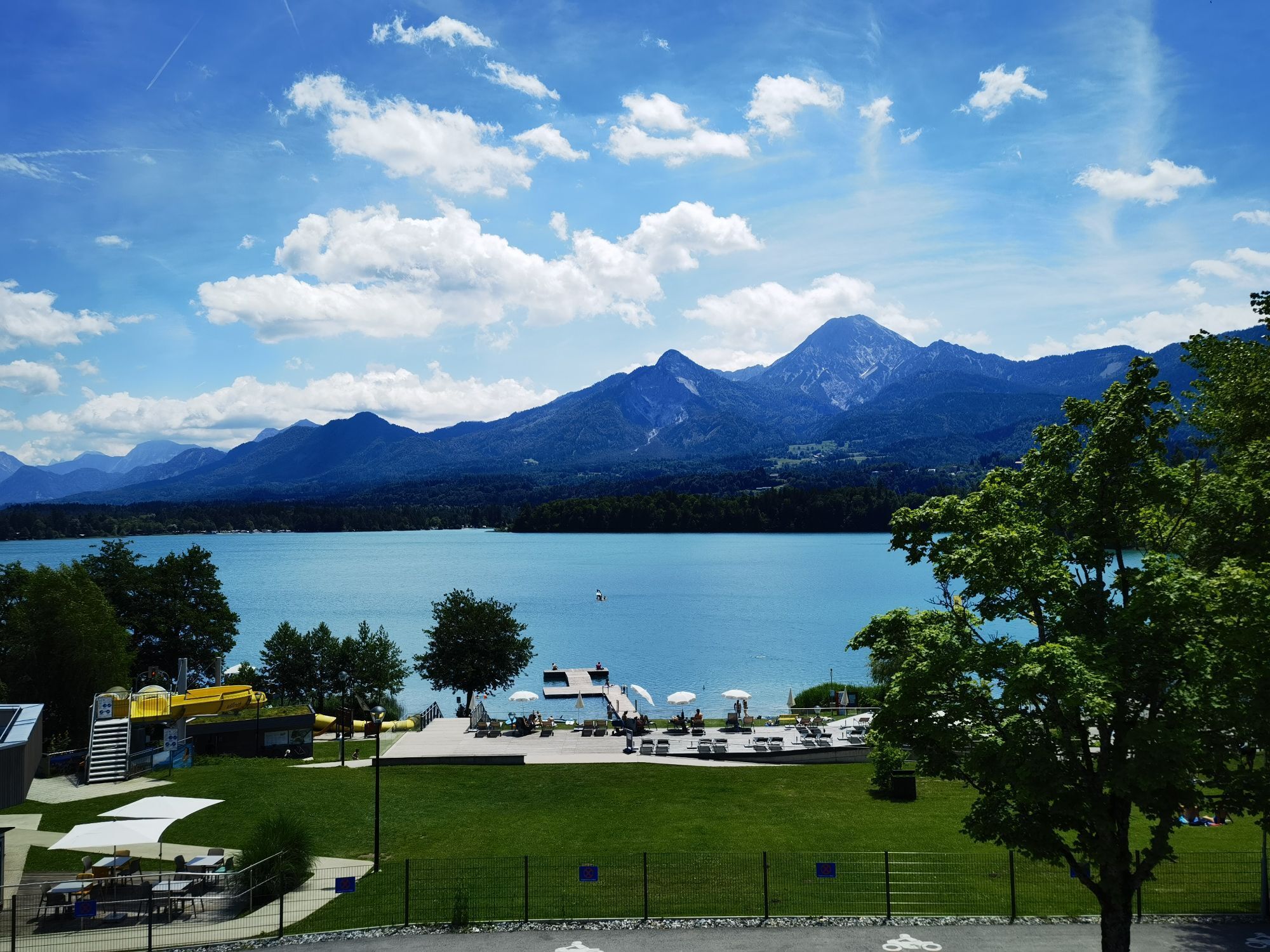
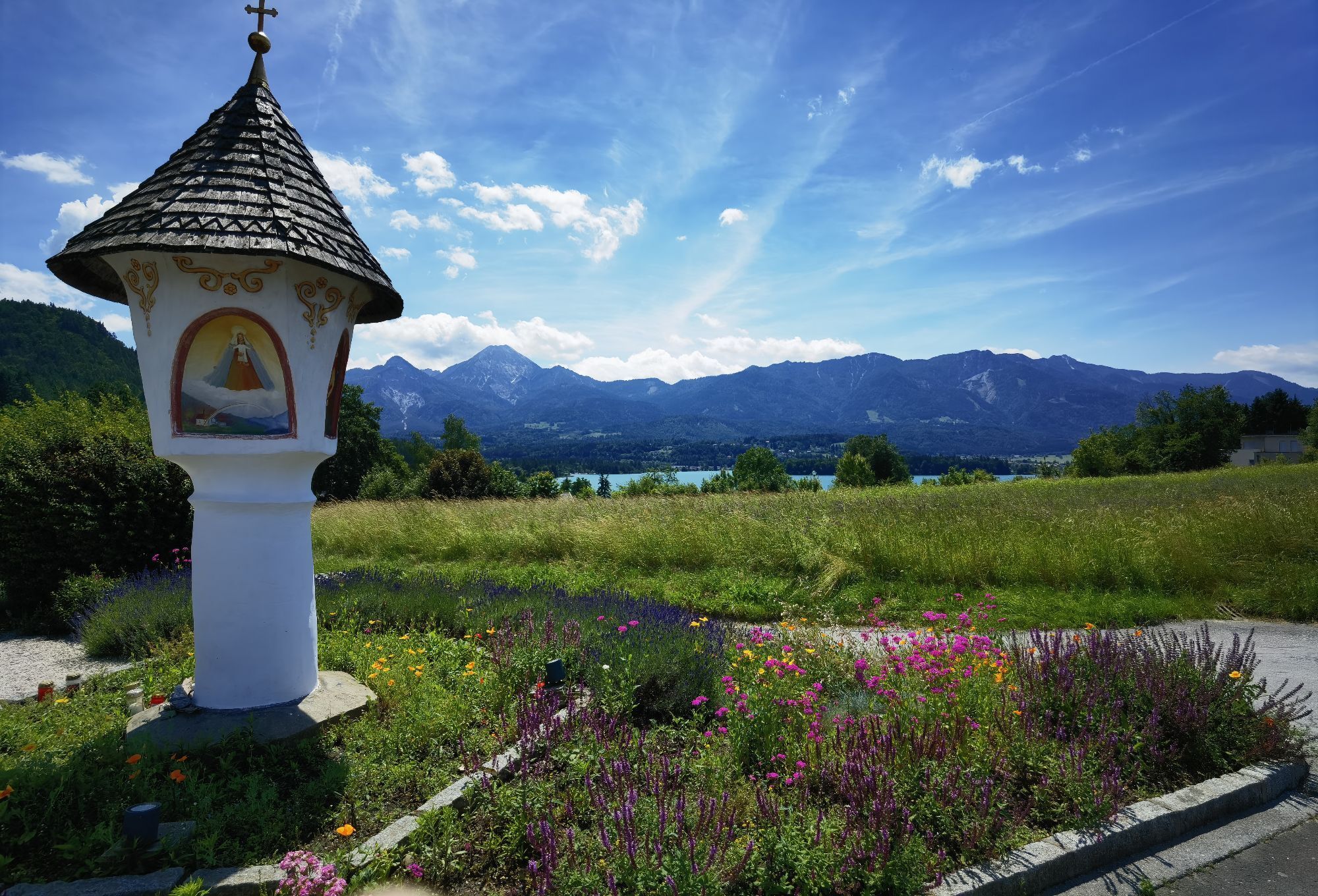
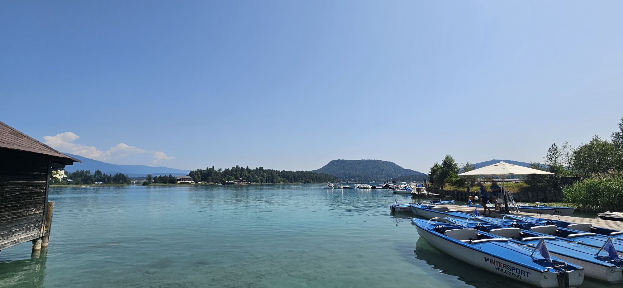
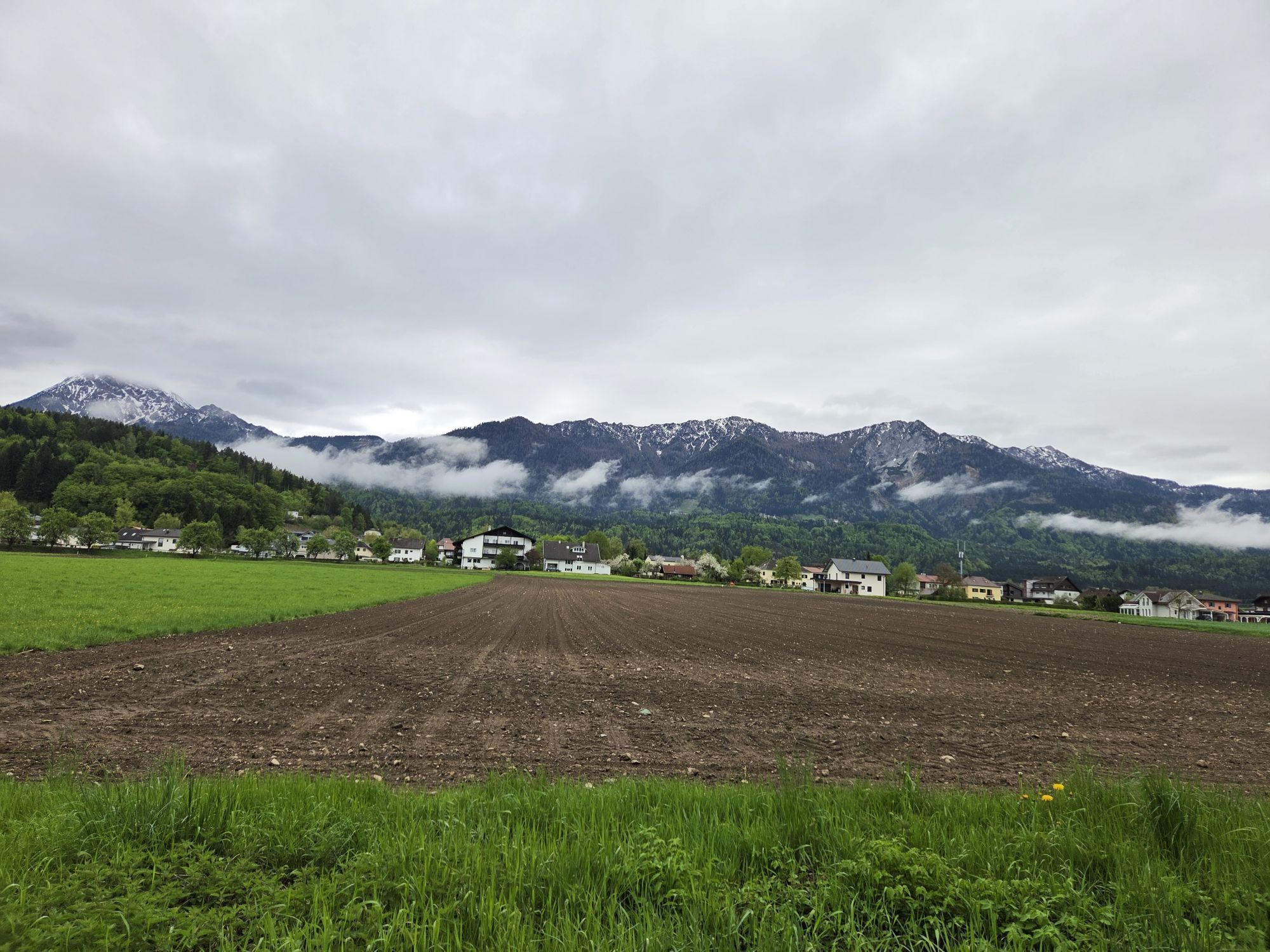
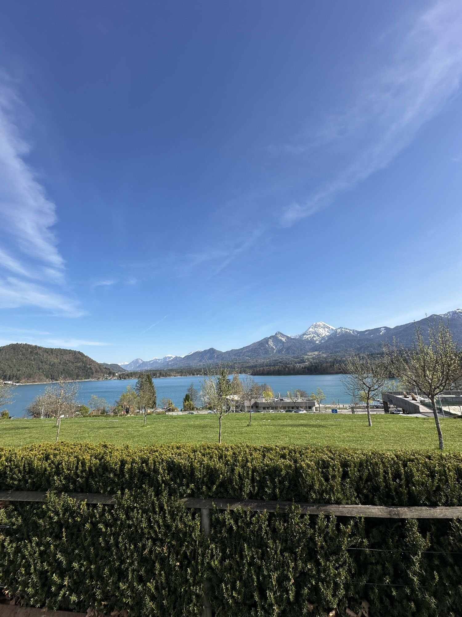
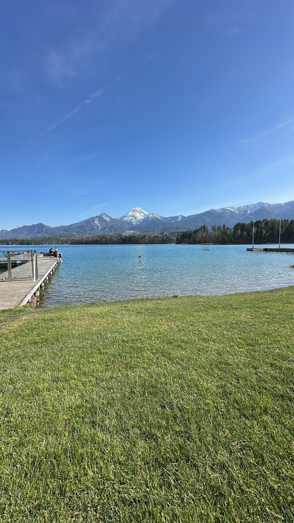
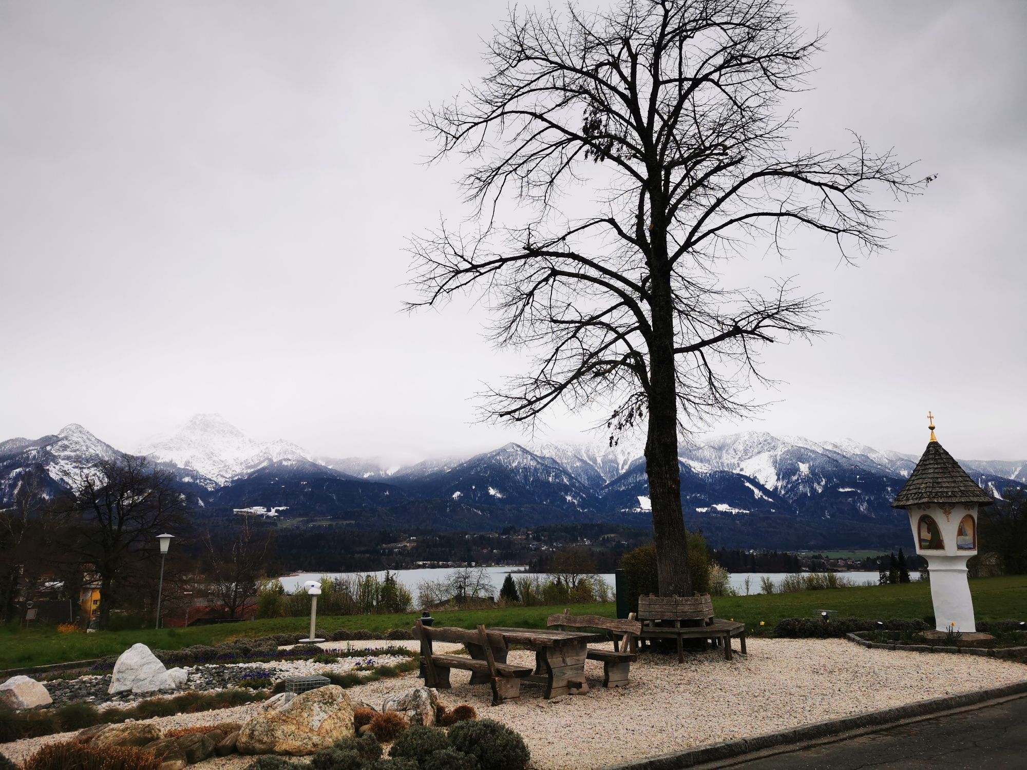

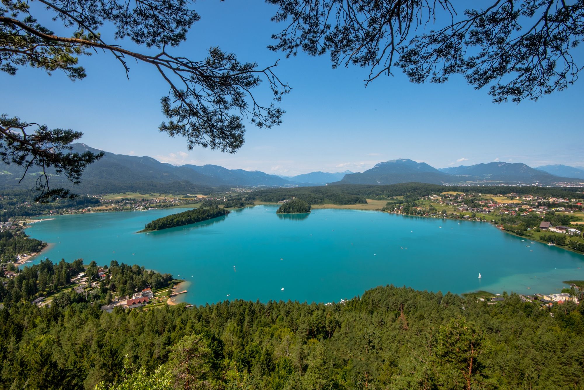


You can begin this hike from basically any point around Lake Faak. A decent starting point is the Faak Tourist Information Center, where you can take either the "Fliederweg" or "Kirchenweg" to begin the hike. Shortly before the main road (Bundesstrasse) leads into a patch of woods, there is a forest path that leads in the direction of Drobollach (always follow the "Seerundweg" signs). Before Drobollach you come out of the woods again and follow the main road for a short time. Still before getting to Drobollach, there is a small field path that leads to the lakeview promenade, which you follow further in the direction of “Egg.” After a short break at “Egger Martel” to enjoy the gorgeous view the path leads you to Egg. In Egg you can either take a direct path along the main road or you can walk past the Egger Church to meet up with a forest trail that runs parallel to the main road. With this second route you will walk past “Hotel Sonnblick,” out of the woods and take a right back onto the main road. After passing the camp-site you walk along the lake back to Faak.
Oui
Sport or hiking shoes.
You can reach Lake Faak with either the A2 or A11 highway (exit "Faaker See" or "St. Niklas").
Every point around the lake is reachable with the post busses and Faak is reachable with the trains of ÖBB.
There are free parking spots at either the Drobollach tourist information center or Faak tourist information center.
On Tabor Peak you will find a very interesting high ropes course (http://www.hochhinauf.at)- for those who are not afraid of heights!
Parcours populaires à proximité
- 3,6
Parcours du Forstsee
facileRandonnée4,26 km - 4,6
Rotschitza Klamm Klettersteig B/C
moyenVia ferrata3,73 km - 3,9
Faakersee Rundweg
facileRandonnée9,55 km - 3,3
Autour du lac d'Ossiach
moyenFaire du vélo68,7 km - 3,8
Piste cyclable du lac Ossiach - R2 et R2A
moyenFaire du vélo28,2 km - 4,3
Mittagskogel - Rundwanderung
difficileRandonnée14,5 km - 4,5
Baumgtn. Höhe, Mallestiger Mittags- und Schwarzkogel
difficileRandonnées d'hiver10,7 km - 5,0
Kathreinkogel
moyenRandonnée3,56 km - 4,9
4 Huts Tour
moyenRandonnée8,96 km - 4,2
Mittagskogel
difficileRandonnée13,3 km
Randonnée et suivi


Ne manquez pas les offres et l'inspiration pour vos prochaines vacances
Votre adresse électronique a été ajouté à la liste de diffusion.