


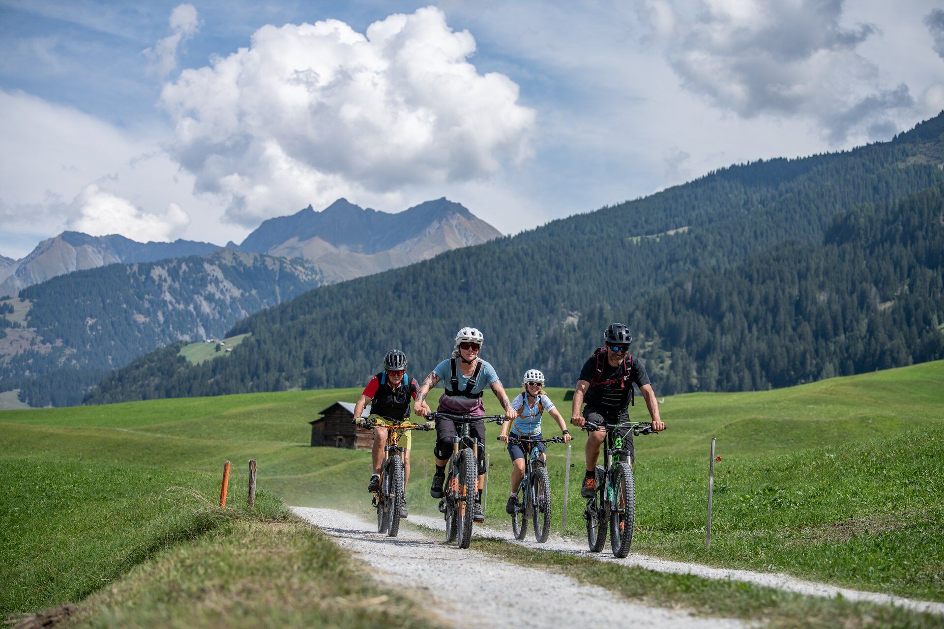
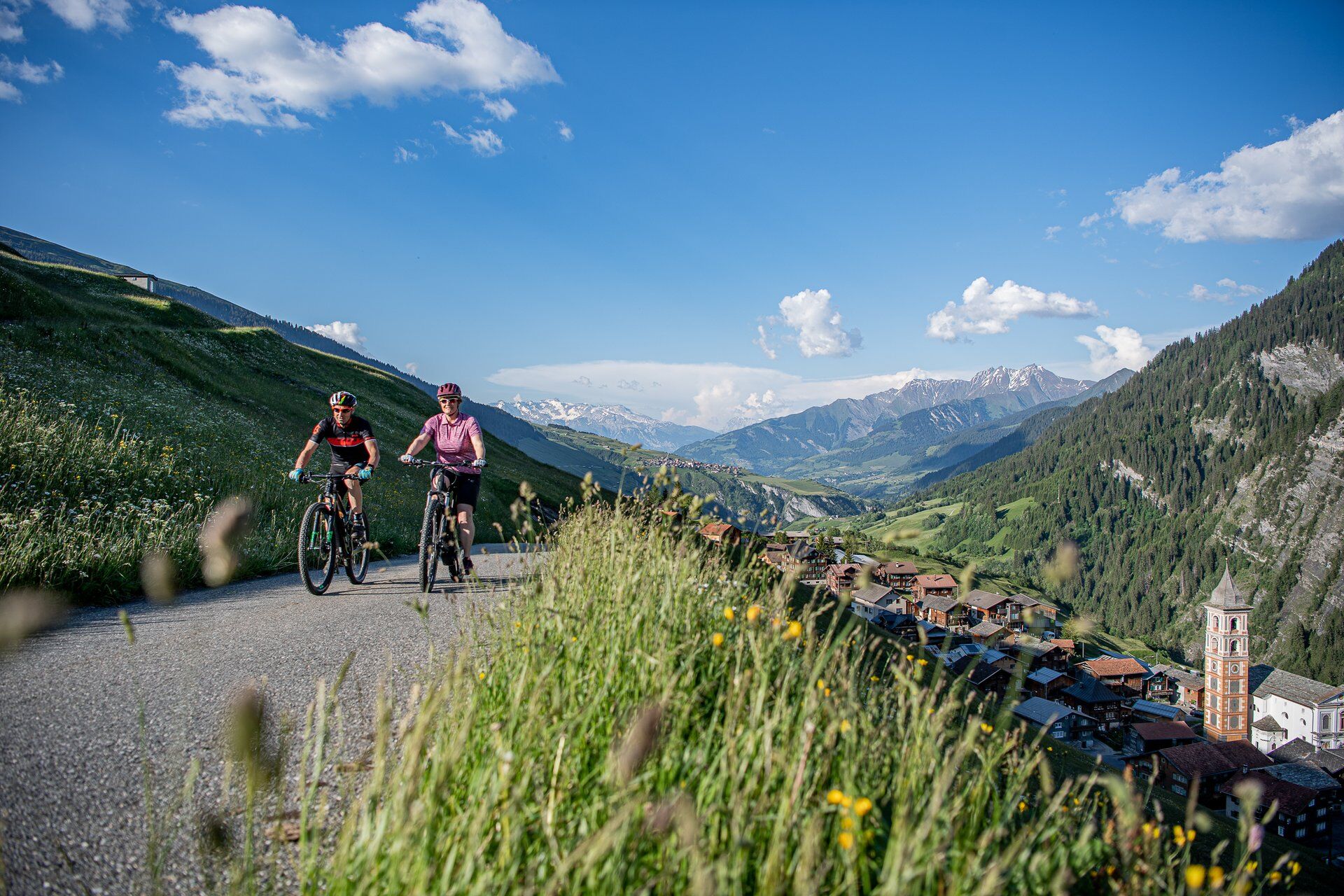
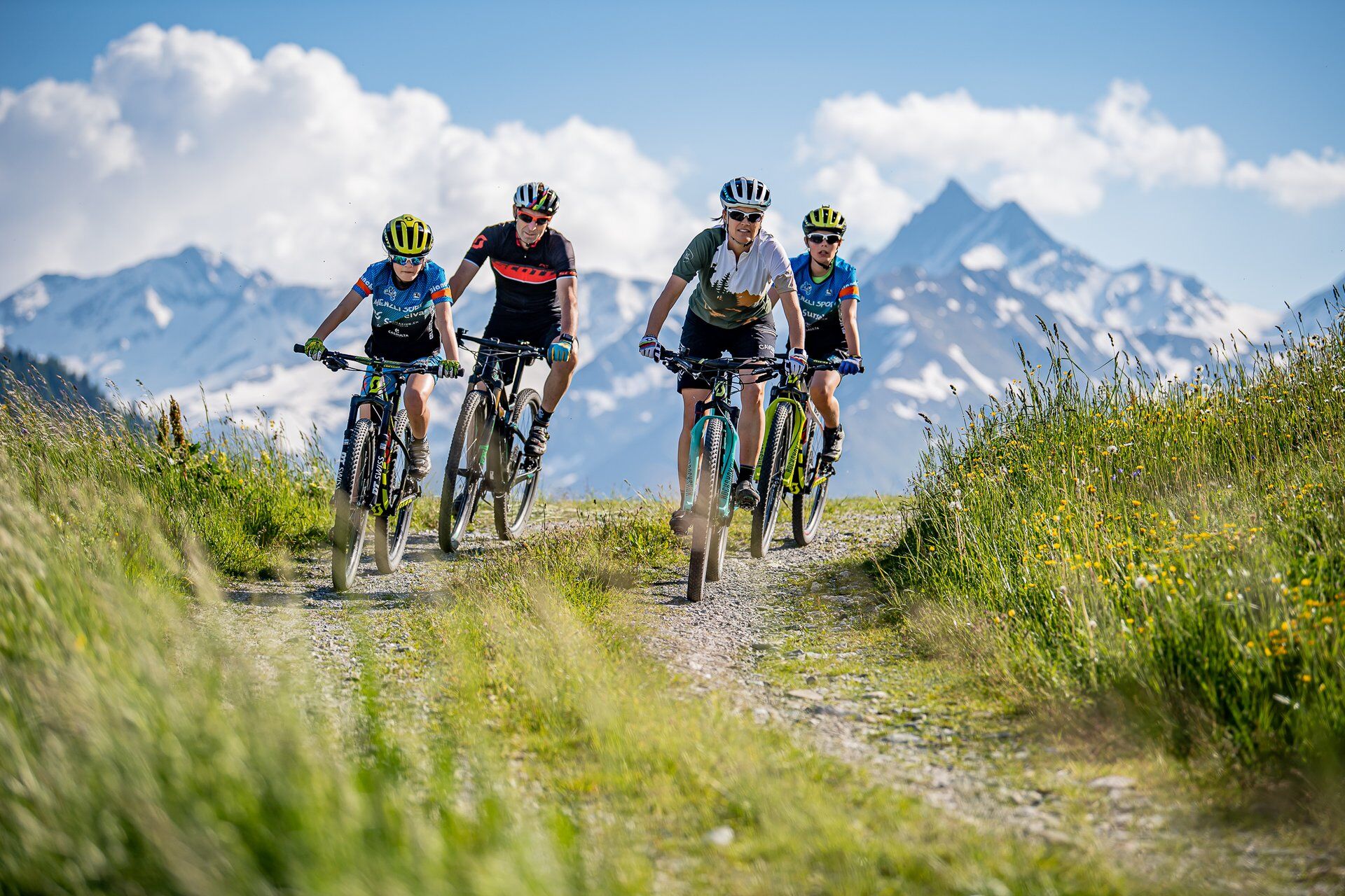
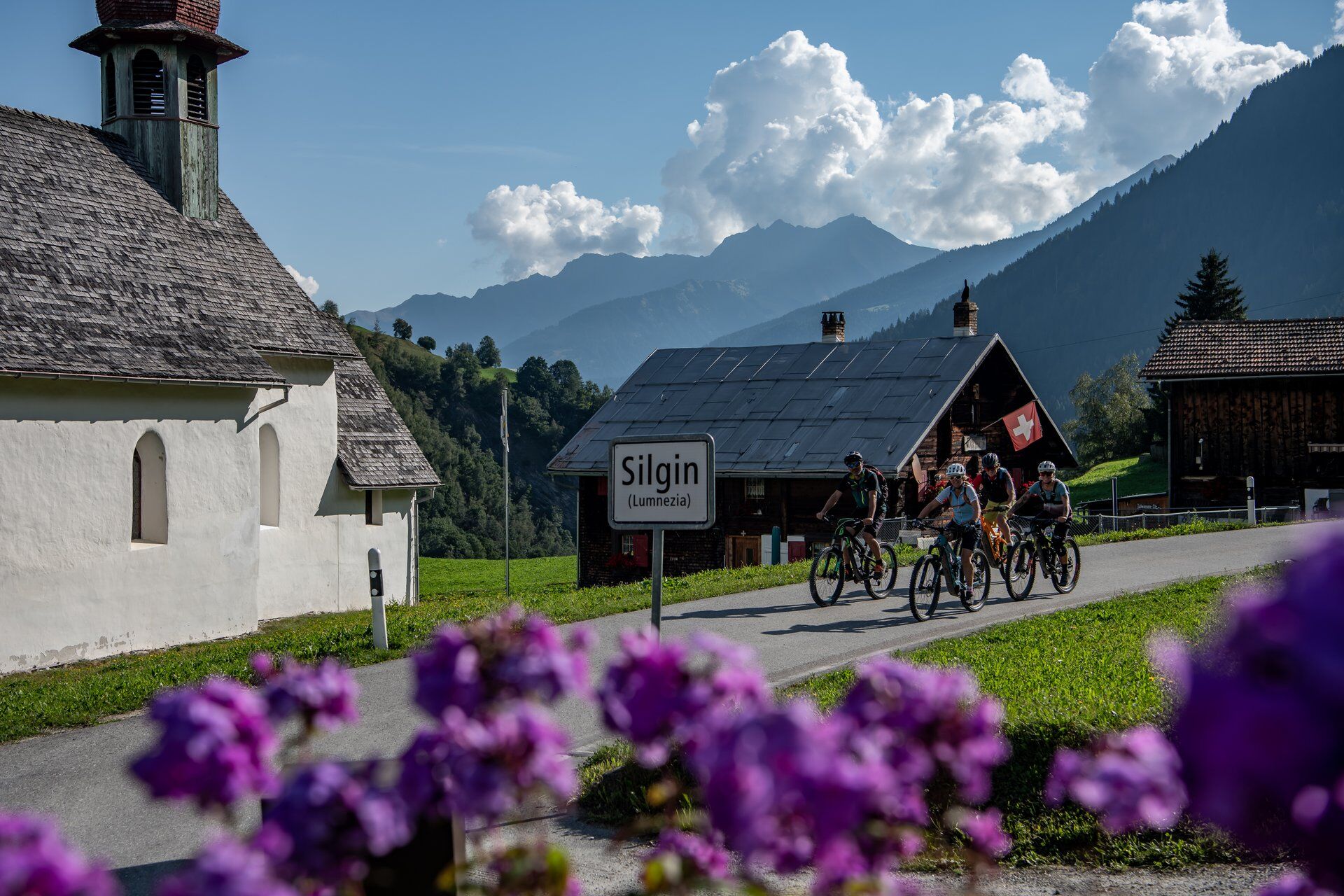
Surselva 4-day round trip by (e)-bike


Photos de nos utilisateurs

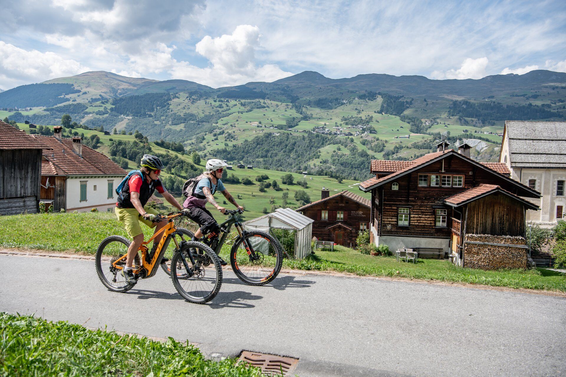
 © Marco AllemannCréé le 10.08.2023
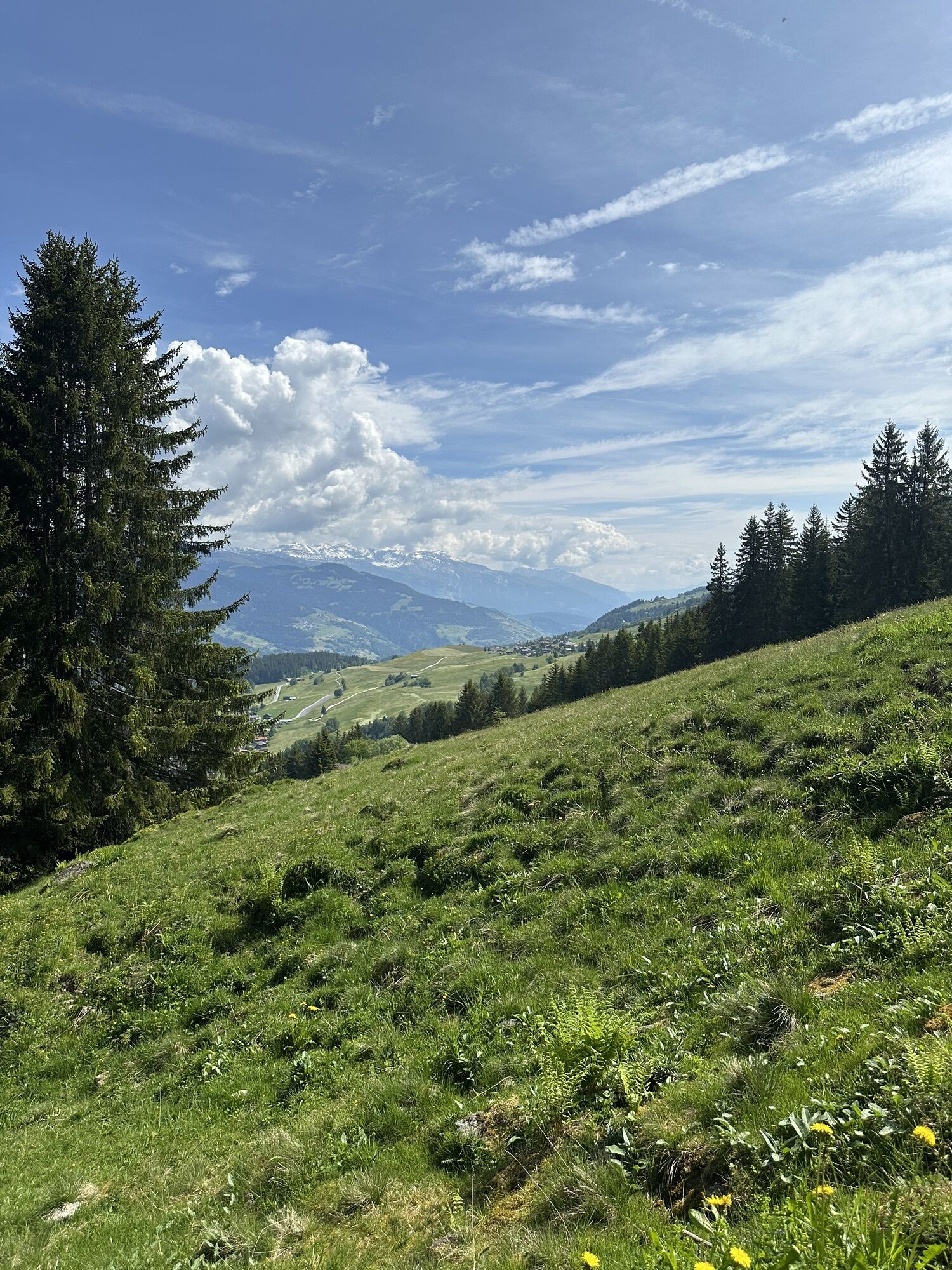
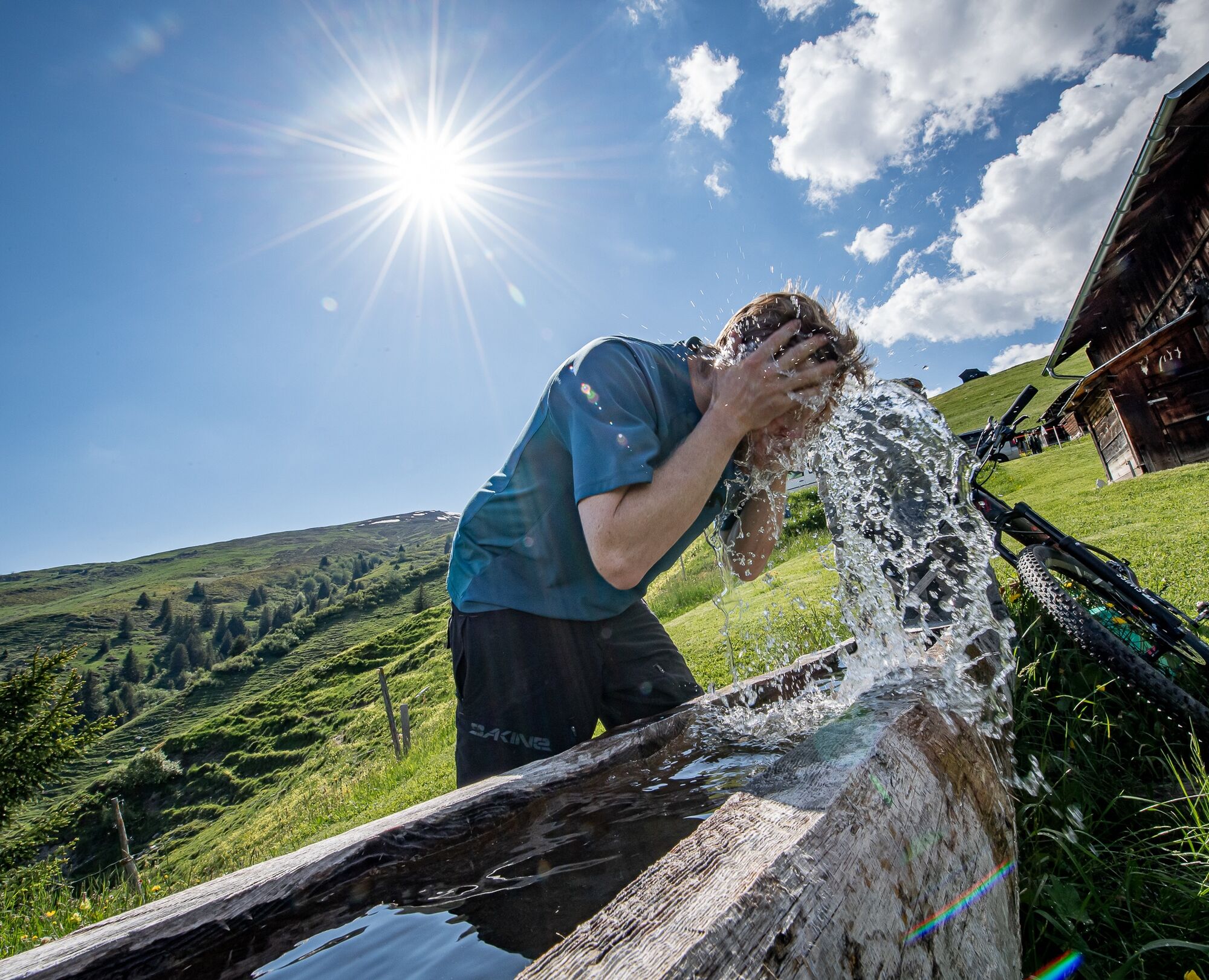
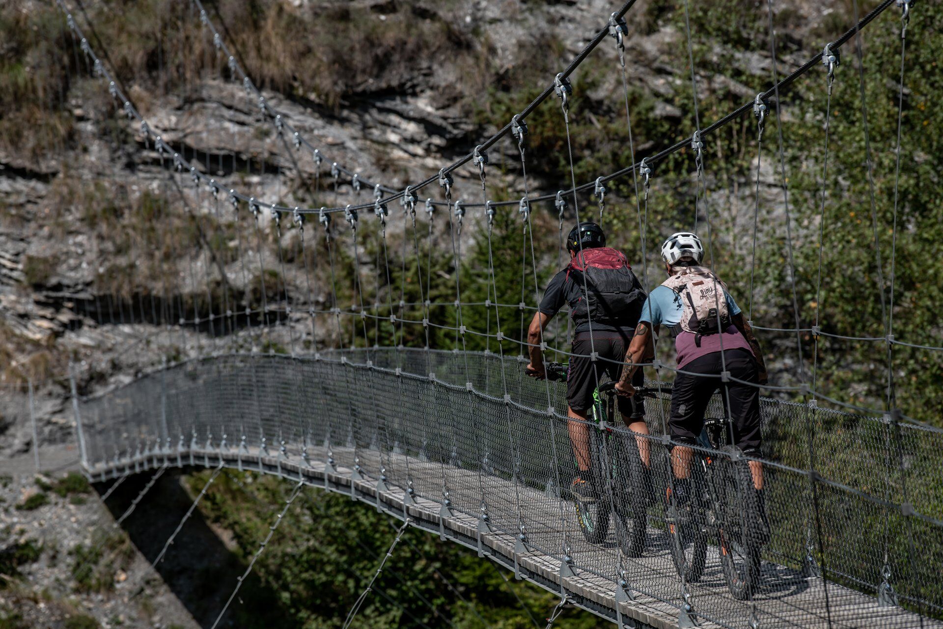
 © Tobias HösliCréé le 01.06.2025
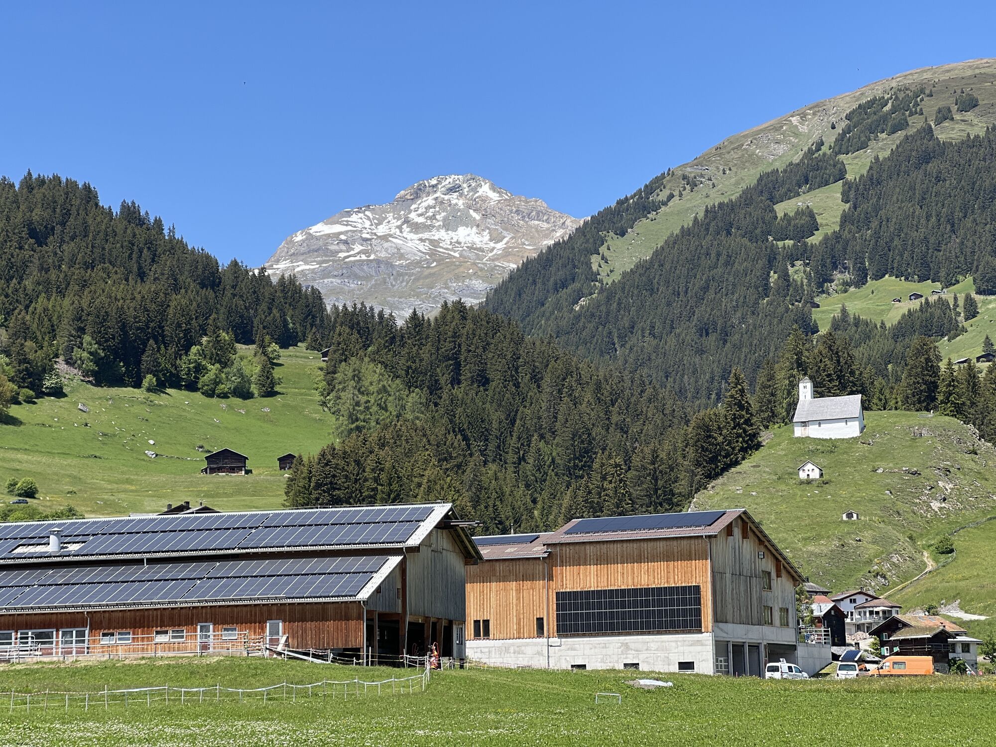
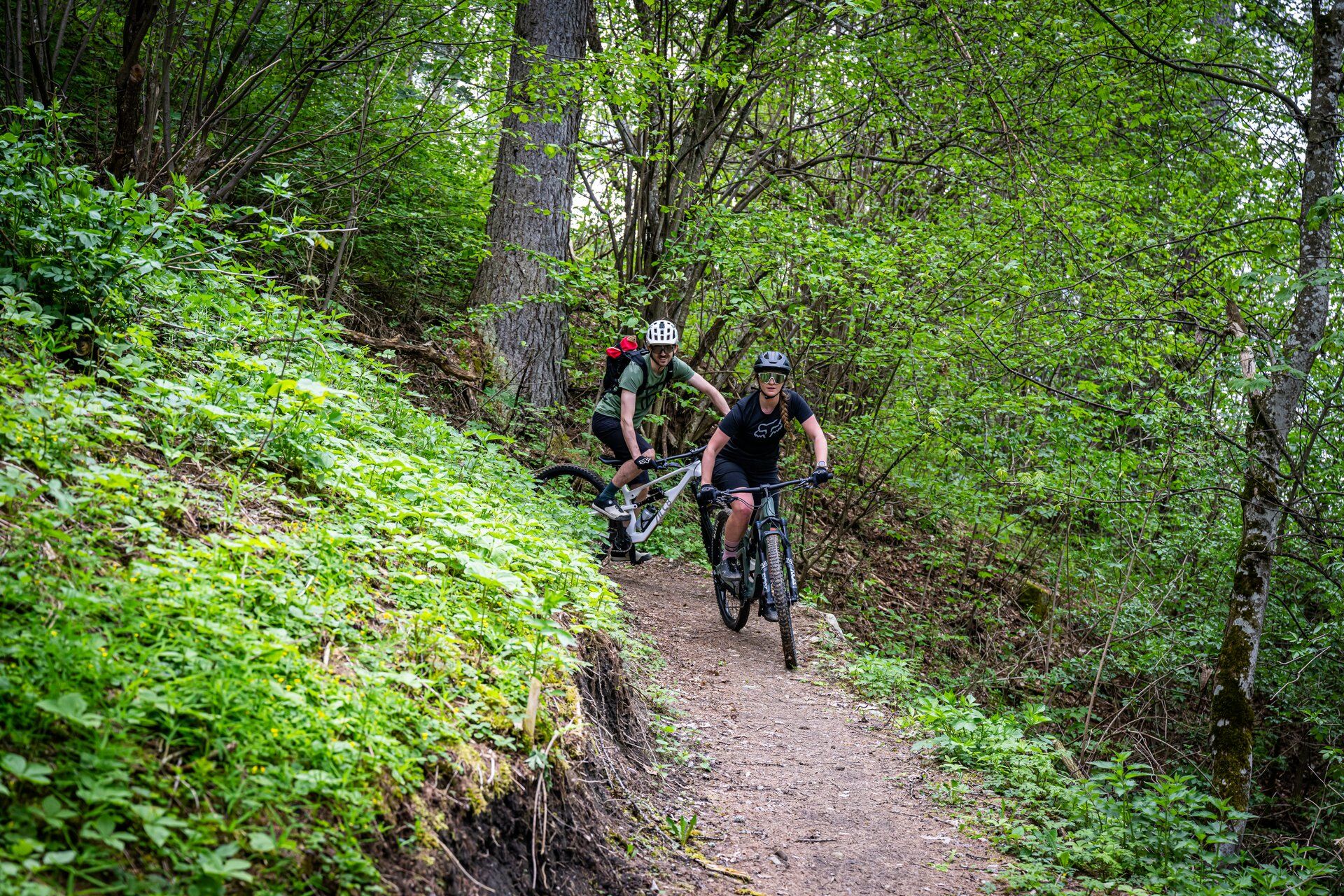
 © Tobias HösliCréé le 01.06.2025
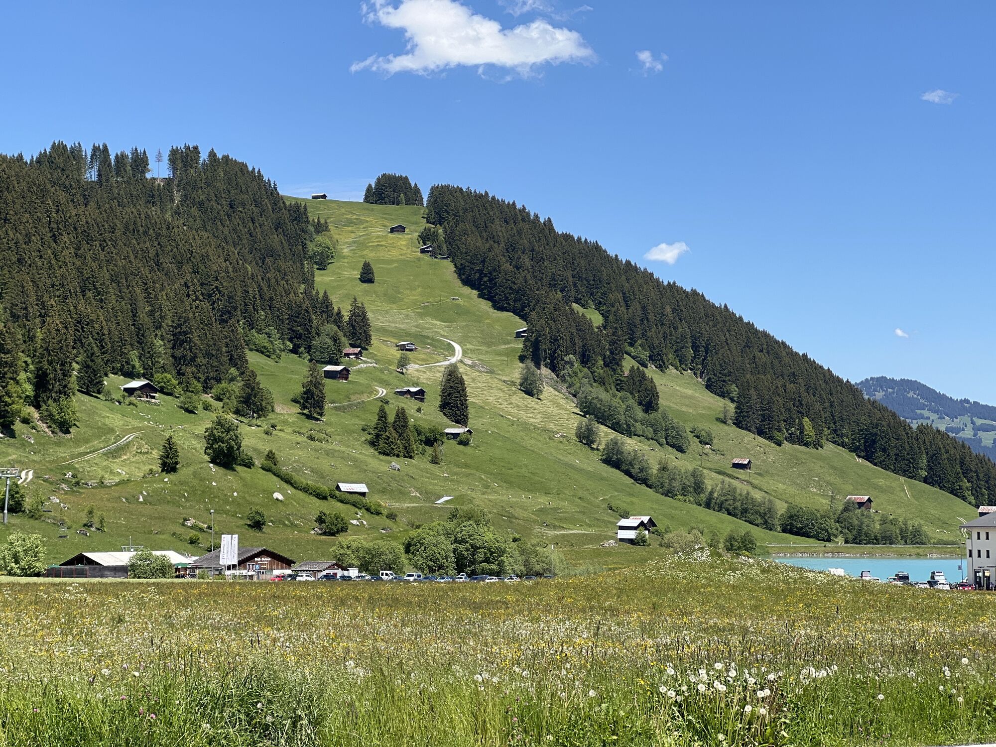
 © Tobias HösliCréé le 01.06.2025
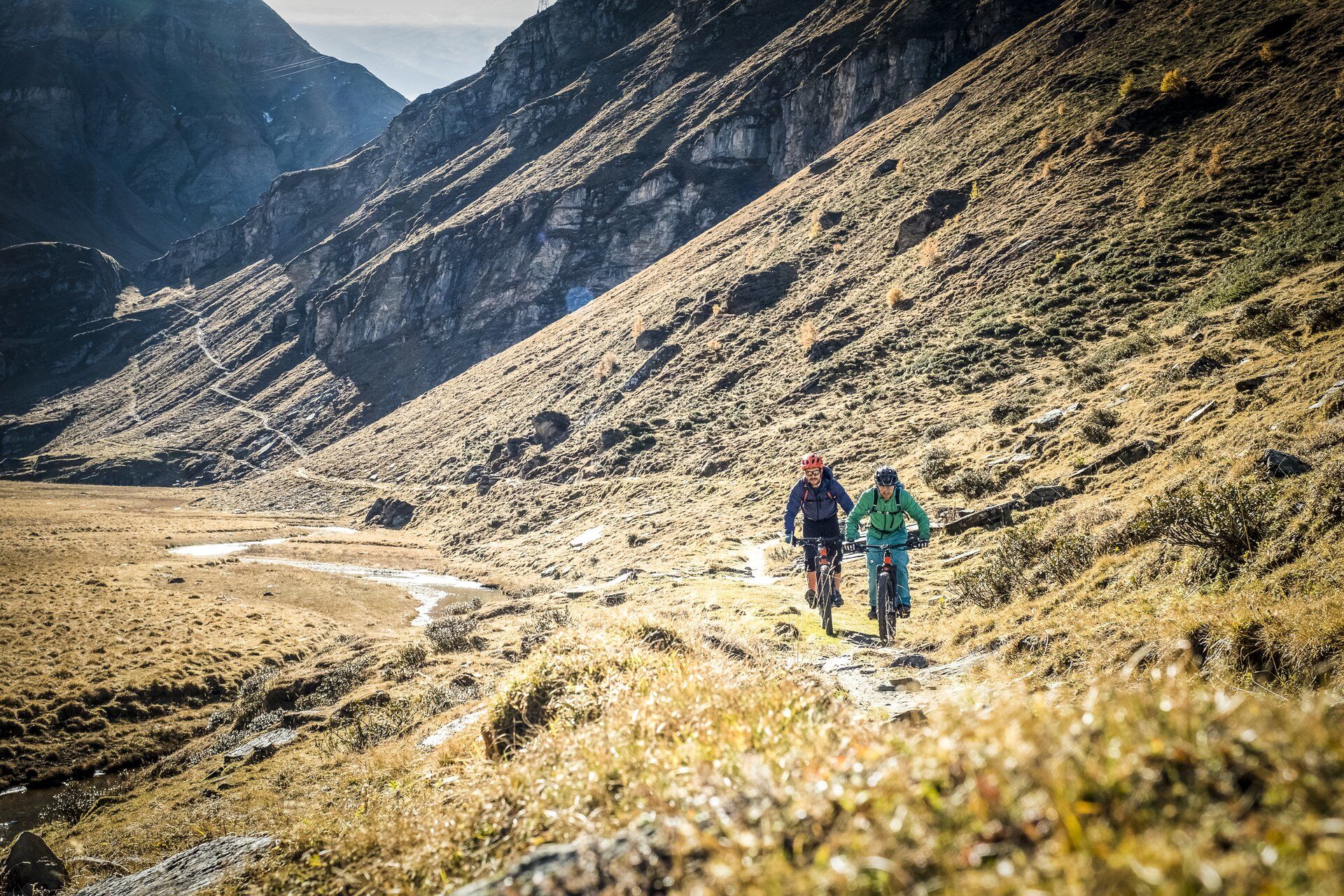
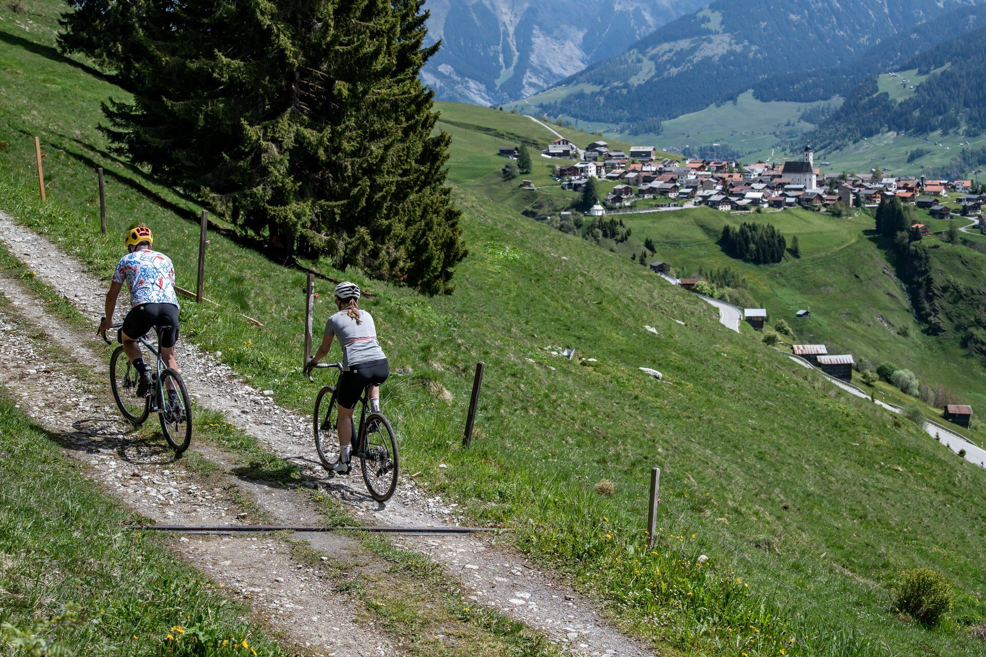
 © Marco AllemannCréé le 31.05.2025
 © Marco AllemannCréé le 31.05.2025
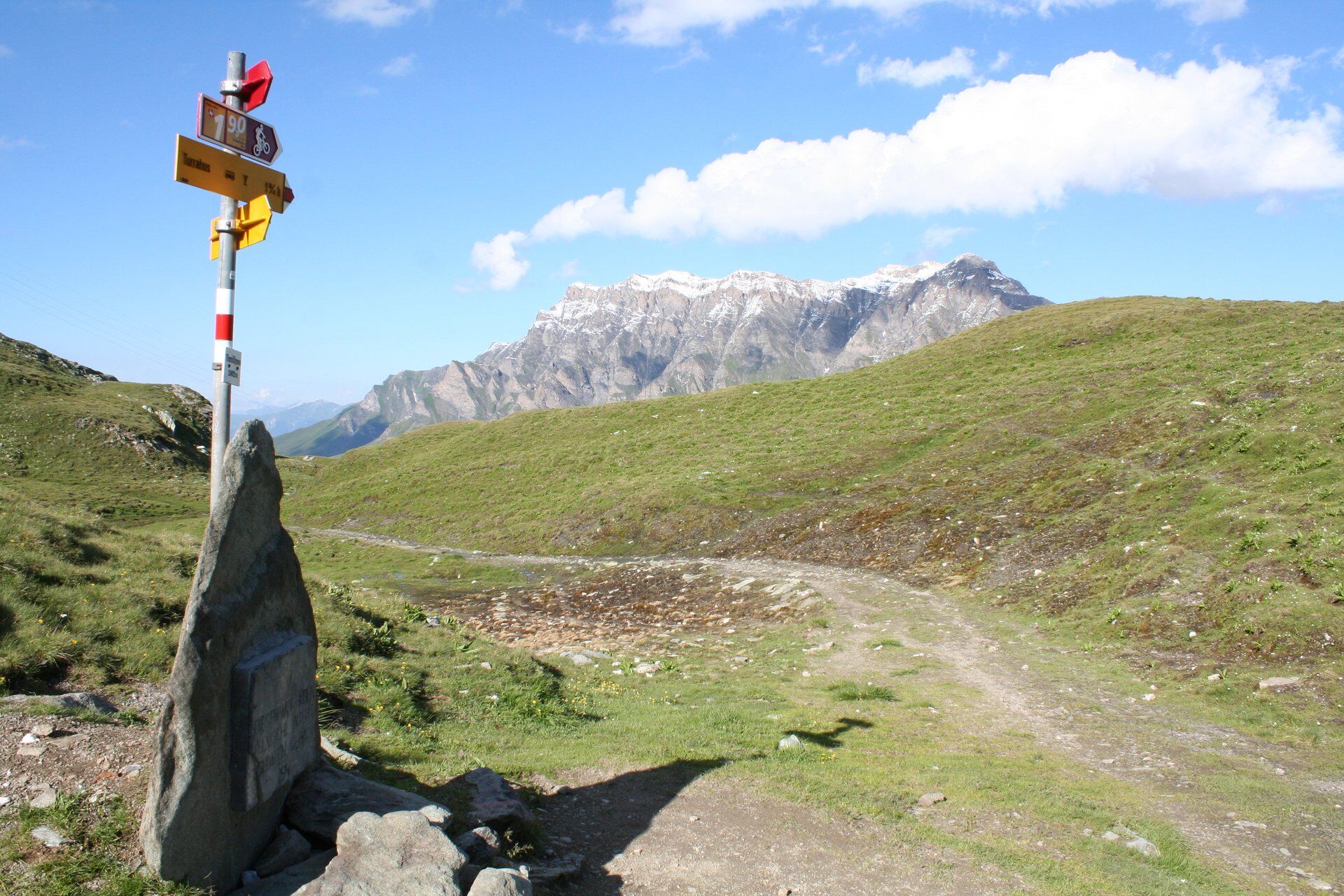
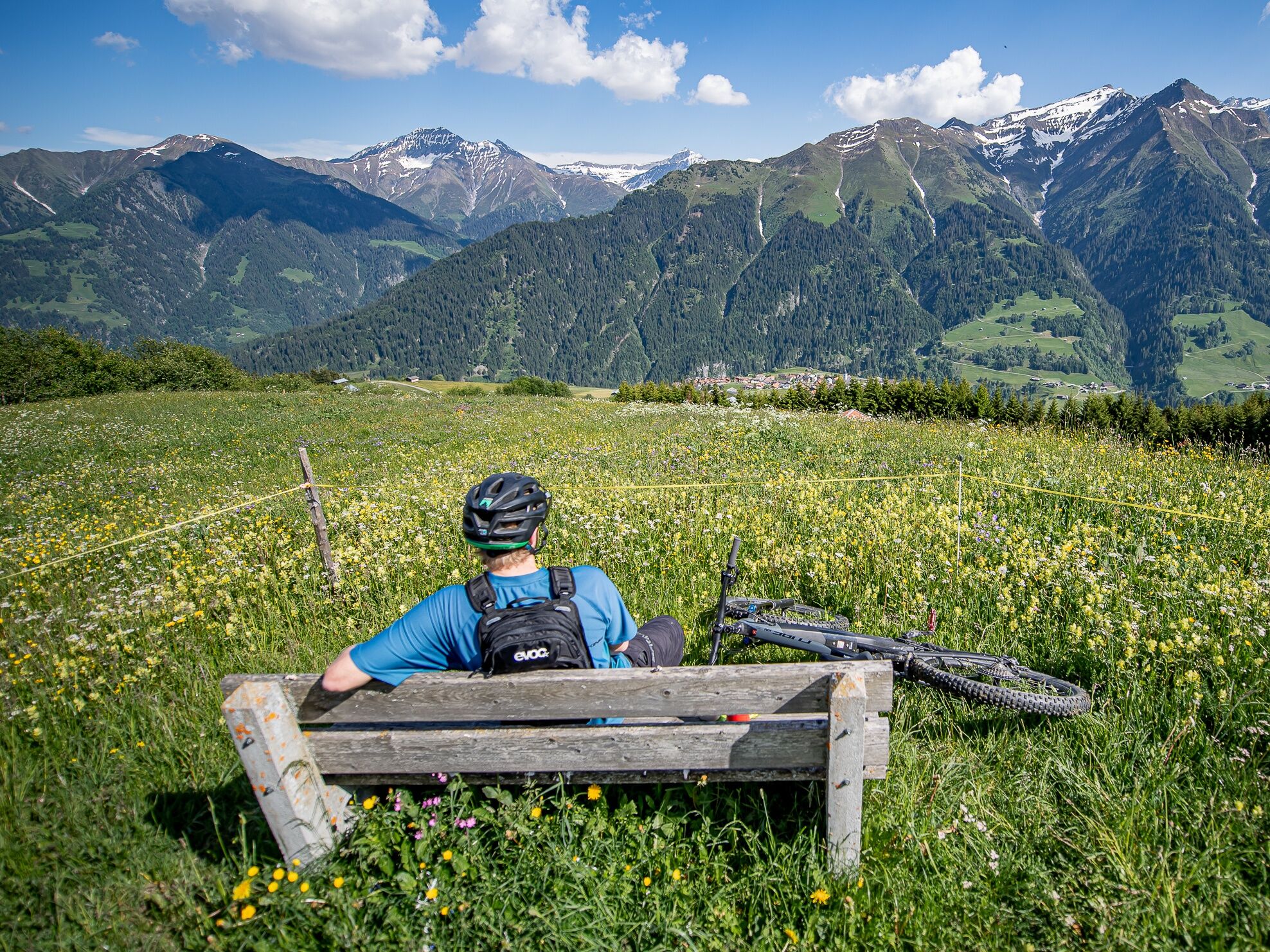
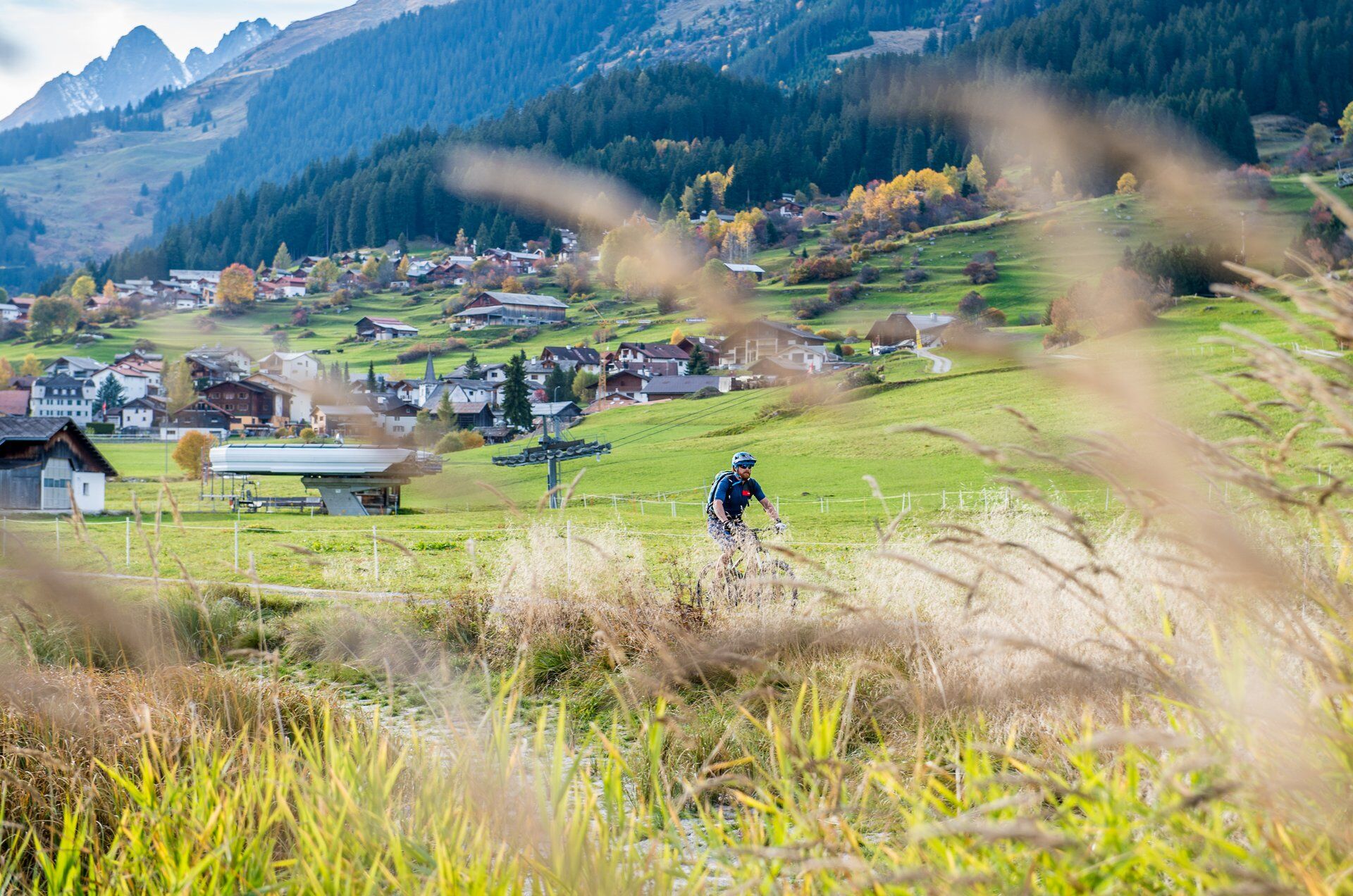
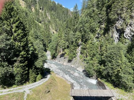 © Marco AllemannCréé le 10.08.2023
 © Marco AllemannCréé le 10.08.2023
 © Marco AllemannCréé le 10.08.2023


Day 1
From Ilanz, the first town on the Rhine, you cycle more or less comfortably along the Rhine gorge to Versam on the first day. Then the long ascent begins along the valley road into the wild and romantic...
From Ilanz, the first town on the Rhine, you cycle more or less comfortably along the Rhine gorge to Versam on the first day. Then the long ascent begins along the valley road into the wild and romantic landscape of the Safiental valley to the stage destination of Thalkirch. Don't forget your bike light on this day. The long tunnel and the two galleries urgently require light.
Day 2
The royal stage is on the program for the second day. It goes straight up steeply to the roof of the tour, the Tomül Pass. After the sometimes challenging (S2) descent to Vals, you can treat yourself to lunch here. Strengthened, you roll along the main road to Uors. Now follows the second ascent of the day into Val Lumnezia via bike routes 1 and 222 to Vrin and onwards along cool trails to the stage destination of Lumbrein.
Day 3
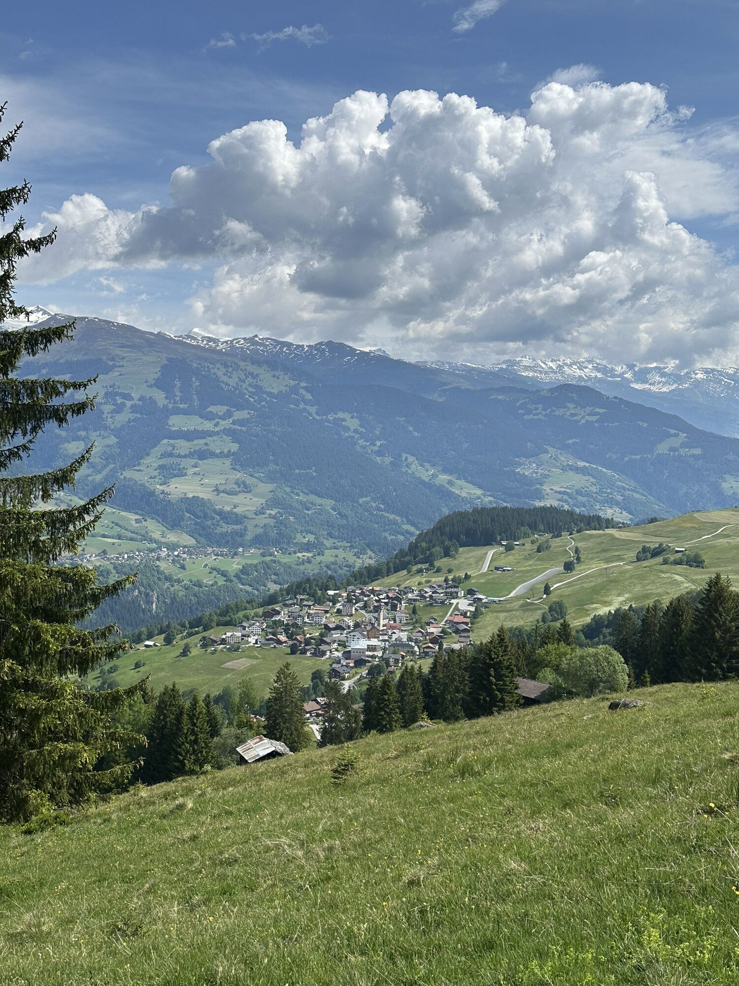
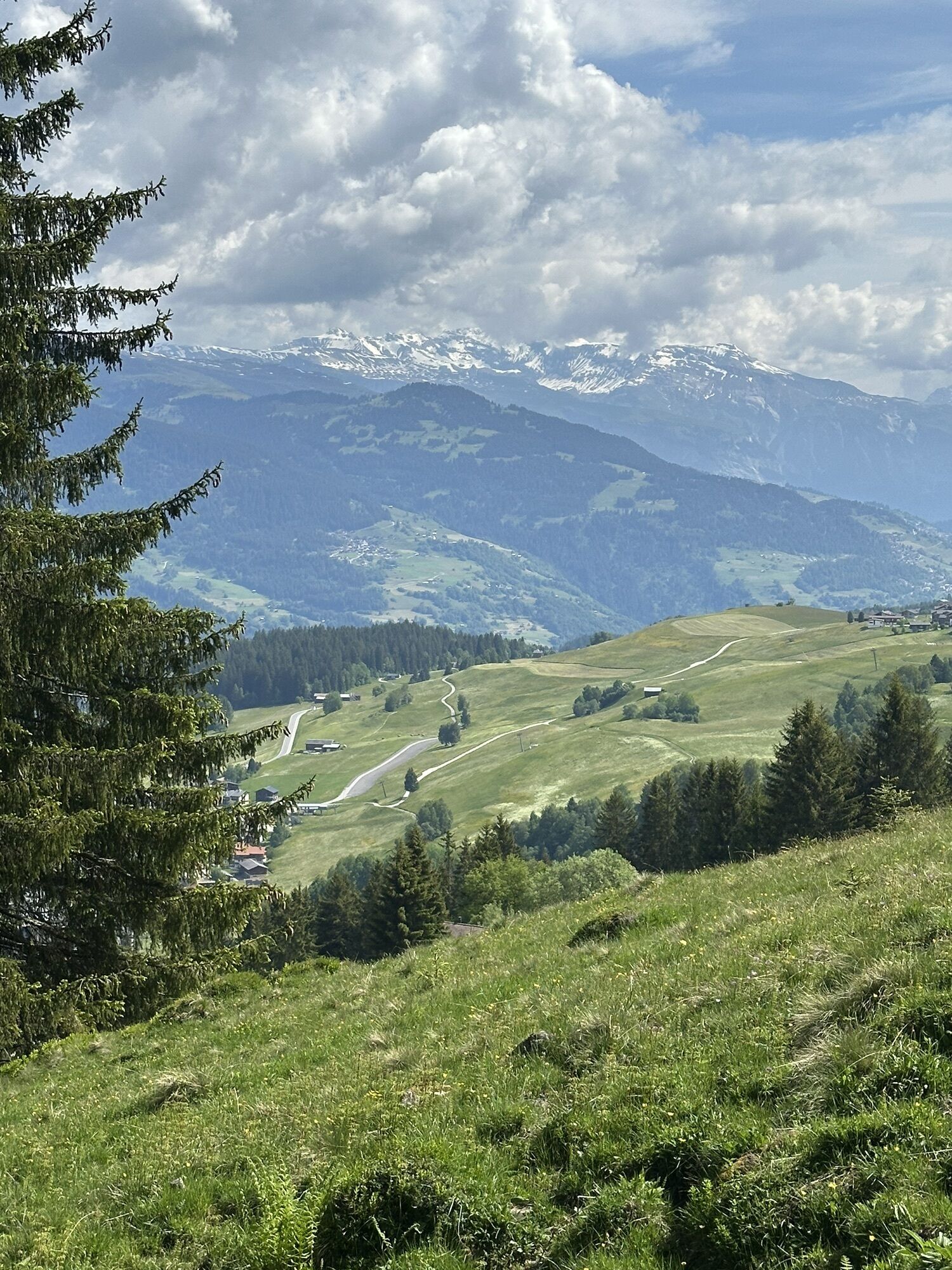
The third day starts again with a climb up to Alp Nova. Unfortunately, rolling in is not on the agenda today. On the other side, however, you are rewarded with a beautiful descent via Obersaxen down to Trun. However, the ascent via Schlans to the stage finish in Brigels again requires a well-filled battery or strong calves.
Day 4
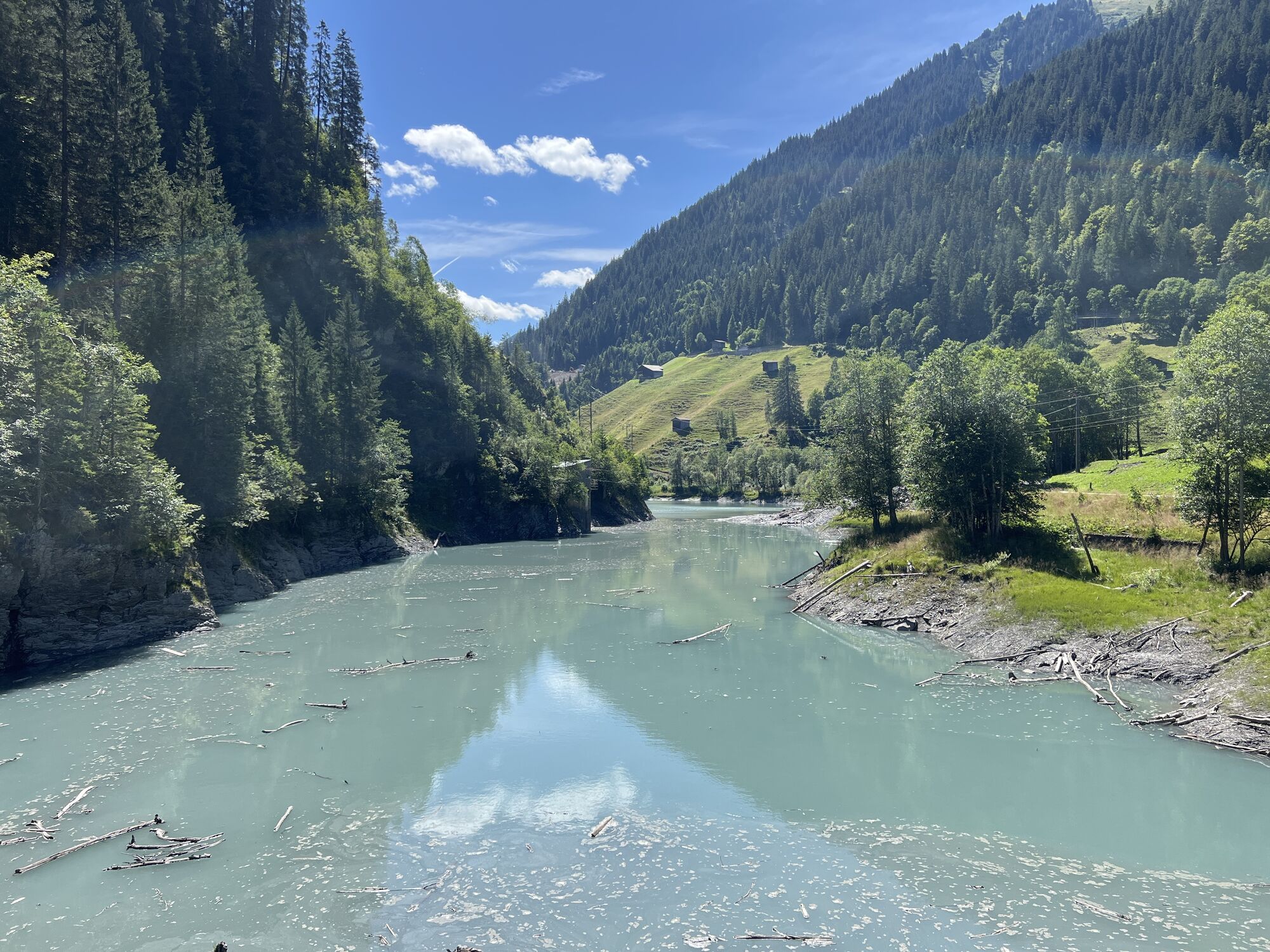
The last day scores above all with downhill meters instead of altitude meters. First you ride via Andiast to the Lag da Pigniu reservoir with its fantastic waterfalls at the far end. Then you ride via Pigniu to Siat and on to Ruschein. Enjoy the view for the last time and then head into the final descent back to the starting point of this 4-day tour in Ilanz. If you still haven't had enough, spend the night in the lively little town and go on more beautiful bike tours or hike through the Rhine Gorge, the Grand Canyon of Switzerland.


A large part of this route follows the signposted mountain bike route “90 Graubünden Bike” (from Safien Platz - Ruschein). Additional trails can be ridden in places or the road can be used to make things easier. Check the map from time to time during the ride.
Stage 1: Ilanz railroad station - Mulin Sut - Castrisch-Schluein bridge - Schluein - Sagogn - Valendas railroad station - Valendas village - Carrera - Versam - Safien Platz - Safien Thalkirch
1800 hm, 880 tm, 42 km
Stage 2: Thalkirch - Tomülpass - Alp Tomül - Schindlabüdemli (see trail variant from here on under the author's tip) - Vals - Uors - Surcasti - Silgin - Surin - Vrin - Vallargia - Lumbrein
1800 hm, 2100 tm, 48 km
Stage 3: Lumbrein - Alp Sezner - Alp Nova - Alp Prada (see from here on trail variant under author's tip) - Alp Stavonas Sura - Wali - Sassli - St. Martin - Hanschahüs - Zignau - Trun - Schlans - Plaun da Plaids - Brigels.
1600 hm, 1800 tm, 38 km
Stage 4: Brigels - Waltensburg - Andiast - Lag da Pigniu - Pigniu - Sogn Francestg - Dalpaleus- Siat - Mulin - Ruschein (see from here on trail variant under author's tip) - Tischinas - Schnaus - Ilanz.
800 hm, 1400 tm, 31 km
Oui
E-MTB, helmet, bike gloves, bike shoes, goggles, rain and sun protection, drink, repair kit, first aid kit.
Are you traveling with an e-bike? There are various e-mountain bike charging stations along the route where you can recharge your battery.
Please note! It is possible that your charging cable is missing, stolen or defective. If you want to be on the safe side, we recommend that you take your own charging cable with you. Each charging station also has a normal (CH) 3-way socket.
The tour should not be undertaken in uncertain weather conditions. Weather changes are frequent in the mountains. If a rain front or similar is approaching during the hike, you should turn back in good time.
144 Emergency call, first aid
1414 Mountain rescue REGA
112 International emergency call
Take the A13 to Reichenau, then the main road via Flims or Bonaduz (narrow road in places) and to Ilanz.
From the Grisons cantonal capital of Chur, the Rhaetian Railway takes just 36 minutes through the spectacular Rhine Gorge to Ilanz station.
Parking is available in Ilanz at the train station or in the surrounding area.
All information about luggage transportation can be found here
Please ask Eurotrek about the partner hotels at the respective stage locations. There is no guarantee that a service will be available.
This is not a tour that can be booked as a package. You must book the hotels and any luggage transportation yourself. However, we will be happy to help you with the organization: Information offices of Surselva Tourism
Filter the respective stage location here and find the right hotel.
Variants
Day 1
From Carrera, you can also take the road to the Bärgli gravel works. Here the route follows the trail (S2).
Day 2
Departure Tomülpass - Vals: After Schnidlabüdemli, take the hiking trail to Vals. This is quite rough in places (S2-3). However, you can always switch back to the road. If you have strong calves - or enough battery - you can ride to the village of Tersnaus and cruise down to Peiden Bad on the new SwitzerlandMobility 222 Nino Schurter Bike. Officially in the opposite direction, but this is no problem if you ride carefully. Then take the main road back to the route to Uors. After Surin, you can take the shortcut directly via the road (up and down) to the stage finish in Lumbrein.
Day 3
From Sassli you can recharge your batteries at the Wali mountain restaurant. Please note: the restaurant is closed for renovation in 2024.
Day 4
Departure Ruschein - Ilanz: Take the road to Ilanz. However, the trail is mostly easy to ride (S2).
Webcams de la tournée
Piz Mundaun - Obersaxen
Vals Dorf
Caumasee
Alp Dado
Obergmeind Tschappina
Talstation Flims
Rockresort Laax
Piz Mundaun - Obersaxen
Berggasthaus Beverin / Glaspass
Berggasthaus Beverin / Glaspass
Alp Dado
Alp Dado
Untermatt Bergstation
Untermatt Bergstation
Untermatt Bergstation
Untermatt Bergstation
Untermatt Bergstation
Obergmeind Tschappina
Pradas Resort
Pradas Resort
Brün
Davos Munts
Camuns
Alp Dado
Alp Dado
Alp Dado
Alp Dado
Ladir
Ladir
Flims Rens
Trin Loipe
Sagogn Loipe
Rheinschlucht Conn
Brigels - Fil
Burleun Bergrestaurant
Laax Murschetg Cassons Grat
Laax See
Laax Murschetg Cassons Grat
Vals - Zervreila
Vals Gadastatt
Parcours populaires à proximité
- 4,7
Rheinschlucht Wanderung: Senda Ruinaulta (659)
facileRandonnée9,39 km - 4,8
Rheinschlucht: Von Ilanz nach Versam ins Herz der Rheinschlucht
moyenRandonnée11,4 km - 5,0
Kistenpasshütte-Breil/Brigels
moyenRandonnée13,7 km - 5,0
211: Around the Mundaun Bike
moyenVTT34,1 km - 5,0
222 Nino Schurter Bike
moyenVTT35,2 km - 4,0
Circular hike Surcuolm - Bündner Rigi - Piz Mundaun - Cuolm Sura - Surcuolm
moyenRandonnée14,1 km - 4,7
Trailrun: Pigniu - Panixersee - Pigniu
moyenTrail running8,32 km Lag da Pigniu: an enjoyable circular hike
moyenRandonnée8,81 km- 4,5
Summit tour from Surcuolm to Piz Mundaun
difficileRandonnée11,6 km - 5,0
224 Gneida Bike
moyenVTT21,7 km
Randonnée et suivi


Ne manquez pas les offres et l'inspiration pour vos prochaines vacances
Votre adresse électronique a été ajouté à la liste de diffusion.