Bonaduzer Wald (256)
facile
VTT
Naviguer
Naviguer
Télécharge cette visite sur ton portable
Carte
Bonaduzer Wald (256)
facile
VTT
13,21 km
Scanner le code QR et commencer la navigation dans l'application bergfex
QR Code
Randonnée & tracking
Téléchargement pour iOS
Téléchargement pour Android

Bonaduzer Wald (256)

Distance
13,21 km
Durée
01:30 h
Ascension
299 m
Altitude
656 - 944 m
Téléchargement de la piste
Carte
Bonaduzer Wald (256)
facile
VTT
13,21 km

Photos de nos utilisateurs

The best place to start this mountain bike tour is in the village of Bonaduz, which together with Rhäzüns forms an actual high plateau. Bonaduz is also the gateway to the Rhine Gorge natural monument....


Description

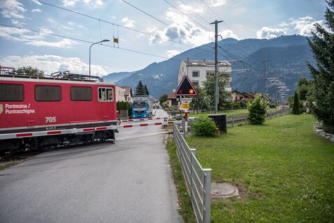
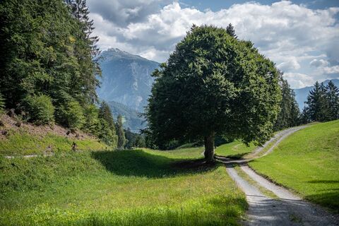
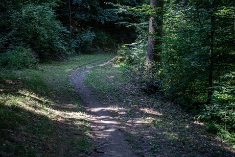
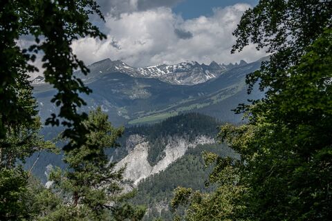
The best place to start this mountain bike tour is in the village of Bonaduz, which together with Rhäzüns forms an actual high plateau. Bonaduz is also the gateway to the Rhine Gorge natural monument. After you have crossed the idyllic forest landscape near Bonaduz on well-maintained forest paths, there follows an ascent on a road with little traffic, which leads to Sigl Ault with a view. A single trail soon awaits you, leading smoothly down to the panoramic road above the Rhine Gorge. The "Ruinaulta", as the gorge is called in Romansh, is one of the most magnificent and diverse landscapes in the Alps, created 10,000 years ago by a landslide. You now follow this gorge with a magnificent view, past the "Zault" viewing platform (a photo stop is recommended), before finally diving back into the woods and returning to Bonaduz on extensive forest paths.

Description

Snowline map  

While at higher altitudes there is at best already snow, the trails in the valley are still free of snow. Our interactive snow depth map helps you to plan your tour. Here you can see at a glance at www.flims.com/schneesituation where you can already expect snow on the paths and trails and where you can still be on the road without getting cold feet. 


This tour opens up a magnificent view of the imposing Rhine Gorge. From Bonaduz, the route leads through beautiful forest paths into the Rhine Gorge and back again.

Technique
2 / 6
Endurance
2 / 6
Paysage
4 / 6
Expérience
5 / 6
Meilleure période de l'année
Jan
Fév
Mar
Avr
Mai
Jun
Jul
Aoû
Sep
Oct
Nov
Déc
Auteur
La visite Bonaduzer Wald (256) est fournie par outdooractive.com.
Logo
Partager la visite
Carte
Bonaduzer Wald (256)
facile
VTT
13,21 km
Erreur
Une erreur s'est produite. Veuillez réessayer.
Informations sur l'itinéraire
Parcours

Bonaduz - Sigl Ault - Zault - Bonaduz

Circuit à sens unique

Oui

Équipement

Repair and first aid kit belong in the rucksack

Consignes de sécurité

Watch out for hikers. In the canton of Graubünden we share the paths.

Informations sur l'arrivée
Arrivée

By car on the A13 motorway from Zurich to Chur, exit 18 Reichenau

Transports en commun
Stop:

Flims Dorf, mountain railways
By post bus from Chur or the public Flims Laax Falera Shuttle.

Timetable
www.sbb.ch

Parking

You will find parking spaces in Bonaduz at the railway station.

Infos complémentaires & conseils
Informations supplémentaires
App
Inside Laax

- with all tours and information

Conseils

Photo stop at the "Zault" viewing platform

Pas encore d'évaluation
Écrire une évaluation

Les évaluations aident les autres utilisateurs à choisir leur prochaine aventure. Veuillez évaluer uniquement l'excursion, pas la météo ni votre casse-croûte.

Choisissez une des étoiles pour évaluer la visite
Mauvaise visite
Tour faible
Tour moyen
Bonne visite
Excellente visite
bergfex logoObtenez un aperçuToujours en direct avec plus de 9.500 webcams. En tant qu'utilisateur Pro, vous pouvez désormais voir les webcams correspondantes à de nombreuses randonnées dans l'application de randonnées de bergfex. Vous pouvez ainsi voir directement les conditions actuelles.
Randonnée et suivi

Randonnée et suivi

télécharger pour iOStélécharger pour Android
Randonnée et suivi
Plus de 550.000 propositions de circuits, des cartes détaillées et un planificateur d'itinéraire intuitif font de cette application un must pour tous les passionnés de nature.
Randonnée et suivi