


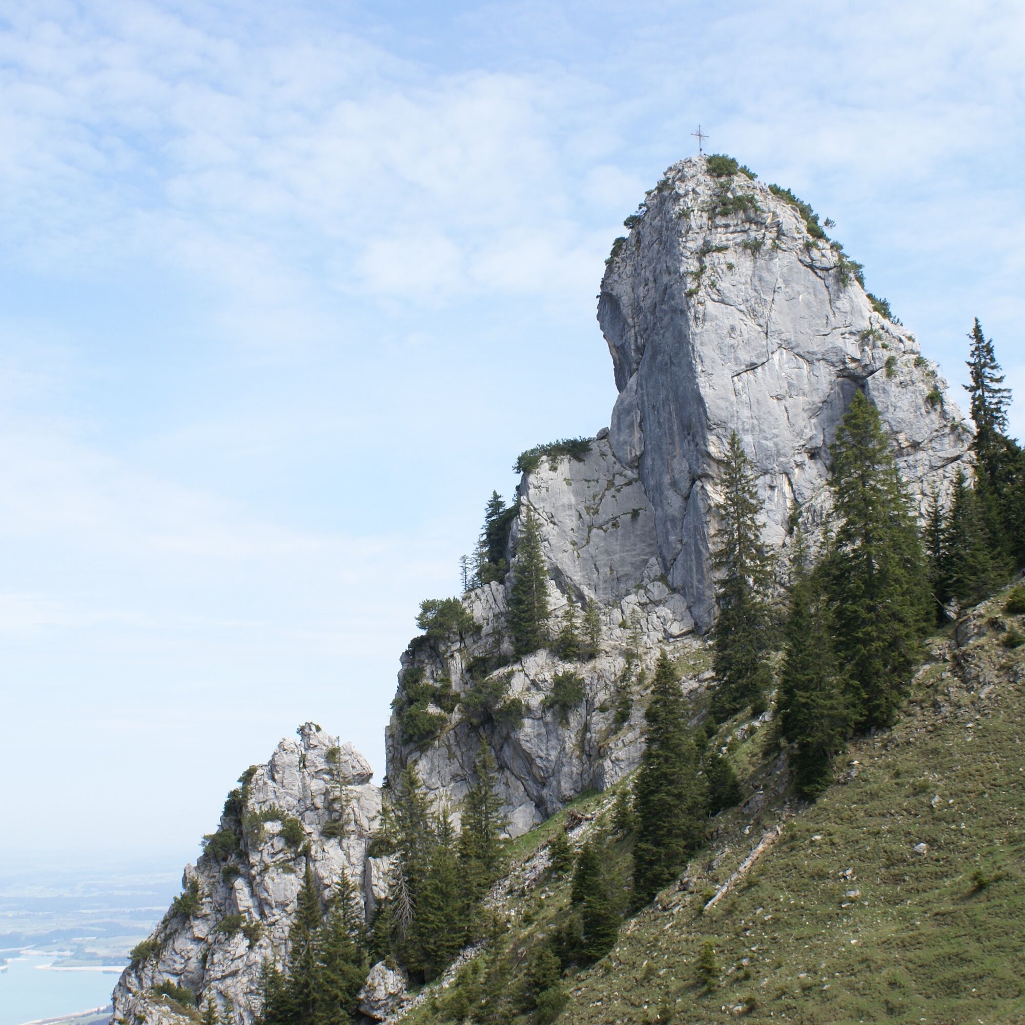
Schönleitenschrofen


Photos de nos utilisateurs
 © Piotr WrzesinskiCréé le 14.02.2024
 © Michael HohlfeldCréé le 29.10.2025
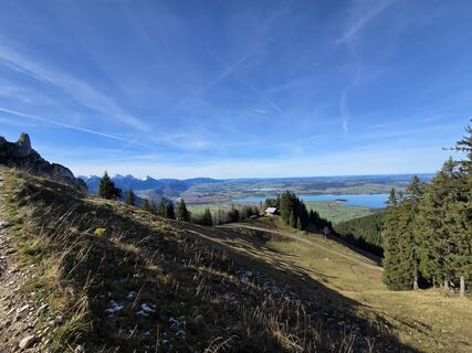 © Michael HohlfeldCréé le 29.10.2025
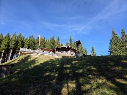 © Michael HohlfeldCréé le 29.10.2025
 © Michael HohlfeldCréé le 29.10.2025
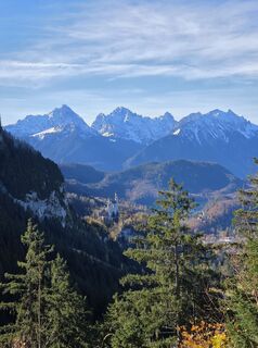 © Michael HohlfeldCréé le 29.10.2025
 © Michael HohlfeldCréé le 29.10.2025
 © henslerCréé le 08.09.2025
 © henslerCréé le 08.09.2025
 © henslerCréé le 08.09.2025
 © Rainer KieningCréé le 04.09.2025
 © Rainer KieningCréé le 04.09.2025
 © Rainer KieningCréé le 04.09.2025
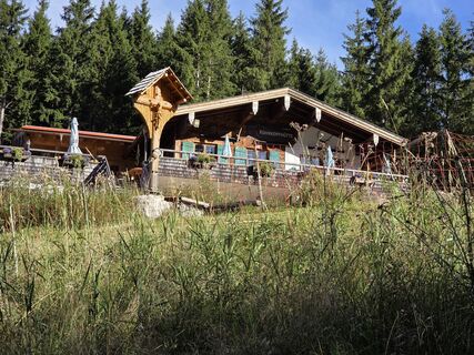 © Rainer KieningCréé le 04.09.2025
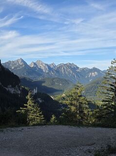 © Rainer KieningCréé le 04.09.2025
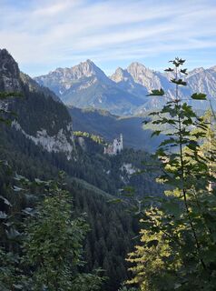 © Rainer KieningCréé le 04.09.2025
 © Lucas P. 1Créé le 18.06.2025
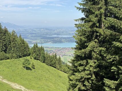 © Lucas P. 1Créé le 18.06.2025
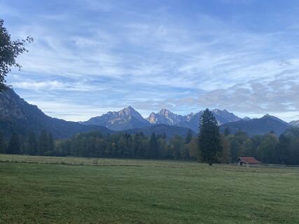
 © MattiCréé le 18.10.2023
 © Elke HafnerCréé le 30.12.2022
 © Elke HafnerCréé le 30.12.2022
 © Elke HafnerCréé le 30.12.2022
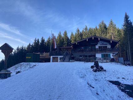 © Elke HafnerCréé le 30.12.2022
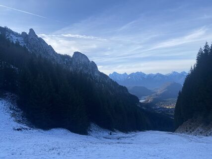 © Elke HafnerCréé le 30.12.2022
 © Elke HafnerCréé le 30.12.2022
 © Elke HafnerCréé le 30.12.2022
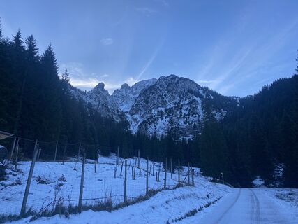 © Elke HafnerCréé le 30.12.2022
 © Elke HafnerCréé le 30.12.2022
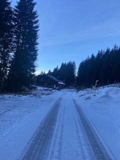 © Elke HafnerCréé le 30.12.2022
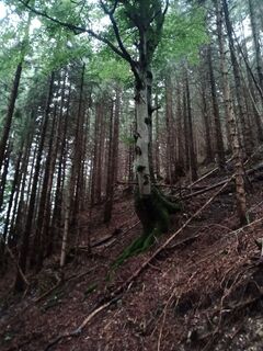
 © Edit SzoboszlayCréé le 08.08.2021
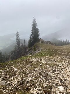
 © Marian RollCréé le 10.05.2023
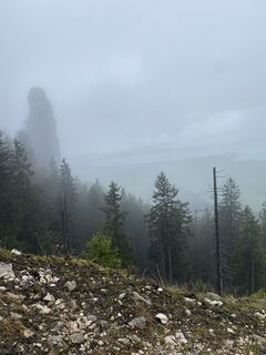 © Marian RollCréé le 10.05.2023
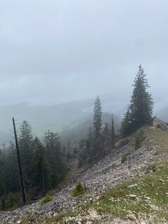 © Marian RollCréé le 10.05.2023
 © Cristian Mario RotaCréé le 20.08.2024
 © Cristian Mario RotaCréé le 20.08.2024
 © Cristian Mario RotaCréé le 20.08.2024
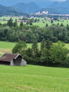 © Cristian Mario RotaCréé le 20.08.2024


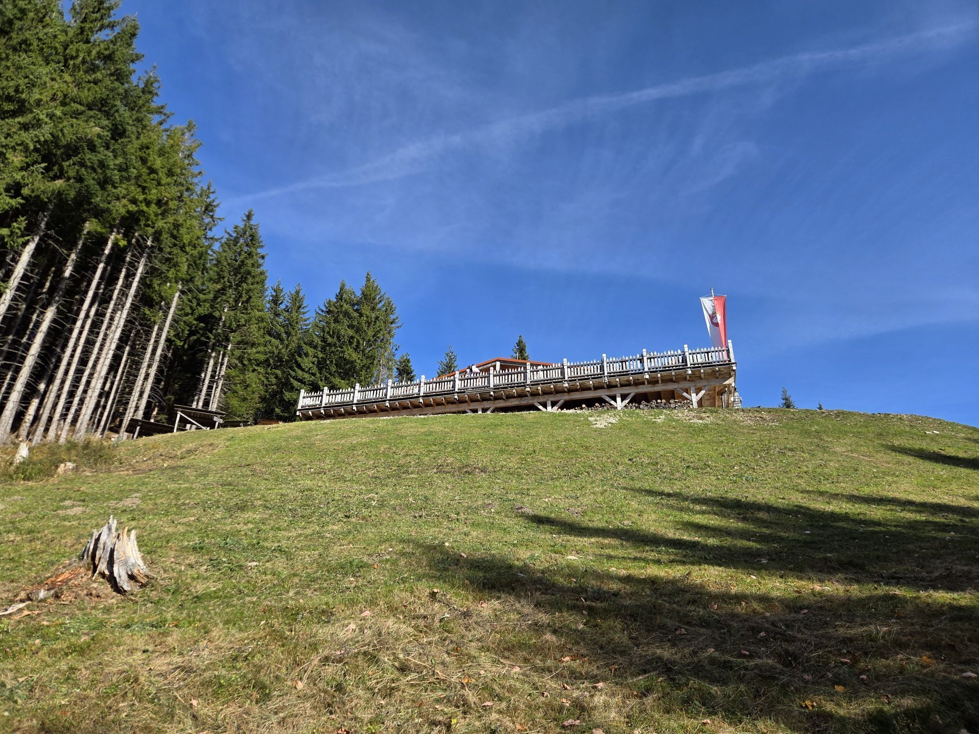


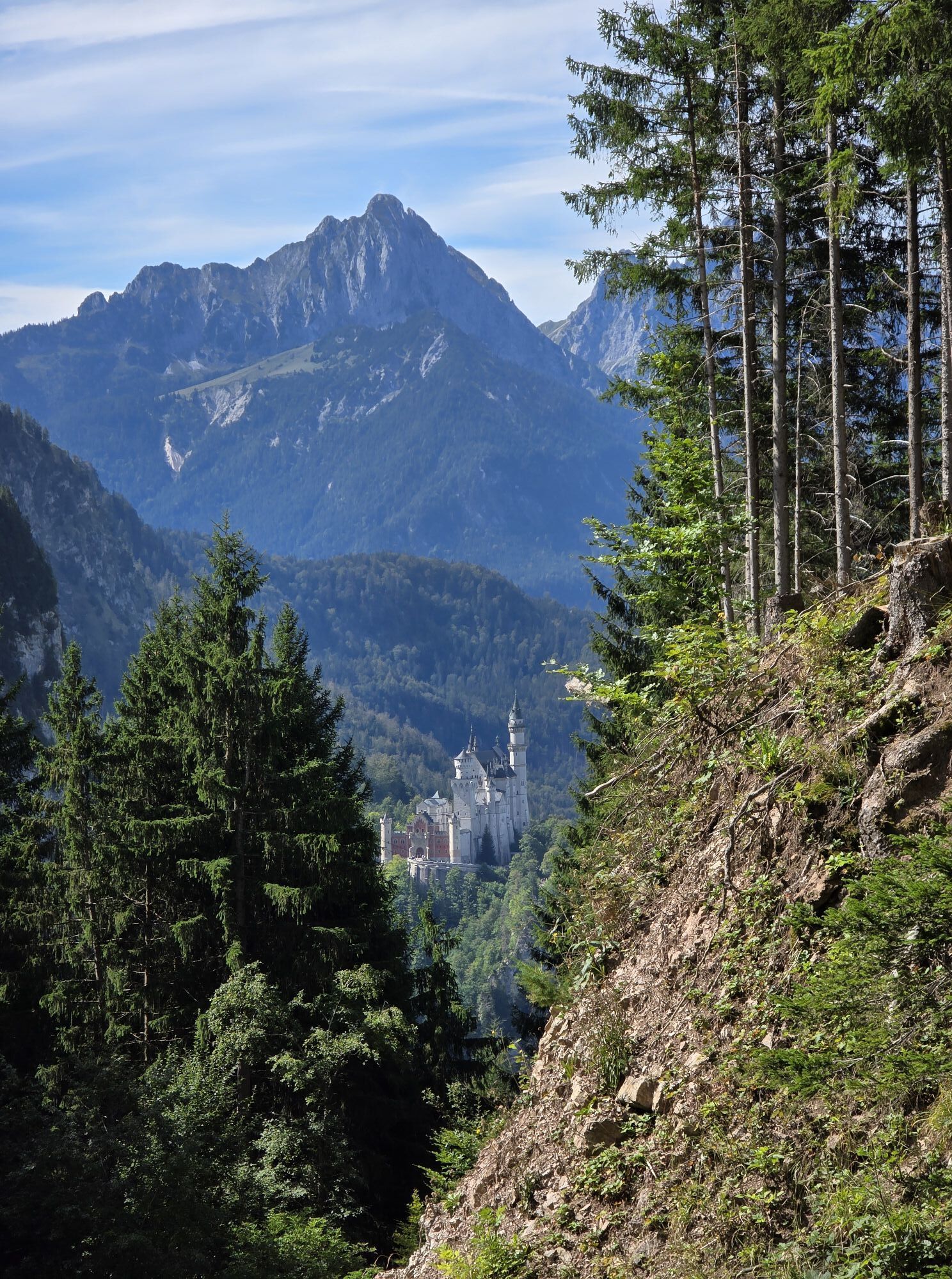

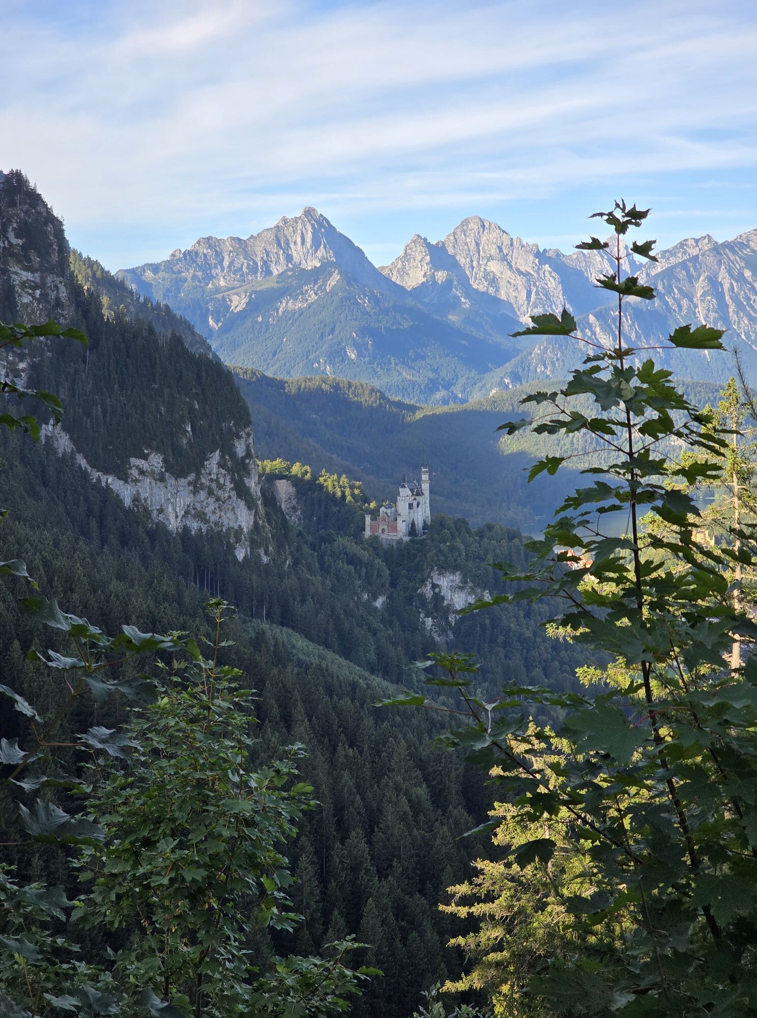


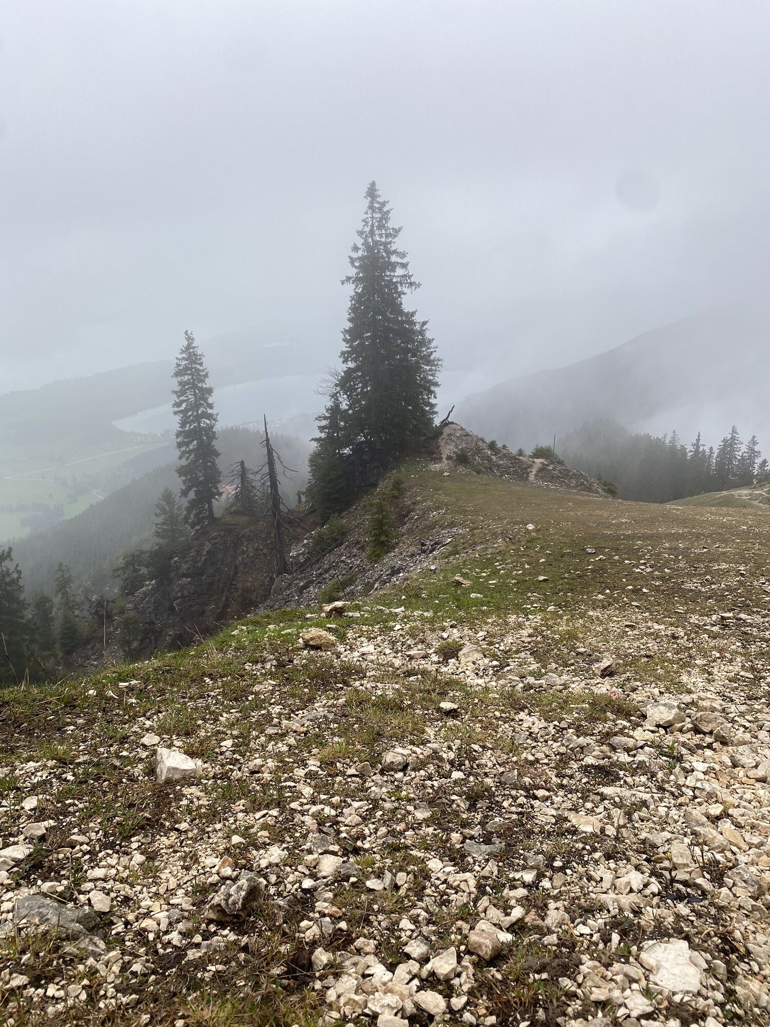


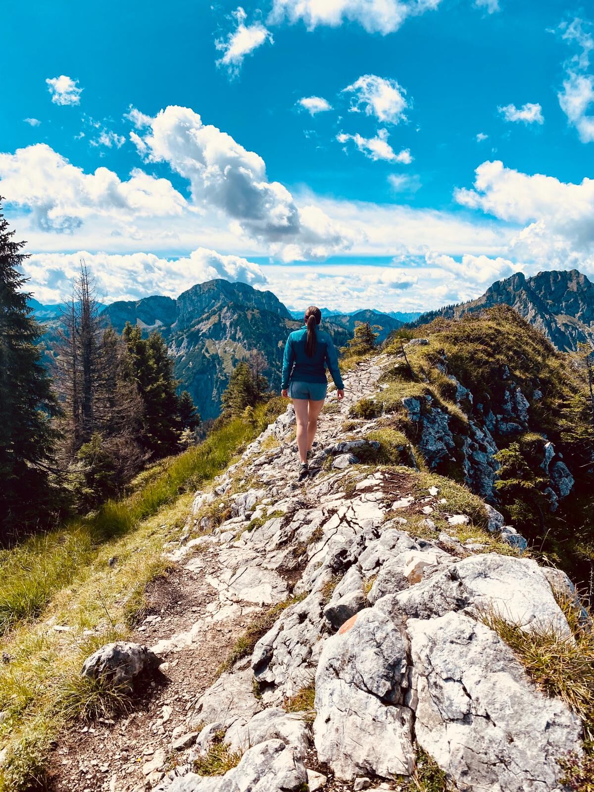
A moderately difficult mountain hike on varied paths with the opportunity to climb three peaks at once. The wild and romantic landscape and the impressive views make this tour a real highlight. Surefootedness...
A moderately difficult mountain hike on varied paths with the opportunity to climb three peaks at once. The wild and romantic landscape and the impressive views make this tour a real highlight. Surefootedness and a head for heights are required around the summits.

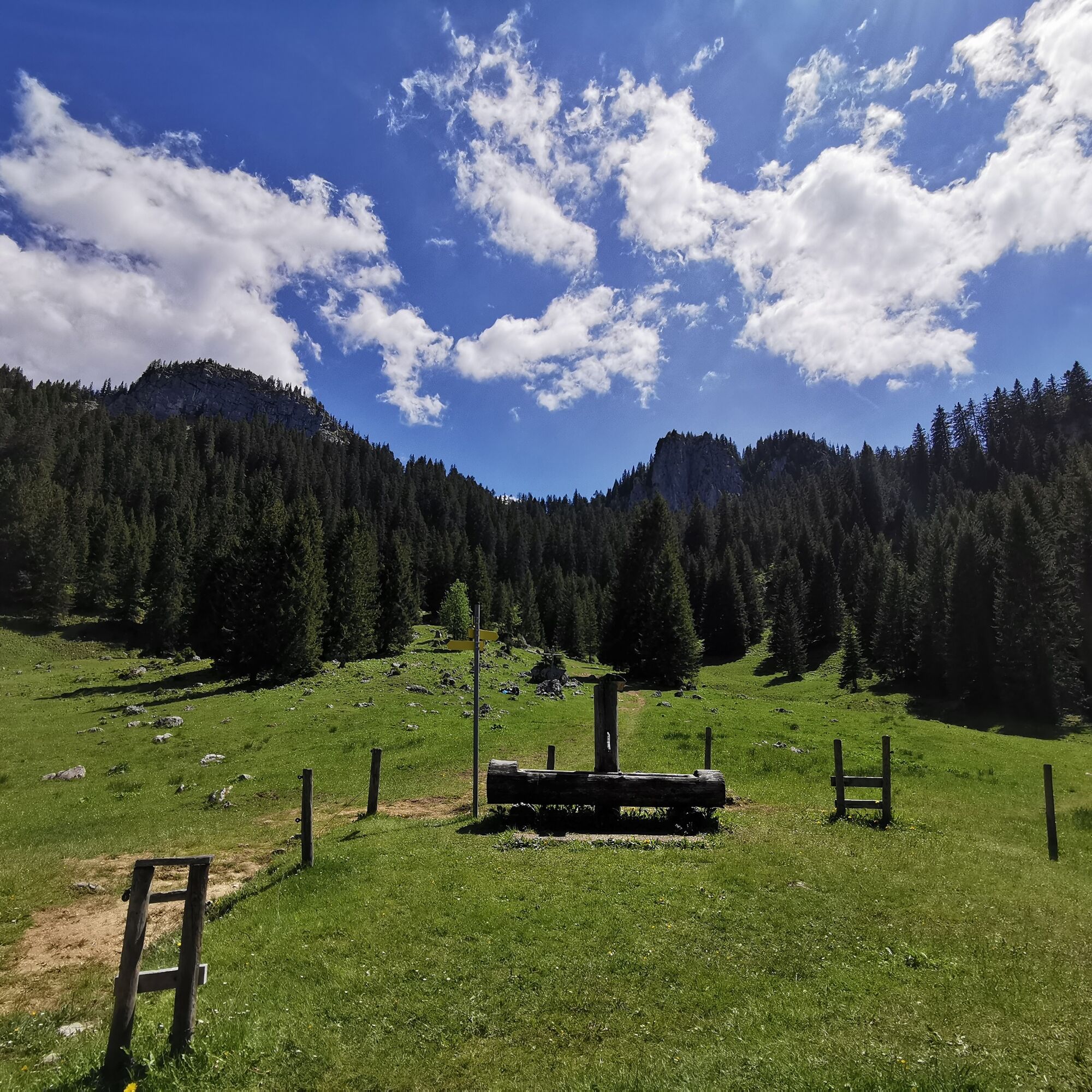

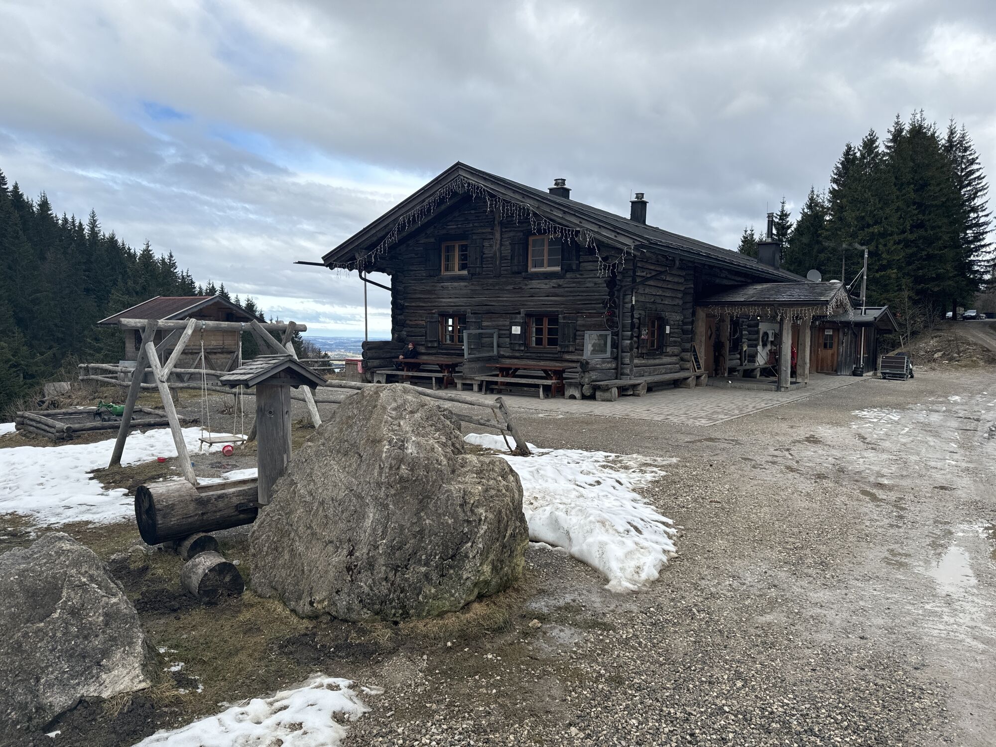
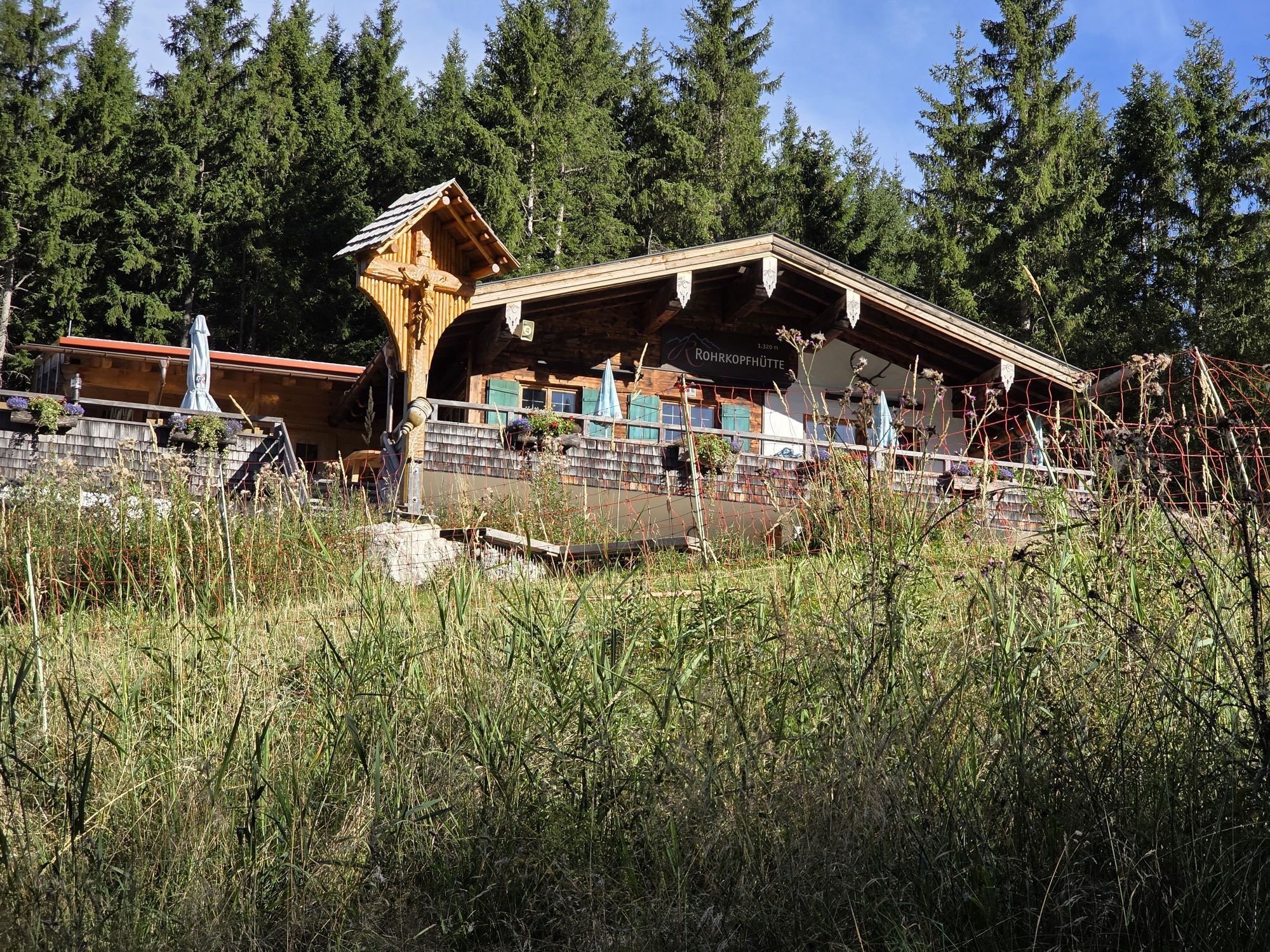
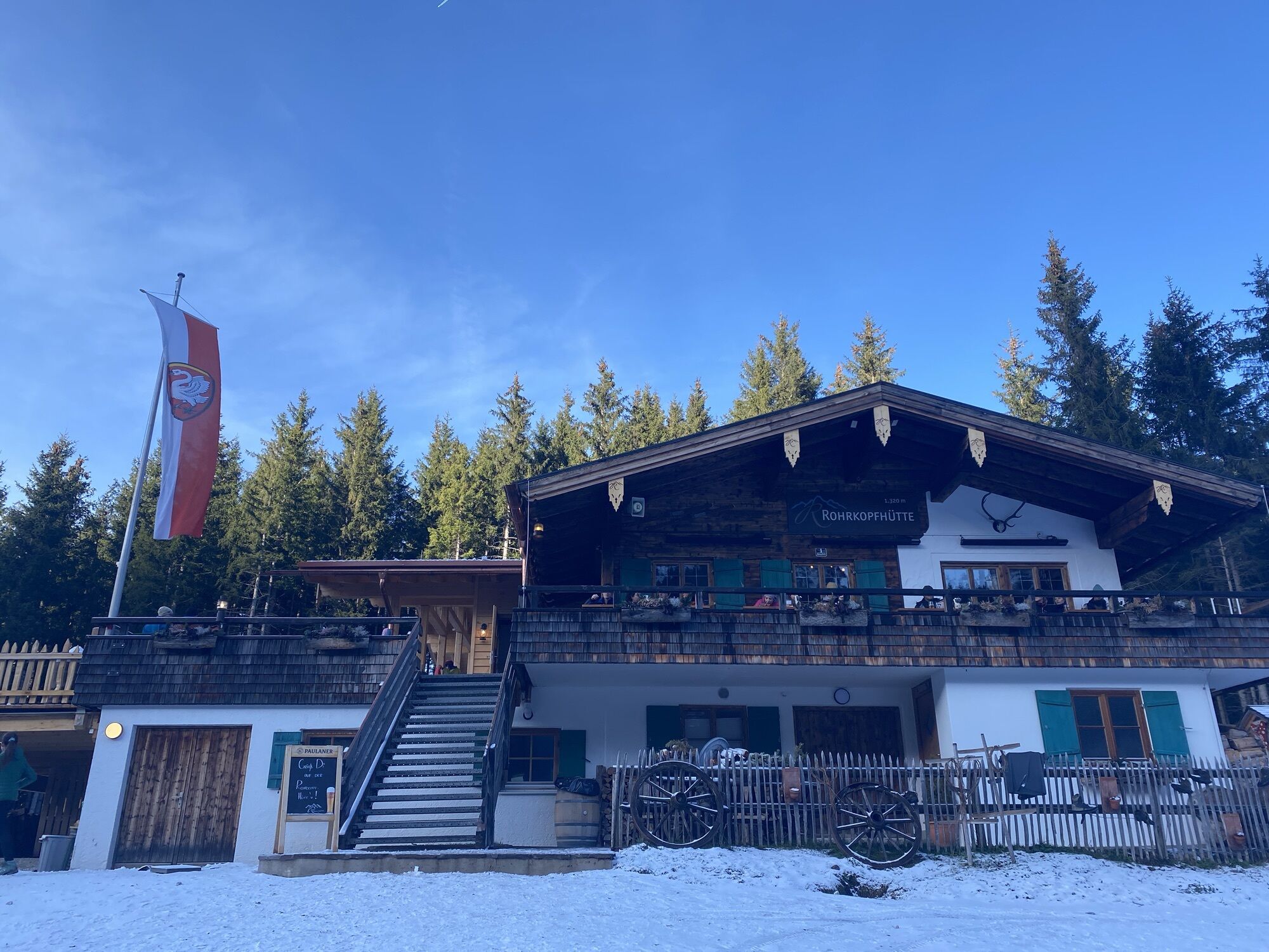
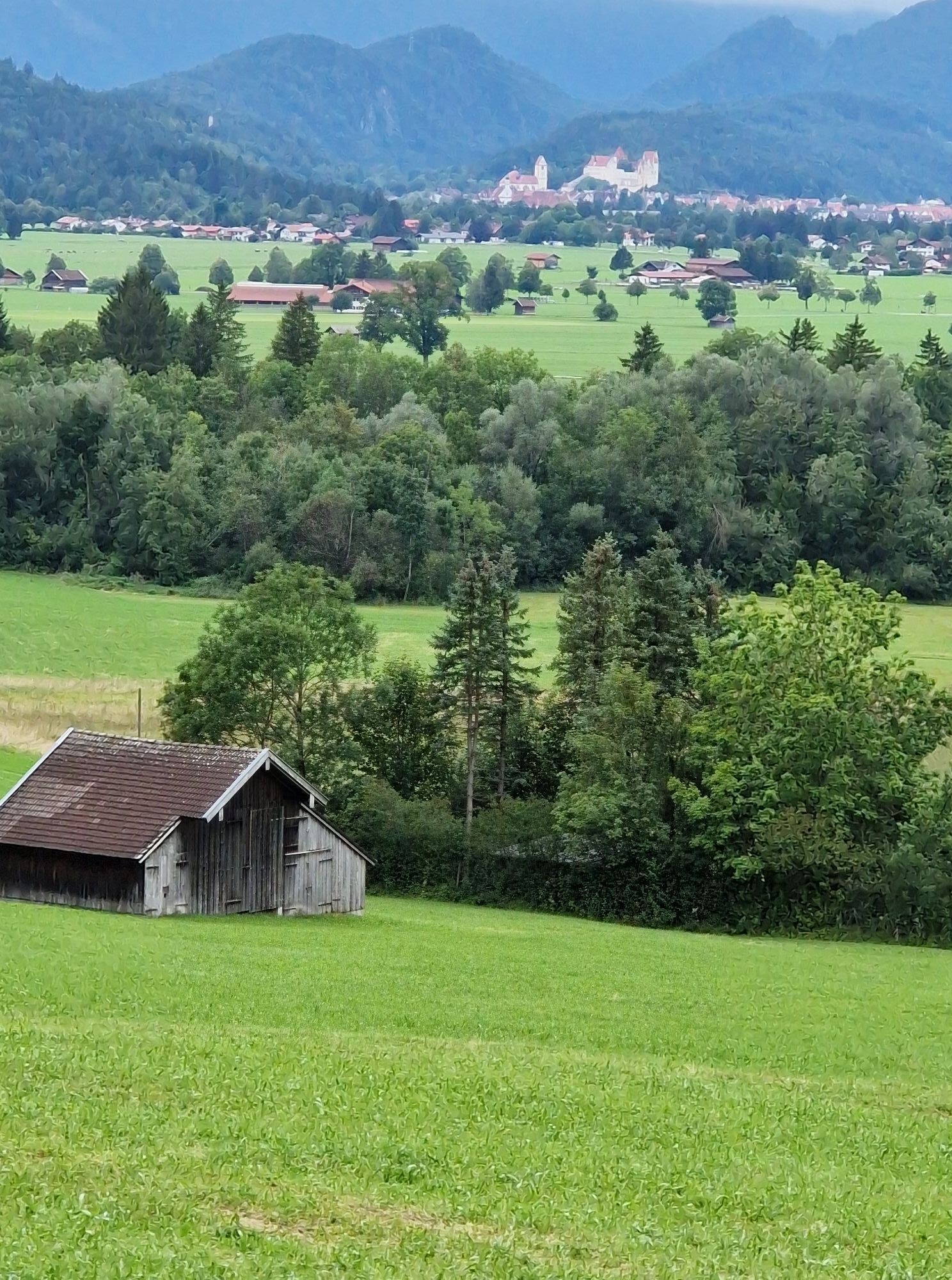
From the parking lot at the Tegelbergbahn valley station, the Schutzengelweg trail leads up to the Rohrkopfhütte - through the Ammergebirge, Bavaria's largest nature reserve. From the Rohrkopfhütte, follow the path in the direction of the Tegelbergbahn mountain station. A little below, the marked path to Schönleitenschrofen branches off to the left.
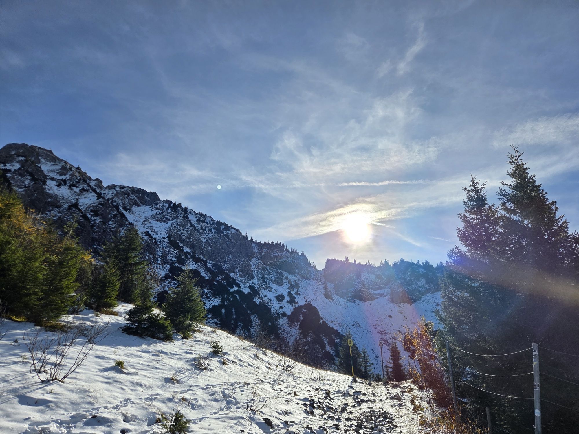
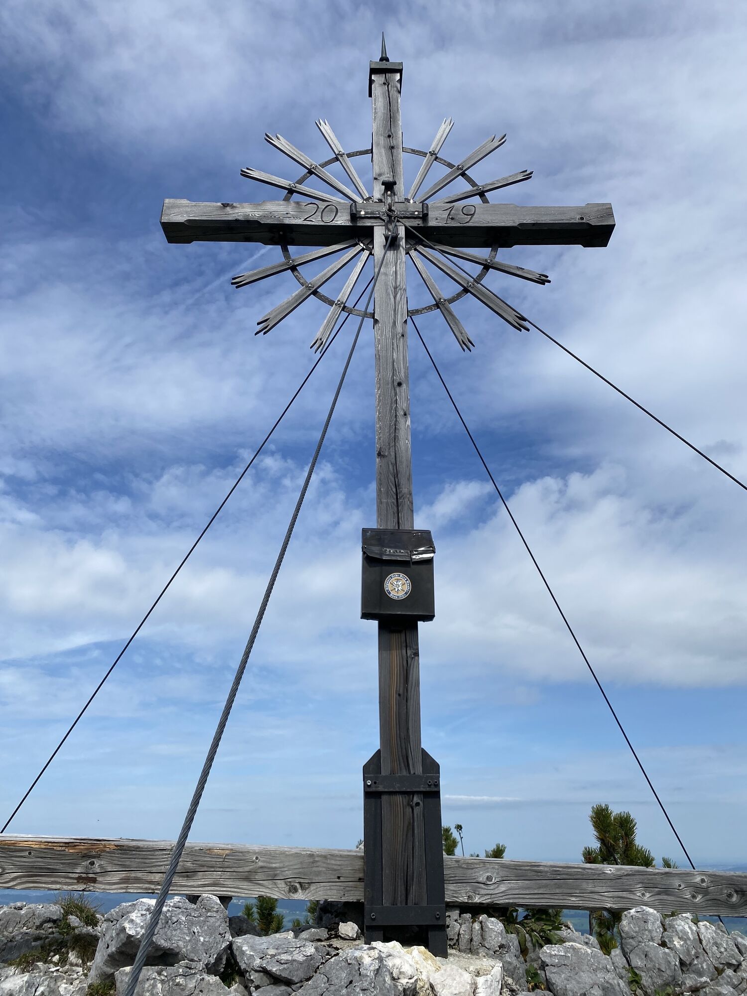
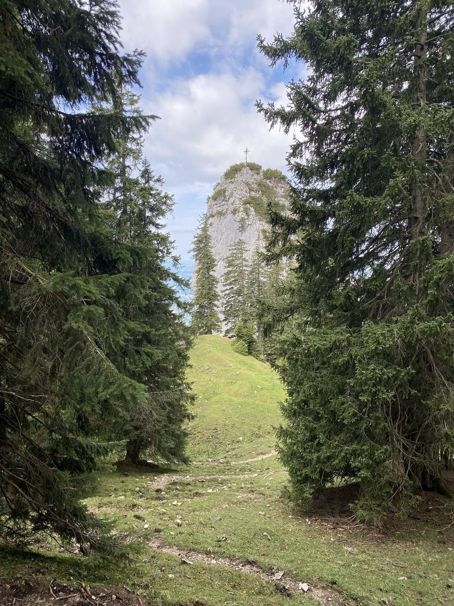
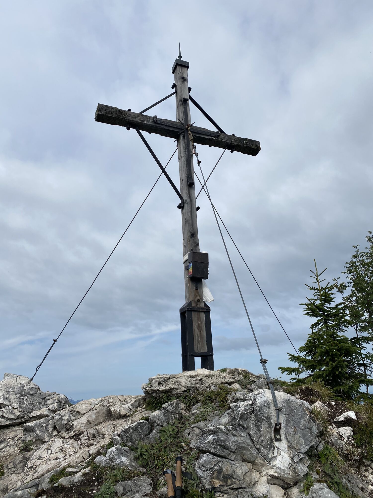
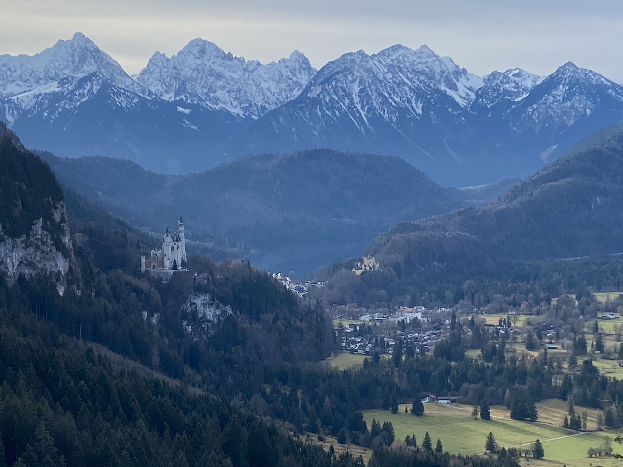
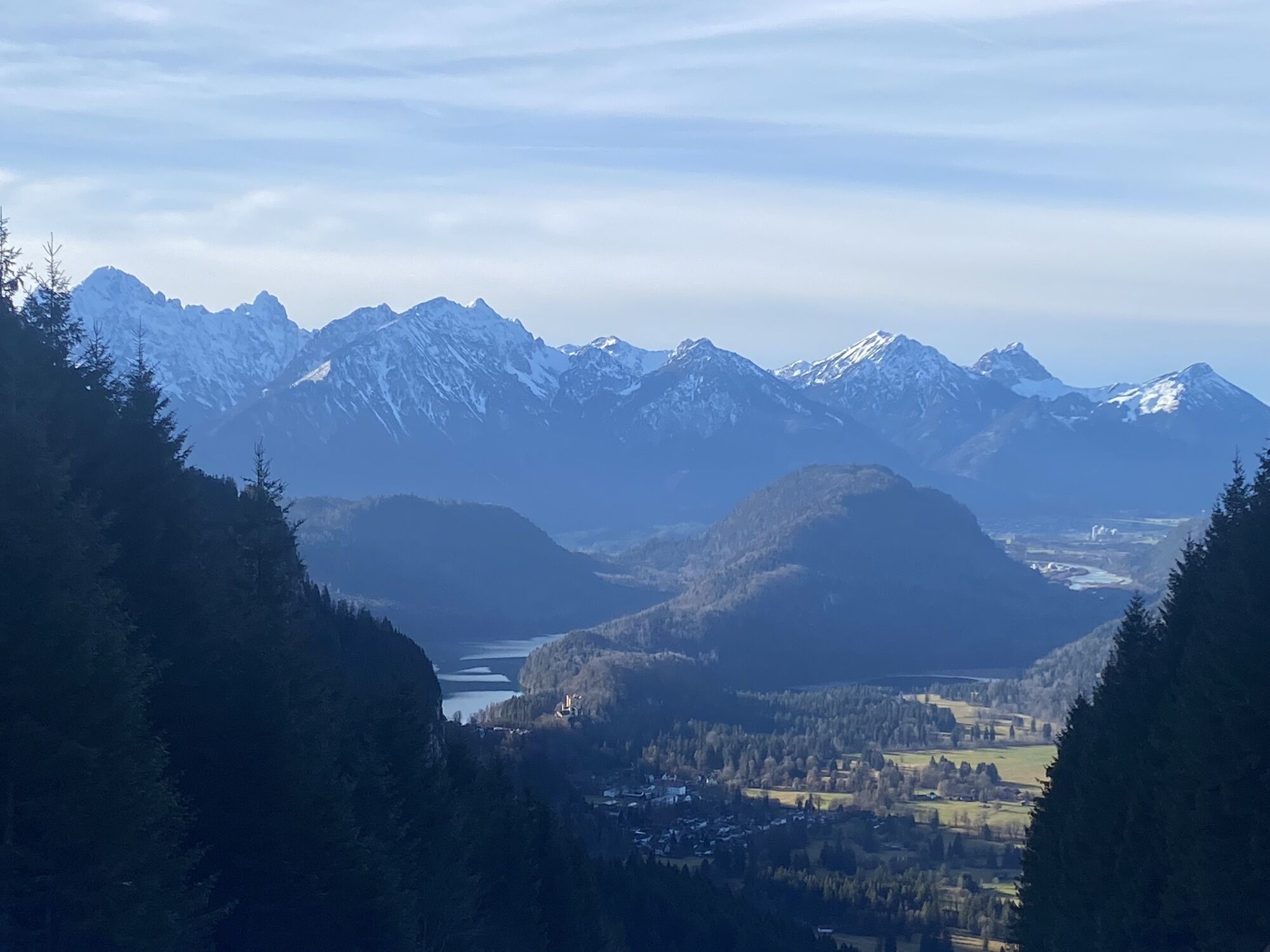
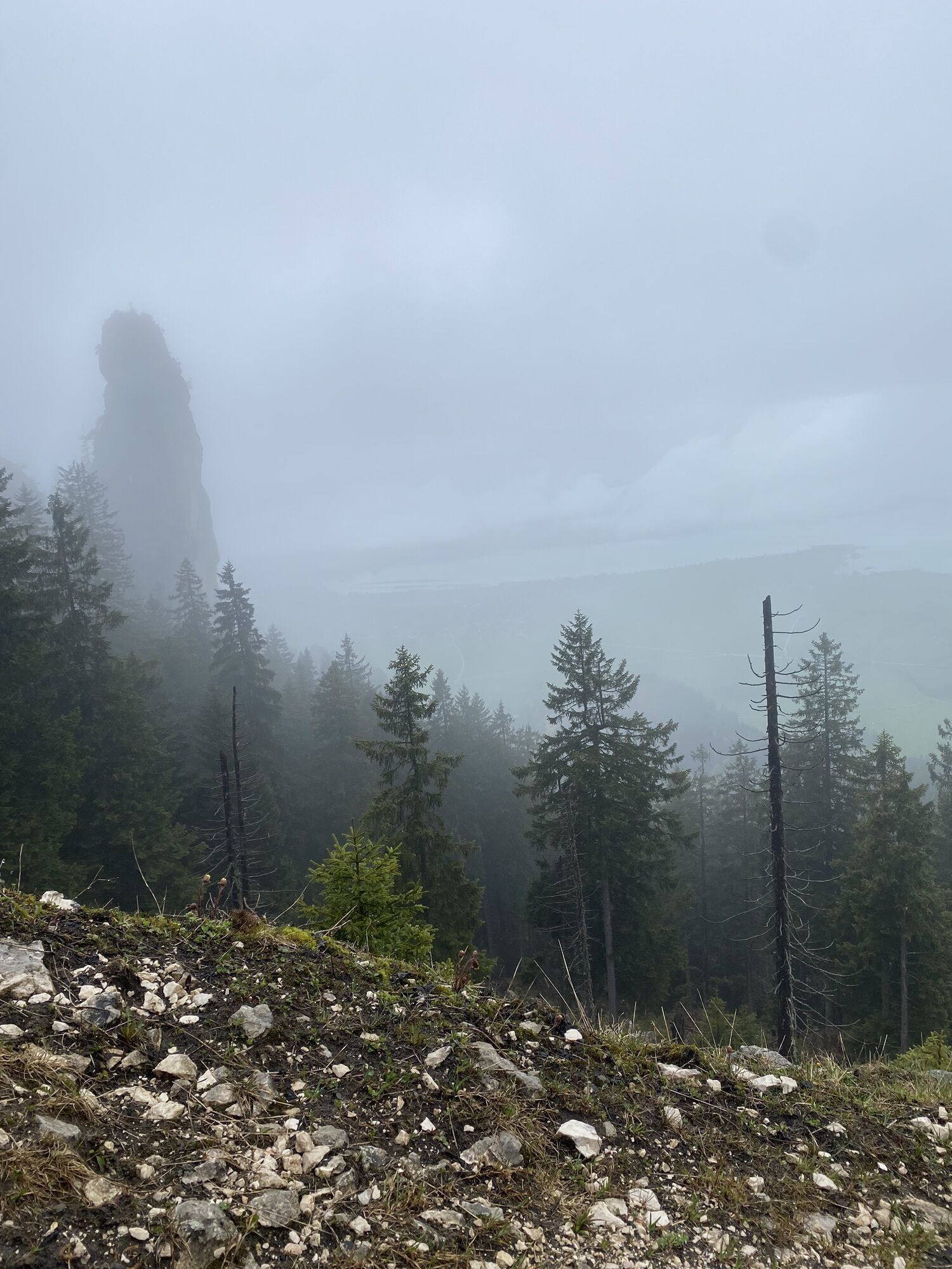
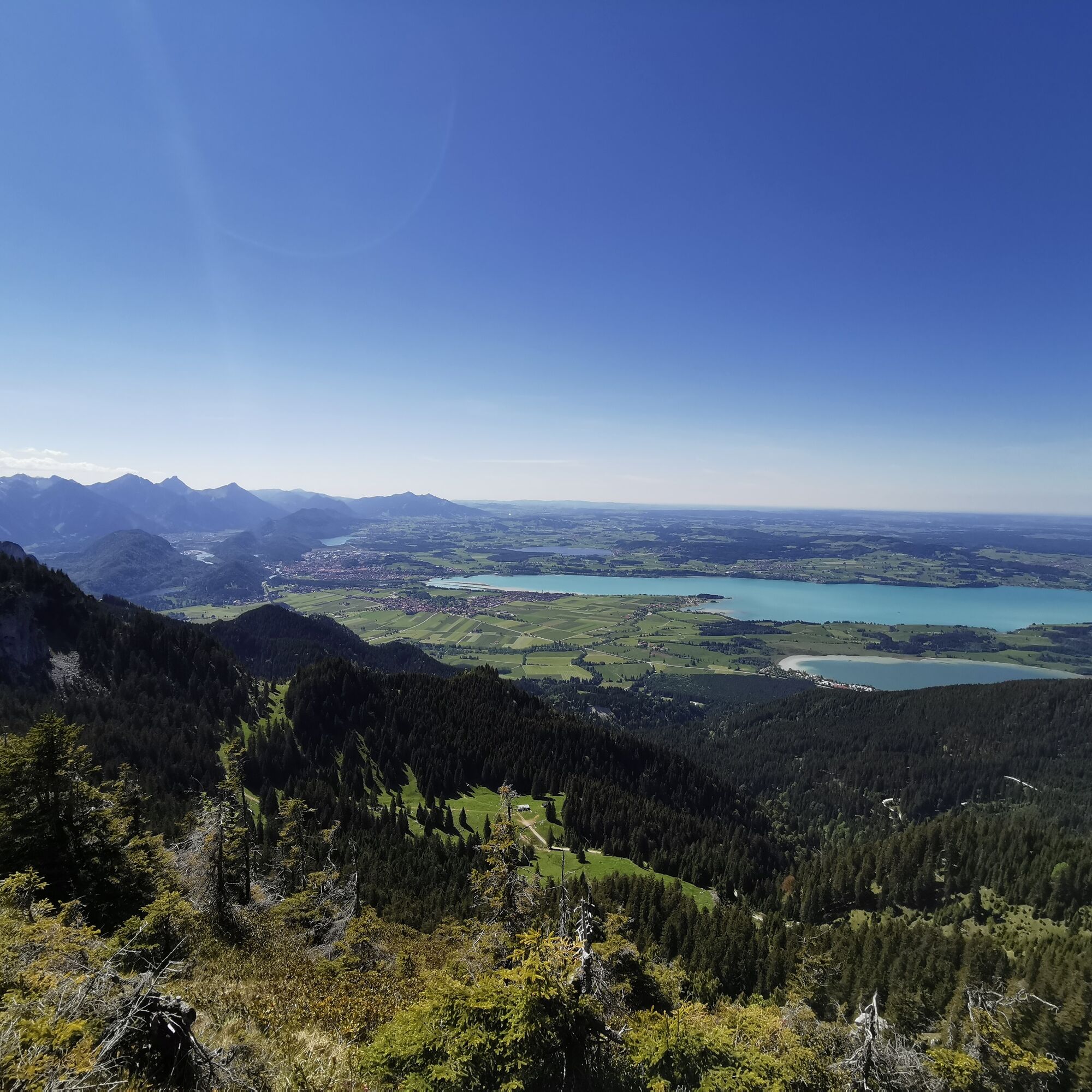
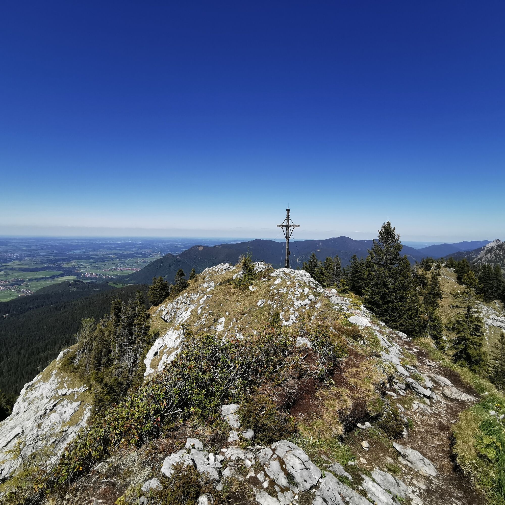
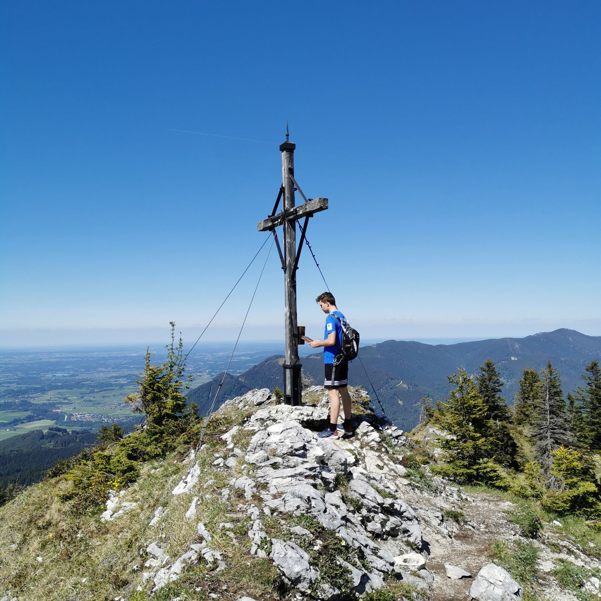
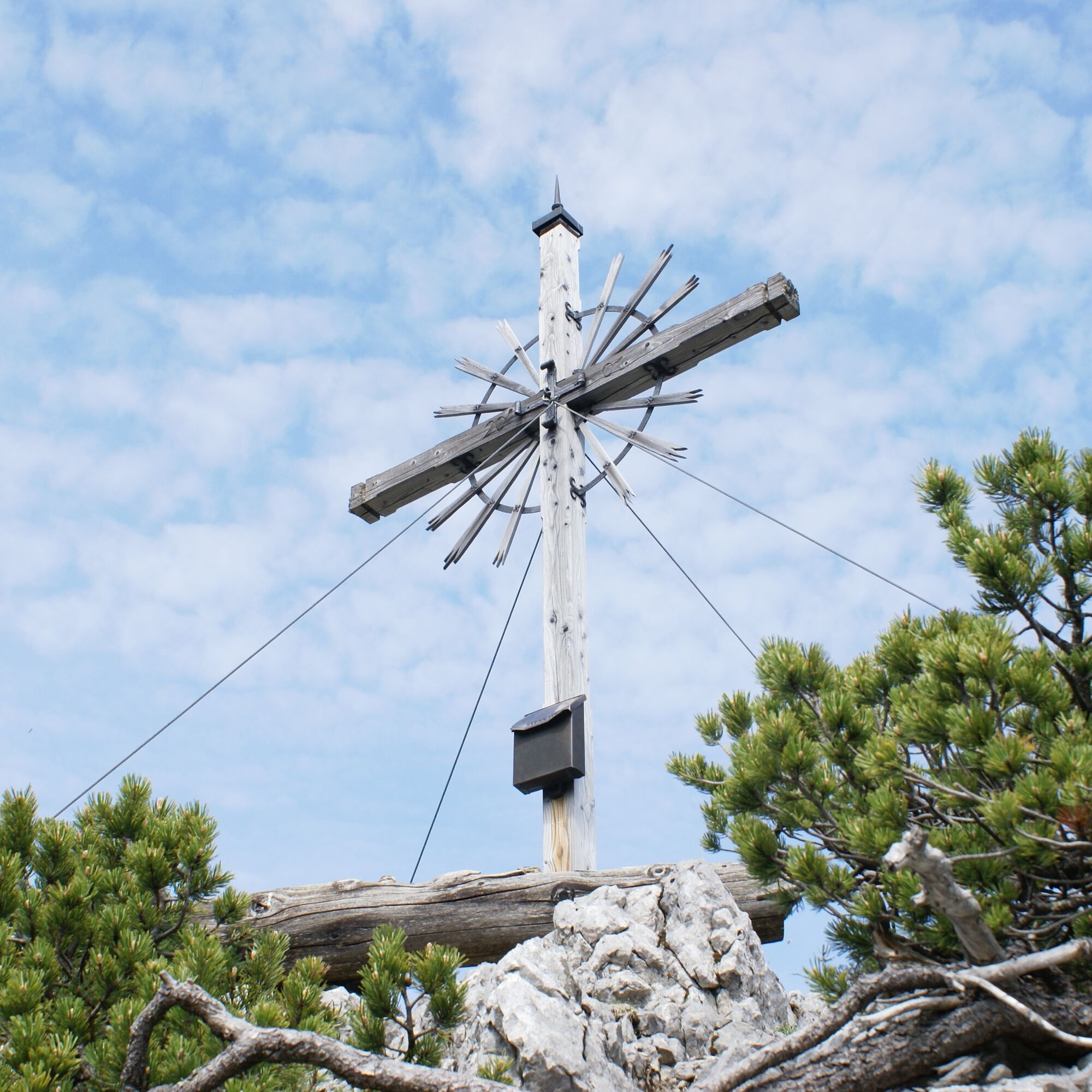
The next stage takes you first to the Latschenkopf - the easiest summit of the three-summit tour. Continue through Hintere Grüble and then - keeping to the left - to Spitzigschröfle (only for experienced and sure-footed hikers). The last summit of the tour is the Schönleitenschrofen, which offers a magnificent panoramic view.
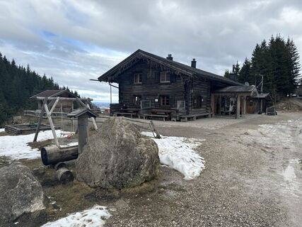
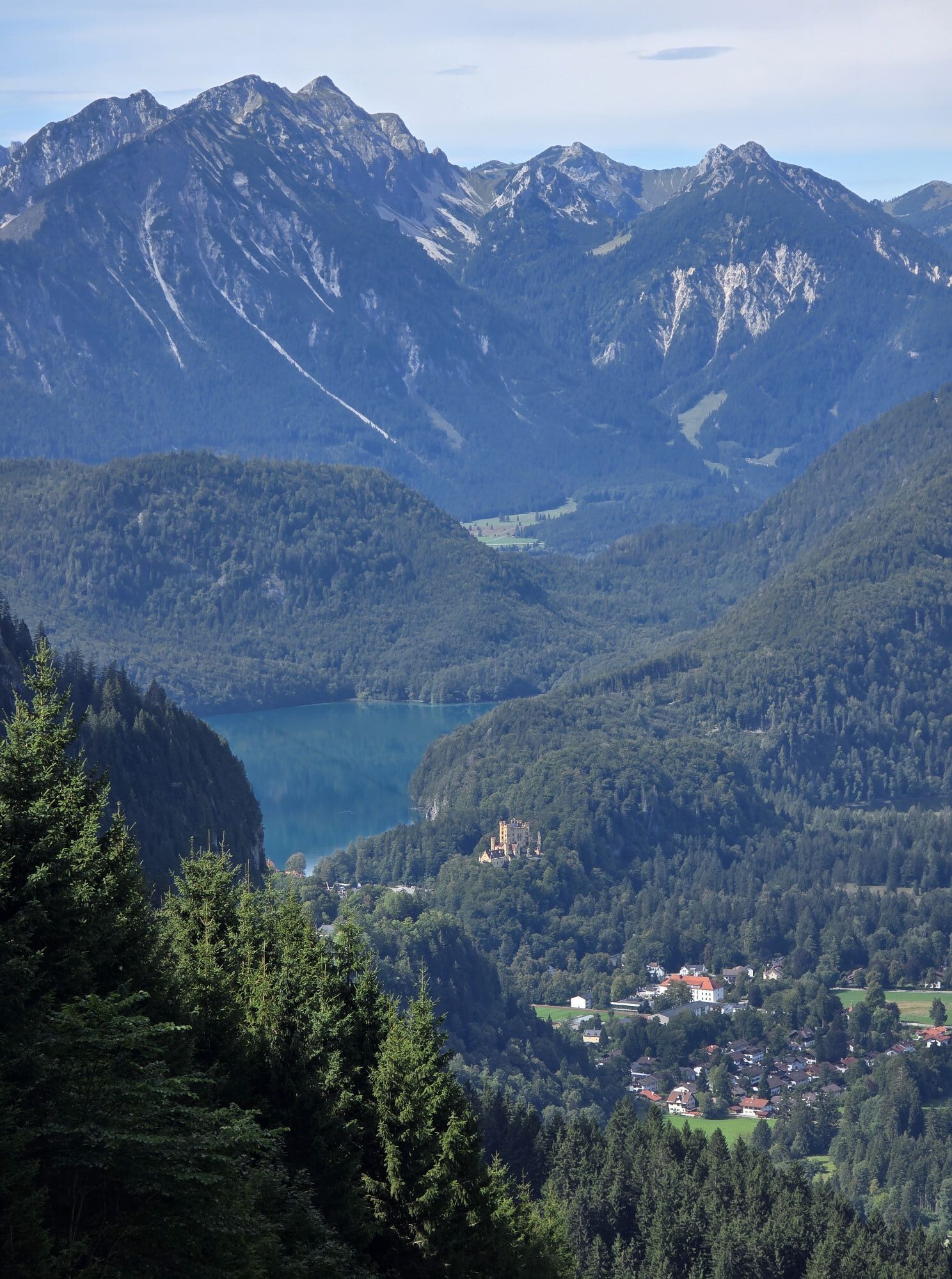
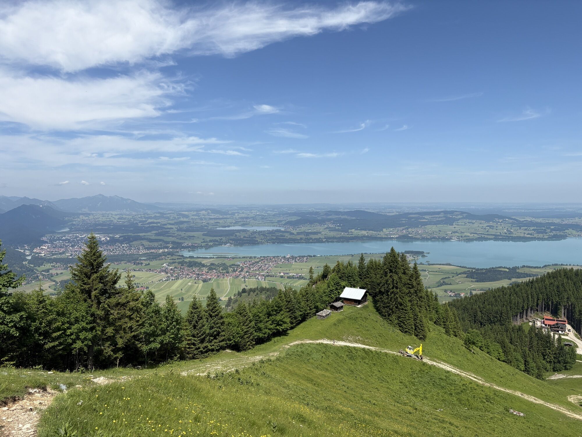
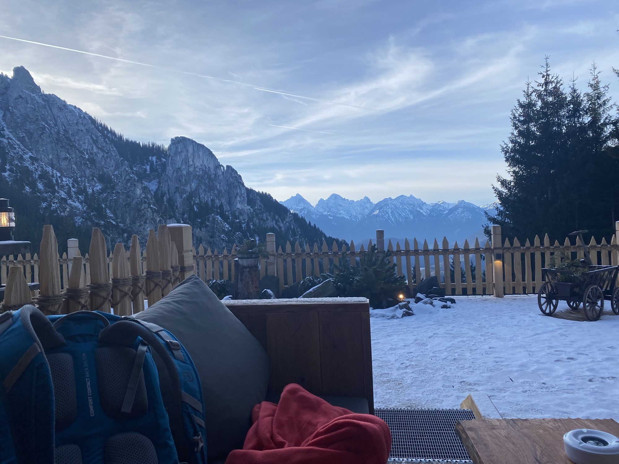
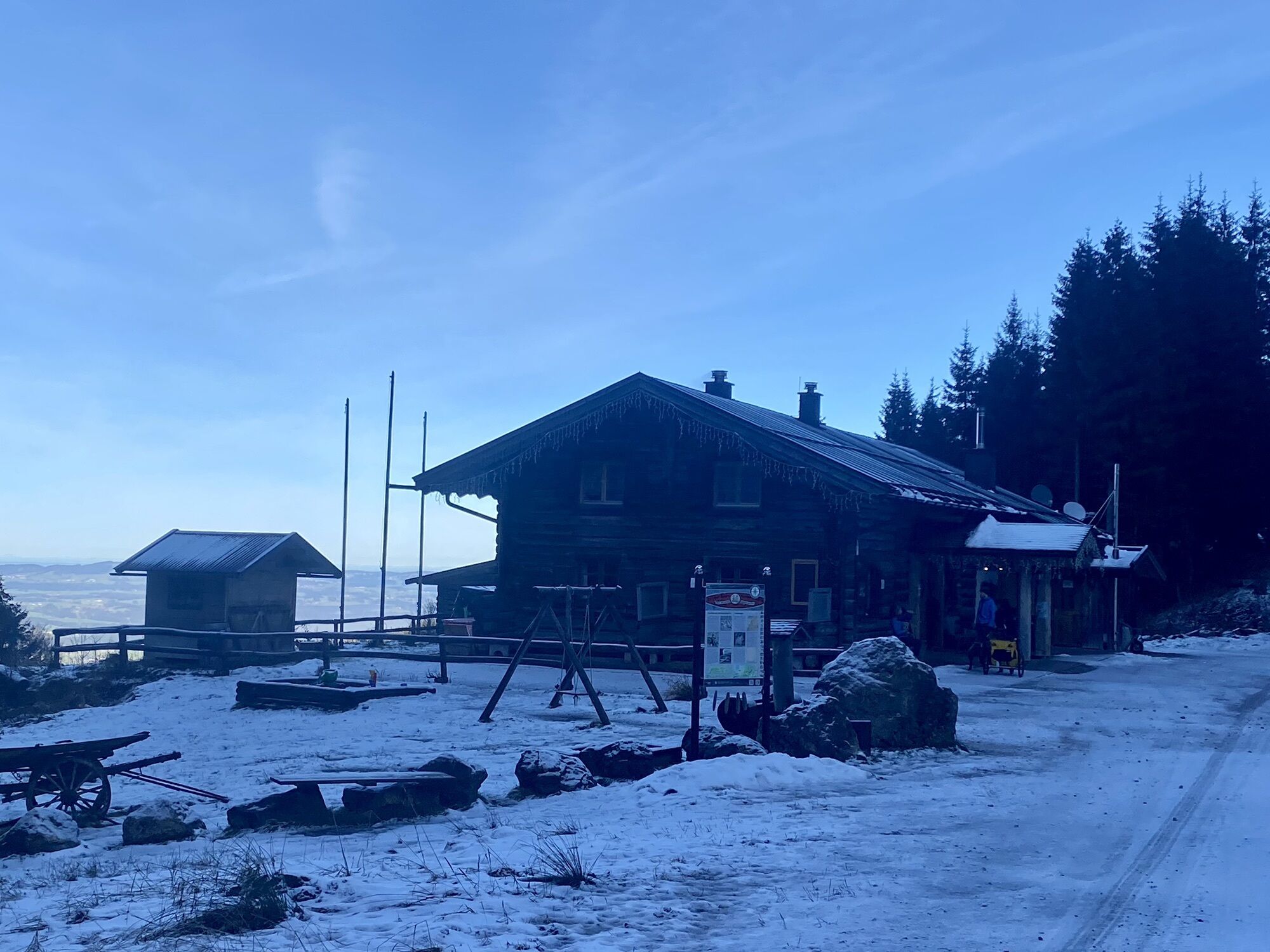
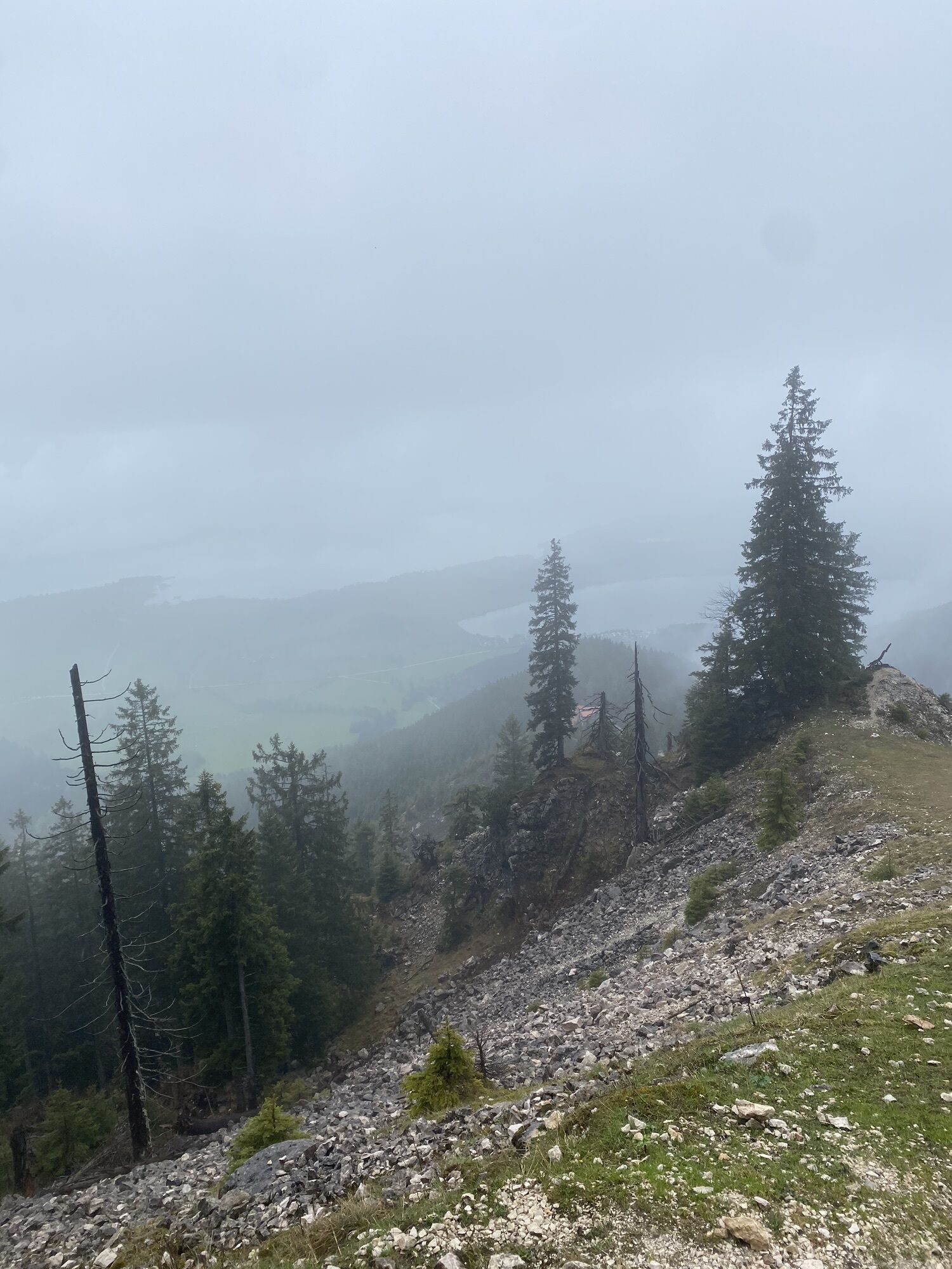
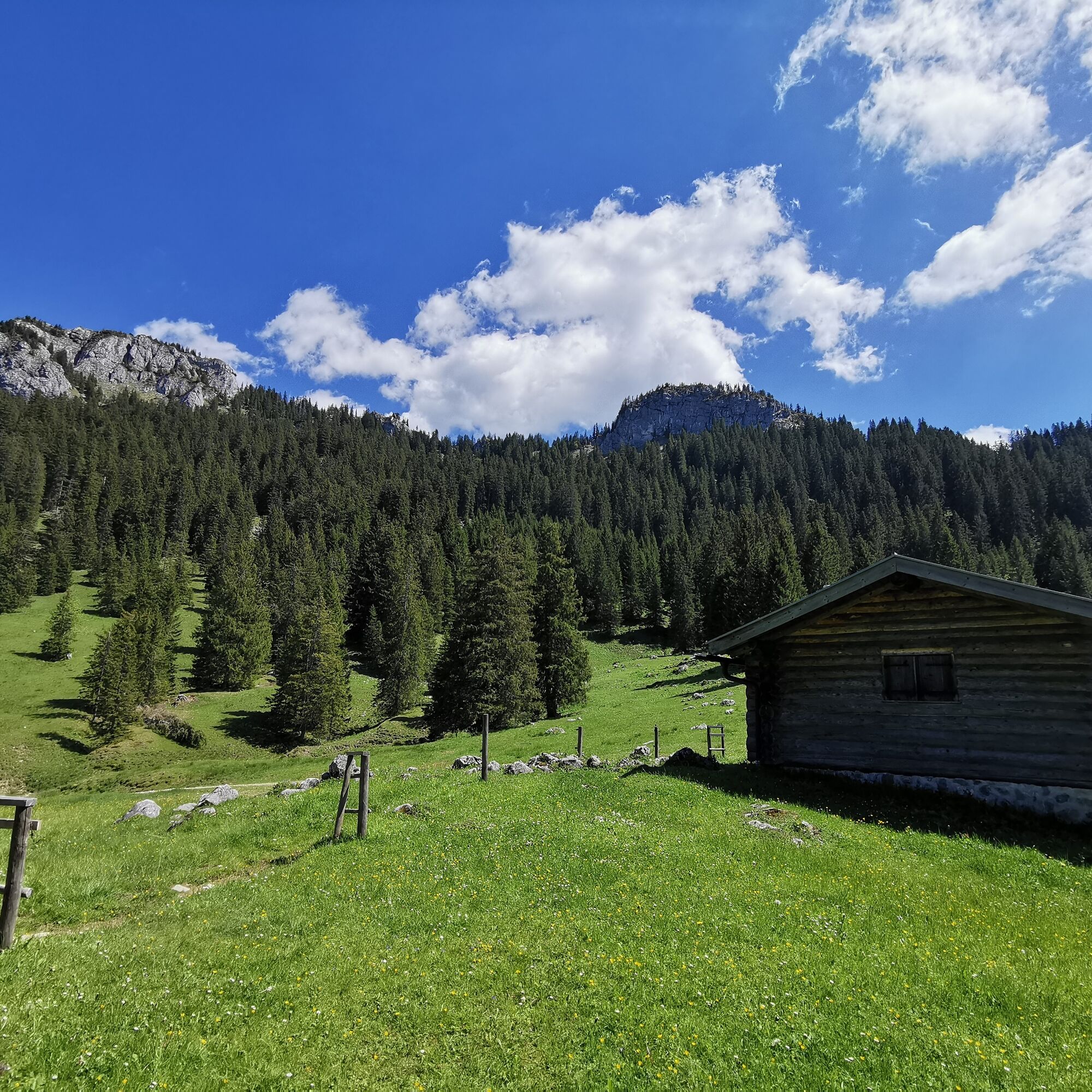
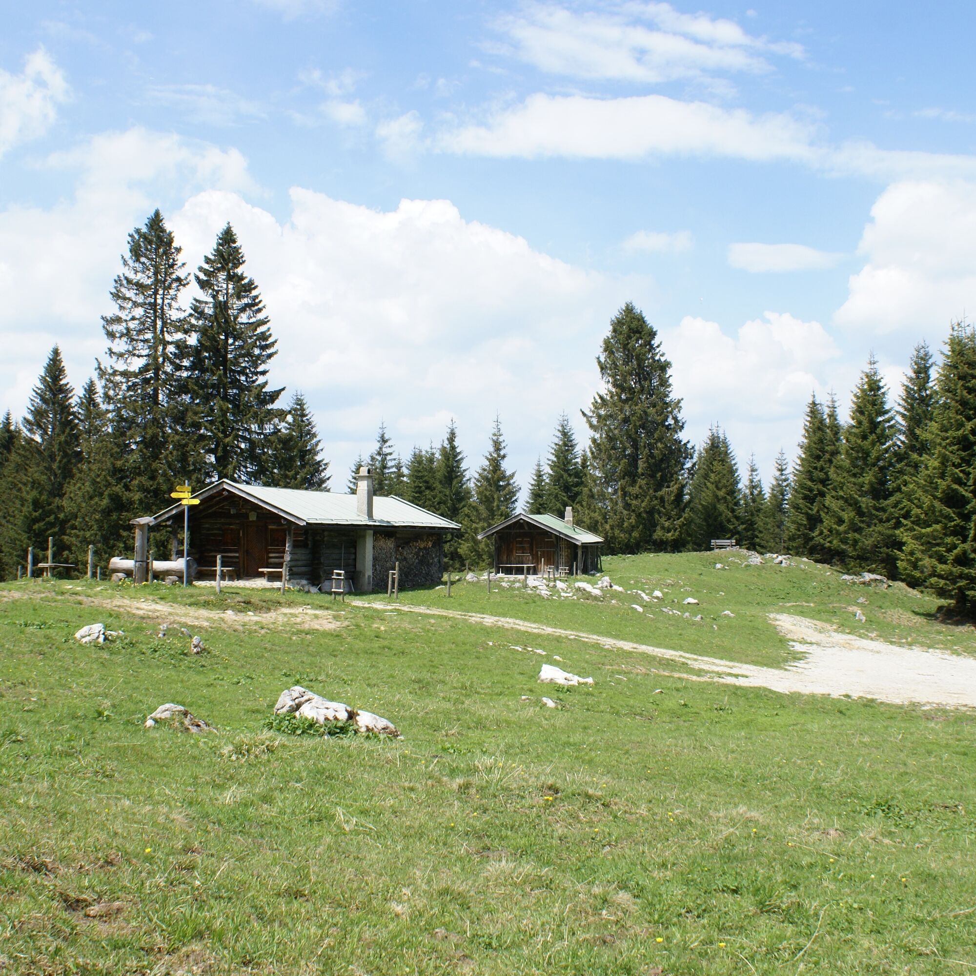
After the descent, follow the path towards Vorderes Mühlberger Älpele. Take a break on the small terrace of the hut and enjoy the beautiful view. Alternatively, you can save the stop for the nearby Drehhütte - its sunny terrace also offers a wonderful panorama.
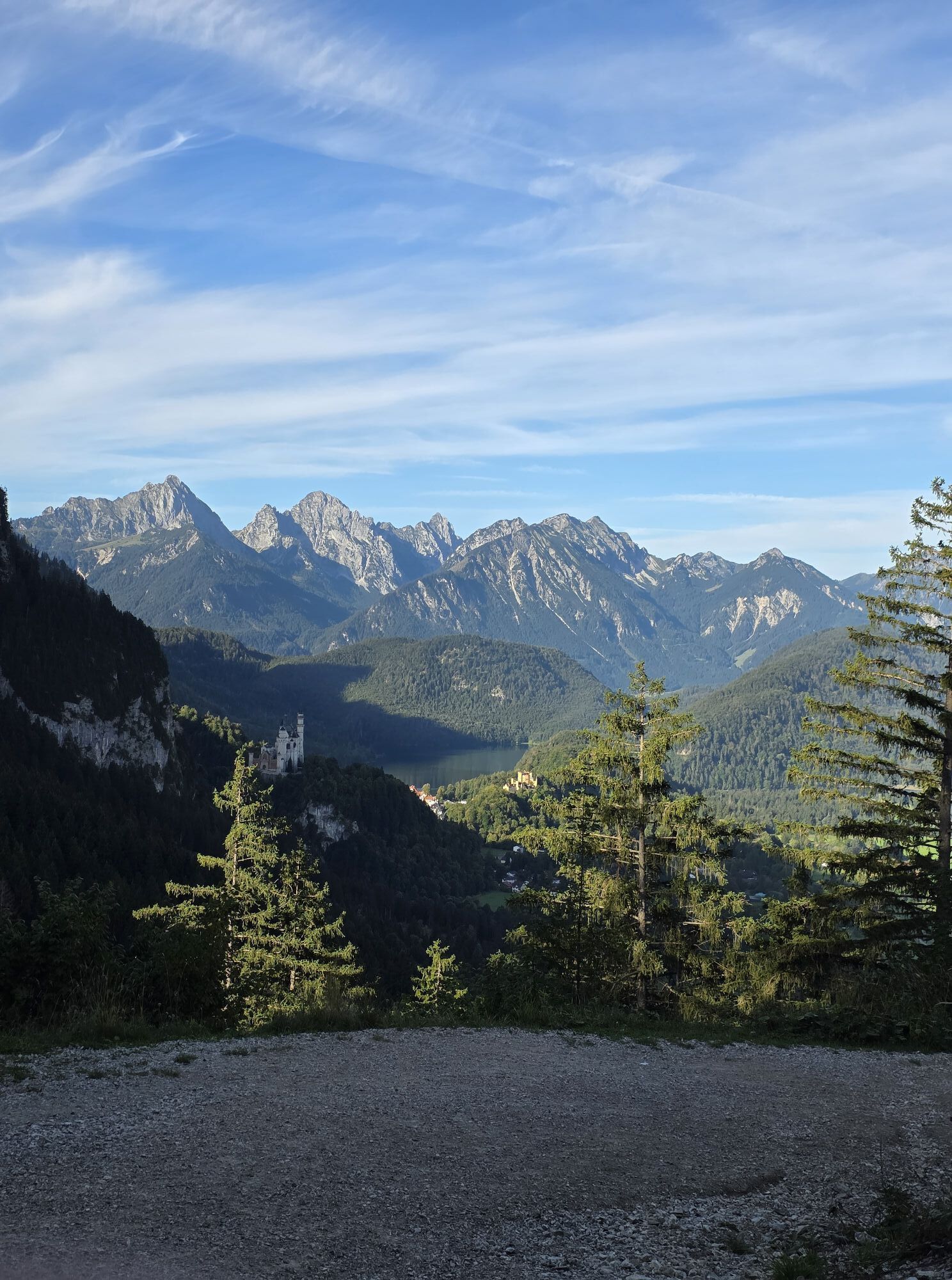
The way back is easy via the Drehhütte forest road back to the Tegelbergbahn valley station.
Tip: If you want to shorten the ascent, take the cable car up the Tegelberg and hike about 150 meters down to the Rohrkopfhütte. From there, continue right at the Grüble to the Latschenkopf and onto the three-summit tour.
Oui
Oui
Oui
We recommend: Clothing suitable for the weather, hiking boots, poles, drinks, snacks and a first aid kit.
From the Mühlberger Älpele, the trail leads over the Pechkopf in a steeper descent down to the Drehhütte. Take particular care in wet conditions!
Coming from Schwangau in the direction of the Tegelberg valley station:
Tegelberg valley station - Tegelbergstraße 33 - 87645 Schwangau
By train: To Füssen station (from here continue by bus)
By bus: Bus stop Schwangau Tegelbergbahn (lines 73, 78, 9606, 9651)
Paid parking spaces at the Tegelberg valley station.
From June you can admire the alpine rose blossom in all its glory.
Webcams de la tournée
Talstation
Tegelbergbahn Bergstation
Tegelberghaus
Füssen - Wellness Hotel Sommer
Segelclub Füssen
Talstation
Talstation
Talstation
Talstation
Tegelbergbahn Bergstation
Tegelbergbahn Bergstation
Tegelbergbahn Bergstation
Tegelbergbahn Bergstation
Talstation
Talstation
Tegelbergbahn Bergstation
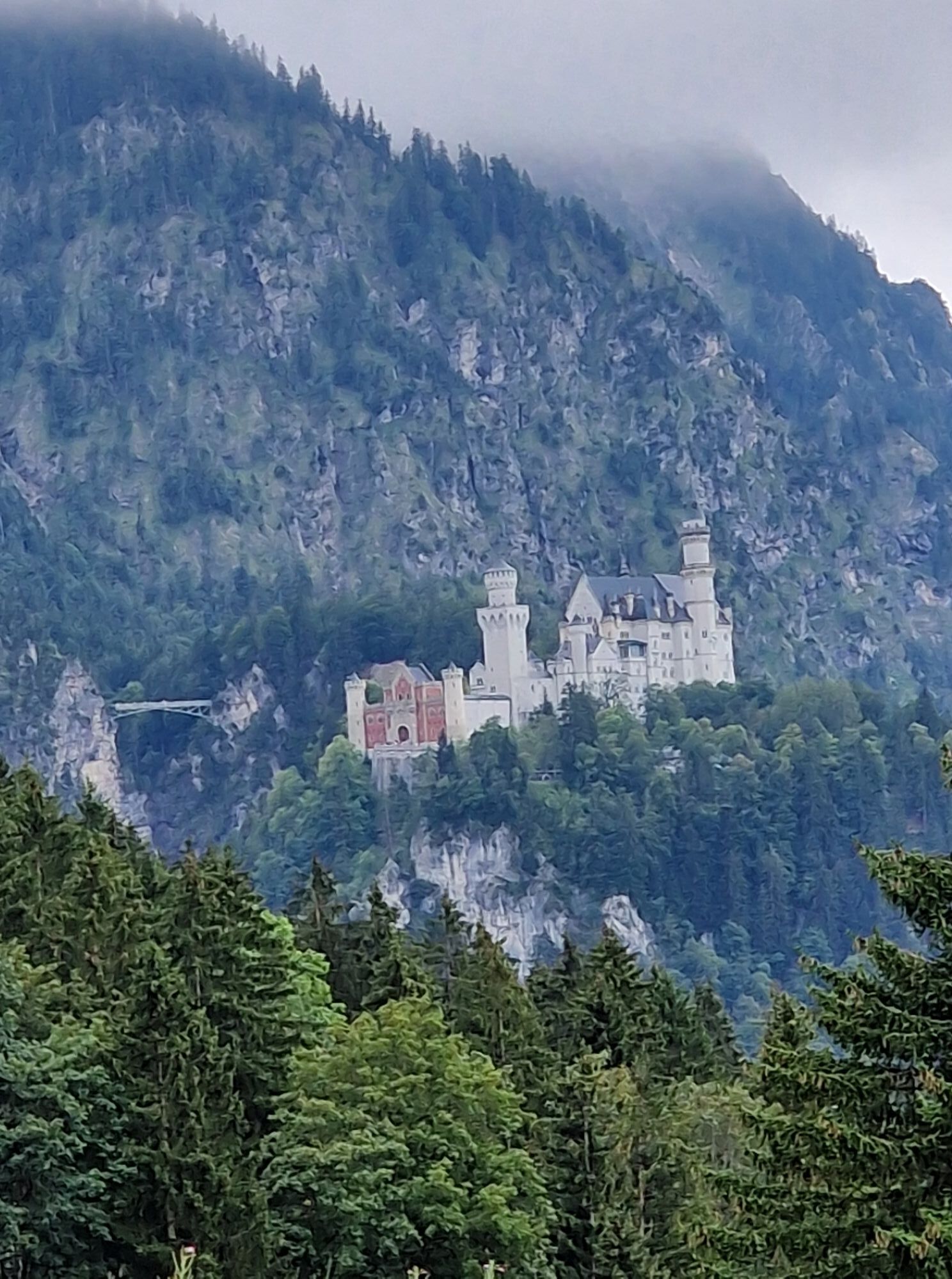
Schloss Hohenschwangau
Schloss Hohenschwangau
Schloss Hohenschwangau
Schloss Hohenschwangau
Schloss Hohenschwangau
Schloss Hohenschwangau
Schloss Hohenschwangau
Schloss Hohenschwangau
Ludwigs Festspielhaus Füssen
Ludwigs Festspielhaus Füssen
Forggensee
Tegelbergbahn Bergstation
Schwangau - Blick auf den Tegelberg
Hotel Hirsch
Hotel Hirsch
Schwangau - Schlossbrauhaus
Schwangau - Tegelbergbahn
Buching - Buchenbergbahn
Tegelberg Landeplatz
Parcours populaires à proximité
- 4,5
Randonnée circulaire Dreh- et Rohrkopfhütte
facileRandonnée8,76 km - 4,8
Autour du Weißensee
facileRandonnée6,12 km - 3,6
Rundwanderung Plansee
moyenRandonnée9,80 km - 4,7
Sentier du mur jaune, Tegelberg (A)
moyenVia ferrata3,65 km - 4,5
Traumhafte Panorama Plansee-Umrundung
facileRandonnée13,8 km - 4,6
Tegelbergsteig: Via ferrata, Schwangau (B/C)
difficileVia ferrata3,54 km - 4,7
Hochplatte
moyenRandonnée10,4 km - 4,2
Schloß Neuschwanstein und Schwanensee Schwangau, Bayern
moyenRandonnée9 km - 4,9
Tegelberg | Branderschrofen | Neuschwanstein
moyenRandonnée14,8 km - 4,6
Kulturpfad Schutzengelweg
moyenRandonnée4,61 km

Randonnée et suivi


Ne manquez pas les offres et l'inspiration pour vos prochaines vacances
Votre adresse électronique a été ajouté à la liste de diffusion.