


Cycle tour – through the Murnau Moor
Niveau de difficulté: 2


Photos de nos utilisateurs

 © mosi mönäCréé le 08.10.2025
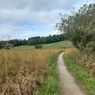 © mosi mönäCréé le 07.10.2025
 © Lorenz KleberCréé le 11.06.2025
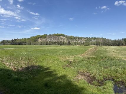
 © SimilaunCréé le 28.04.2025
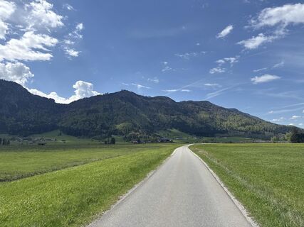 © SimilaunCréé le 28.04.2025
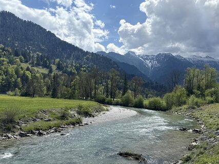 © SimilaunCréé le 28.04.2025
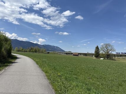 © SimilaunCréé le 28.04.2025
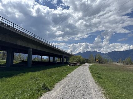 © SimilaunCréé le 28.04.2025
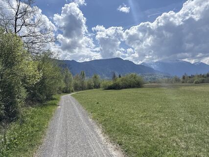 © SimilaunCréé le 28.04.2025
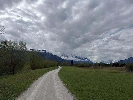 © SimilaunCréé le 22.04.2025
 © uweheidrichCréé le 05.06.2023
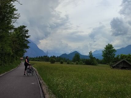 © uweheidrichCréé le 05.06.2023
 © Jürgen SpitzkopfCréé le 21.10.2025
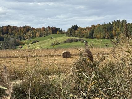
 © Denise MillerCréé le 21.10.2025
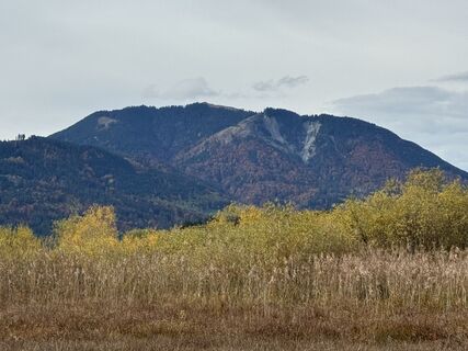 © Denise MillerCréé le 21.10.2025
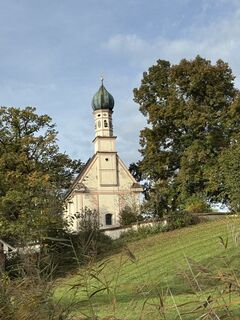 © Denise MillerCréé le 21.10.2025
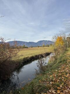 © Denise MillerCréé le 21.10.2025
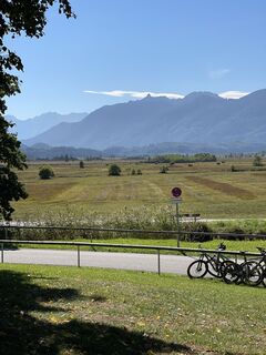 © Robert RettigCréé le 21.09.2025
 © Jürgen SieberCréé le 06.06.2025
 © Jürgen SieberCréé le 06.06.2025
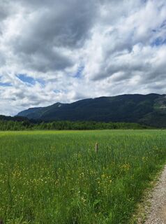 © Jürgen SieberCréé le 06.06.2025
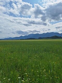 © Jürgen SieberCréé le 06.06.2025
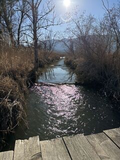 © Jürgen SpitzkopfCréé le 05.02.2025


Leave Bad Kohlgrub heading for Murnau. Initially remain on the main road until you are about to exit the village (at the post office), where you turn right into "Mühlstraße". Proceed alongside the Lindenbach stream on this well-developed forest road until you reach the sports ground and cemetery on the other side of the village.
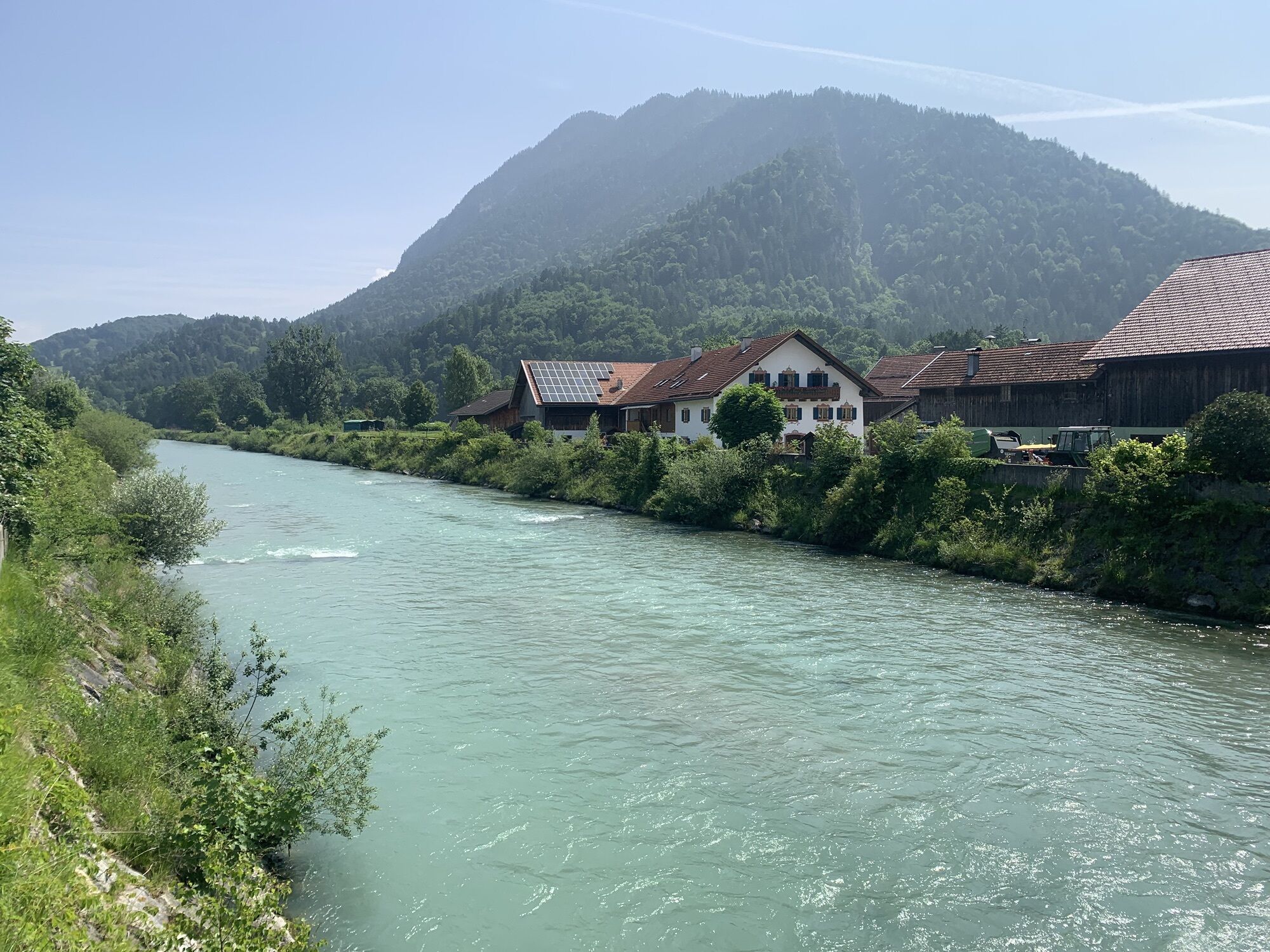
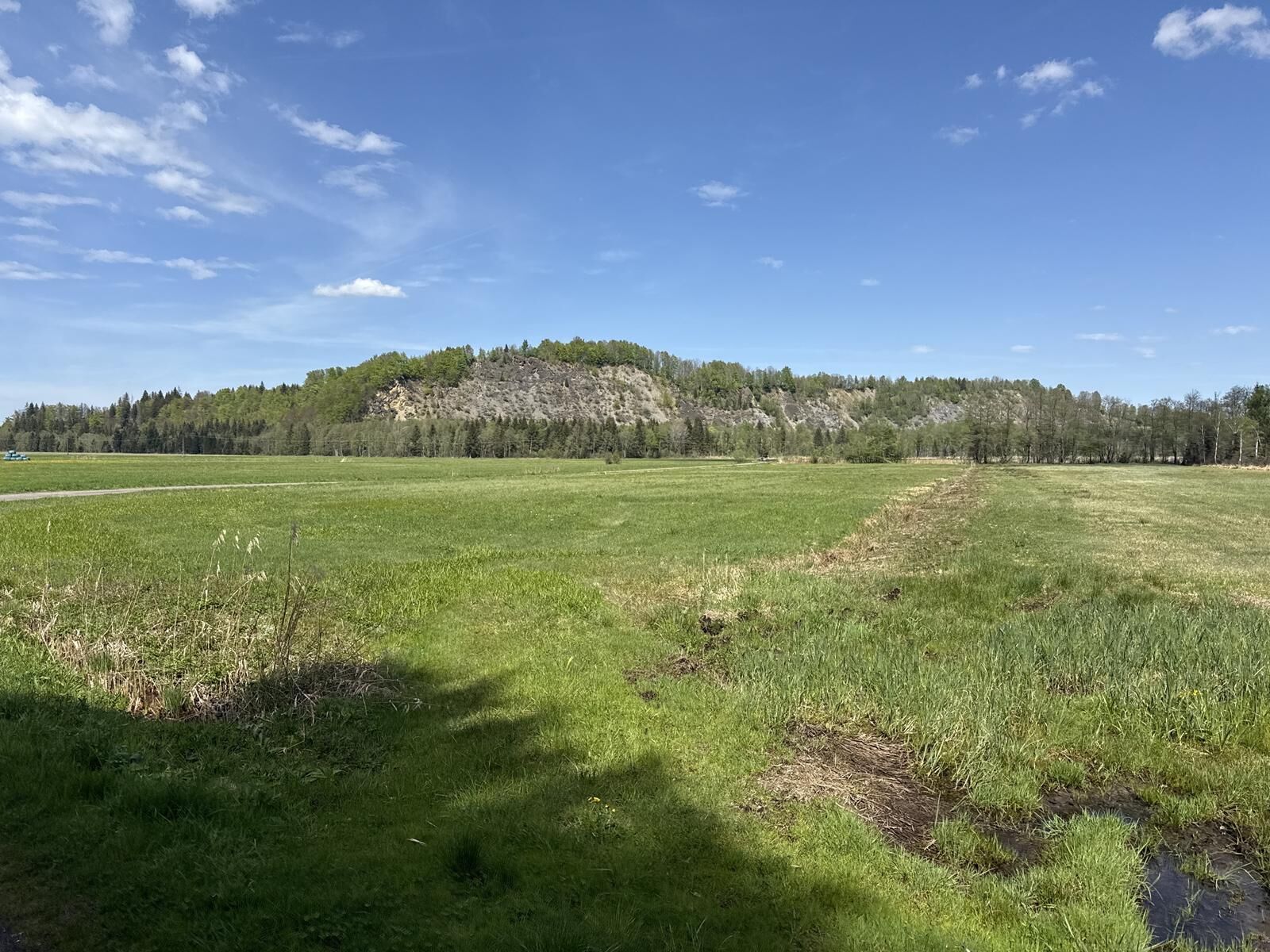
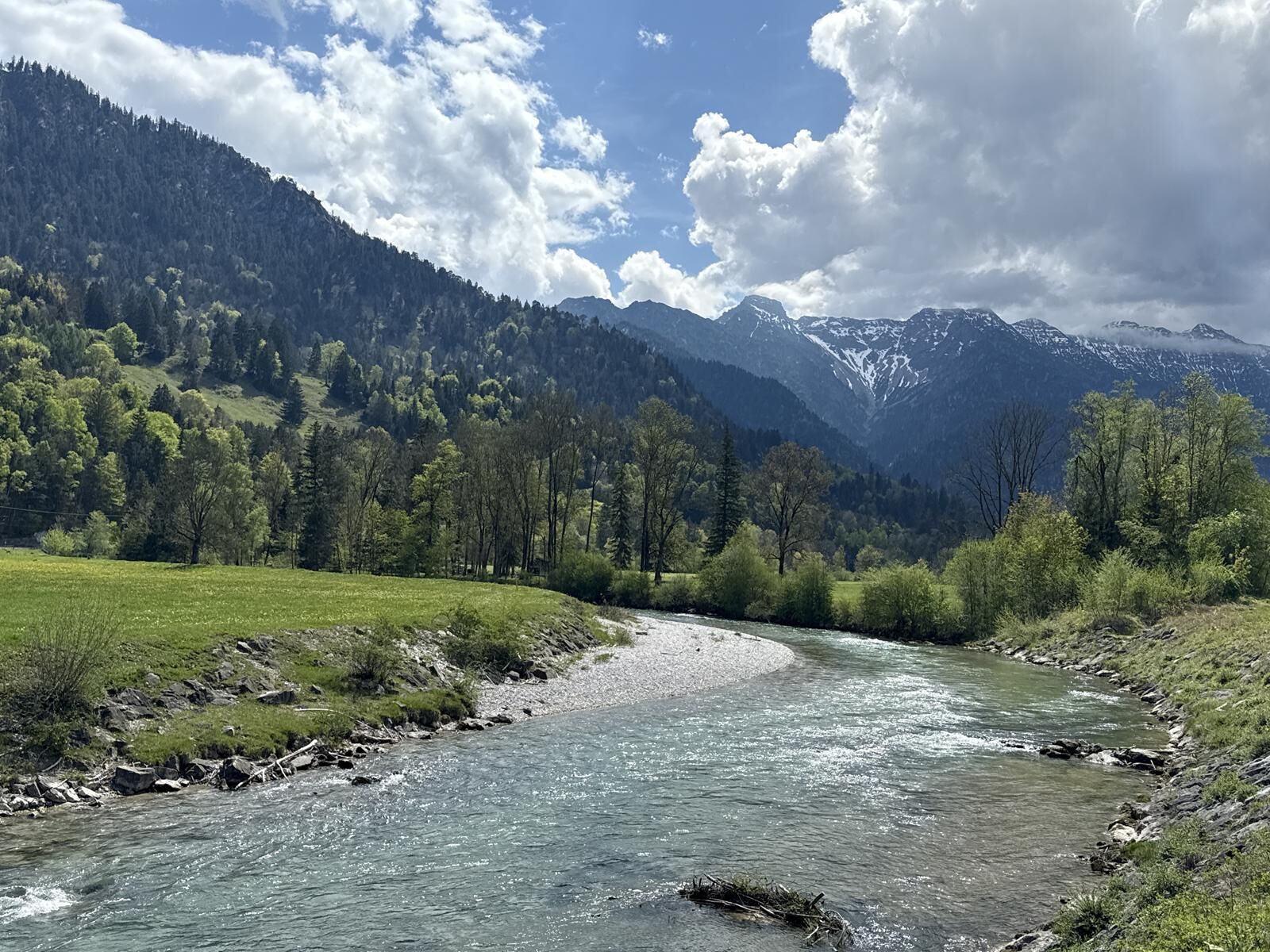
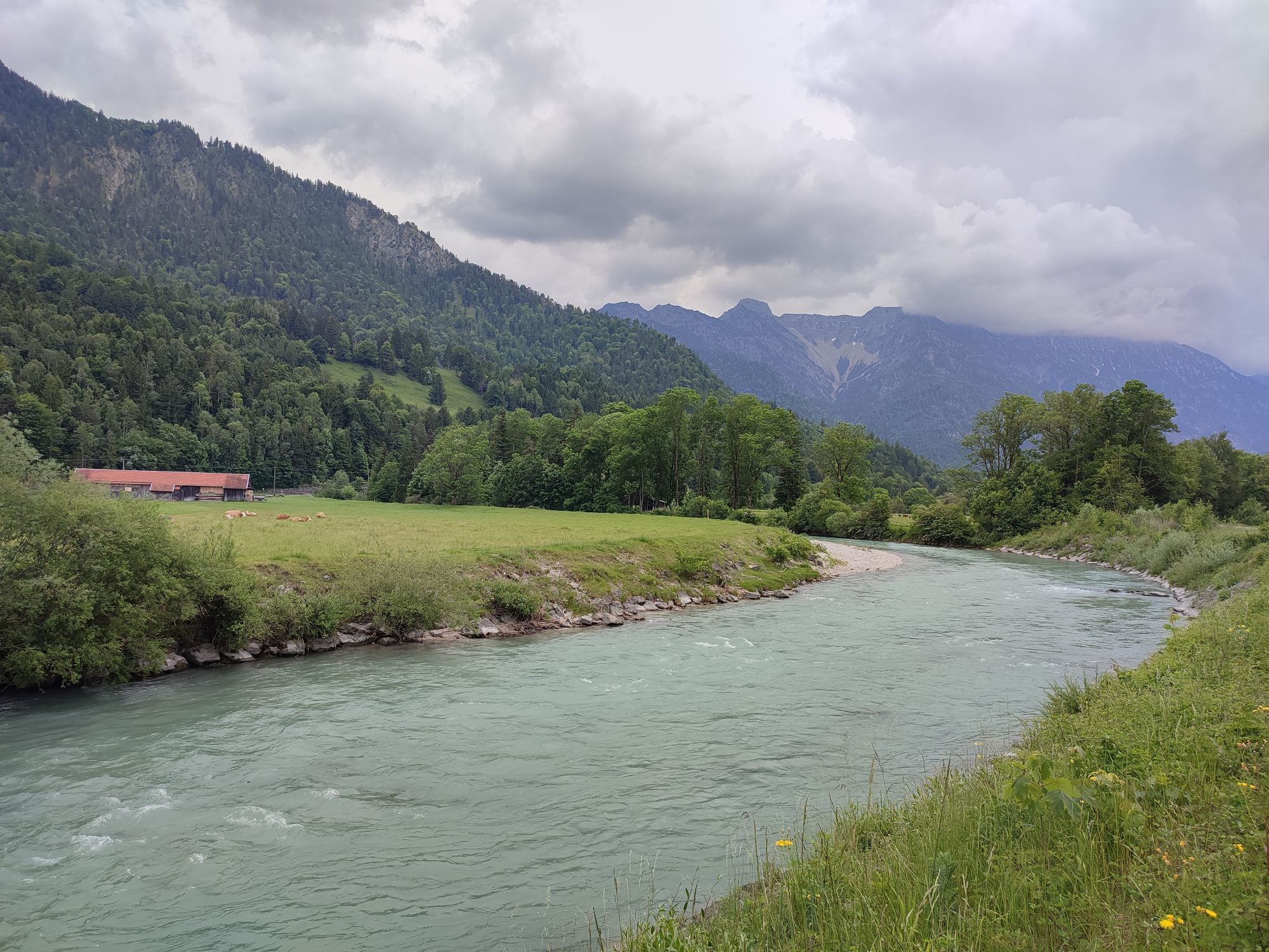
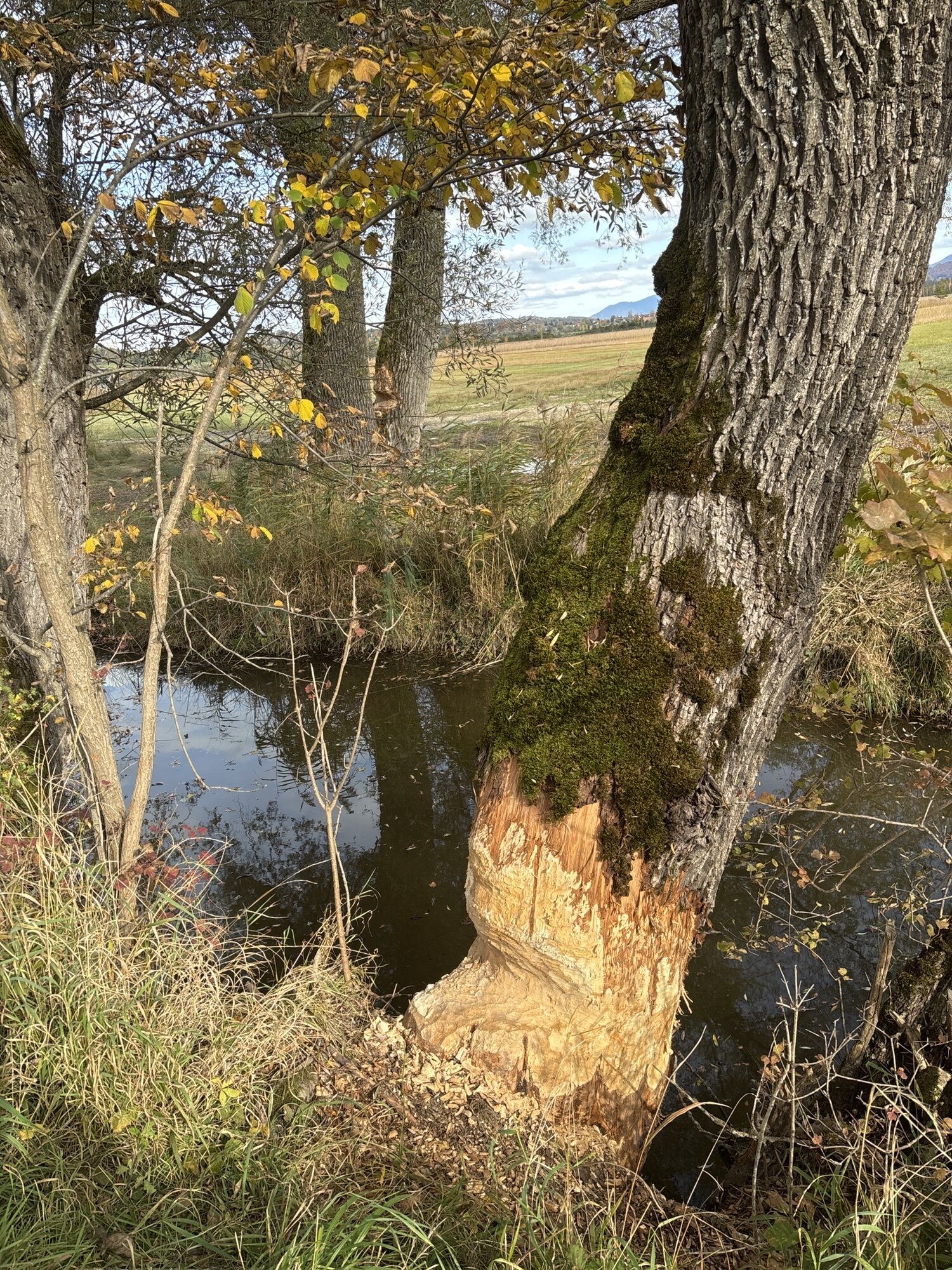
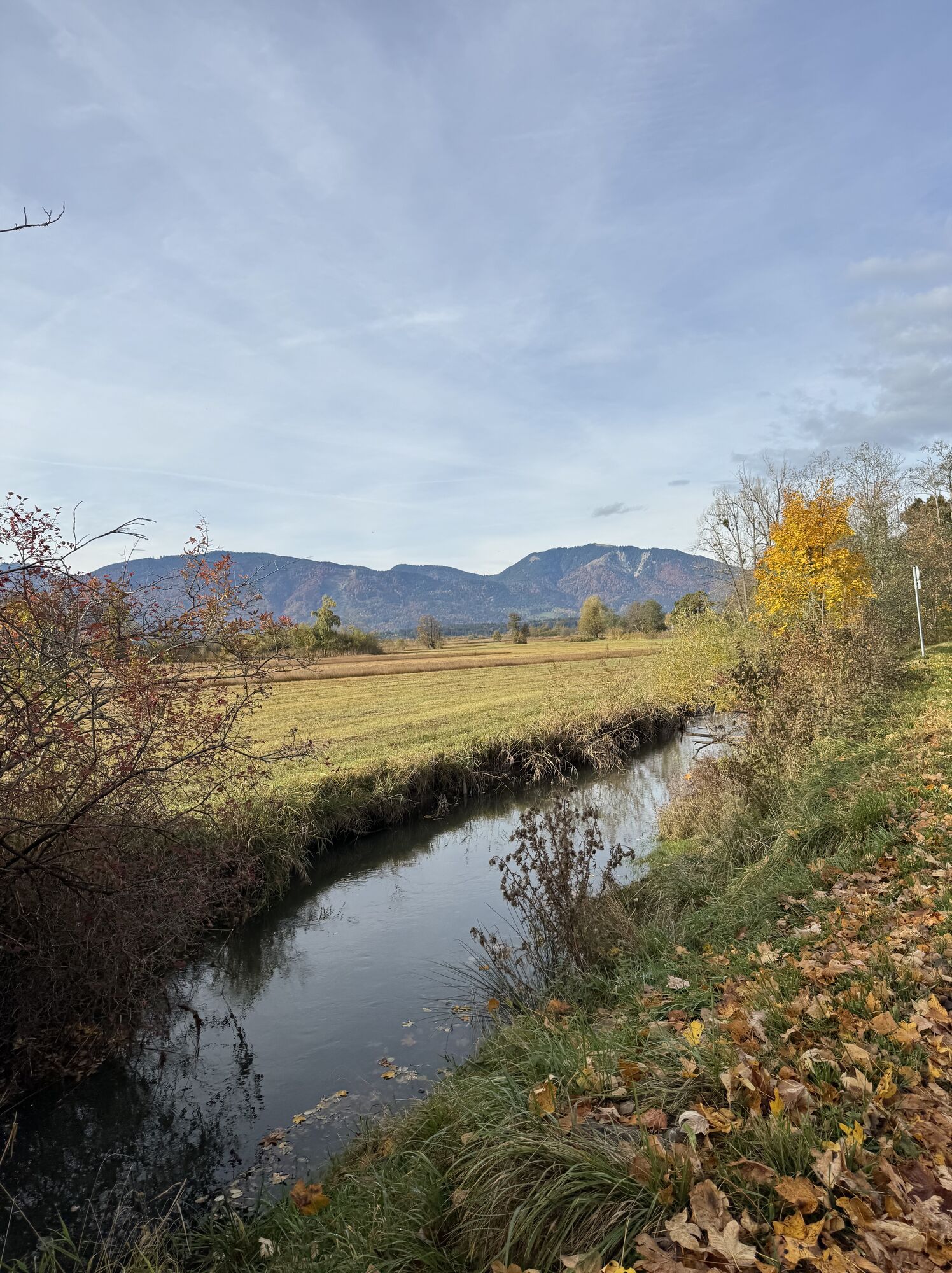
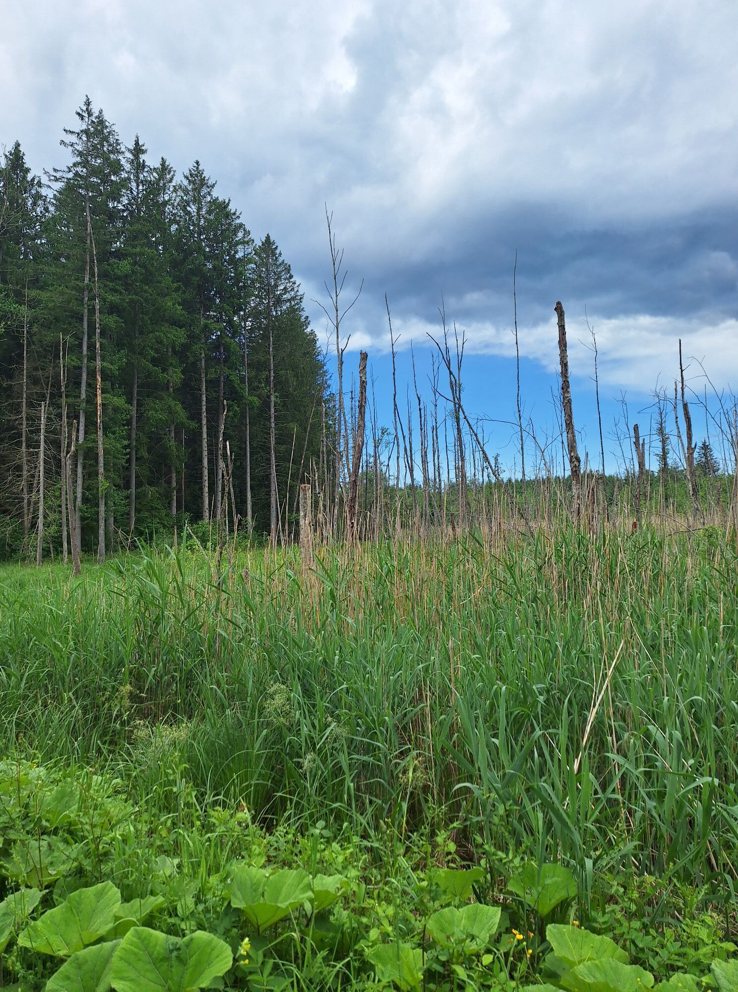
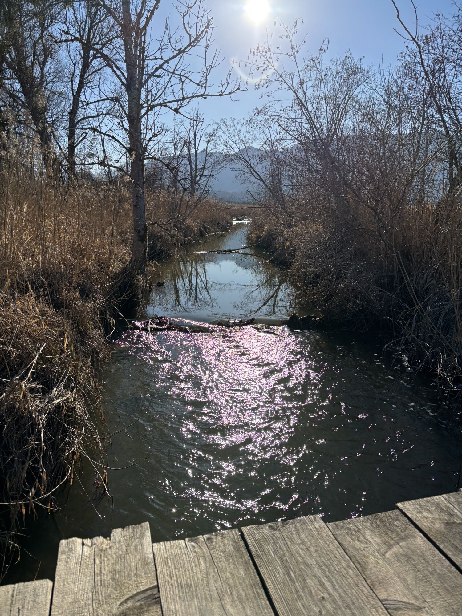
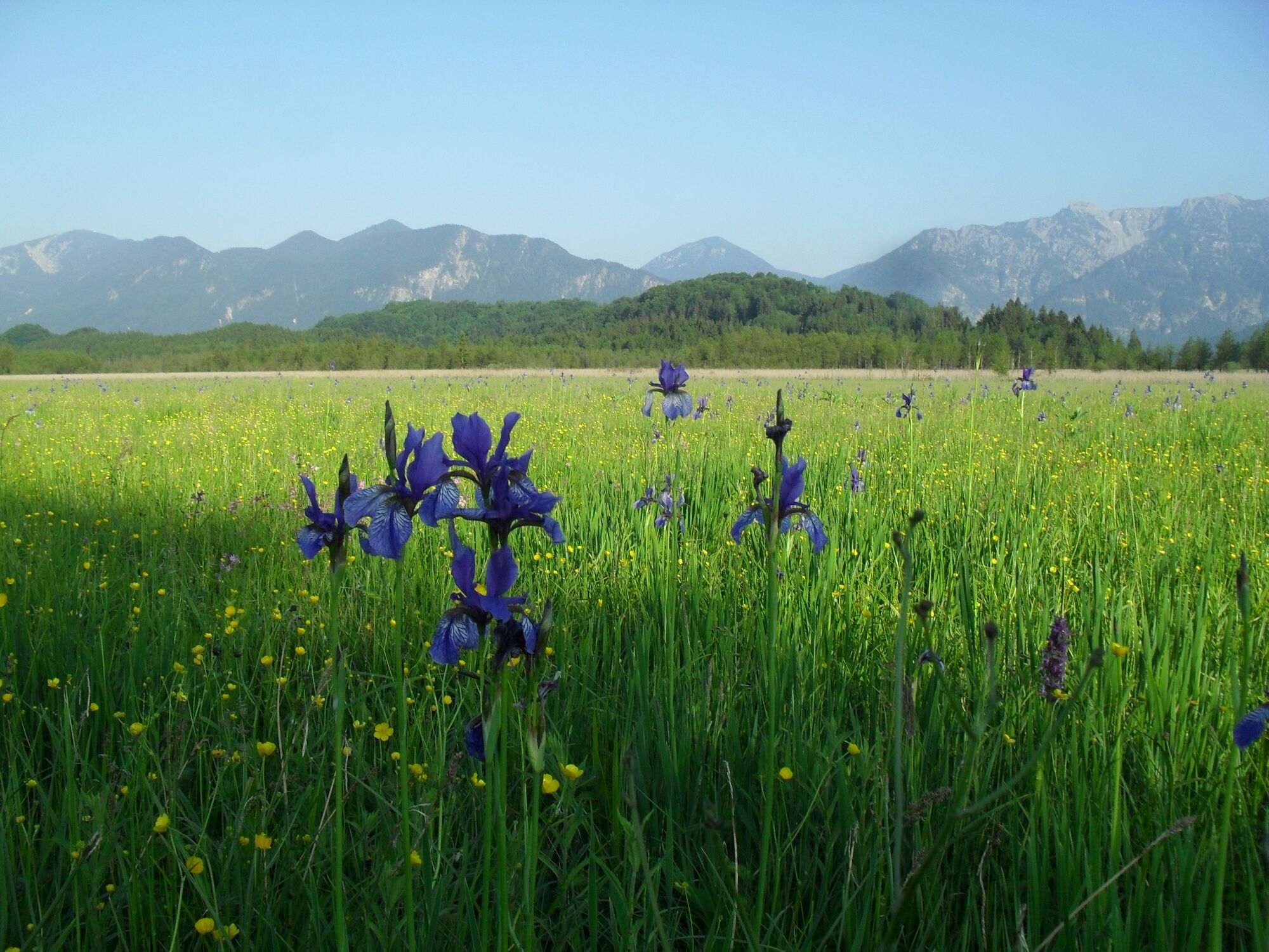
Keep right to proceed along the link road at the southern edge of the "Murnauer Moos" nature conservation area heading in the direction of Eschenlohe. In Eschenlohe, turn left at the church to meet a cycle path as you leave the village. This will take you alongside the River Loisach and later alongside the B 2 main road to Murnau.
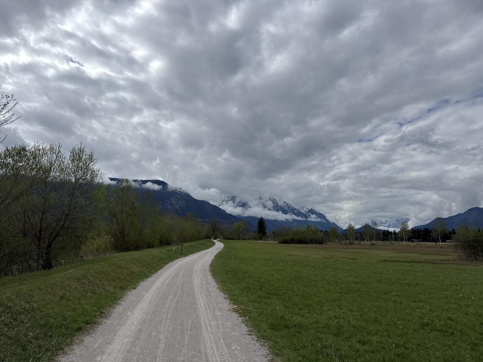
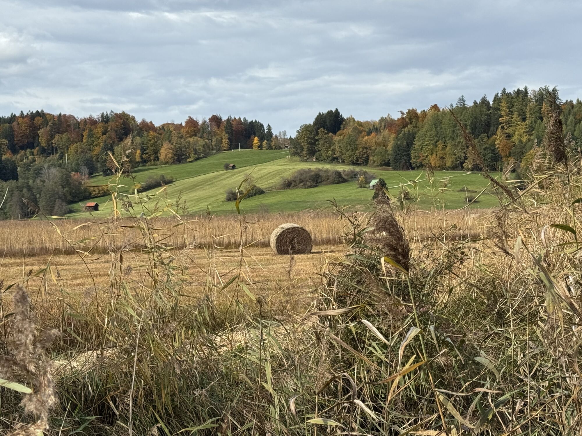
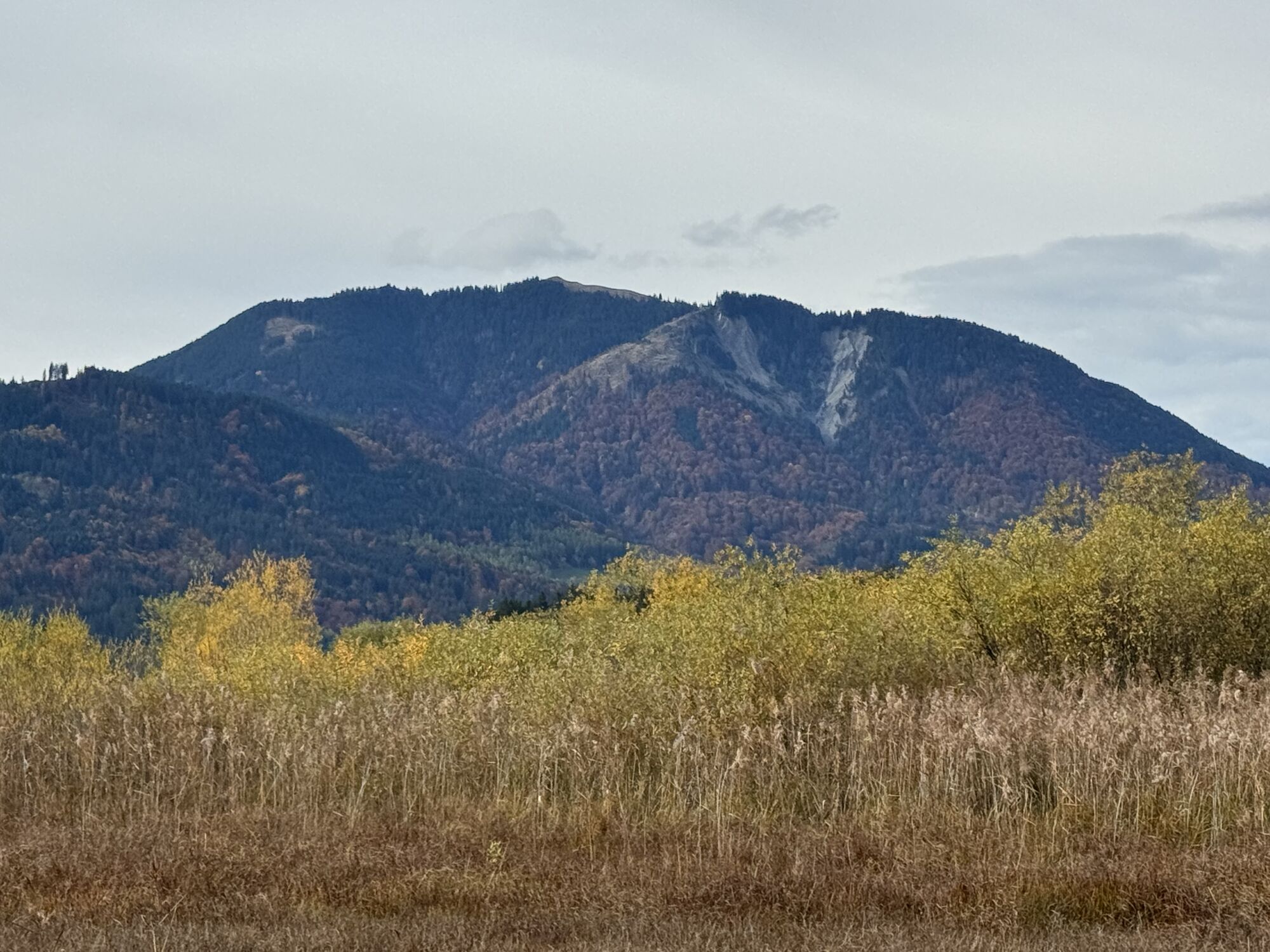
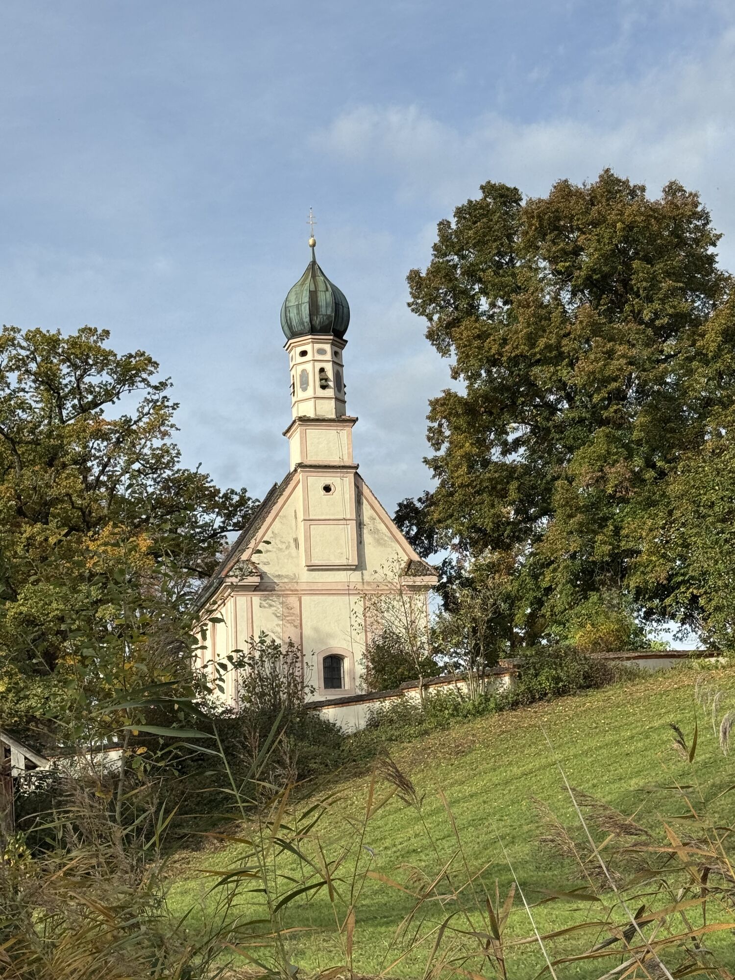
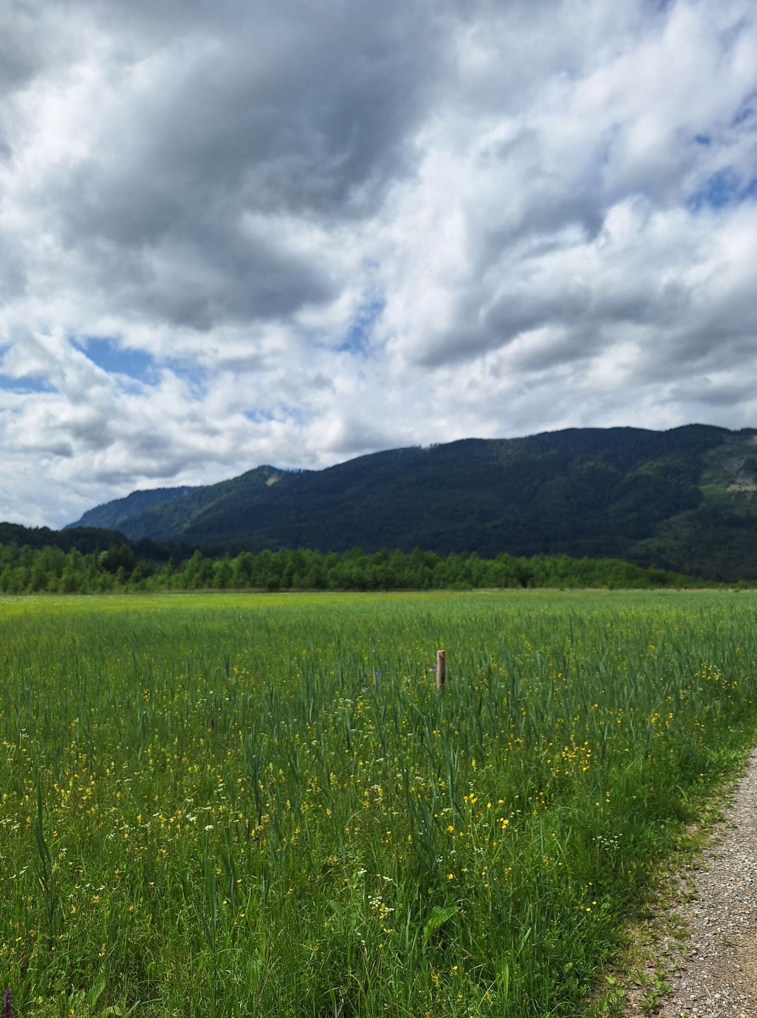
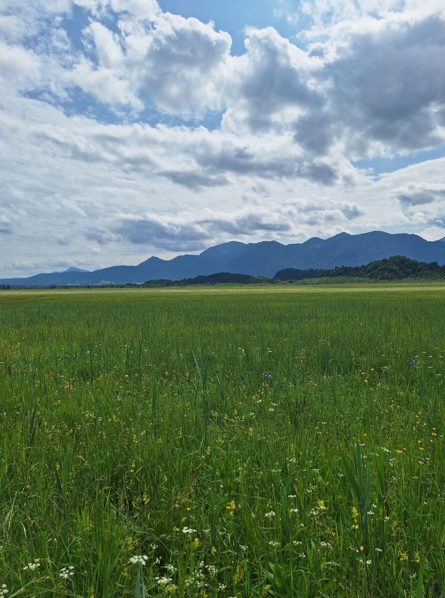
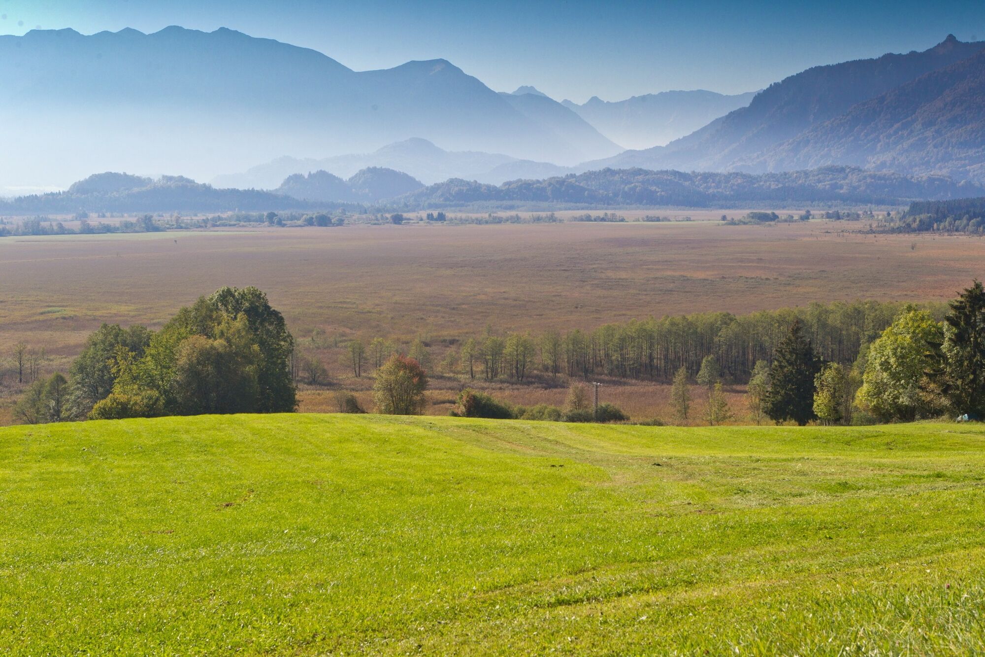
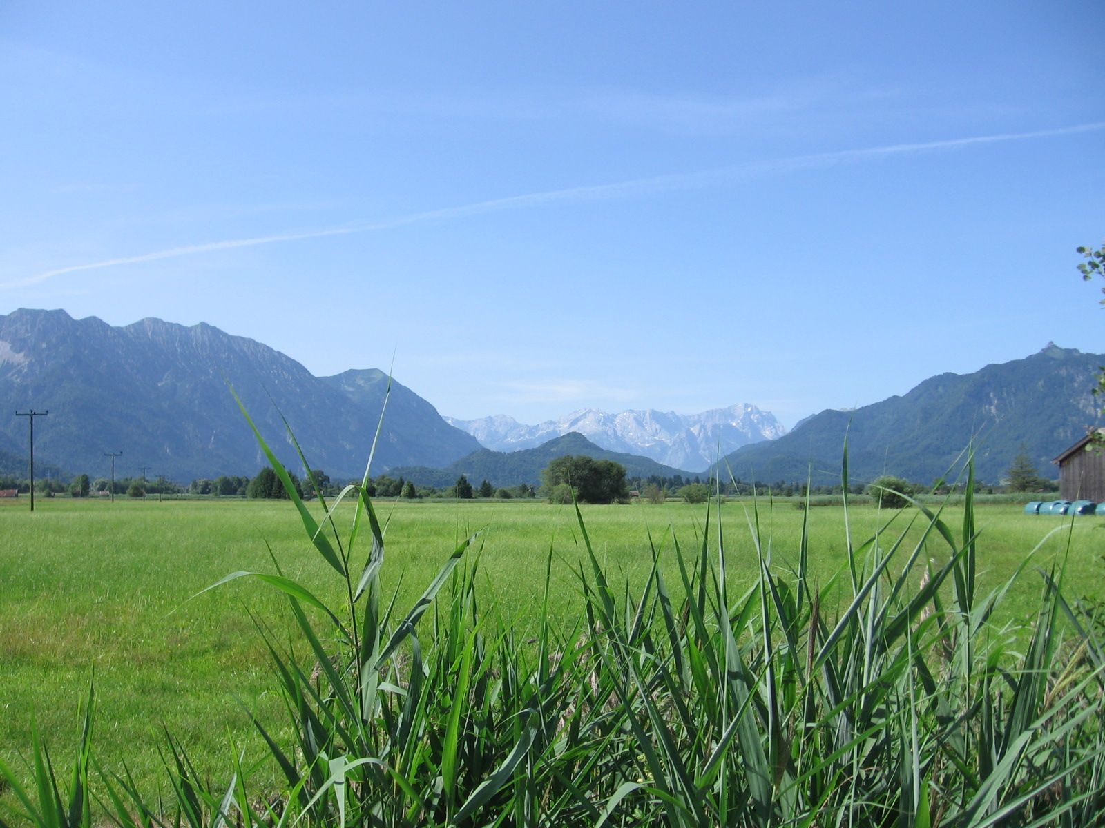
Entering Murnau, cross the busy B 2. After a short descent, you will reach the picturesque "Ramsachkircherl" church, which also has a small inn. Continue through the northern part of Murnau Moor enjoyingviews of the distant Wetterstein Mountains and the foothills of the Ammergau Alps until you meet a tarred road near Grafenaschau.
Turn left and then immediately right. This road will take you past the sports ground along the outward route with which you are now familiar and back to Bad Kohlgrub.
Oui
Radverleih + Reparatur
Um eine reibungslose Radtour durch die Ammergauer Alpen zu garantieren, empfehlen wir Ihnen folgende Ausrüstung:
Fahrradhelm Handschuhe Kurze oder lange Radlerhose Kurzes oder langes Trikot Regenjacke Gute Schuhe evtl. mit Klick Sonnenbrille Trinksystem Verpflegung Erste-Hilfe-Set GPS-Gerät + zweiter Satz Batterien Aktuelle Karte (Maßstab 1:50 000) Ersatzschlauch, Pumpe Werkzeug Fotoapparat Geld
Die Tour ist nach bestem Wissen zusammengestellt, eine Gewähr für die Richtigkeit der Angaben wird nicht gegeben. Die Befahrung erfolgt auf eigene Gefahr und kann mit den üblichen, beim Aufenthalt im Gebirge immer vorhandenen Risiken verbunden sein. Jede Haftung ist ausgeschlossen.
Bitte nehmen Sie immer Rücksicht auf Fußgänger und Wanderer. Machen Sie sich rechtzeitig bemerkbar, reduzieren Sie die Geschwindigkeit und steigen auf engen Wegen ab und schieben das Fahrrad. Wir appellieren für ein respektvolles Miteinander von Wanderer und Biker.
Im Notfall verständigen Sie bitte die nächstgelegene Rettungsleitstelle. Unabhängig vom Standort erreichen Sie diese deutschlandweit unter der Telefonnummer 112.
A95 to Bad Kohlgrub via Murnau (St2062)
bus stop: Bad Kohlgrub Rathaus
9621 Oberammergau - Saulgrub - Bad Kohlgrub - Murnau
train stop: Kurhaus Bad Kohlgrub
Murnau - Bad Kohlgrub - Oberammergau
Guests in the Ammergauer Alps Region can use their electronic guest pass or the "KönigsCard" to obtain free bus travel.
Car park in Erlestraße
2
Für Familien mit Kindern empfiehlt es sich, diese Strecke von Bad Kohlgrub nach Murnau über das Murnauer Moos abzukürzen. Um sich den stetigen Anstieg der Rückfahrt zu ersparen, kann man dann auch den Zug von Murnau aus zurücknehmen.
Parcours populaires à proximité
- 4,3
Heimgarten-Herzogstand Rundwanderung
moyenRandonnée13,3 km - 4,8
Walchensee, Heimgarten, Herzogstand
moyenRandonnée10,3 km - 4,5
Teufelstättkopf / Unterammergau
moyenRandonnée12,2 km - 4,4
Kuhfluchtwasserfälle
moyenRandonnée1,32 km - 4,7
Rundweg Heimgarten und Herzogenstand
moyenRandonnée15,0 km - 4,3
Randonnée en montagne - Kofel
moyenRandonnée11,3 km - 4,5
Hike – Hinteres Hörnle
facileRandonnée10,8 km - 4,9
Schafkopf
facileRandonnée10,2 km - 3,9
Vom Herzogstand auf den Heimgarten
facileRandonnée14,4 km - 3,3
Mountain Hike - Laber over Schartenköpfe
moyenRandonnée8,95 km

Randonnée et suivi


Ne manquez pas les offres et l'inspiration pour vos prochaines vacances
Votre adresse électronique a été ajouté à la liste de diffusion.